Poverty Flat
Campground · 8 bookable sites ·
Managed by the USDA Forest Service
Payette National Forest (NF) · Open Access
- 8
- Bookable sites
- up to 5
- People per site
- 4,228 ft
- Elevation
Overview
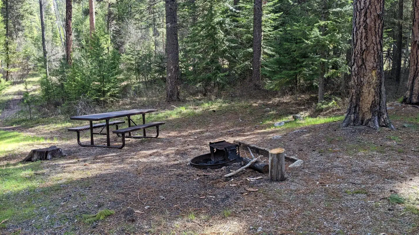
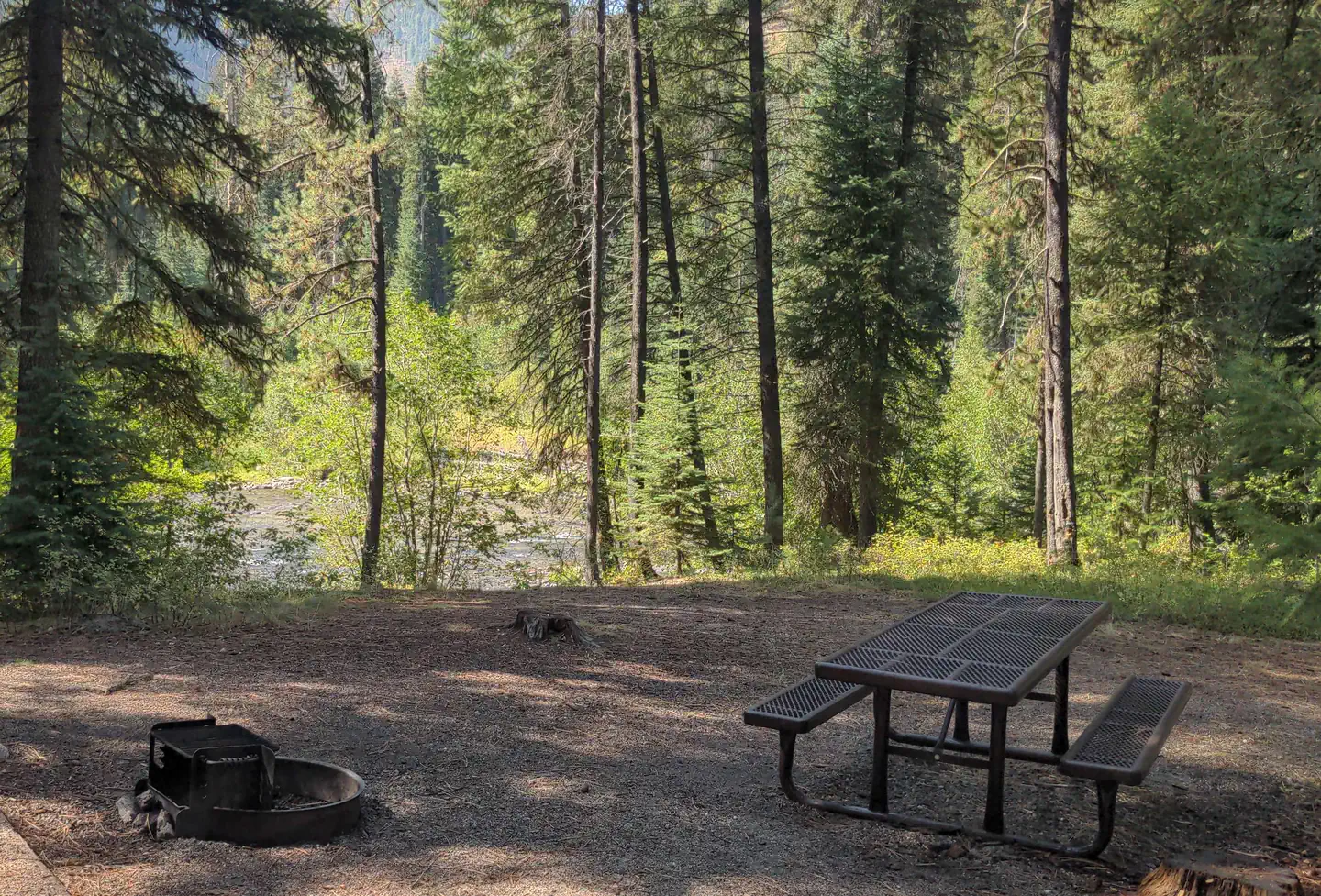
Located along side the South Fork Salmon River, this paved campground offers 10 campsites, including 4 walk in tent sites.
This location is available on a first-come, first-served basis only. Visitors are required to physically arrive at the campground to purchase and claim a site. Once on-site, you may be able to pay for your campsite(s) by scanning a QR code using the Recreation.gov mobile app, and the Scan and Pay feature.
If this option is available, you will need to first download the free Recreation.gov mobile app https://www.recreation.gov/mobile-app prior to your arrival as some remote areas have limited or no cellular service.
Recreation
The campground serves as take-out for those floating the South Fork of the Salmon River from Goat Creek. Serves as the trailhead for an extensive trail system. Many loop hikes are possible from here, of varying lengths and difficulties. Open to those on foot, horses, mountain bikes, and trail bikes. Fishing in the river.
Facilities
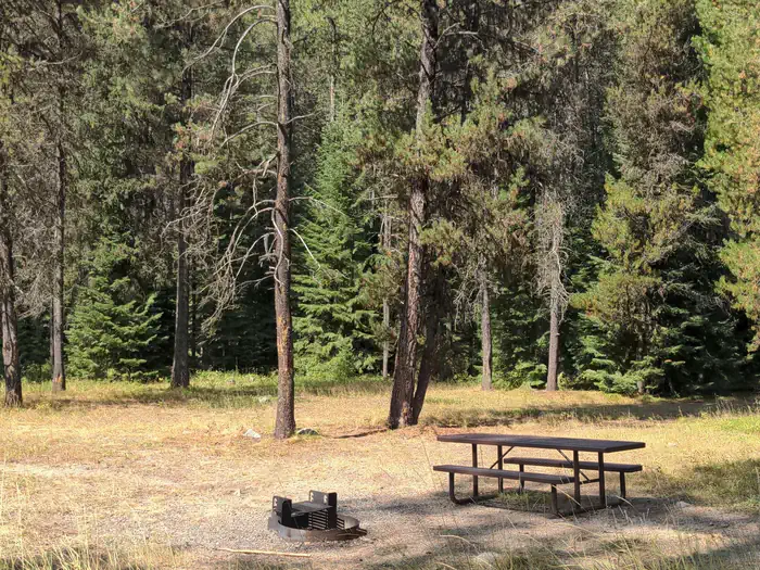
Fire rings, hitching rails, toilet, drinking water, pack in/pack out. Please pack out all your trash. No hook-ups.
Nearby Attractions
The South Fork of the Salmon River is a highly popular area of the Forest and is one of the earlier areas to be snow-free in the spring. Several campgrounds and dispersed campsites can be found along the South Fork Road (FS Rd #674). The southern-most 7 miles of the South Fork Road are on the Boise National Forest.
The facts
- 8 bookable sites
- 9 sites in total, including non-bookable
- Up to 5 people per site
- Loops: Poverty Flat, Scan and Pay
Site types
- 4 Standard Nonelectric
- 4 Walk To
- 1 Management
Amenities
- Pets allowed
Not recorded upstream: electric hookups, water hookups, sewer hookups, campfires allowed, fire pits, picnic tables, grills, shade.
9 campsites at Poverty Flat
Check-in 2:00 PM · Check-out 11:00 AM
| Site | Loop | Type | Entry | Surface | Max rig | People | |
|---|---|---|---|---|---|---|---|
| 01 | Poverty Flat | Standard Nonelectric | — | — | — | 5 | 🐾 |
| 02 | Poverty Flat | Walk To | — | — | — | 5 | 🐾 |
| 03 | Poverty Flat | Walk To | — | — | — | 5 | 🐾 |
| 04 | Poverty Flat | Walk To | — | — | — | 5 | 🐾 |
| 05 | Poverty Flat | Walk To | — | — | — | 5 | 🐾 |
| 06 | Poverty Flat | Standard Nonelectric | — | — | — | 5 | 🐾 |
| 07 | Poverty Flat | Standard Nonelectric | — | — | — | 5 | 🐾 |
| 08 | Poverty Flat | Standard Nonelectric | — | — | — | 5 | 🐾 |
| Standard | Scan and Pay | Management | — | — | — | — |
Getting there
From McCall, go 30 miles northeast on Forest Road 48 (Lick Creek Road), then 13 miles south on FR 674 (South Fork Road).
The South Fork corridor is about 30 miles from Cascade along the Warm Lake Highway. Usually by July, Lick Creek Pass (Road #48) is snow-free, providing a faster access from McCall (35 miles) to the South Fork corridor. Please follow posted speed limits and drive carefully, the South Fork Road is a paved, narrow, one-lane road with two-way traffic and many blind corners.
44.82467, -115.70244 · 44°49'28.8"N 115°42'8.8"W
Typical weather
Typically 87°F in Jul, down to 34°F in Dec.
| Jan | Feb | Mar | Apr | May | Jun | Jul | Aug | Sep | Oct | Nov | Dec | |
|---|---|---|---|---|---|---|---|---|---|---|---|---|
| High °F | 36 | 40 | 46 | 56 | 64 | 74 | 87 | 87 | 76 | 59 | 43 | 34 |
| Low °F | 12 | 16 | 23 | 29 | 35 | 42 | 45 | 45 | 37 | 30 | 22 | 15 |
| Precip in | 2.7 | 2.0 | 2.7 | 2.1 | 1.8 | 2.1 | 0.9 | 0.7 | 1.3 | 2.0 | 2.7 | 3.0 |
1991–2020 averages from the nearest NOAA station, 13.9 mi away — not measured at the facility itself, and elevation can make a real difference over that distance.
Map
More photos
Member photos
Common questions about Poverty Flat
- Can you reserve a site at Poverty Flat?
- Yes, Poverty Flat is reservable through Recreation.gov.
- How many campsites does Poverty Flat have?
- 9 sites in total, of which 8 can be booked.
- Are pets allowed at Poverty Flat?
- Yes, pets are allowed at Poverty Flat.
Also listed by
Poverty Flat also appears in other federal recreation data. Facts below are matched by name and location, not confirmed by Poverty Flat's operator.
Camping near Poverty Flat
- Four Mile 2.7 mi · Campground · we watch it
- Camp Creek 4.6 mi · Campground · we watch it
- Buckhorn Bar 8 mi · Campground · we watch it
- Kennally Creek 9 mi · Campground · we watch it
- Shoreline 11.9 mi · Campground · we watch it
- Picnic Point (Id) 12.1 mi · Campground · we watch it
- Penny Springs Campground 7.8 mi · Campground
- Trout Creek Campground 9 mi · Campground
- Deadman Bar Camping Area 9.8 mi · Campground
- Ice Hole Campground 10.9 mi · Campground
- Rapid Creek Camping Area 11.5 mi · Campground
- South Fork Salmon River Campground 11.7 mi · Campground
Contact
- Phone N/A
- Book Recreation.gov
Recreation.gov last updated this record on 2026-02-25.
Facility information and photographs from Recreation.gov (RIDB). SpotOpened is not affiliated with Recreation.gov or any federal agency.
Comments