Pigeon Point Group Campground
Campground · 1 bookable site ·
Managed by the USDA Forest Service
Trinity, California Wild and Scenic River (Recreational) · Open Access
- 1
- Bookable site
- up to 50
- People per site
- 1
- Accessible site
- 1,375 ft
- Elevation
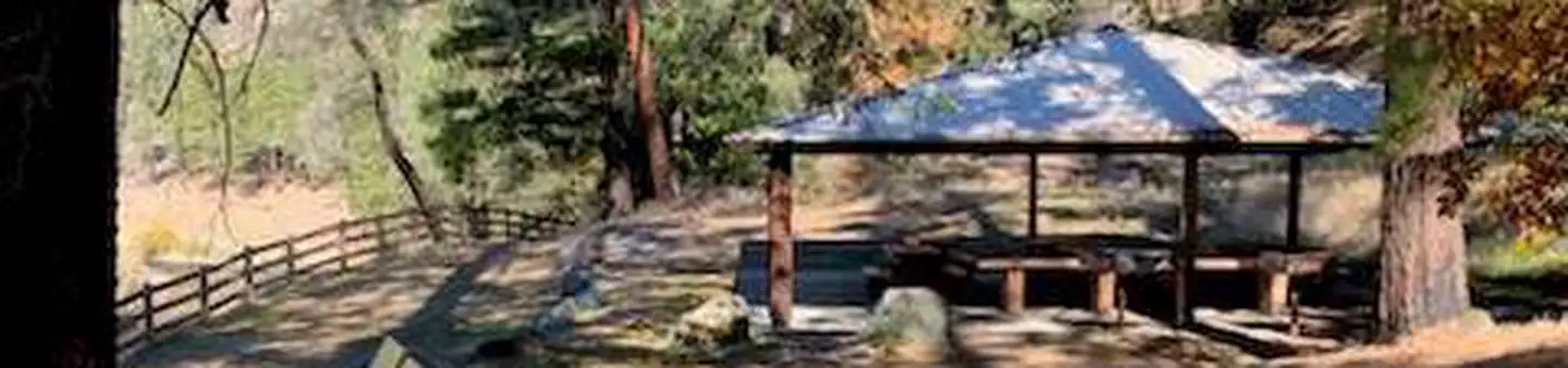
Overview
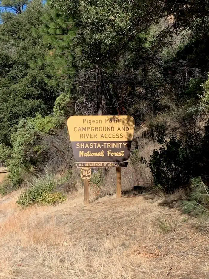
Pigeon Point Group Campground is located on CA Highway 299 approximately 15 miles west of Weaverville, CA at 1100'. Located on the Wild and Scenic portion of the Trinity River, this campground is a wonderful place to camp when enjoying all the river has to offer.
Recreation
The Trinity River offers fun-filled hours of fishing, swimming, floating, rafting, kayaking and boating. River access is available at this location for boats that can be carried by hand. Nearby tributaries to the Trinity River offer beautiful spots to swim and spend the day.
Generally, Pigeon Point to Big Flat is too dangerous for tuber and family canoeists. Boating is not advisted from Cedar Flat to Grays Falls except for expert boaters. Several commercial guides operate on the Trinity River under Forest Service Special Use permits. They provide quality guided raft and white water instruction and can be found on the Shasta-Trinity NF website .
**Please note that the Trinity River is subject to periodic changes in flow conditions from releases from Lewiston Dam. Current flows (CFS) can be obtained by calling (530) 246-7594.
Facilities
There is one group site located at this campground. There are picnic tables, fire rings and vault toilets. No potable water is available.
Natural Features
Located on the Wild and Scenic portion of the Trinity River, this campground has a beautiful view of the river.
The facts
- 1 bookable site
- 1 accessible site
- Up to 50 people per site
- Loops: A
Site types
- 1 Group Standard Nonelectric
Amenities
- Campfires allowed
- Picnic tables
- Shade
- Pets allowed
Not recorded upstream: electric hookups, water hookups, sewer hookups, fire pits, grills.
1 campsite at Pigeon Point Group Campground
| Site | Loop | Type | Entry | Surface | Water | Max rig | People | |
|---|---|---|---|---|---|---|---|---|
| 1 | A | Group Standard Nonelectric | — | — | Riverfront | — | 50 | ♿ 🐾 |
Getting there
Pigeon Point Group Campground is located on the south side of CA Highway 299 15 miles west of Weaverville, CA.
To get to Skunk Point Group Campground from Redding, CA: Travel West on CA Highway 299, through Weaverville, CA, for approximately 60 miles.
To get to Pigeon Point Group Campground from Arcata, CA: Travel East on CA Highway 299 for approximately 80 miles.
40.76705, -123.13027 · 40°46'1.4"N 123°7'49.0"W
Typical weather
Typically 97°F in Jul, down to 48°F in Dec.
| Jan | Feb | Mar | Apr | May | Jun | Jul | Aug | Sep | Oct | Nov | Dec | |
|---|---|---|---|---|---|---|---|---|---|---|---|---|
| High °F | 50 | 56 | 62 | 69 | 78 | 86 | 97 | 95 | 89 | 74 | 57 | 48 |
| Low °F | 34 | 35 | 37 | 39 | 44 | 48 | 53 | 52 | 47 | 41 | 38 | 34 |
| Precip in | 6.4 | 5.4 | 4.6 | 2.6 | 1.7 | 0.7 | 0.2 | 0.2 | 0.4 | 2.2 | 4.2 | 7.2 |
1991–2020 averages from the nearest NOAA station, 4.5 mi away — not measured at the facility itself, and elevation can make a real difference over that distance.
Map
More photos
Member photos
Common questions about Pigeon Point Group Campground
- Can you reserve a site at Pigeon Point Group Campground?
- Yes, Pigeon Point Group Campground is reservable through Recreation.gov.
- How many campsites does Pigeon Point Group Campground have?
- 1 site.
- Are pets allowed at Pigeon Point Group Campground?
- Yes, pets are allowed at Pigeon Point Group Campground.
- Are campfires allowed at Pigeon Point Group Campground?
- Campfires are allowed at Pigeon Point Group Campground. Check for a current fire restriction before you go.
Also listed by
Pigeon Point Group Campground also appears in other federal recreation data. Facts below are matched by name and location, not confirmed by Pigeon Point Group Campground's operator.
USDA Forest Service — data as of Aug 24, 2026
- $12/day for single camp sites. $75/day for group site.
Camping near Pigeon Point Group Campground
- Skunk Point Group Campground 5.8 mi · Campground · we watch it
- East Weaver Group Campground 11 mi · Campground · we watch it
- Hayden Flat Group Campground 11.2 mi · Campground · we watch it
- Bridge Camp (CA) 13.4 mi · Campground · we watch it
- Tannery 15.5 mi · Campground · we watch it
- Big Flat Campground 4.3 mi · Campground
- Ripstein Campground 9.2 mi · Campground
- Big Bar Area 10.5 mi · Facility
- Hobo Gulch Campground 11.3 mi · Campground
- Steiner Flat Primitive Campground 11.4 mi · Campground
- Rush Creek Campground 12.7 mi · Campground
- Stoney Point Campground 15.3 mi · Campground
Contact
- Phone 5306232121
- Book Recreation.gov
Recreation.gov last updated this record on 2026-06-24.
Facility information and photographs from Recreation.gov (RIDB). SpotOpened is not affiliated with Recreation.gov or any federal agency.
Comments