Bridge Camp (CA)
Campground · 11 bookable sites ·
Managed by the USDA Forest Service
Trinity National Forest (NF) · Open Access
- 11
- Bookable sites
- up to 8
- People per site
- 2,664 ft
- Elevation
Overview
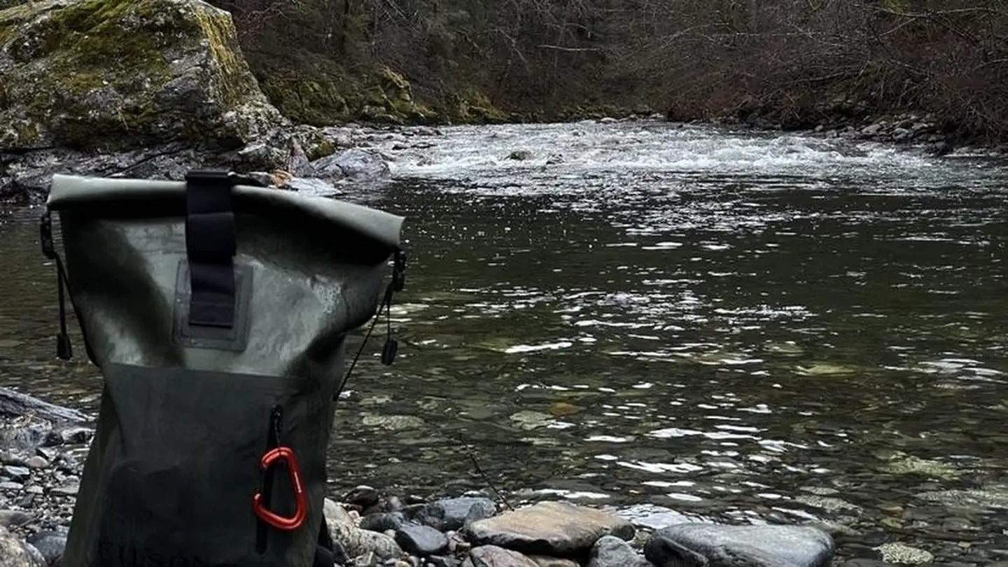
Bridge Camp Campground is located on Staurt Forts Creek, it has a total of 10 single sites with an average back in around 16ft. This campground has vault toilets and water spigots dependent on season. There are picnic tables and fire rings with grills on top located at each site. The campground is a horse camp and remote.
This Campground is on a First Come - First Serve Basis, vistors are required to physically be at the campground to purchase and claim a site. You must also occupy the area the day you pay for it, no advance payments. We encourage our visitors to download the recreation.gov app to take advantage of the Scan & Pay Option. There is also a Iron Ranger on site that you can pay with cash or check.
Recreation
Trinity offers wholesome memories, perfect for families, adventures and everything in-between. There are multiple hiking trails and rivers making it the perfect destination for exploration. Popular activities on Trinity Lake include boating, fishing, sailing and water skiing.
Different Species of fish in Trinity Lake include smallmouth bass, largemouth bass, rainbow trout, catfish, kokanee salmon, Chinook salmon.
Bass fishing – dredger piles near the head of the lake is the most promising locations. Fishing near the shoreline during spring (March-June) is best.
Trout fishing – found year-round throughout the lake but best during spring where they can be found nearly anywhere. During the summer months trout tend to stay near the mouths of the major tributaries.
Facilities
A public boat ramp is located approximately 8 miles away at Minersville (dependent on water level).
To view current ramp information visit our website: Ramp Information
Natural Features
Trinity Lake is one of the largest reservoirs in California, it has an elevation around 2,387' with around 145 miles of shoreline. Trinity is made up of 3 arms: Papose, Buckeye and Stuart Fork Arm. The Water Volume of Trinity Lake: 2,447,650 acre-ft. There are a variety of coves and arms perfect for fishing or a quiet picnic on the water. The main body of the lake has plenty of room for water sports like wakeboarding or tubing.
Nearby Attractions
There are several attractions in the area for a list view our website: Local Attractions
The facts
- Season: Year round — USDA Forest Service, Aug 24, 2026
- 11 bookable sites
- Up to 8 people per site
- Loops: Bridge Camp, S&P Loop
Site types
- 11 Standard Nonelectric
Amenities
- Pets allowed
Not recorded upstream: electric hookups, water hookups, sewer hookups, campfires allowed, fire pits, picnic tables, grills, shade.
11 campsites at Bridge Camp (CA)
Check-in 03:00 PM · Check-out 02:00 PM
| Site | Loop | Type | Entry | Surface | Max rig | People | |
|---|---|---|---|---|---|---|---|
| Standard Nonelectric 1 | Bridge Camp | Standard Nonelectric | — | — | — | 8 | 🐾 |
| Standard Nonelectric 10 | Bridge Camp | Standard Nonelectric | — | — | — | 8 | 🐾 |
| Standard Nonelectric 2 | Bridge Camp | Standard Nonelectric | — | — | — | 8 | 🐾 |
| Standard Nonelectric 3 | Bridge Camp | Standard Nonelectric | — | — | — | 8 | 🐾 |
| Standard Nonelectric 4 | Bridge Camp | Standard Nonelectric | — | — | — | 8 | 🐾 |
| Standard Nonelectric 5 | Bridge Camp | Standard Nonelectric | — | — | — | 8 | 🐾 |
| Standard Nonelectric 6 | Bridge Camp | Standard Nonelectric | — | — | — | 8 | 🐾 |
| Standard Nonelectric 7 | Bridge Camp | Standard Nonelectric | — | — | — | 8 | 🐾 |
| Standard Nonelectric 8 | Bridge Camp | Standard Nonelectric | — | — | — | 8 | 🐾 |
| Standard Nonelectric 9 | Bridge Camp | Standard Nonelectric | — | — | — | 8 | 🐾 |
| Standard Nonelectric | S&P Loop | Standard Nonelectric | — | — | — | 8 | 🐾 |
Getting there
Bridge Camp is located 17 miles north of Weaverville
Going west on 299 take a right on Trinity Dam Blvd follow for about 4.5 miles. Turn left onto Lewiston Pike Rd about 1 mile then turn left onto Rush Creek Rd for about 8 miles. Turn right onto Hwy 3 about 6 miles turn left onto Trinity Alps Rd follow for about 4 miles campground is on the left.
Campground can also be mapped via google maps.
40.87288, -122.91536 · 40°52'22.4"N 122°54'55.3"W
Typical weather
Typically 95°F in Jul, down to 47°F in Dec.
| Jan | Feb | Mar | Apr | May | Jun | Jul | Aug | Sep | Oct | Nov | Dec | |
|---|---|---|---|---|---|---|---|---|---|---|---|---|
| High °F | 50 | 55 | 61 | 68 | 77 | 86 | 95 | 95 | 89 | 75 | 57 | 47 |
| Low °F | 31 | 31 | 33 | 36 | 42 | 46 | 52 | 50 | 44 | 36 | 33 | 31 |
| Precip in | 6.7 | 5.7 | 5.0 | 2.6 | 1.9 | 0.9 | 0.3 | 0.2 | 0.3 | 2.0 | 4.3 | 7.7 |
1991–2020 averages from the nearest NOAA station, 9.5 mi away — not measured at the facility itself, and elevation can make a real difference over that distance.
Map
Member photos
Common questions about Bridge Camp (CA)
- Can you reserve a site at Bridge Camp (CA)?
- Yes, Bridge Camp (CA) is reservable through Recreation.gov.
- How many campsites does Bridge Camp (CA) have?
- 11 sites.
- Are pets allowed at Bridge Camp (CA)?
- Yes, pets are allowed at Bridge Camp (CA).
Also listed by
Bridge Camp (CA) also appears in other federal recreation data. Facts below are matched by name and location, not confirmed by Bridge Camp (CA)'s operator.
USDA Forest Service — data as of Aug 24, 2026
- $16 per site, per day, $8 per extra vehicle per day
Camping near Bridge Camp (CA)
- Mary Smith Campground 3.7 mi · Campground · we watch it
- Stoney Group Shasta-Trinity 3.7 mi · Campground · we watch it
- Fawn 4.2 mi · Campground · we watch it
- Tannery 4.3 mi · Campground · we watch it
- Bushytail 5.2 mi · Campground · we watch it
- Minersville Campground 5.6 mi · Campground · we watch it
- Stoney Point Campground 3.4 mi · Campground
- Stoney Creek Group Campground 3.8 mi · Campground
- Rush Creek Campground 3.9 mi · Campground
- Clark Springs Day Use Area and Beach 5.5 mi · Facility
- Clark Springs Public Boat Ramp 5.5 mi · Facility
- Ripstein Campground 5.9 mi · Campground
Contact
- Book Recreation.gov
Recreation.gov last updated this record on 2026-02-25.
Facility information and photographs from Recreation.gov (RIDB). SpotOpened is not affiliated with Recreation.gov or any federal agency.
Comments