McBride Canyon and Mullinaw Creek Campgrounds
Campground ·
Managed by the National Park Service
Lake Meredith National Recreation Area (National Recreation Area) · Open Access
- 2,942 ft
- Elevation
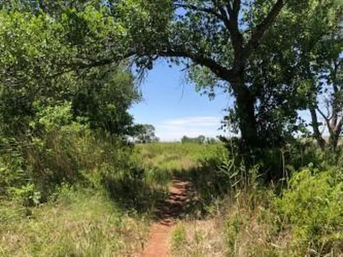
These areas are located south of the lake off of State Highway 136. There are large cottonwood trees that provide shade. The Mullinaw Creek area features the expanded Mullinaw Trails System . This trail system is open to hiking, biking, and horseback riding. NO OFF ROAD VEHICLES ALLOWED. No drinking water or flush toilets; vault-evaporator toilets only. Picnic tables, shade shelters, and grills. Horse corrals are located at Mullinaw Campground. The dirt roads can become impassable after rain.
Getting there
There are several different ways to get to Lake Meredith. If you are coming from Amarillo, exit Loop 335 North, then exit Hwy 136 North to Fritch. Headquarters is located at 419 E. Broadway in Fritch. If coming from the North you can take 1913 from the Dumas Highway or 1913 from US 287.
35.52945, -101.75943 · 35°31'46.0"N 101°45'34.0"W
Typical weather
Typically 97°F in Jul, down to 52°F in Jan.
| Jan | Feb | Mar | Apr | May | Jun | Jul | Aug | Sep | Oct | Nov | Dec | |
|---|---|---|---|---|---|---|---|---|---|---|---|---|
| High °F | 52 | 55 | 65 | 73 | 83 | 92 | 97 | 94 | 87 | 75 | 63 | 52 |
| Low °F | 21 | 24 | 31 | 40 | 50 | 61 | 66 | 64 | 57 | 43 | 31 | 23 |
| Precip in | 0.6 | 0.5 | 1.2 | 1.7 | 2.3 | 3.0 | 2.3 | 2.9 | 1.6 | 1.9 | 0.7 | 0.6 |
1991–2020 averages from the nearest NOAA station, 16.9 mi away — not measured at the facility itself, and elevation can make a real difference over that distance.
Map
Member photos
Common questions about McBride Canyon and Mullinaw Creek Campgrounds
- Can you reserve a site at McBride Canyon and Mullinaw Creek Campgrounds?
- No. McBride Canyon and Mullinaw Creek Campgrounds is not reservable through Recreation.gov, so sites are first-come, first-served or booked elsewhere.
Camping near McBride Canyon and Mullinaw Creek Campgrounds
- Alibates Visitor Center 4.7 mi · Facility
- Fort Ebey State Park 11 mi · Facility
- Harbor Bay Campground 11 mi · Campground
- Park Headquarters 12.5 mi · Facility
- Blue West Campground 12.9 mi · Campground
- Chimney Hollow Campground 13 mi · Campground
- Fritch Fortress 13.9 mi · Facility
- Blue Creek 14.4 mi · Facility
- Bugbee Canyon 16.5 mi · Facility
- Sanford Yake Campground 25.3 mi · Campground
- Sanford Yake 25.3 mi · Campground
- Rosita Flats 31.5 mi · Facility
Contact
- Phone (806) 857-3151
- Email lamr_interpretation@nps.gov
- Info Recreation.gov
Recreation.gov last updated this record on 2026-02-25.
Facility information and photographs from Recreation.gov (RIDB). SpotOpened is not affiliated with Recreation.gov or any federal agency.
Comments