Congaree National Park Ranger-Guided Canoe Tours
Tickets · South Carolina ·
Managed by the National Park Service
Congaree National Park (National Park) · Open Access
- 122 ft
- Elevation
Overview:
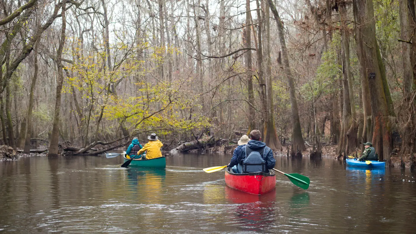
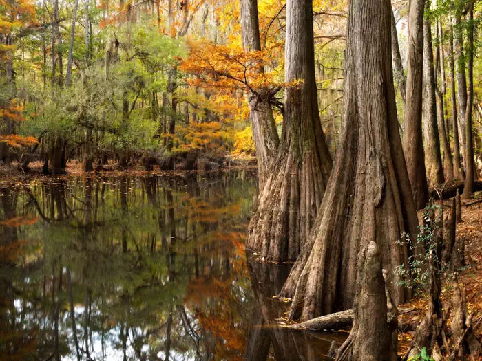
Congaree National Park preserves the largest remaining section of old-growth bottomland forest in the United States. A federally designated wilderness area in the floodplain of the Congaree River, it is a landscape forever shaped by water. Here, visitors to the park can see some of the tallest trees east of the Mississippi and witness amazing biodiversity.Numerous waterways can be found throughout the park. Cedar Creek, the primary body of water in the park, flows 15 miles from the parks northern border to its confluence with the Congaree River. This creek flows through a magnificent old-growth forest, past breath-taking trees and is home to many types of wildlife.
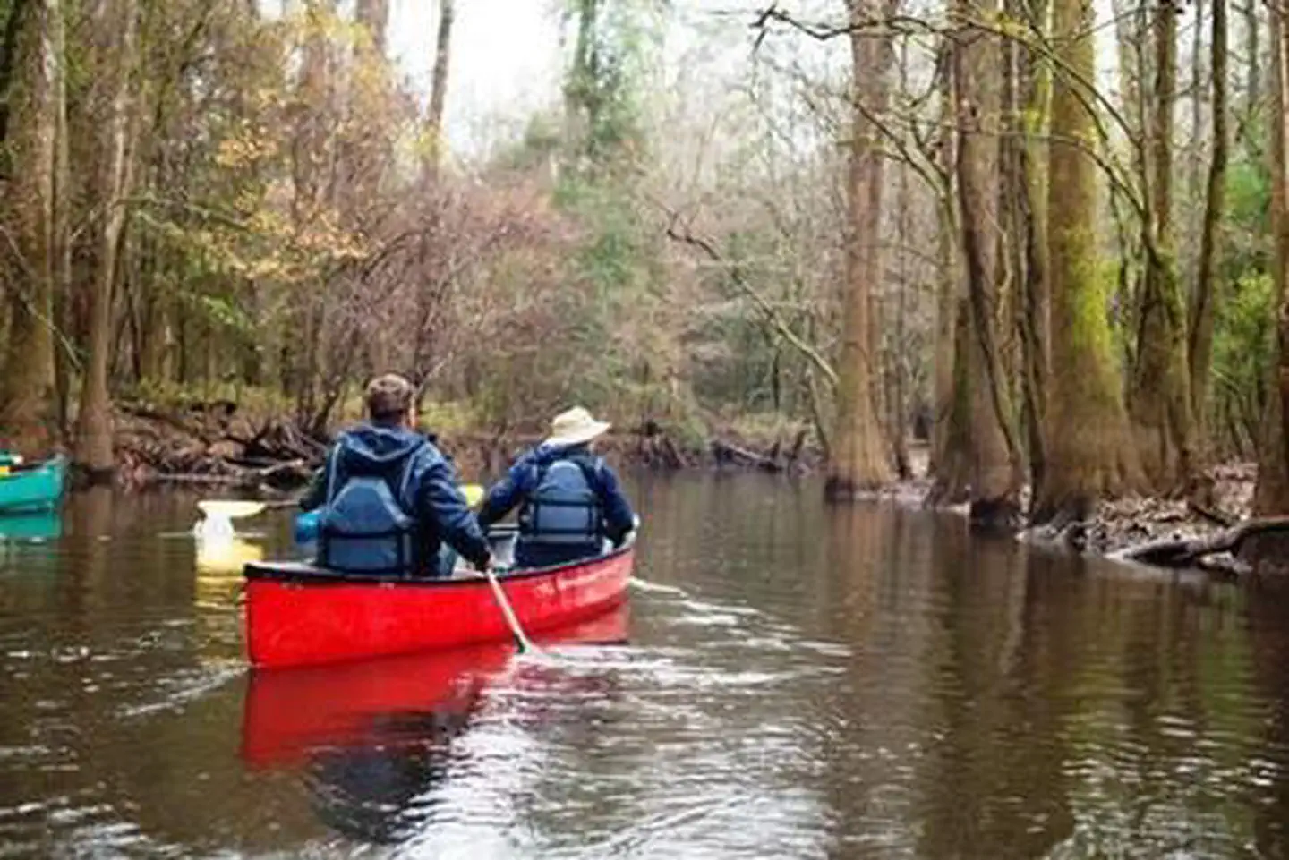
Congaree National Park offers a wide range of opportunities to explore and experience the great outdoors. Park visitors will find old growth forests teeming with wildlife, miles of hiking trails ranging from easy to moderately strenuous and miles of waterways in a canoe or kayak. The park offers advance reservations for guided canoe tours from April through November. Guided canoe tours will begin at the Harry Hampton Visitor Center. The park also offers first-come, first-served interpretive programs throughout the year including guided hikes and ranger presentations.
Summary of Fees
Tour Name
Fee
Reservation Fee (per ticket)
Changes*
Cancellations*
Ranger Guided Canoe Tours
$0.00
$1.50 (non-refundable)
n/a
$1.50
**Customers may request changes until midnight the day before the tour at no cost.
*Customers who cancel a tour will forfeit the $1.50 reservation fee
Getting there
From Charlotte - Take Interstate 77 South towards Columbia for approximately 95 miles (153 km) to Exit 5, Bluff Road. Follow directions above from Columbia, Interstate 77, Exit 5. (approximate travel time: 2 hours).
From Augusta, Georgia - Follow Interstate 20 East towards Columbia for 65 miles to Exit 64B. Merge onto Interstate 26 and follow for 8 miles (13 km) to Exit 116, Interstate 77 North towards Charlotte (on the left). Follow Interstate 77 for 5 miles (8 km) to Exit 5, Bluff Road. Follow directions above from Columbia, Interstate 77, Exit 5. (approximate travel time: 1 hour 45 minutes).
33.82964, -80.82369 · 33°49'46.7"N 80°49'25.3"W
Typical weather
| Jan | Feb | Mar | Apr | May | Jun | Jul | Aug | Sep | Oct | Nov | Dec | |
|---|---|---|---|---|---|---|---|---|---|---|---|---|
| High °F | — | — | — | — | — | — | — | — | — | — | — | — |
| Low °F | — | — | — | — | — | — | — | — | — | — | — | — |
| Precip in | 3.8 | 3.7 | 4.0 | 3.3 | 3.7 | 5.1 | 5.0 | 4.6 | 4.7 | 3.5 | 3.0 | 3.9 |
1991–2020 averages from the nearest NOAA station, 9 mi away — not measured at the facility itself, and elevation can make a real difference over that distance.
Map
More photos
Member photos
Common questions about Congaree National Park Ranger-Guided Canoe Tours
- Can you reserve a site at Congaree National Park Ranger-Guided Canoe Tours?
- Yes, Congaree National Park Ranger-Guided Canoe Tours is reservable through Recreation.gov.
Camping near Congaree National Park Ranger-Guided Canoe Tours
- Congaree National Park Firefly Viewing Lottery less than 0.1 mi · Tickets · we watch it
- Congaree Picnic Shelter 0.1 mi · Campground · we watch it
- Longleaf Campground 0.5 mi · Campground · we watch it
- Bluff Hike In Camping 0.5 mi · Campground · we watch it
- Rocky Branch Seasonal Campground (SC) 50.8 mi · Campground · we watch it
- Collins Creek Seasonal Campground (SC) 59.8 mi · Campground · we watch it
- Harry Hampton Visitor Center less than 0.1 mi · Visitor Center
- Orangeburg National Fish Hatchery 24.1 mi · Facility
- Molly's Rock Picnic Area 56.4 mi · Facility
- Enoree Ranger District 59.4 mi · Facility
Contact
- Phone 803-776-4396
- Email cong_information@nps.gov
- Book Recreation.gov
Recreation.gov last updated this record on 2026-02-25.
Facility information and photographs from Recreation.gov (RIDB). SpotOpened is not affiliated with Recreation.gov or any federal agency.
Comments