Damsite and Spillway Recreation Area
Campground · Pennsylvania · 4 bookable sites ·
Managed by the US Army Corps of Engineers
Crooked Creek Lake Park (Usarmy Corps. Engineers) (MP) · Open Access
- 4
- Bookable sites
- up to 100
- People per site
- 4
- Accessible sites
- 949 ft
- Elevation
Overview
Authorized by the Flood Control Acts of 1936 and 1938, Crooked Creek Lake is one of 16 flood control projects in the Pittsburgh District. An important link in a system of flood control projects, Crooked Creek provides flood protection for the lower Allegheny and Ohio rivers. The construction cost of over $4 million appears small when compared to the giant saving which have resulted. Since its completion in 1940, the project has prevented flood damages estimated to be in excess of $548 million.Crooked creek also stores water and releases it downstream during dry periods to improve water quality and quantity for domestic and industrial use, navigation, recreation, aesthetics and aquatic life.
Recreation
The lake and its miles of scenic shoreline provide unlimited opportunities for water-based recreation. A boat launch with ample trailer parking is available for boating and waterskiing enthusiasts. Swimmers and sunbathers will especially appreciate the lake's sandy, peninsula beach.The great variety and abundance of fish found in the lake have lured many fishermen to its waters. Crooked Creek Lake has yielded many fine catches of bass, muskie, sunfish and crappie.
Picnicking is well liked at Crooked Creek. There are several picnic areas maintained by the Corps that are provided with tables and charcoal grills. There are also six picnic shelters with picnic tables and grills.
Facilities
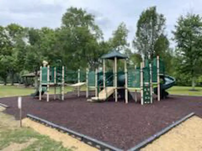
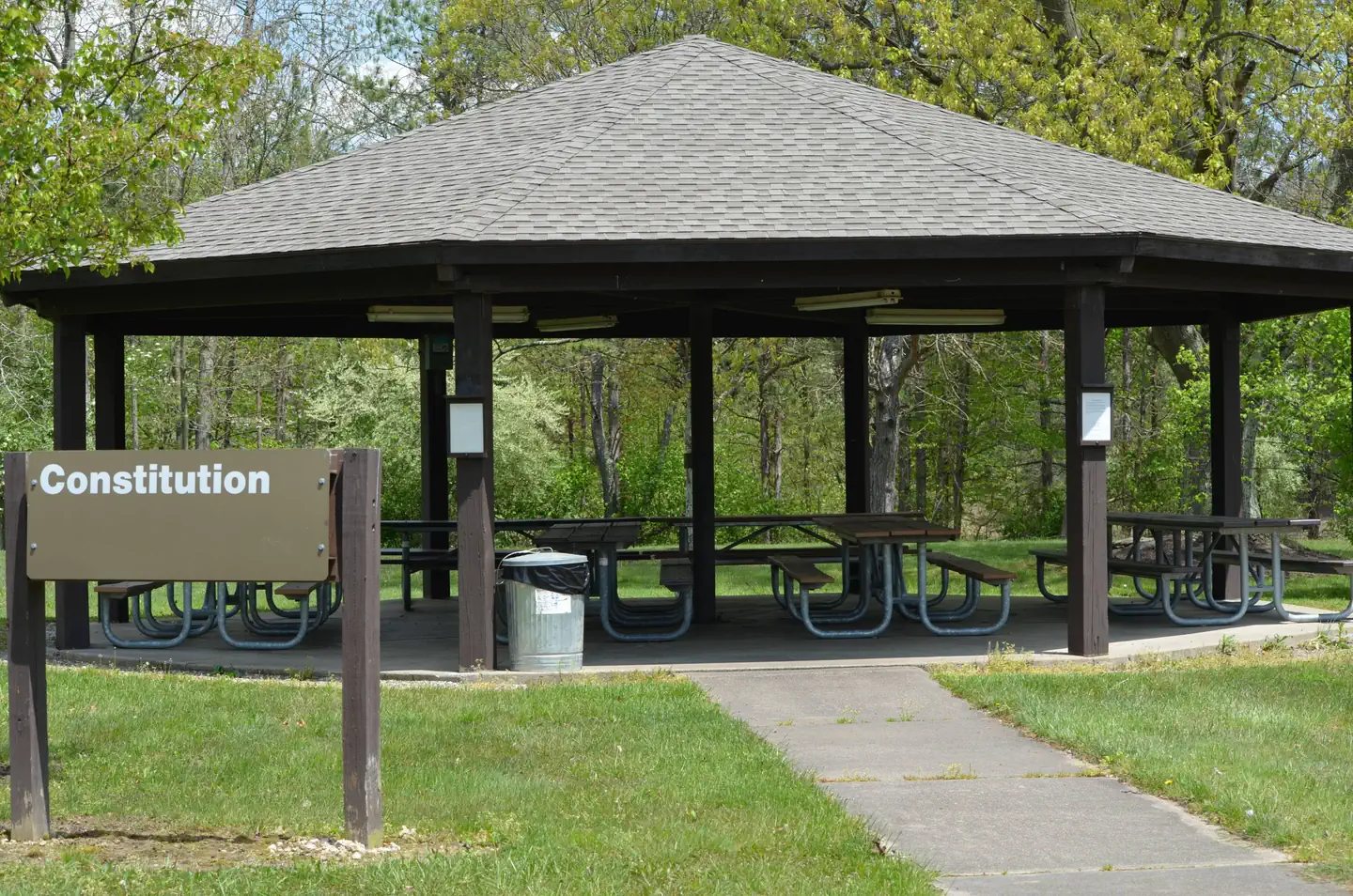
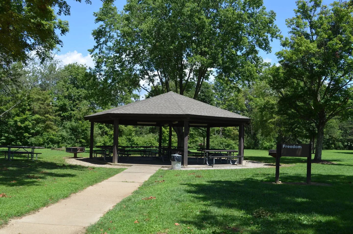
Both Constitution and Freedom Pavilion are located in the Spillway Recreation Area. The Spillway Recreation area features a playground (closest to Constitution) two volleyball courts, horseshoe pits, a basketball court and a ball field. Between the pavilions is a restroom facility with flush toilets and running water.Natural Features
Nestled among the rolling hills of western Pennsylvania, Crooked Creek Lake is an ideal setting for year round outdoor activities. Located only 30 miles northeast of Pittsburgh, the U.S. Army Corps of Engineers invites you to discover the scenic beauty of the lake and surrounding countryside at the Crooked Creek project.Nearby Attractions
The long distance hiker will enjoy the 141-mile Baker Trail which crosses Crooked Creek Lake on its course through western Pennsylvania. The Crooked Creek Environmental Learning Center is operated by the Armstrong Center for Community Learning. It is used by groups and agencies interested in environmental stewardship and offers a variety of educational programs. To learn more, please visit: www.armstrongcenter.org/environmental-learning-center/The facts
- 4 bookable sites
- 4 sites for day use only
- 4 accessible sites
- Up to 100 people per site
- Loops: Damsite and Spillway Recreation Area
Site types
- 4 Group Shelter Electric
Amenities
- Electric hookups
- Picnic tables
- Grills
- Pets allowed
Not recorded upstream: water hookups, sewer hookups, campfires allowed, fire pits, shade.
4 campsites at Damsite and Spillway Recreation Area
| Site | Loop | Type | Entry | Surface | Max rig | People | |
|---|---|---|---|---|---|---|---|
| Constitution AM | Damsite and Spillway Recreation Area | Group Shelter Electric | — | Paved | — | 100 | ♿ 🐾 |
| Constitution PM | Damsite and Spillway Recreation Area | Group Shelter Electric | — | Paved | — | 100 | ♿ 🐾 |
| Freedom AM | Damsite and Spillway Recreation Area | Group Shelter Electric | — | Paved | — | 100 | ♿ 🐾 |
| Freedom PM | Damsite and Spillway Recreation Area | Group Shelter Electric | — | Paved | — | 100 | ♿ 🐾 |
Getting there
Address: 114 Park Main Rd., Ford City, PA 16226
From Pittsburgh: Head northeast on Grant St toward Sixth Avenue. Turn right onto Seventh Ave. Use the left lane to keep right at the fork, follow signs for PA-380 E/Bigelow Boulevard/Interstate 579 N and merge onto Bigelow Blvd. Take the ramp onto I-579N/Veterans Bridge. Follow PA-28 N to PA-66 S in Manor Township. Take exit A from PA-28N/US-422 E. Continue on PA-66 S. Turn left onto Crooked Creek Dam Rd.
From Pittsburgh: Head northeast on Grant St toward Sixth Avenue. Turn right onto Seventh Ave. Use the left lane to keep right at the fork, follow signs for PA-380 E/Bigelow Boulevard/Interstate 579 N and merge onto Bigelow Blvd. Take the ramp onto I-579N/Veterans Bridge. Follow PA-28 N to PA-66 S in Manor Township. Take exit A from PA-28N/US-422 E. Continue on PA-66 S. Turn left onto Crooked Creek Dam Rd.
40.71574, -79.50548 · 40°42'56.7"N 79°30'19.7"W
Typical weather
Typically 84°F in Jul, down to 36°F in Jan.
| Jan | Feb | Mar | Apr | May | Jun | Jul | Aug | Sep | Oct | Nov | Dec | |
|---|---|---|---|---|---|---|---|---|---|---|---|---|
| High °F | 36 | 39 | 48 | 62 | 72 | 80 | 84 | 83 | 76 | 64 | 51 | 40 |
| Low °F | 17 | 18 | 26 | 35 | 46 | 55 | 59 | 58 | 51 | 39 | 30 | 23 |
| Precip in | 3.2 | 2.6 | 3.3 | 3.7 | 4.0 | 4.7 | 4.5 | 4.2 | 4.2 | 3.3 | 3.3 | 3.4 |
1991–2020 averages from the nearest NOAA station, 0.4 mi away — not measured at the facility itself, and elevation can make a real difference over that distance.
Map
More photos
Member photos
Common questions about Damsite and Spillway Recreation Area
- Can you reserve a site at Damsite and Spillway Recreation Area?
- Yes, Damsite and Spillway Recreation Area is reservable through Recreation.gov.
- How many campsites does Damsite and Spillway Recreation Area have?
- 4 sites.
- Are pets allowed at Damsite and Spillway Recreation Area?
- Yes, pets are allowed at Damsite and Spillway Recreation Area.
- Does Damsite and Spillway Recreation Area have hookups?
- Electric.
Camping near Damsite and Spillway Recreation Area
- Crooked Creek Lake 0.5 mi · Campground · we watch it
- Crooked Creek Lake Pavilions 0.6 mi · Campground · we watch it
- Hancock Bend Boat Launch and Recreation Area 0.9 mi · Campground · we watch it
- Loyalhanna Lake Pavilions 17.9 mi · Campground · we watch it
- Conemaugh Lake Pavilions 18.7 mi · Campground · we watch it
- Bush Recreation Area 19.5 mi · Campground · we watch it
- Loleta Recreation 52.2 mi · Campground · we watch it
- Outflow Recreation Area (Pa) 52.9 mi · Campground · we watch it
- Tionesta Rec. Area Campground 53.2 mi · Campground · we watch it
- Omni William Penn Hotel, Pittsburgh 32 mi · Facility
- Johnstown Flood National Memorial Visitor Center 46.1 mi · Facility
- Clarion River Campsites 50.5 mi · Campground
Contact
- Phone 724-763-3161
- Book Recreation.gov
Recreation.gov last updated this record on 2026-03-11.
Facility information and photographs from Recreation.gov (RIDB). SpotOpened is not affiliated with Recreation.gov or any federal agency.
Comments