Loleta Recreation
Campground · Pennsylvania · 40 bookable sites ·
Managed by the USDA Forest Service
Allegheny National Forest (NF) · Open Access
- 40
- Bookable sites
- 95 ft
- Max rig length
- up to 50
- People per site
- 16
- Accessible sites
- 1,370 ft
- Elevation
Overview
Loleta Recreation Campground sits along the east branch of Millstone Creek in the southwestern corner of the Allegheny National Forest, offering a peaceful getaway that is popular with families.Recreation
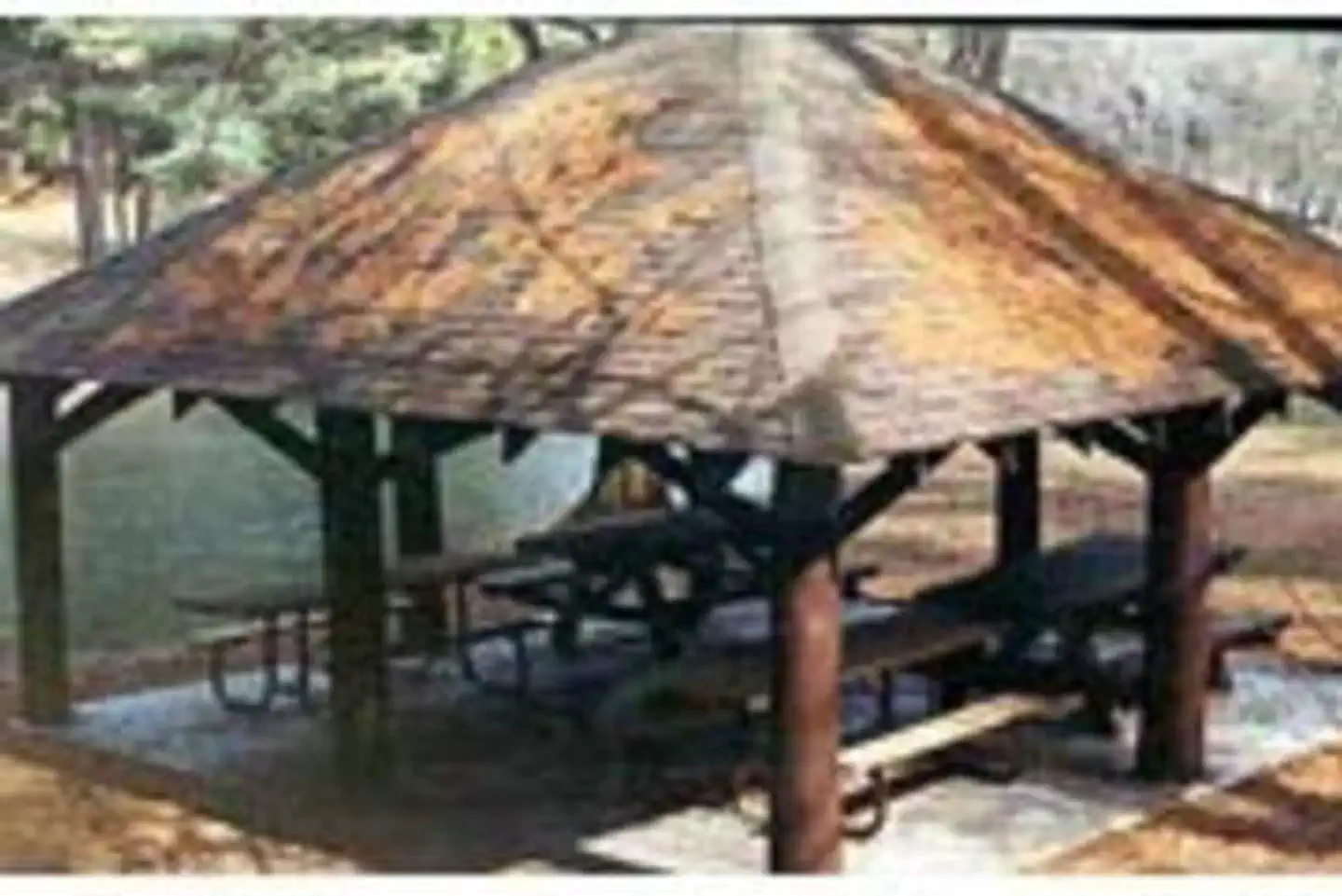
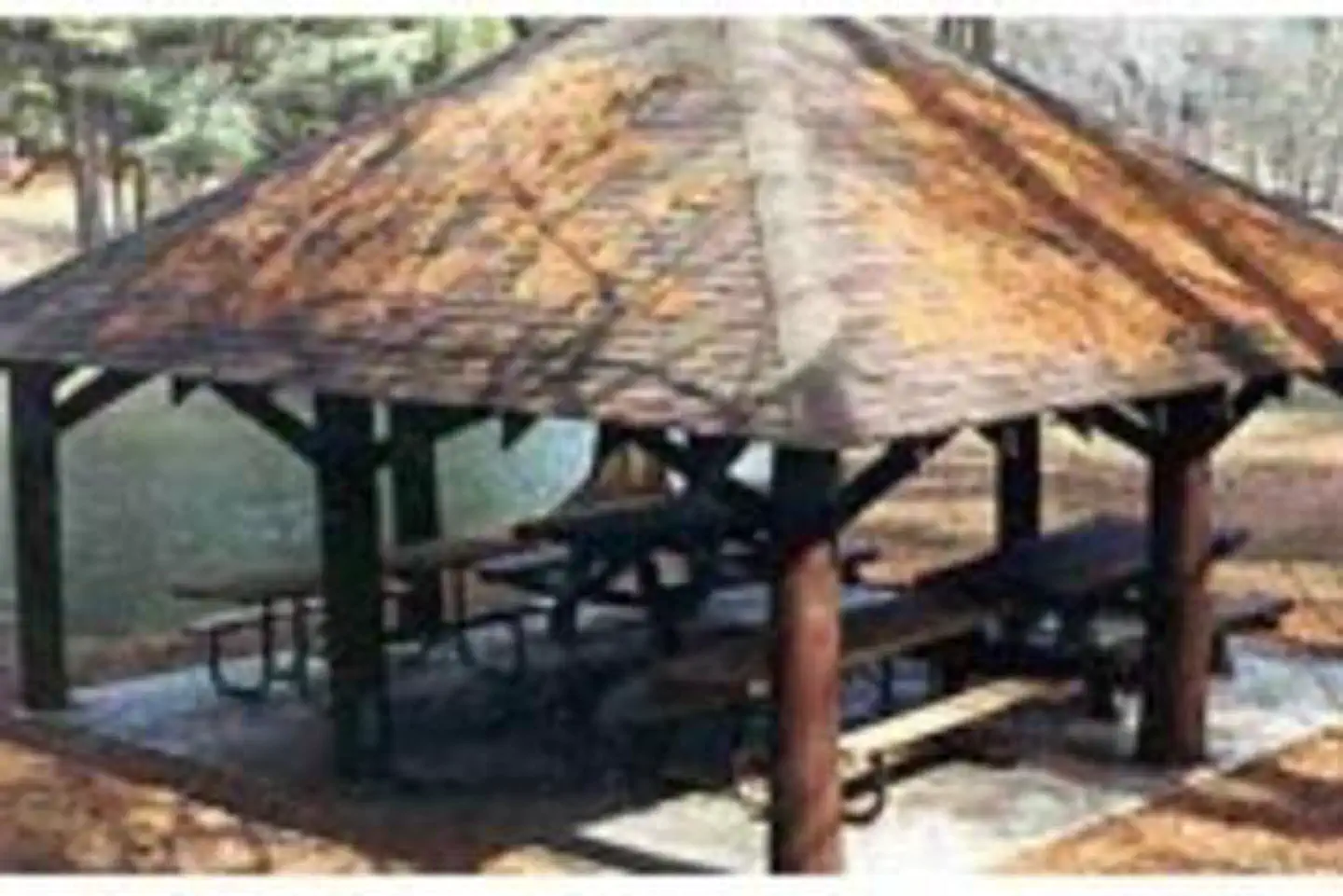
Camping is available in both the primitive upper loop and the more developed lower loop. The Day Use area with picnic tables and grills centers around a Civilian Conservation Corps dam across Millstone Creek, which creates a small swimming/wading area. Fishing the stream is permitted with a legal PA fishing license, but the swimming area is off-limits between Memorial Day and Labor Day. There is a 3-mile hiking trail that starts and ends at the campground, passing a rock outcrop on the edge of the Millstone Valley at its furthest point from the campground.Facilities
The lower loop of the campground has spacious campsites that are surrounded by mature trees. The upper loop sites are smaller and tucked into the forest for a more intimate feeling with nature. Each campsite has a parking spur, fire ring, and picnic table. Vault toilets and drinking water are provided in the camping loops while the Day Use area supports the bathhouse with flush toilets, hot showers, and changing rooms.
Natural Features
Loleta is a small opening in the forested hillsides around Millstone Creek. Native tree species in the area include red oak, white pine, black cherry, red and sugar maples, and a variety of others. Millstone Creek is a cold water fishery with a thriving population of native brook trout, and it is also priodically stocked by the Pennsylvania FIsh and Game Commission. Wildlife in the area include whitetail deer, black bear, turkey, raccoon, oppossum, fox, and smaller mammals, birds, and reptiles.Contact Info
For facility specific information, please call (814) 363-9090.Nearby Attractions
The Buzzard Swamp Hiking Trails, a 9.6-mile network of trails that wind through an area of 15 man-made ponds, make for an enjoyable day trip just north of Loleta, while driving down a dirt road extending south of the campground leads to the beautiful Clarion National Wild and Scenic River. The paved road along the river is popular for bike riding, and the river offers access for canoes, kayaks, and tubes as well as fishing opportunities and large boulders for picnicking or just watching the water roll by. Cook Forest State Park is an easy drive for hiking, marveling at the grove of Old Growth Hemlocks, or climbing an old fire tower for a view of the river.Charges & Cancellations
Cancellations and changes must be made through Recreation.gov
The facts
- Season: 4/01 – 10/10 — USDA Forest Service, Aug 24, 2026
- 40 bookable sites
- 42 sites in total, including non-bookable
- 16 accessible sites
- Vehicles up to 95 ft
- Up to 50 people per site
- Loops: LOLE, MILL, S&P, SUGA, UPPR
Site types
- 20 Standard Electric
- 11 Tent Only Nonelectric
- 7 Standard Nonelectric
- 2 Group Standard Nonelectric
- 2 Management
Amenities
- Electric hookups
- Campfires allowed
- Fire pits
- Picnic tables
- Shade
- Pets allowed
Not recorded upstream: water hookups, sewer hookups, grills.
42 campsites at Loleta Recreation
| Site | Loop | Type | Entry | Surface | Max rig | People | |
|---|---|---|---|---|---|---|---|
| 019 | LOLE | Standard Electric | Back In | Gravel | 68 ft | 8 | ♿ 🐾 |
| 020 | LOLE | Standard Electric | Back In | Gravel | 55 ft | 8 | 🐾 |
| 021 | LOLE | Standard Electric | Back In | Gravel | 90 ft | 8 | 🐾 |
| 022 | LOLE | Standard Electric | Back In | Gravel | 55 ft | 8 | 🐾 |
| 023 | LOLE | Standard Electric | Back In | Gravel | 66 ft | 8 | ♿ 🐾 |
| 024 | LOLE | Standard Electric | Back In | Gravel | 57 ft | 8 | 🐾 |
| 025 | LOLE | Standard Electric | Back In | Gravel | 57 ft | 8 | 🐾 |
| 026 | LOLE | Standard Electric | Back In | Gravel | 57 ft | 8 | 🐾 |
| 027 | LOLE | Standard Electric | Back In | Gravel | 57 ft | 8 | ♿ 🐾 |
| 028 | LOLE | Standard Electric | Back In | Gravel | 83 ft | 8 | ♿ 🐾 |
| 029 | LOLE | Standard Electric | Back In | Gravel | 54 ft | 8 | ♿ 🐾 |
| 030 | LOLE | Standard Electric | Back In | Gravel | 61 ft | 8 | 🐾 |
| 031 | LOLE | Standard Electric | Back In | Gravel | 59 ft | 8 | ♿ 🐾 |
| 032 | LOLE | Standard Electric | Back In | Gravel | 60 ft | 8 | ♿ 🐾 |
| 033 | LOLE | Standard Electric | Back In | Gravel | 77 ft | 8 | 🐾 |
| 034 | LOLE | Standard Electric | Back In | Gravel | 58 ft | 8 | ♿ 🐾 |
| 035 | LOLE | Standard Electric | Back In | Gravel | 85 ft | 8 | ♿ 🐾 |
| 036 | LOLE | Standard Electric | Back In | Gravel | 50 ft | 8 | ♿ 🐾 |
| 037 | LOLE | Standard Electric | Back In | Gravel | 57 ft | 8 | ♿ 🐾 |
| 038 | LOLE | Standard Electric | Back In | Gravel | 55 ft | 8 | ♿ 🐾 |
| 1 | MILL | Group Standard Nonelectric | Pull Through | Gravel | 30 ft | 50 | ♿ |
| S&P Standard Electric | S&P | Management | Pull Through | — | — | 0 | |
| S&P Standard Nonelectric | S&P | Management | Pull Through | — | — | 0 | |
| 2 | SUGA | Group Standard Nonelectric | Pull Through | Gravel | 30 ft | 50 | |
| 001 | UPPR | Tent Only Nonelectric | — | Gravel | — | 8 | 🐾 |
| 002 | UPPR | Tent Only Nonelectric | — | Gravel | — | 8 | |
| 003 | UPPR | Standard Nonelectric | Back In | Gravel | 20 ft | 8 | |
| 004 | UPPR | Tent Only Nonelectric | — | Gravel | — | 8 | |
| 005 | UPPR | Standard Nonelectric | Back In | Gravel | 20 ft | 8 | 🐾 |
| 006 | UPPR | Standard Nonelectric | Back In | Gravel | 20 ft | 8 | 🐾 |
| 007 | UPPR | Standard Nonelectric | Back In | Gravel | 20 ft | 8 | 🐾 |
| 008 | UPPR | Tent Only Nonelectric | Back In | Gravel | — | 8 | ♿ 🐾 |
| 009 | UPPR | Standard Nonelectric | Back In | Gravel | 20 ft | 8 | ♿ 🐾 |
| 010 | UPPR | Tent Only Nonelectric | — | Gravel | — | 8 | 🐾 |
| 011 | UPPR | Tent Only Nonelectric | — | Gravel | — | 8 | 🐾 |
| 012 | UPPR | Tent Only Nonelectric | — | Gravel | — | 8 | ♿ 🐾 |
| 013 | UPPR | Standard Nonelectric | Back In | Gravel | 52 ft | 8 | 🐾 |
| 014 | UPPR | Standard Nonelectric | Back In | Gravel | 95 ft | 8 | 🐾 |
| 015 | UPPR | Tent Only Nonelectric | — | Gravel | — | 8 | 🐾 |
| 016 | UPPR | Tent Only Nonelectric | — | Gravel | — | 8 | 🐾 |
| 017 | UPPR | Tent Only Nonelectric | — | Gravel | — | 8 | 🐾 |
| 018 | UPPR | Tent Only Nonelectric | — | Gravel | — | 8 | 🐾 |
Getting there
41.40167, -79.08333 · 41°24'6.0"N 79°4'60.0"W
Typical weather
Typically 80°F in Jul, down to 31°F in Jan.
| Jan | Feb | Mar | Apr | May | Jun | Jul | Aug | Sep | Oct | Nov | Dec | |
|---|---|---|---|---|---|---|---|---|---|---|---|---|
| High °F | 31 | 35 | 44 | 59 | 69 | 76 | 80 | 79 | 72 | 60 | 48 | 37 |
| Low °F | 13 | 14 | 21 | 31 | 42 | 52 | 55 | 54 | 47 | 37 | 28 | 20 |
| Precip in | 3.4 | 2.7 | 3.4 | 4.1 | 4.1 | 4.9 | 4.8 | 4.1 | 4.2 | 3.7 | 3.6 | 3.6 |
1991–2020 averages from the nearest NOAA station, 7.6 mi away — not measured at the facility itself, and elevation can make a real difference over that distance.
Map
More photos

Member photos
Common questions about Loleta Recreation
- Can you reserve a site at Loleta Recreation?
- Yes, Loleta Recreation is reservable through Recreation.gov.
- How many campsites does Loleta Recreation have?
- 42 sites in total, of which 40 can be booked.
- What is the maximum RV length at Loleta Recreation?
- 95 ft. That is the longest vehicle the sites here are recorded as taking; individual sites may be shorter.
- Are pets allowed at Loleta Recreation?
- Yes, pets are allowed at Loleta Recreation.
- Does Loleta Recreation have hookups?
- Electric.
- Are campfires allowed at Loleta Recreation?
- Campfires are allowed at Loleta Recreation. Check for a current fire restriction before you go.
Also listed by
Loleta Recreation also appears in other federal recreation data. Facts below are matched by name and location, not confirmed by Loleta Recreation's operator.
USDA Forest Service — data as of Aug 24, 2026
- Daily camping fee - $15.00 to $25.00/site
- Daily group site camping fee - $80.00
- Daily swimming fee - $5.00/vehicle and $1.00/per person
Restrictions:
- Loleta Recreation Area
Camping near Loleta Recreation
- Kelly Pines Campground 6.9 mi · Campground · we watch it
- Kellettville Recreation Area (Pa) 13.3 mi · Campground · we watch it
- Minister Creek Campground and Trailhead 15.6 mi · Campground · we watch it
- Outflow Recreation Area (Pa) 19.4 mi · Campground · we watch it
- Tionesta Rec. Area Campground 19.8 mi · Campground · we watch it
- Farnsworth Cabin 21.7 mi · Campground · we watch it
- Twin Lakes (Pa) 22.1 mi · Campground · we watch it
- Hearts Content Recreation Area 22.2 mi · Campground · we watch it
- East Branch Campground 27.4 mi · Campground · we watch it
- Red Bridge (Pa) 27.9 mi · Campground · we watch it
- Kiasutha 28.1 mi · Campground · we watch it
- Clarion River Campsites 3.4 mi · Campground
Contact
- Phone 814-927-6628
- Email asmklondike1@gmail.com
- Book Recreation.gov
Recreation.gov last updated this record on 2026-02-25.
Facility information and photographs from Recreation.gov (RIDB). SpotOpened is not affiliated with Recreation.gov or any federal agency.
Comments