Wood River Wetland
Facility · Oregon ·
Managed by the Bureau of Land Management
Lakeview Klamath Falls Field Office (Bureau of Land Management OR) · Open Access
- 4,154 ft
- Elevation
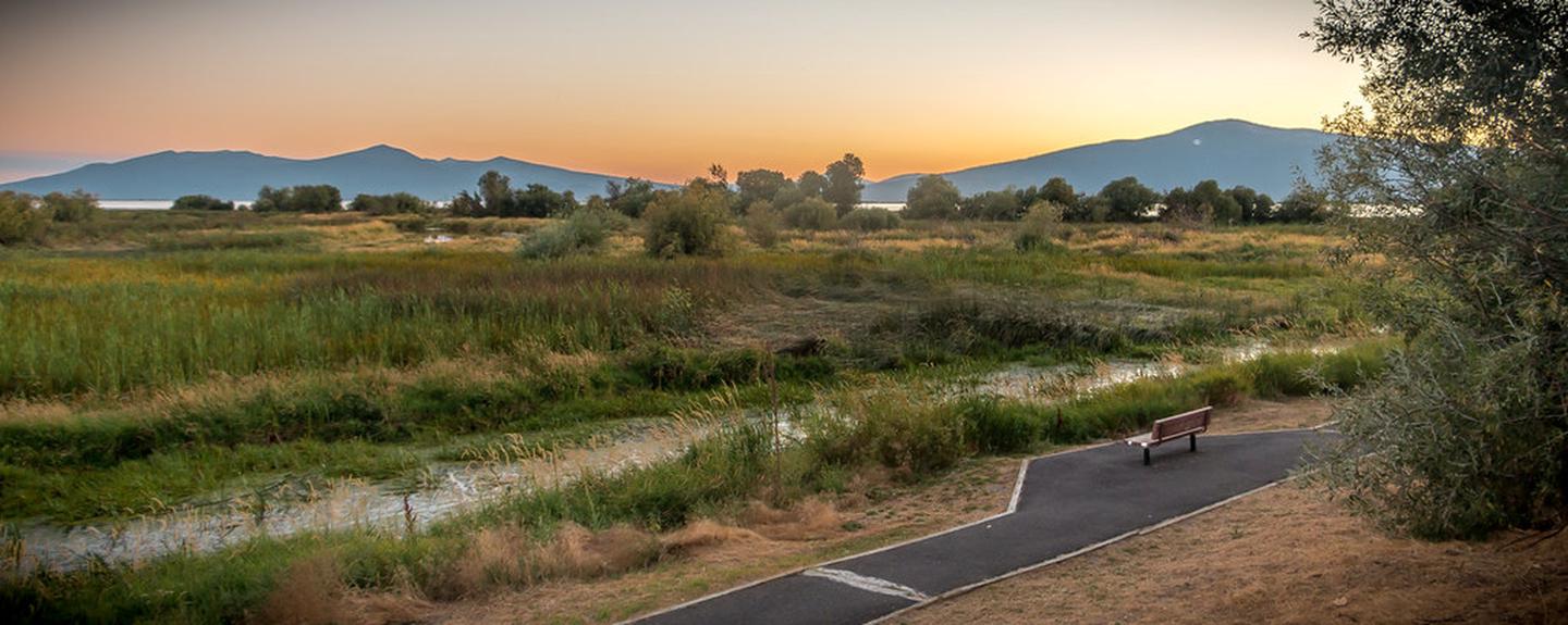
Immerse yourself in the sounds of migratory birds and waterfowl in the Wood River Wetland on the north side of Agency Lake. A 0.7-mile non-motorized accessible trail borders a native pollinator garden and leads to expansive views of surrounding mountains, waterfowl viewing, and some of the best trout fishing in the Klamath Basin.
Know Before You Go:
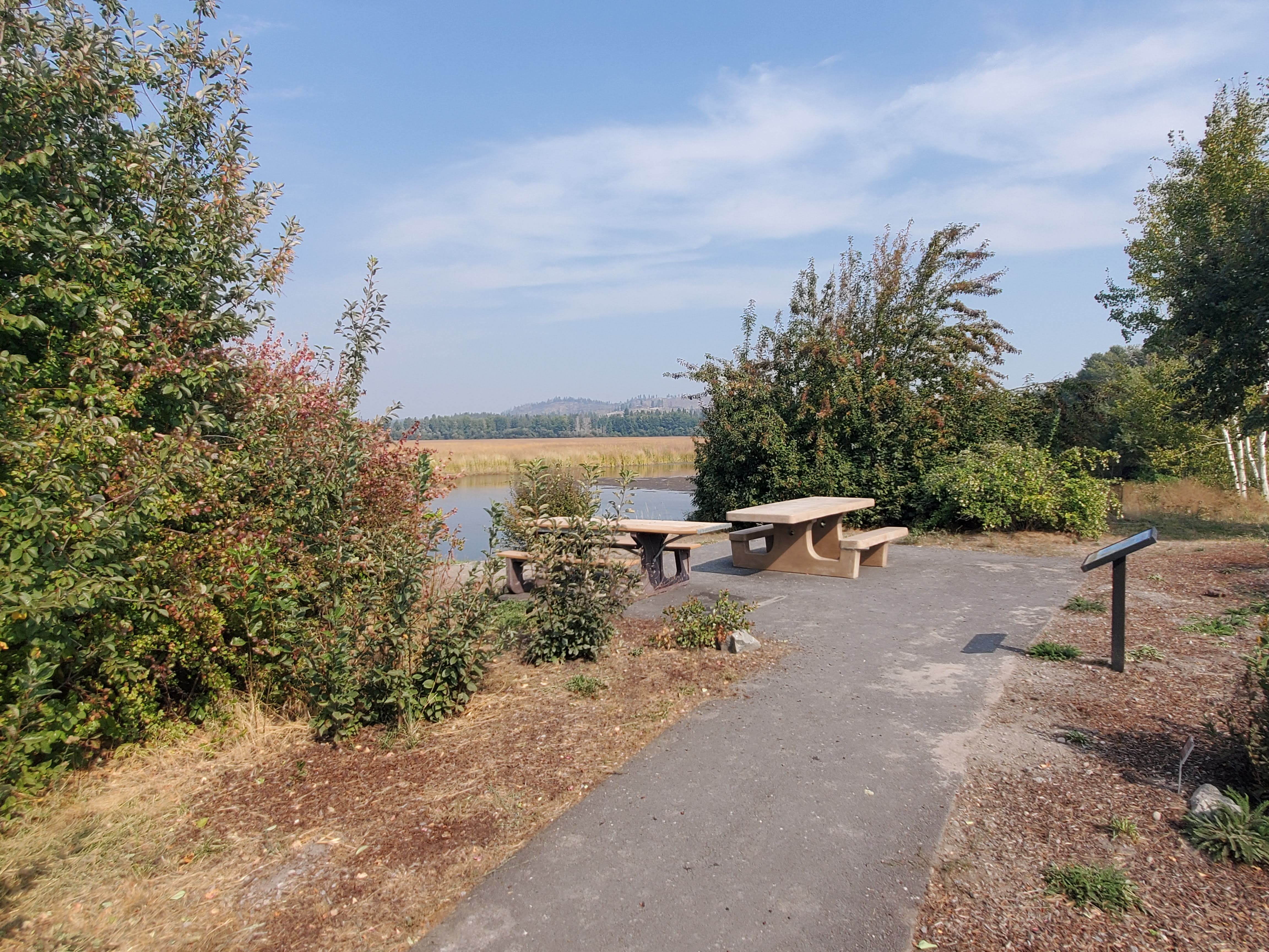
- Facilities include paved parking, a trail, a canoe launch, picnic areas and benches, toilets, and interpretive signs.
- There is no drinking water.
- Pets must be controlled on a leash.
- The Wood River Wetland is open year-round for day use only.
- Camping is available at nearby resorts, and on the Fremont-Winema National Forests.
- Please note, the trails and roads are open to non-motorized travel only. Motorized access passes for individuals with mobility impairments are available at the local Bureau of Land Management office in Klamath Falls for individuals with physical disabilities.
- Waterfowl hunters should be aware that the Wood River Wetland is open daily two hours before sunrise and until a half hour after sunset. No pit blinds or permanent structures are allowed and no decoys or other equipment can be left unattended.
Point of Interest:
The 3,200-acre wetland is part of the historic delta of the Wood River adjacent to Agency Lake, and it includes three miles of public access to the river banks of the Wood River itself. Since acquiring the property in 1994, the Bureau of Land Management has focused primarily on wetland and river channel restoration. Water in the 3,200-acre wetland is manipulated to enhance the habitat for wetland plants and processes, while improving water quality for fish and wildlife in Wood River.
Getting there
Wood River Wetland is located about 30 miles north of Klamath Falls, Oregon. Travel north on Highway 97 for 14 miles. Turn left onto Modoc Point Road and travel north about 12 miles to the signed entrance to the Wood River Wetland.
42.58111, -121.93127 · 42°34'52.0"N 121°55'52.6"W
Typical weather
Typically 85°F in Jul, down to 39°F in Dec.
| Jan | Feb | Mar | Apr | May | Jun | Jul | Aug | Sep | Oct | Nov | Dec | |
|---|---|---|---|---|---|---|---|---|---|---|---|---|
| High °F | 39 | 44 | 50 | 57 | 66 | 75 | 85 | 84 | 78 | 64 | 48 | 39 |
| Low °F | 19 | 22 | 25 | 28 | 33 | 37 | 42 | 41 | 34 | 28 | 24 | 19 |
| Precip in | 3.8 | 2.3 | 1.9 | 1.4 | 1.5 | 0.6 | 0.2 | 0.3 | 0.5 | 1.4 | 2.8 | 4.4 |
1991–2020 averages from the nearest NOAA station, 9.1 mi away — not measured at the facility itself, and elevation can make a real difference over that distance.
Map
Fees and stay limits
No fees.
Stay limit: Day use only.
From Recreation.gov, which is not always current. The operator's own page is the authority on what you will be charged.
More photos
Member photos
Common questions about Wood River Wetland
- Can you reserve a site at Wood River Wetland?
- No. Wood River Wetland is not reservable through Recreation.gov, so sites are first-come, first-served or booked elsewhere.
- How long can you stay at Wood River Wetland?
- Day use only.
Camping near Wood River Wetland
- Fourmile Lake Campground 18 mi · Campground · we watch it
- Aspen Point (Lake of the Woods, OR) 19.7 mi · Campground · we watch it
- Sunset - Lake of the Woods (OR) 19.8 mi · Campground · we watch it
- Rainbow Bay 19.9 mi · Campground · we watch it
- Williamson River Campground 6.6 mi · Campground
- Rocky Point Resort 10.7 mi · Facility
- Odessa Picnic Site 12.4 mi · Campground
- Pelican Guard Station Day Use Area 13.2 mi · Facility
- Sunset Campground @ Lake of the Woods 20.3 mi · Campground
- South Fork Campground 21.1 mi · Campground
- Scott Creek Campground 21.2 mi · Campground
- Lost Creek Campground 21.3 mi · Campground
Contact
- Phone 541-883-6916
- Email BLM_OR_KF_MAIL@blm.gov
- Info Recreation.gov
Recreation.gov last updated this record on 2026-04-03.
Facility information and photographs from Recreation.gov (RIDB). SpotOpened is not affiliated with Recreation.gov or any federal agency.
Comments