Silver Creek Boat Landing
Facility · Oregon ·
Managed by the Bureau of Land Management
Nw Oregon Upper Willamette Field Office (Bureau of Land Management OR) · Open Access
- 909 ft
- Elevation
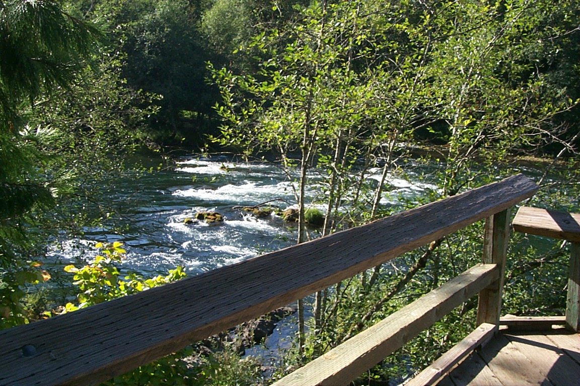
Returning visitors to the Silver Creek Boat Landing along the McKenzie River will see number of changes due to the effects of the wildfires of 2020. The concrete boat ramp is open for use but the Watchable Wildlife site, interpretive panels and footbridge crossing Silver Creek are no longer present. Areas outside of the paved parking lot have not been repaired. The site has been brought into minimal safe condition to support use as a boat launch, its primary purpose.
Getting there
Silver Creek Landing is located on the McKenzie River east of Springfield between Hendricks Bridge and Finn Rock on Highway 126. The Silver Creek Boat Landing is located on the right side of Highway 126, eight tenths of a mile east of mile marker 33.
44.11639, -122.44268 · 44°6'59.0"N 122°26'33.6"W
Typical weather
Typically 89°F in Aug, down to 48°F in Dec.
| Jan | Feb | Mar | Apr | May | Jun | Jul | Aug | Sep | Oct | Nov | Dec | |
|---|---|---|---|---|---|---|---|---|---|---|---|---|
| High °F | 49 | 53 | 58 | 64 | 74 | 79 | 89 | 89 | 82 | 68 | 55 | 48 |
| Low °F | 39 | 39 | 41 | 45 | 50 | 55 | 59 | 58 | 54 | 48 | 43 | 39 |
| Precip in | 13.0 | 7.5 | 9.8 | 8.2 | 4.3 | 2.7 | 0.7 | 0.6 | 1.9 | 5.8 | 11.0 | 12.1 |
1991–2020 averages from the nearest NOAA station, 10 mi away — not measured at the facility itself, and elevation can make a real difference over that distance.
Map
Fees and stay limits
No fees.
From Recreation.gov, which is not always current. The operator's own page is the authority on what you will be charged.
Member photos
Common questions about Silver Creek Boat Landing
- Can you reserve a site at Silver Creek Boat Landing?
- No. Silver Creek Boat Landing is not reservable through Recreation.gov, so sites are first-come, first-served or booked elsewhere.
Camping near Silver Creek Boat Landing
- Delta 8.6 mi · Campground · we watch it
- Puma 10.4 mi · Campground · we watch it
- Mona 10.7 mi · Campground · we watch it
- Lookout Campground and Boat Launch - Willamette 11 mi · Campground · we watch it
- Bedrock Campground 11.1 mi · Campground · we watch it
- Slide Creek 11.2 mi · Campground · we watch it
- Sunnyside Campground 11.7 mi · Campground · we watch it
- Cougar Crossing Campground 11.8 mi · Campground · we watch it
- Little Cowhorn Mountain Lookout 6.2 mi · Facility
- Terwilliger (Cougar) Hot Springs 10.6 mi · Facility
- Lookout Campground 10.8 mi · Campground
- Cougar Crossing Campground 11.8 mi · Campground
Contact
- Phone 541-683-6600
- Email BLM_OR_NO_Mail@blm.gov
- Info Recreation.gov
Recreation.gov last updated this record on 2026-04-24.
Facility information and photographs from Recreation.gov (RIDB). SpotOpened is not affiliated with Recreation.gov or any federal agency.
Comments