Shotgun Creek Recreation Site
Campground · Oregon · 2 bookable sites ·
Managed by the Bureau of Land Management
Nw Oregon Upper Willamette Field Office (Bureau of Land Management OR) · Open Access
- 2
- Bookable sites
- 20 ft
- Max rig length
- up to 300
- People per site
- 2
- Accessible sites
- 695 ft
- Elevation
Overview
The refreshing location with its lush, forest setting, coupled with comforts normally associated with an urban park, blend seamlessly at this popular day-use site. Here, one can immerse in the enjoyment of surrounding hiking trails, a swimming area, meandering creeks, and picnicking units. Whether seeking trail solitude, a fun day of water play during the heat of summer, or the lingering memory of that very special celebration, this special place awaits your arrival. Shotgun Creek Recreation Site is open to day use year round. Shelter reservations are available from May 1-September 30 each year.
Recreation
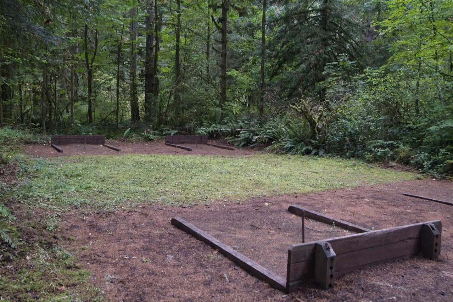
Hiking, picnicking, family gatherings, sand volleyball, softball, playground, horseshoe pits, and seasonal water play.
Facilities
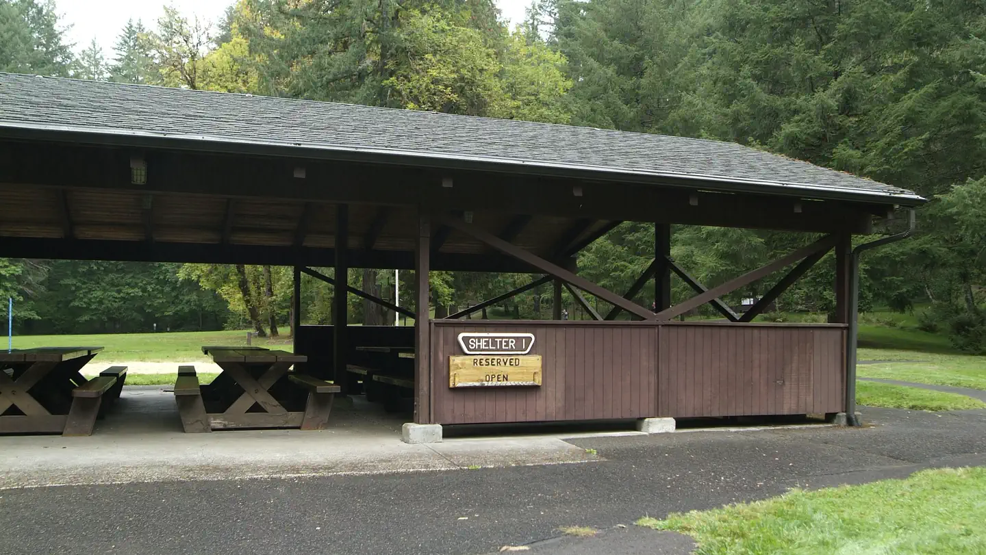
- Reserve one or both large group day-use shelters each equipped with fireplace, lights, sinks, potable water, and picnic tables that will accommodate up to 112 people comfortably for events.
- 23 individual picnic sites
- 6.43 miles of hiking trail
Natural Features
The beautiful, well-equipped wooden shelters, available by reservation, offer a fine place to celebrate special events such as weddings, anniversaries or birthday parties.
Nearby Attractions
- The 34-mile Shotgun OHV Trail System is located immediately north of the recreation site. Nearby staging facilities offer free amenities such as picnic tables, bathrooms, and trash facilities. Elevations from 758 to 2,864. Current fire restrictions: Fire Closures and Restrictions. Public Fire Restriction lev els can be found on Oregon Department of Forestry's website.
- Earnest Bridge south on Marcola Rd about a mile on the left on Paschelke Rd.
- Springfield Golf Club south on Marcola Rd about 9 miles turn left on Sunderman Rd.
- McGowan Environmental Education Area is located along McGowan Creek Road west of Shotgun Creek Rd.
Charges & Cancellations
Standard fees apply and are non-refundable.
Visit https://www.recreation.gov/rules-reservation-policies for more information.
The facts
- 2 bookable sites
- 2 sites for day use only
- 2 accessible sites
- Vehicles up to 20 ft
- Up to 300 people per site
- Loops: Shelter Area
Site types
- 2 Group Standard Electric
Amenities
- Electric hookups
- Campfires allowed
- Picnic tables
- Shade
- Pets allowed
Not recorded upstream: water hookups, sewer hookups, fire pits, grills.
2 campsites at Shotgun Creek Recreation Site
Check-in 09:00 AM · Check-out 09:00 PM
| Site | Loop | Type | Entry | Surface | Access | Max rig | People | |
|---|---|---|---|---|---|---|---|---|
| Shelter 1 | Shelter Area | Group Standard Electric | — | Paved | Hike In | 20 ft | 300 | ♿ 🐾 |
| Shelter 2 | Shelter Area | Group Standard Electric | — | Paved | Hike In | 20 ft | 300 | ♿ 🐾 |
Getting there
From the North
- Take Interstate 5 south, exit 216, OR-228 towards Brownsville/Crawfordsville. Turn right on Bush Creek Road just east of Crawfordsville. Drive 12.4 miles on Bush Creek Road that turns into Marcola Road. Turn right just past the community of Mabel onto Shotgun Creek Road. Follow Shotgun Creek Road approximately 1.5 miles. The recreation site is located on the right side of the road.
From the South
- Take Interstate 5 north, exit 194A, OR-126 E towards Springfield. Travel 4 miles east to the 42nd St/Marcola exit and follow the signs to Marcola driving for about 13.3 miles until it intersects the Shotgun Creek Road (first paved road on the left). Follow Shotgun Creek Road approximately 1.5 miles. The recreation site is located on the right side of the road.
44.22875, -122.84639 · 44°13'43.5"N 122°50'47.0"W
Typical weather
| Jan | Feb | Mar | Apr | May | Jun | Jul | Aug | Sep | Oct | Nov | Dec | |
|---|---|---|---|---|---|---|---|---|---|---|---|---|
| High °F | — | — | — | — | — | — | — | — | — | — | — | — |
| Low °F | — | — | — | — | — | — | — | — | — | — | — | — |
| Precip in | 6.7 | 5.5 | 6.0 | 5.2 | 3.4 | 2.0 | 0.5 | 0.5 | 1.8 | 4.7 | 8.5 | 8.4 |
1991–2020 averages from the nearest NOAA station, 5.5 mi away — not measured at the facility itself, and elevation can make a real difference over that distance.
Map
Fees and stay limits
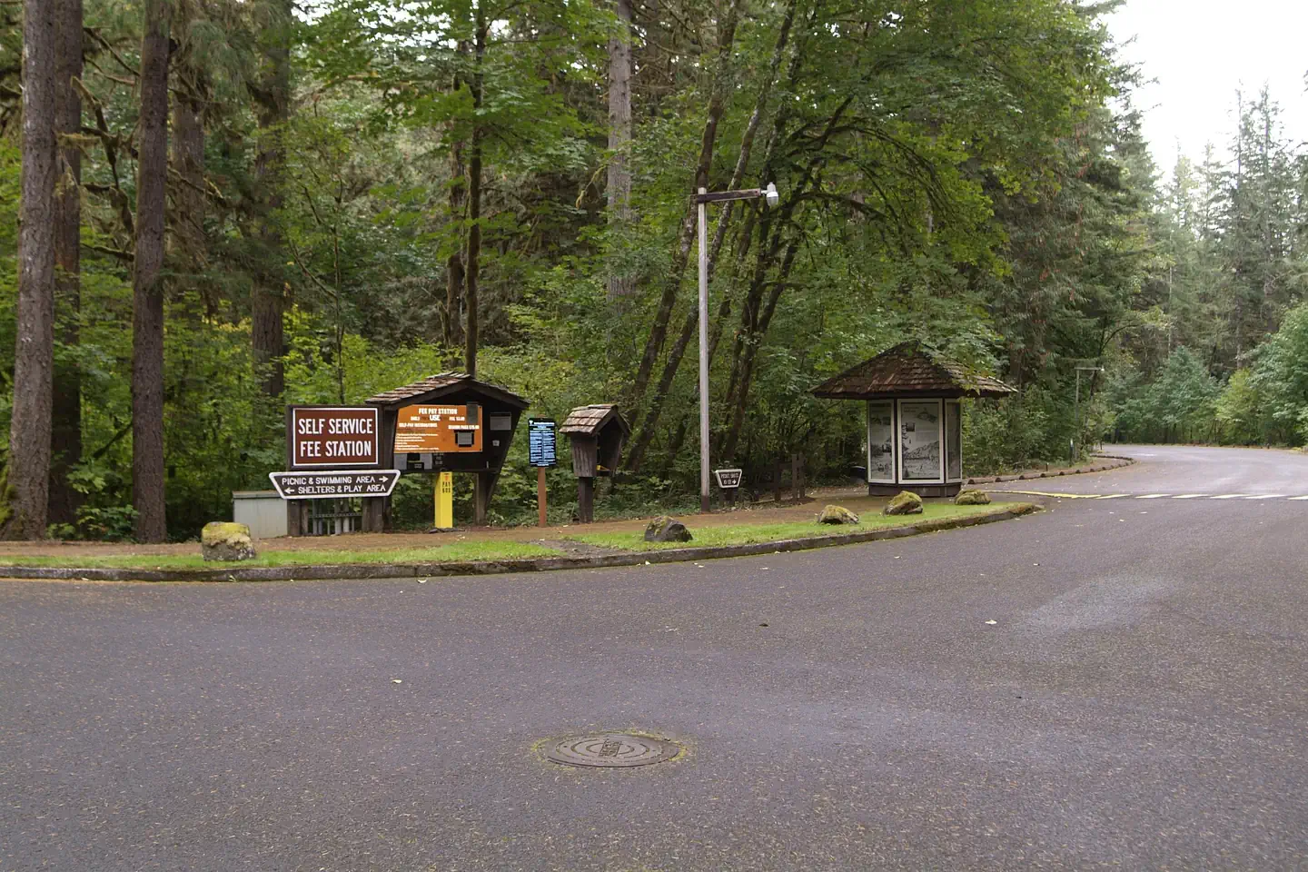
Day use fees and on site shelter rentals are available on site at the electronic fee station near the entrance. A $5 daily vehicle fee is not included with shelter reservations and is collected on site. Cash or check made out to Bureau of Land Management is accepted. Fee envelope receipt stub must be displayed on the dash. Alternatively, you may use the Northwest Oregon Distrtict Annual Day Use Pass, Interagency Passes, and Golden Passes in place of the $5 per vehicle fee. Display those passes on the dash or hang from the rearview mirror.
From Recreation.gov, which is not always current. The operator's own page is the authority on what you will be charged.
More photos
Member photos
Common questions about Shotgun Creek Recreation Site
- Can you reserve a site at Shotgun Creek Recreation Site?
- Yes, Shotgun Creek Recreation Site is reservable through Recreation.gov.
- How many campsites does Shotgun Creek Recreation Site have?
- 2 sites.
- What is the maximum RV length at Shotgun Creek Recreation Site?
- 20 ft. That is the longest vehicle the sites here are recorded as taking; individual sites may be shorter.
- Are pets allowed at Shotgun Creek Recreation Site?
- Yes, pets are allowed at Shotgun Creek Recreation Site.
- Does Shotgun Creek Recreation Site have hookups?
- Electric.
- Are campfires allowed at Shotgun Creek Recreation Site?
- Campfires are allowed at Shotgun Creek Recreation Site. Check for a current fire restriction before you go.
Camping near Shotgun Creek Recreation Site
- Whispering Pines Horse Camp 12.6 mi · Campground · we watch it
- Graham Corral Horse Campground 12.6 mi · Campground · we watch it
- South Twin Lake Campground 12.6 mi · Campground · we watch it
- Sweet Home Nature and Heritage Tours 14.4 mi · Tickets · we watch it
- Dolly Varden 21.6 mi · Campground · we watch it
- Broken Bowl 21.8 mi · Campground · we watch it
- Clark Creek Organization Camp 22 mi · Campground · we watch it
- Sweet Home Ranger District (US Highway 20) 14.4 mi · Facility
- Stewart Pond Disc Golf Course 19.6 mi · Facility
- Silver Creek Boat Landing 21.5 mi · Facility
- Little Cowhorn Mountain Lookout 21.5 mi · Facility
- Big Pool Group Campground 21.8 mi · Campground
Contact
- Phone 541-683-6600
- Email blm_or_no_mail@blm.gov
- Book Recreation.gov
Recreation.gov last updated this record on 2026-03-11.
Facility information and photographs from Recreation.gov (RIDB). SpotOpened is not affiliated with Recreation.gov or any federal agency.
Comments