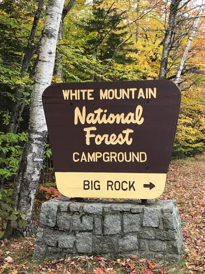
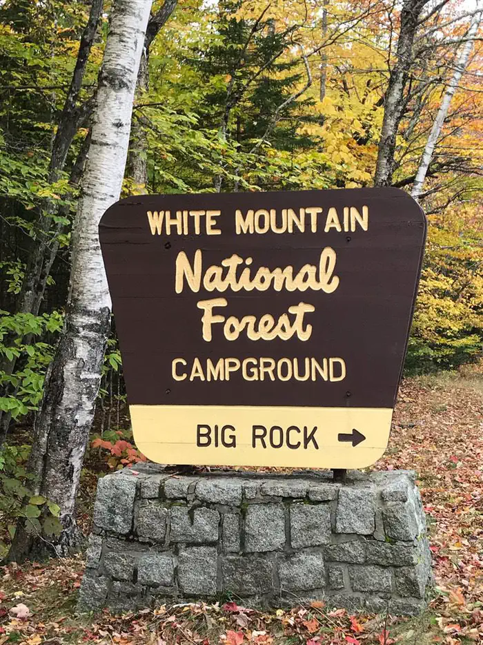
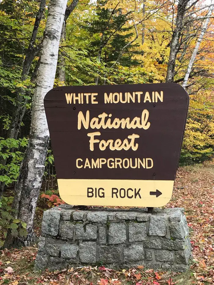
Big Rock
Campground · New Hampshire · 27 bookable sites ·
Managed by the USDA Forest Service
White Mountain National Forest (NF) · Open Access
- 27
- Bookable sites
- 40 ft
- Max rig length
- up to 8
- People per site
- 1,528 ft
- Elevation
Overview
Big Rock Campground has 28 individual wooded sites, each with a picnic table, tent pad and turnout for parking. Eight sites share a common parking area, while most other sites have suitable parking space available for small trailers and motorhomes. Water, electrical and sewage connections are not provided. Campsites are available on a first-come, first serve basis and reservations.
Recreation
A variety of recreational opportunities exsist nearby which include; swimming, fishing, hiking, picnicking, sight-seeing and pleasure driving.
Facilities
Vault toilets.
Natural Features
The name “Big Rock” was dervied from a large prominent rock which is visable shortly after entering the campground. Big Rock campground is a developed recreation area administered by the USDA Forest Service. A fee is charged for the use of this area and is collected through a self-service pay system. The campgrounds are conveniently located near Interstate 93 in the heart of the White Mountain National Forest on the scenic Kancamagus Highway.
Contact Info
For facility specific information, please call (802) 289-0970.Nearby Attractions
1. East Branch Pemigewasset River
2. Upper Lady’s Bath
3. Kancamagus Highway
4. Otter Rocks
5. Greely Ponds Scenic Area
6. Franconia Falls
7. Black Pond
8. The Flume
9. Indian Head
10. The Basin
11. Franconia Notch
12. Cannon Mountain Tram
13. Lost River Road
14. Kinsman Notch
The facts
- Season: mid-May – mid-October — USDA Forest Service, Aug 24, 2026
- 27 bookable sites
- 28 sites in total, including non-bookable
- Vehicles up to 40 ft
- Up to 8 people per site
Site types
- 16 Walk To
- 9 Standard Nonelectric
- 2 Tent Only Nonelectric
- 1 Management
Amenities
- Campfires allowed
- Fire pits
- Picnic tables
- Pets allowed
Not recorded upstream: electric hookups, water hookups, sewer hookups, grills, shade.
28 campsites at Big Rock
Check-in 02:00 PM · Check-out 12:00 PM
| Site | Loop | Type | Entry | Surface | Access | Max rig | People | |
|---|---|---|---|---|---|---|---|---|
| 1 | — | Standard Nonelectric | Back In | Gravel | Drive In | 40 ft | 8 | 🐾 |
| 10 | — | Walk To | — | Gravel | Hike In | — | 8 | 🐾 |
| 11 | — | Standard Nonelectric | Back In | Gravel | Drive In | 40 ft | 8 | 🐾 |
| 12 | — | Walk To | — | Gravel | Hike In | — | 8 | 🐾 |
| 13 | — | Walk To | — | Gravel | Hike In | — | 8 | 🐾 |
| 14 | — | Standard Nonelectric | Back In | Gravel | Drive In | 20 ft | 8 | 🐾 |
| 15 | — | Standard Nonelectric | Back In | Gravel | Drive In | 20 ft | 8 | 🐾 |
| 16 | — | Walk To | — | Gravel | Hike In | — | 8 | 🐾 |
| 17 | — | Walk To | — | Gravel | Hike In | — | 8 | 🐾 |
| 18 | — | Walk To | — | Gravel | Hike In | — | 8 | 🐾 |
| 19 | — | Walk To | — | Gravel | Hike In | — | 8 | 🐾 |
| 2 HOST | — | Management | Back In | Gravel | Drive In | 40 ft | 8 | 🐾 |
| 20 | — | Walk To | — | Gravel | Hike In | — | 8 | 🐾 |
| 21 | — | Tent Only Nonelectric | — | Gravel | Drive In | — | 8 | 🐾 |
| 22 | — | Tent Only Nonelectric | — | Gravel | Hike In | — | 8 | 🐾 |
| 23 | — | Walk To | — | Gravel | Hike In | — | 8 | 🐾 |
| 24 | — | Walk To | — | Gravel | Hike In | — | 8 | 🐾 |
| 25 | — | Walk To | — | Gravel | Hike In | — | 8 | 🐾 |
| 26 | — | Walk To | — | Gravel | Hike In | — | 8 | 🐾 |
| 27 | — | Walk To | — | Gravel | Hike In | — | 8 | 🐾 |
| 28 | — | Walk To | — | Gravel | Hike In | — | 8 | 🐾 |
| 3 | — | Standard Nonelectric | Back In | Gravel | Drive In | 40 ft | 8 | 🐾 |
| 4 | — | Standard Nonelectric | Back In | Gravel | Drive In | 40 ft | 8 | 🐾 |
| 5 | — | Standard Nonelectric | Back In | Gravel | Drive In | 26 ft | 8 | 🐾 |
| 6 | — | Walk To | — | Gravel | Hike In | — | 8 | 🐾 |
| 7 | — | Standard Nonelectric | Back In | Gravel | Drive In | 20 ft | 8 | 🐾 |
| 8 | — | Walk To | — | Gravel | Hike In | — | 8 | 🐾 |
| 9 | — | Standard Nonelectric | Back In | Gravel | Drive In | 20 ft | 8 | 🐾 |
Getting there
The campground is conveniently located off Exit 32 (the scenic Kancamagus Highway) from Interstate 93.
44.04868, -71.56100 · 44°2'55.2"N 71°33'39.6"W
Typical weather
Typically 80°F in Jul, down to 28°F in Jan.
| Jan | Feb | Mar | Apr | May | Jun | Jul | Aug | Sep | Oct | Nov | Dec | |
|---|---|---|---|---|---|---|---|---|---|---|---|---|
| High °F | 28 | 31 | 40 | 54 | 66 | 75 | 80 | 78 | 72 | 58 | 45 | 35 |
| Low °F | 8 | 9 | 19 | 30 | 42 | 52 | 57 | 54 | 47 | 36 | 27 | 16 |
| Precip in | 3.4 | 3.0 | 3.3 | 5.2 | 4.2 | 4.8 | 6.0 | 3.9 | 3.8 | 5.4 | 4.7 | 4.7 |
1991–2020 averages from the nearest NOAA station, 5.6 mi away — not measured at the facility itself, and elevation can make a real difference over that distance.
Map
More photos
Member photos
Common questions about Big Rock
- Can you reserve a site at Big Rock?
- Yes, Big Rock is reservable through Recreation.gov.
- How many campsites does Big Rock have?
- 28 sites in total, of which 27 can be booked.
- What is the maximum RV length at Big Rock?
- 40 ft. That is the longest vehicle the sites here are recorded as taking; individual sites may be shorter.
- Are pets allowed at Big Rock?
- Yes, pets are allowed at Big Rock.
- Are campfires allowed at Big Rock?
- Campfires are allowed at Big Rock. Check for a current fire restriction before you go.
Also listed by
Big Rock also appears in other federal recreation data. Facts below are matched by name and location, not confirmed by Big Rock's operator.
USDA Forest Service — data as of Aug 24, 2026
- Single Family Site Per site / per night $30.00
- Extra Vehicle (Space Permitting) Per vehicle / per night $6.00
Camping near Big Rock
- Hancock Campground (NH) 1.9 mi · Campground · we watch it
- Russell Pond Campground 5.2 mi · Campground · we watch it
- Osceola Vista Campground 5.7 mi · Campground · we watch it
- Waterville Campground 7.8 mi · Campground · we watch it
- Franconia Brook Tentsite 3.7 mi · Facility
- Tripoli Road Camping Area 5.2 mi · Campground
- Liberty Springs Tentsite 6.4 mi · Campground
- Guyot Shelter 7.9 mi · Facility
- Thirteen Falls Tentsite 8.2 mi · Campground
- Sawyer Pond Shelter & Tentsite 9 mi · Campground
- Eliza Brook Shelter 9.7 mi · Campground
- Passaconaway Campground 10.1 mi · Campground
Contact
Recreation.gov last updated this record on 2026-02-25.
Facility information and photographs from Recreation.gov (RIDB). SpotOpened is not affiliated with Recreation.gov or any federal agency.
Comments