Gavins Point Overlook Day Use Shelter
Campground · Nebraska · 1 bookable site ·
Managed by the US Army Corps of Engineers
Lewis And Clark Recreation Area (Recreation Area) · Open Access
- 1
- Bookable site
- 1,302 ft
- Elevation
Overview
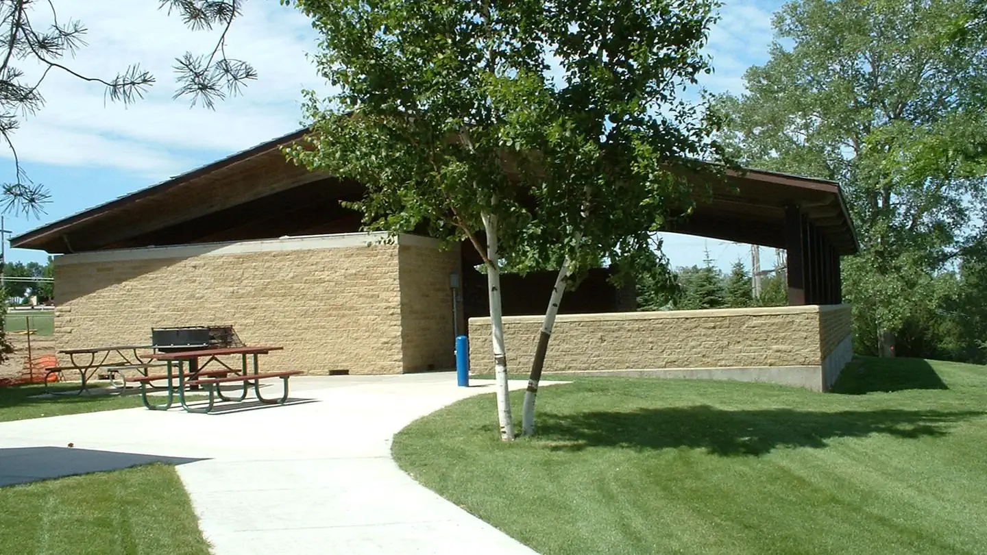
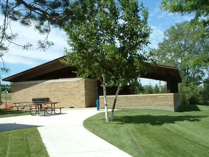
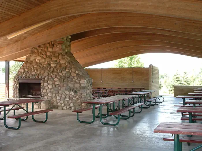
The Gavins Point Overlook Shelter sits on the south side of the Missouri River above Gavins Point Dam.
Recreation
Activities near the shelter include, horseshoe pits, a sand volleyball court, and a playground.
Facilities
There is a water-based restroom adjacent to the shelter.
Contact Info
For facility specific information, please call (402) 667-2546.Nearby Attractions
Nearby attractions include, Gavins Point Dam, Lewis and Clark and historic Yankton, SD.
The facts
- 1 bookable site
- 1 site for day use only
Site types
- 1 Group Shelter Electric
Amenities
- Electric hookups
Not recorded upstream: water hookups, sewer hookups, campfires allowed, fire pits, picnic tables, grills, shade, pets allowed.
1 campsite at Gavins Point Overlook Day Use Shelter
| Site | Loop | Type | Entry | Surface | Max rig | People | |
|---|---|---|---|---|---|---|---|
| Overlook Picnic Shelter | — | Group Shelter Electric | — | — | — | — |
Getting there
Take US Hwy 81 south of Yankton, SD. Go 4 miles west on NE Hwy 121.
42.84760, -97.47757 · 42°50'51.3"N 97°28'39.2"W
Typical weather
Typically 87°F in Jul, down to 30°F in Jan.
| Jan | Feb | Mar | Apr | May | Jun | Jul | Aug | Sep | Oct | Nov | Dec | |
|---|---|---|---|---|---|---|---|---|---|---|---|---|
| High °F | 30 | 35 | 47 | 60 | 72 | 82 | 87 | 85 | 78 | 63 | 47 | 34 |
| Low °F | 10 | 14 | 25 | 35 | 48 | 59 | 64 | 62 | 52 | 39 | 25 | 15 |
| Precip in | 0.7 | 0.9 | 1.6 | 3.4 | 3.7 | 4.0 | 3.5 | 3.3 | 2.9 | 2.6 | 1.3 | 1.0 |
1991–2020 averages from the nearest NOAA station, 6.2 mi away — not measured at the facility itself, and elevation can make a real difference over that distance.
Map
Fees and stay limits
$25
From Recreation.gov, which is not always current. The operator's own page is the authority on what you will be charged.
More photos
Member photos
Common questions about Gavins Point Overlook Day Use Shelter
- Can you reserve a site at Gavins Point Overlook Day Use Shelter?
- Yes, Gavins Point Overlook Day Use Shelter is reservable through Recreation.gov.
- How many campsites does Gavins Point Overlook Day Use Shelter have?
- 1 site.
- Does Gavins Point Overlook Day Use Shelter have hookups?
- Electric.
Camping near Gavins Point Overlook Day Use Shelter
- Nebraska Tailwaters 0.4 mi · Campground · we watch it
- Cottonwood (Ne) 0.8 mi · Campground · we watch it
- Cottonwood (NE) Day Use Shelter 1.1 mi · Campground · we watch it
- Gavins Point National Fish Hatchery 1.9 mi · Facility
- Green Island Primitive Camping 3.9 mi · Campground
- Missouri National Recreational River Headquarters 4.9 mi · Visitor Center
- Bow Creek Primitive Camping 17.4 mi · Campground
- Goat Island Primitive Camping 21.6 mi · Campground
Contact
- Phone 402-667-2546
- Email gavinspoint.nwo@usace.army.mil
- Book Recreation.gov
Recreation.gov last updated this record on 2026-02-25.
Facility information and photographs from Recreation.gov (RIDB). SpotOpened is not affiliated with Recreation.gov or any federal agency.
Comments