King's Mountain Point Picnic Pavilion (NC)
Campground · North Carolina · 6 bookable sites ·
Managed by the USDA Forest Service
Uwharrie National Forest (NF) · Open Access
- 6
- Bookable sites
- up to 75
- People per site
- 6
- Accessible sites
- 548 ft
- Elevation
Overview
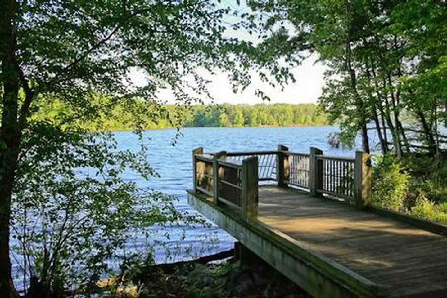
King's Mountain Point Day Use Area is located on the shores of Badin Lake north of Troy, NC in Montgomery County. The biggest fishing hole in the Uwharrie National Forest is Badin Lake. This 5,350-acre impoundment of the Yadkin River was built in 1917 by the Aluminum Company of America (ALCOA) to generate hydroelectric power for the aluminum plant at Badin. The eastern shore borders the National Forest and the lake is well stocked with catfish, bream, largemouth, white and striped bass.Recreation
The King's Mountain Point Day Use Area offers access to 4 accessible fishing piers, the Badin Lake Hiking Trail and a 0.5 mile paved, accessible trail around the day use area with splendid views of the lake. Additionally, there is a 9 hole, disc golf course. You can bring your own Frisbees or Discs or sign them out from our Day Use Host that is on site.Facilities
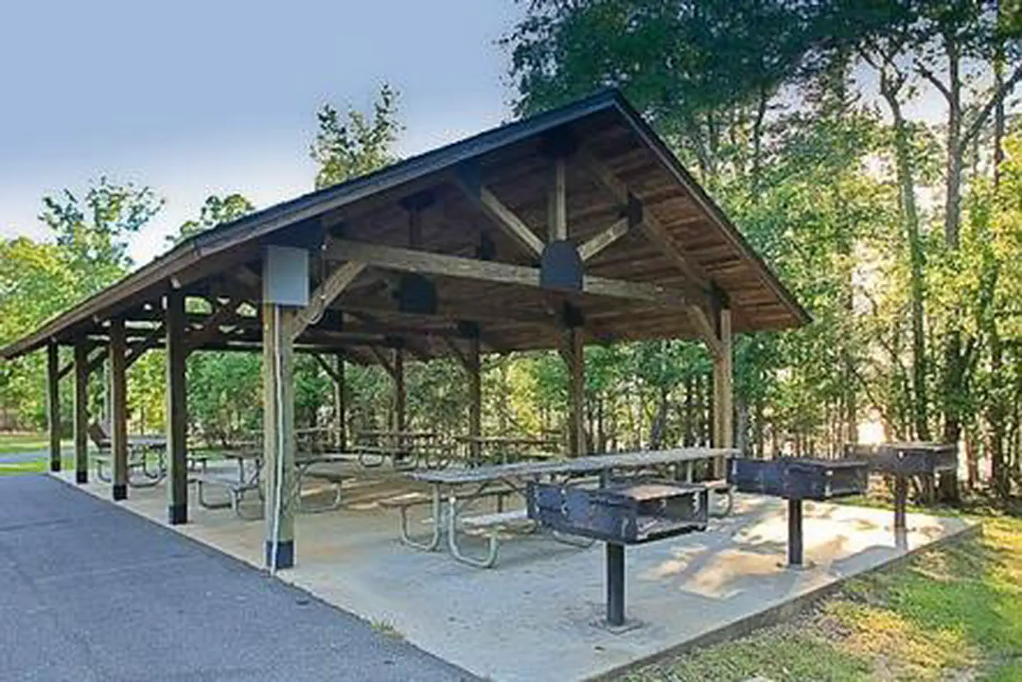
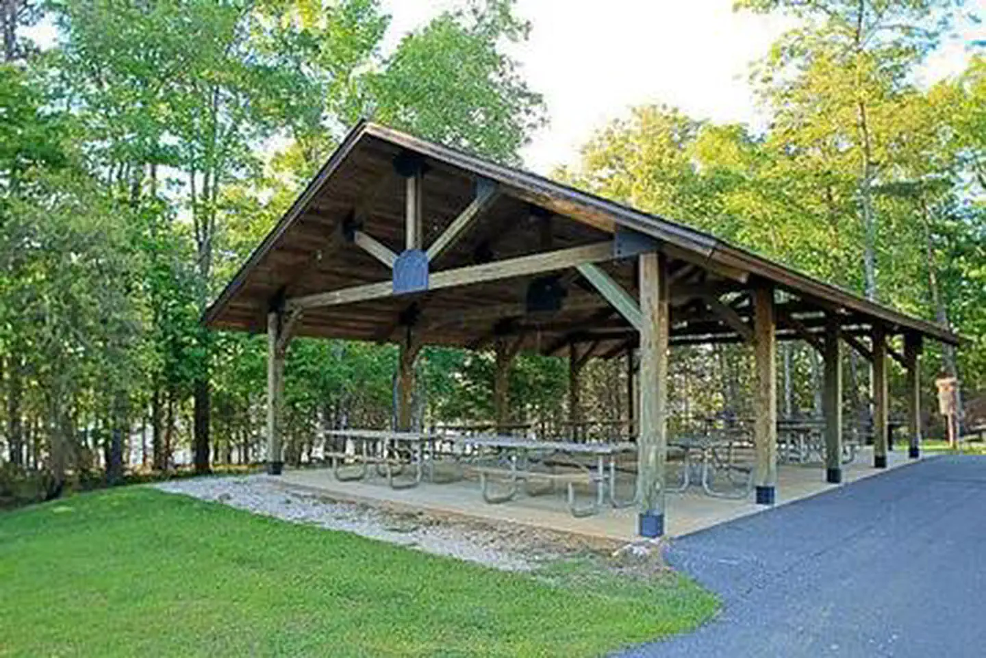
King's Mountain Point Day Use Area offers a picnic shelter with 9 picnic tables and 3 large BBQ grills. There are 6 electrical outlets of 30 amps at the picnic pavilion, but no lights built into the pavilion. The pavilion is accessible and it has flush toilets located near this facility. Additionally, there are 3 vault toilets at the day use area.Natural Features
This picnic shelter is located in a large field bordered by trees and is located on Badin Lake in the Uwharrie National Forest. This point is forested by mixed hardwoods and pines. This area has great fishing for all anglers to enjoy.The facts
- 6 bookable sites
- 6 sites for day use only
- 6 accessible sites
- Up to 75 people per site
- Loops: KING'S MOUNTAIN POINT PICNIC PAVILION (NC), KINGS MOUNTAIN POINT PICNIC PAVILION (NC)
Site types
- 6 Group Shelter Electric
Amenities
- Electric hookups
- Picnic tables
- Grills
- Shade
- Pets allowed
Not recorded upstream: water hookups, sewer hookups, campfires allowed, fire pits.
6 campsites at King's Mountain Point Picnic Pavilion (NC)
| Site | Loop | Type | Entry | Surface | Grade | Water | Max rig | People | |
|---|---|---|---|---|---|---|---|---|---|
| GS01 (Sun,M,T,W,TH,F,Sat) | KING'S MOUNTAIN POINT PICNIC PAVILION (NC) | Group Shelter Electric | Back In | Paved | Slight | Lakefront | — | 75 | ♿ 🐾 |
| GS01 AM (Mon.-Fri.) | KING'S MOUNTAIN POINT PICNIC PAVILION (NC) | Group Shelter Electric | Back In | Paved | Slight | Lakefront | — | 70 | ♿ 🐾 |
| GS01 PM (Mon.-Fri.) | KING'S MOUNTAIN POINT PICNIC PAVILION (NC) | Group Shelter Electric | Back In | Paved | Slight | Lakefront | — | 70 | ♿ 🐾 |
| GS01 (Sat.-Sun.) | KINGS MOUNTAIN POINT PICNIC PAVILION (NC) | Group Shelter Electric | Back In | Paved | Slight | Lakefront | — | 70 | ♿ 🐾 |
| GS01 AM (Mon.-Fri.) | KINGS MOUNTAIN POINT PICNIC PAVILION (NC) | Group Shelter Electric | Back In | Paved | Slight | Lakefront | — | 70 | ♿ 🐾 |
| GS01 PM (Mon.-Fri.) | KINGS MOUNTAIN POINT PICNIC PAVILION (NC) | Group Shelter Electric | Back In | Paved | Slight | Lakefront | — | 70 | ♿ 🐾 |
Getting there
From the north: get onto NC Hwy 109 South (near Denton) and take it south toward Troy. Cross over NC Hwy 49 and continue south approximately 8 miles into the community of Eldorado and turn right onto Mullinix Road (State Road 1154). There is a big brown sign directing people to the Badin Lake Recreation Area. Take Mullinix Road to the stop sign and turn right onto Forest Road 544 (McLean's Creek Rd); continue to stop sign and turn right onto Forest Road 597 (Badin Lake Road); take the first left onto Forest Road 597A and continue on this road following signs for the picnic area and the picnic pavilion is on the hill opposite the entrance to the day use area.
From the south: get onto NC Hwy 109 North (near Troy) and take it north toward the community of Uwharrie. Continue north approximately 3 miles and take the 2nd left after you cross over the Uwharrie River onto Mullinix Road (State Road 1154). Then follow the directions described above from Mullinix Road.
From the south: get onto NC Hwy 109 North (near Troy) and take it north toward the community of Uwharrie. Continue north approximately 3 miles and take the 2nd left after you cross over the Uwharrie River onto Mullinix Road (State Road 1154). Then follow the directions described above from Mullinix Road.
35.45500, -80.07833 · 35°27'18.0"N 80°4'42.0"W
Typical weather
Typically 89°F in Jul, down to 51°F in Jan.
| Jan | Feb | Mar | Apr | May | Jun | Jul | Aug | Sep | Oct | Nov | Dec | |
|---|---|---|---|---|---|---|---|---|---|---|---|---|
| High °F | 51 | 55 | 63 | 72 | 79 | 86 | 89 | 87 | 81 | 73 | 62 | 54 |
| Low °F | 31 | 33 | 40 | 48 | 57 | 66 | 69 | 68 | 62 | 50 | 40 | 34 |
| Precip in | 3.8 | 3.0 | 4.0 | 3.7 | 3.5 | 4.7 | 5.2 | 4.8 | 4.6 | 3.6 | 3.3 | 3.9 |
1991–2020 averages from the nearest NOAA station, 7.8 mi away — not measured at the facility itself, and elevation can make a real difference over that distance.
Map
More photos
Member photos
Common questions about King's Mountain Point Picnic Pavilion (NC)
- Can you reserve a site at King's Mountain Point Picnic Pavilion (NC)?
- Yes, King's Mountain Point Picnic Pavilion (NC) is reservable through Recreation.gov.
- How many campsites does King's Mountain Point Picnic Pavilion (NC) have?
- 6 sites.
- Are pets allowed at King's Mountain Point Picnic Pavilion (NC)?
- Yes, pets are allowed at King's Mountain Point Picnic Pavilion (NC).
- Does King's Mountain Point Picnic Pavilion (NC) have hookups?
- Electric.
Camping near King's Mountain Point Picnic Pavilion (NC)
- Badin Lake Group Camp 0.4 mi · Campground · we watch it
- Badin Lake Campground 0.5 mi · Campground · we watch it
- Arrowhead Campground 1.2 mi · Campground · we watch it
- Canebrake Horse Camp 2 mi · Campground · we watch it
- Badin Lake Recreation Area 0.5 mi · Facility
- Cove Boat Ramp 1.3 mi · Facility
- Flintlock Valley Shooting Range 2 mi · Facility
- Art Lilley Campground 3.3 mi · Campground
- Uwharrie Hunt Camp 3.5 mi · Campground
- West Morris Mtn. Campground 5.1 mi · Campground
- Uwharrie National Forest 13.7 mi · Facility
- North Carolina Transportation Museum 25.6 mi · Facility
Contact
- Phone 910-576-6391
- Book Recreation.gov
Recreation.gov last updated this record on 2026-02-25.
Facility information and photographs from Recreation.gov (RIDB). SpotOpened is not affiliated with Recreation.gov or any federal agency.
Comments