Sloway Campground (MT)
Campground · Montana · 28 bookable sites ·
Managed by the USDA Forest Service
Lolo National Forest (NF) · Open Access
- 28
- Bookable sites
- up to 16
- People per site
- 2,664 ft
- Elevation
Overview
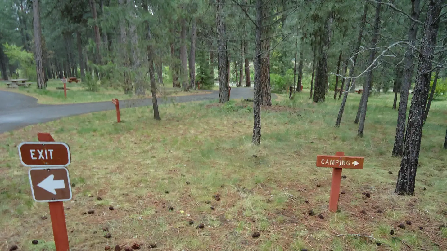
Sloway Campground is located off of Interstate 90, just 60 minutes west of Missoula, Montana and 15 minutes west of Superior, Montana. The paved campground has 27 sites total. There is water, vault toilets, trash services, picnic tables, fire rings, volleyball net, horseshoe pits, and Camp Hosts. The campground sits on the Clark Fork River in the shade of pines trees and has a primitive boat launch and an equestrian site. Be aware the campground receives a lot of noise from Interstate 90 and passing trains.
Recreation
The campground is in close proximity to launch sites along the Clark Fork River, including the Alberton Gorge. The campground can accommodate small to medium groups recreating on the river or in the National Forest. The Sloway Campground is one of three full-service campgrounds located along Interstate 90 between Idaho and Missoula, Montana.
Facilities
Sloway Campground is paved and has vault toilets, potable water, a Camp Host, and trash services. Each site has a parking space, picnic table, and fire ring. There are 27 sites in total with 12 pull-through sites for vehicles longer than 35 feet. Sites 1 - 10 and 21 - 25 are reservable. Sites 11- 20 and 26 & 27 are first-come, first-serve.
Natural Features
The campground resides in the valley bottom surrounded by pine trees and the Clark Fork River to the south. The campground is flat and easily accessible from Interstate 90.
Nearby Attractions
Missoula is 60 miles to the east.
Superior is 8 miles to the east.
St. Regis is 7 miles to the west.
Route of the Hiawatha Trail is 43 miles to the west.
Lookout Ski Area / Idaho is 48 miles to the west.
Alberton Gorge is 21 miles to the east.
The facts
- Season: May 19 — USDA Forest Service, Aug 24, 2026
- 28 bookable sites
- 29 sites in total, including non-bookable
- Up to 16 people per site
- Loops: A, Horse Camp, S&P
Site types
- 14 Standard Nonelectric
- 12 RV Nonelectric
- 1 Equestrian Nonelectric
- 1 Group Standard Nonelectric
- 1 Management
Amenities
- Campfires allowed
- Fire pits
- Picnic tables
- Shade
- Pets allowed
- Water hookups — not available
Not recorded upstream: electric hookups, sewer hookups, grills.
29 campsites at Sloway Campground (MT)
Check-in 2:00 PM · Check-out 12:00 PM
| Site | Loop | Type | Entry | Surface | Grade | Water | Max rig | People | |
|---|---|---|---|---|---|---|---|---|---|
| 1 | A | Standard Nonelectric | Back In | Paved | — | Riverfront | — | 8 | 🐾 |
| 10 | A | Standard Nonelectric | Back In | Paved | — | Riverfront | — | 8 | 🐾 |
| 11 | A | Group Standard Nonelectric | Back In | Paved | — | — | — | 16 | 🐾 |
| 12 | A | Standard Nonelectric | Back In | Paved | — | — | — | 8 | 🐾 |
| 13 | A | Standard Nonelectric | Back In | Paved | — | — | — | 8 | 🐾 |
| 14 | A | Standard Nonelectric | Back In | Paved | — | — | — | 8 | 🐾 |
| 15 | A | Rv Nonelectric | Pull Through | Paved | — | — | — | 8 | 🐾 |
| 16 | A | Standard Nonelectric | Back In | Paved | — | — | — | 8 | 🐾 |
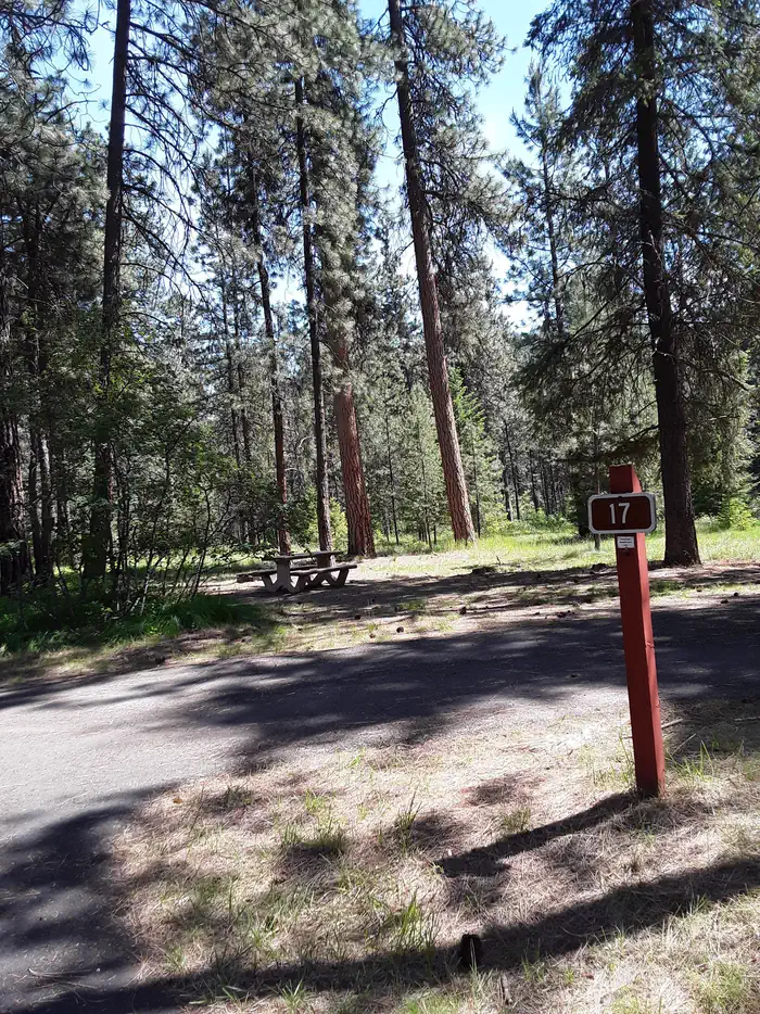
| 17 | A | Standard Nonelectric | Back In | Paved | — | — | — | 8 | 🐾 |
| 18 | A | Standard Nonelectric | Back In | Paved | — | — | — | 8 | 🐾 |
| 19 | A | Standard Nonelectric | Back In | Paved | — | — | — | 8 | 🐾 |
| 2 | A | Standard Nonelectric | Back In | Paved | — | Riverfront | — | 8 | 🐾 |
| 20 | A | Rv Nonelectric | Pull Through | Paved | — | — | — | 8 | 🐾 |
| 21 | A | Rv Nonelectric | Pull Through | Paved | — | — | — | 8 | 🐾 |
| 22 | A | Rv Nonelectric | Pull Through | Paved | — | — | — | 8 | 🐾 |
| 23 | A | Rv Nonelectric | Pull Through | Paved | — | — | — | 8 | 🐾 |
| 24 | A | Rv Nonelectric | Pull Through | Paved | — | — | — | 8 | 🐾 |
| 25 | A | Rv Nonelectric | Pull Through | Paved | — | Riverfront | — | 8 | 🐾 |
| 26 | A | Standard Nonelectric | Back In | Paved | — | — | — | 8 | 🐾 |
| 27 | A | Rv Nonelectric | Pull Through | Paved | — | — | — | 8 | 🐾 |
| 3 | A | Rv Nonelectric | Pull Through | Paved | — | Riverfront | — | 8 | 🐾 |
| 4 | A | Standard Nonelectric | Back In | Paved | — | Riverfront | — | 8 | 🐾 |
| 5 | A | Standard Nonelectric | Back In | Paved | — | Riverfront | — | 8 | 🐾 |
| 6 | A | Rv Nonelectric | Pull Through | Paved | — | — | — | 8 | 🐾 |
| 7 | A | Standard Nonelectric | Back In | Paved | — | Riverfront | — | 8 | 🐾 |
| 8 | A | Rv Nonelectric | Pull Through | Paved | — | — | — | 8 | 🐾 |
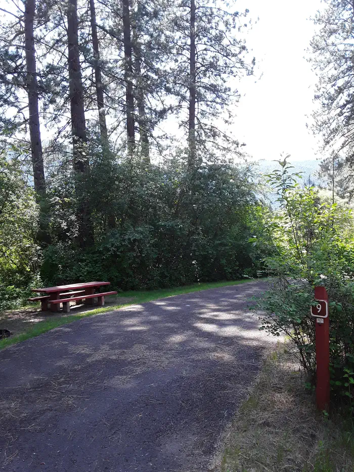
| 9 | A | Rv Nonelectric | Pull Through | Paved | — | Riverfront | — | 8 | 🐾 |
| 28 | Horse Camp | Equestrian Nonelectric | Pull Through | Gravel | Slight | Riverfront | — | 8 | 🐾 |
| S&P Standard | S&P | Management | — | — | — | — | — | — |
Getting there
From I-90 take Exit 43 at Dry Creek. At the end of exit ramp, turn right and go 0.3 miles across the Clark Fork River to the stop sign. Turn left and go 3.2 miles to campground located on the left. Or take Exit 37 at Sloway. At the end of the exit ramp, turn right and travel 2.8 miles east. The campground is on the right.
47.23383, -115.02608 · 47°14'1.8"N 115°1'33.9"W
Typical weather
Typically 87°F in Aug, down to 33°F in Dec.
| Jan | Feb | Mar | Apr | May | Jun | Jul | Aug | Sep | Oct | Nov | Dec | |
|---|---|---|---|---|---|---|---|---|---|---|---|---|
| High °F | 35 | 41 | 51 | 59 | 69 | 77 | 86 | 87 | 76 | 59 | 42 | 33 |
| Low °F | 22 | 21 | 26 | 32 | 38 | 44 | 47 | 45 | 39 | 32 | 26 | 21 |
| Precip in | — | — | — | — | — | — | — | — | — | — | — | — |
1991–2020 averages from the nearest NOAA station, 5.7 mi away — not measured at the facility itself, and elevation can make a real difference over that distance.
Map
Fees and stay limits
$15.00 per night per site. $5.00 for extra vehicles not in tow. Scan and Pay is available for all first come first served sites. The QR code is posted at the campground fee station. You must have the most recent recreation.gov mobile app. Cost is $15.00 per site with a $1.50 service fee. The mobile app will only allow you to pay for 1 night at a time. Reservations can be made 3 days before arrival through recreation.gov Recreation.gov charges $15.00 per site with an $8.00 service fee.
From Recreation.gov, which is not always current. The operator's own page is the authority on what you will be charged.
More photos
Member photos
Common questions about Sloway Campground (MT)
- Can you reserve a site at Sloway Campground (MT)?
- Yes, Sloway Campground (MT) is reservable through Recreation.gov.
- How many campsites does Sloway Campground (MT) have?
- 29 sites in total, of which 28 can be booked.
- Are pets allowed at Sloway Campground (MT)?
- Yes, pets are allowed at Sloway Campground (MT).
- Does Sloway Campground (MT) have hookups?
- No hookups are recorded here.
- Are campfires allowed at Sloway Campground (MT)?
- Campfires are allowed at Sloway Campground (MT). Check for a current fire restriction before you go.
Also listed by
Sloway Campground (MT) also appears in other federal recreation data. Facts below are matched by name and location, not confirmed by Sloway Campground (MT)'s operator.
USDA Forest Service — data as of Aug 24, 2026
- $15 per night. $5 fee for each additional vehicle after two vehicles.
Restrictions:
- Bear Safety and Food Storage Requirements Information
Camping near Sloway Campground (MT)
- Thompson Peak Lookout Tower 6.8 mi · Campground · we watch it
- Cascade Campground 10.7 mi · Campground · we watch it
- Trout Creek Campground (MT) 10.9 mi · Campground · we watch it
- Cabin City Campground (MT) 14.8 mi · Campground · we watch it
- Quartz Flat Campground (MT) 16.2 mi · Campground · we watch it
- Up Up Lookout 16.4 mi · Campground · we watch it
- Little Joe Campground - Lolo NF 5.8 mi · Facility
- Peninsula Dispersed Campground and Recreation Area 8.5 mi · Campground
- Muchwater Dispersed Campground and Recreation Area 9.9 mi · Campground
- Up Up 40-Foot Lookout Tower 16.4 mi · Campground
- Deer Creek Campground 18.2 mi · Campground
- Conrad Crossing Campground 19 mi · Facility
Contact
- Phone 406-822-4233
- Book Recreation.gov
Recreation.gov last updated this record on 2026-03-11.
Facility information and photographs from Recreation.gov (RIDB). SpotOpened is not affiliated with Recreation.gov or any federal agency.
Comments