Pattee Canyon Picnic Area
Campground · Montana · 3 bookable sites ·
Managed by the USDA Forest Service
- 3
- Bookable sites
- up to 200
- People per site
- 3
- Accessible sites
- 3,224 ft
- Elevation
Overview
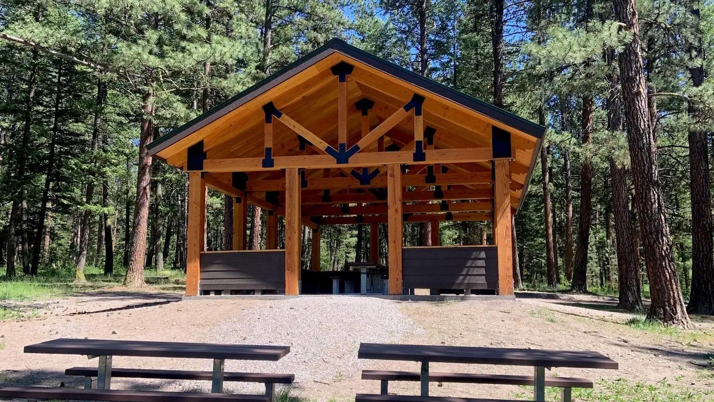
The Pattee Canyon Picnic Area offers family picnic sites available for free, along with three group picnic sites available by reservation. The picnic area is open July 1 through Labor Day.Recreation
The Pattee Canyon Recreation Area is a popular spot for day hikes, mountain biking, horseback riding and picnicking. There are several trailheads in the area. Cross-country skiing is popular in the area during winter months.Facilities
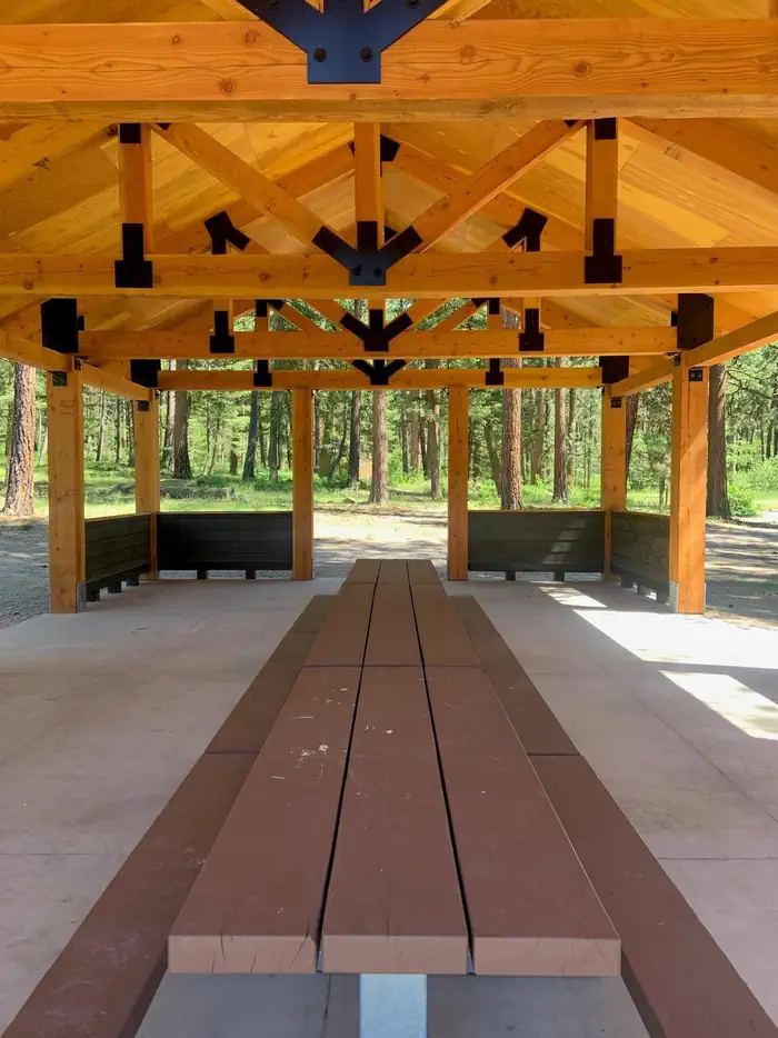
The picnic area offers several individual- and group-sized picnic sites. The roads are paved and the group sites have trash collection receptacles and accessible vault toilets. Drinking water is not available at the picnic area. A host may be on-site during summer months.Natural Features
Set in a wooded canyon east of Missoula, at 4,100 feet, the picnic site is pleasantly shaded by large ponderosa pine trees.Nearby Attractions
Pattee Canyon Picnic Area is located four miles southeast of Missoula.The facts
- 3 bookable sites
- 3 sites for day use only
- 3 accessible sites
- Up to 200 people per site
- Loops: A, B, C
Site types
- 3 Group Picnic Area
Amenities
- Shade
- Pets allowed
Not recorded upstream: electric hookups, water hookups, sewer hookups, campfires allowed, fire pits, picnic tables, grills.
3 campsites at Pattee Canyon Picnic Area
Check-in 9:00 AM · Check-out 9:00 PM
| Site | Loop | Type | Entry | Surface | Max rig | People | |
|---|---|---|---|---|---|---|---|
| 01A | A | Group Picnic Area | — | Paved | — | 200 | ♿ |
| 02B | B | Group Picnic Area | — | Paved | — | 40 | ♿ 🐾 |
| 03C | C | Group Picnic Area | — | Paved | — | 50 | ♿ |
Getting there
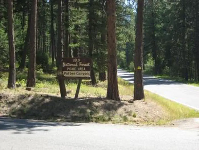
From I-90 in Missoula, take the Orange Street exit #104 and travel south. Turn left onto West Front Street and go 0.2 miles to South Higgins Avenue, then turn right. Continue on South Higgins Avenue for about 2.7 miles to Pattee Canyon Road, then turn left. On Pattee Canyon Road, travel 4 miles heading (east) up the canyon. Look for the Pattee Canyon Picnic Area sign and entrance.
46.82694, -114.03778 · 46°49'37.0"N 114°2'16.0"W
Typical weather
| Jan | Feb | Mar | Apr | May | Jun | Jul | Aug | Sep | Oct | Nov | Dec | |
|---|---|---|---|---|---|---|---|---|---|---|---|---|
| High °F | — | — | — | — | — | — | — | — | — | — | — | — |
| Low °F | — | — | — | — | — | — | — | — | — | — | — | — |
| Precip in | 0.9 | 1.0 | 0.9 | 1.4 | 1.8 | 2.4 | 1.2 | 1.0 | 1.0 | 1.4 | 1.3 | 1.1 |
1991–2020 averages from the nearest NOAA station, 3.7 mi away — not measured at the facility itself, and elevation can make a real difference over that distance.
Map
More photos
Member photos
Common questions about Pattee Canyon Picnic Area
- Can you reserve a site at Pattee Canyon Picnic Area?
- Yes, Pattee Canyon Picnic Area is reservable through Recreation.gov.
- How many campsites does Pattee Canyon Picnic Area have?
- 3 sites.
- Are pets allowed at Pattee Canyon Picnic Area?
- Yes, pets are allowed at Pattee Canyon Picnic Area.
Camping near Pattee Canyon Picnic Area
- Larry Creek Group Camp 17.2 mi · Campground · we watch it
- West Fork Butte Lookout 18.3 mi · Campground · we watch it
- Lolo Creek Campground and Picnic Area 16.8 mi · Campground
- Charles Waters Campground 18.1 mi · Campground
- West Fork Butte Lookout 19 mi · Campground
- Norton Campground 23.9 mi · Campground
- Harry's Flat Campground 24.2 mi · Campground
- Dalles Campground 24.2 mi · Campground
- Lee Creek Campground 25 mi · Campground
- Grizzly Campground 25.1 mi · Campground
- Kreis Pond Campground 26.3 mi · Campground
- Bitterroot Flat Campground 27.7 mi · Campground
Contact
- Phone 406-329-3814
- Book Recreation.gov
Recreation.gov last updated this record on 2026-02-25.
Facility information and photographs from Recreation.gov (RIDB). SpotOpened is not affiliated with Recreation.gov or any federal agency.
Comments