Indian Road Group Use Shelter
Campground · Montana · 1 bookable site ·
Managed by the Bureau of Reclamation
- 1
- Bookable site
- up to 75
- People per site
- 1
- Accessible site
- 3,817 ft
- Elevation
Overview
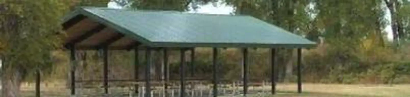
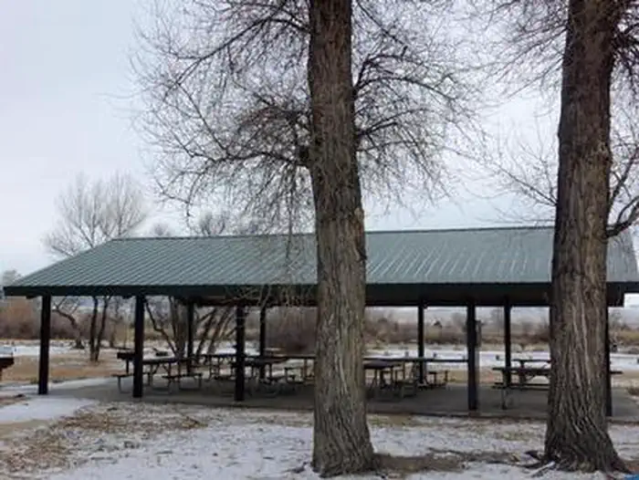
Indian Road Group Use Shelter is located at the southern end of Canyon Ferry Reservoir, just north of Townsend. It can accommodate up to 75 people and is attached to Indian Road campground. This 33’ X44’ shelter offers 8 picnic tables and 2 grills. Two vault toilets are located just across the parking lot. There is also a small fishing pond for kids and individuals with disabilities. This area is open to the public on a first come first serve baisis.
Recreation
Canyon Ferry Reservoir offers a wide range of year-round recreational opportunities. Water related activities include everything from swimming and fishing to sailing and motor-boating. Canoeists and kayakers explore the many quiet backwater bays. Jet skiers, windsurfers and water skiers skim the summer waves, while winter draws ice fishermen, ice boaters and skaters.Facilities
Indian Road Group Use Shelter is a 30' X 44' shelter with eight picnic tables, two grills, and a few accessable vault toilets. These is a fishing pond for the use of childeren and individuals with dissabilities. The shelter sits adjasent to Indian Road Campground, which is a first come first serve campground. The parking lot is graveled with ample space. There is also a ramp which is used by anglers and paddlers when the water level permits.
Natural Features
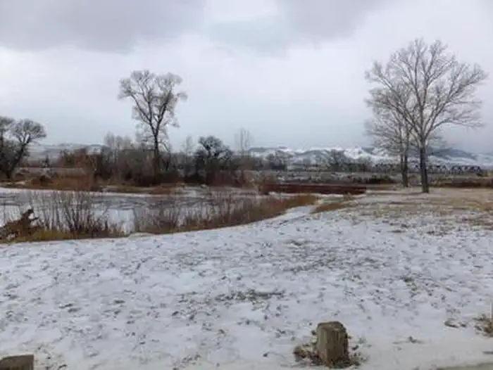
Indian Road Group Use Shelter sits along the Missouri River at the south end of Canyon Ferry Reservoir between the Big Belt and Elkhorns Mountain ranges. Young willows line the small fishing pond and mature cottonwoods provide shade in the grassy areas around the pavilion.
Contact Info
For facility specific information, please call (406) 475-3920.Nearby Attractions
Indian Road Group Use Shelter Is located along the Missouri River at the south end of Canyon Ferry Reservoir, between the Big Belt and Elkhorns Mountain ranges. The Canyon Ferry Wildlife Management Area, managed by FWP, is in close proximity; offering ample opportunities for bird watching and paddling during permitted seasons.
For up-to-date events in Broadwater County, Townsend, Montana, visit www.townsendmt.com, and for Helena visit, www.helenamt.com.
The facts
- 1 bookable site
- 1 site for day use only
- 1 accessible site
- Up to 75 people per site
- Loops: INDIAN ROAD GROUP USE SHELTER
Site types
- 1 Group Shelter Electric
Amenities
- Campfires allowed
- Fire pits
- Picnic tables
- Grills
- Shade
- Pets allowed
Not recorded upstream: electric hookups, water hookups, sewer hookups.
1 campsite at Indian Road Group Use Shelter
Check-in 11:00 AM · Check-out 10:00 PM
| Site | Loop | Type | Entry | Surface | Grade | Max rig | People | |
|---|---|---|---|---|---|---|---|---|
| Indian Road Group Use Shelter | INDIAN ROAD GROUP USE SHELTER | Group Shelter Electric | — | Gravel | Slight | — | 75 | ♿ 🐾 |
Getting there
46.33282, -111.52861 · 46°19'58.2"N 111°31'43.0"W
Typical weather
Typically 83°F in Jul, down to 34°F in Dec.
| Jan | Feb | Mar | Apr | May | Jun | Jul | Aug | Sep | Oct | Nov | Dec | |
|---|---|---|---|---|---|---|---|---|---|---|---|---|
| High °F | 34 | 39 | 49 | 58 | 67 | 74 | 83 | 83 | 73 | 59 | 44 | 34 |
| Low °F | 14 | 17 | 24 | 31 | 39 | 47 | 52 | 50 | 42 | 32 | 22 | 14 |
| Precip in | 0.3 | 0.3 | 0.4 | 0.8 | 1.8 | 2.5 | 1.2 | 1.1 | 0.8 | 0.7 | 0.4 | 0.3 |
1991–2020 averages from the nearest NOAA station, 4.3 mi away — not measured at the facility itself, and elevation can make a real difference over that distance.
Map
More photos
Member photos
Common questions about Indian Road Group Use Shelter
- Can you reserve a site at Indian Road Group Use Shelter?
- Yes, Indian Road Group Use Shelter is reservable through Recreation.gov.
- How many campsites does Indian Road Group Use Shelter have?
- 1 site.
- Are pets allowed at Indian Road Group Use Shelter?
- Yes, pets are allowed at Indian Road Group Use Shelter.
- Are campfires allowed at Indian Road Group Use Shelter?
- Campfires are allowed at Indian Road Group Use Shelter. Check for a current fire restriction before you go.
Camping near Indian Road Group Use Shelter
- Eagle Guard Station 10.3 mi · Campground · we watch it
- White Earth Campground 13.3 mi · Campground · we watch it
- Rillway Cabin 13.7 mi · Campground · we watch it
- Thompson Guard Station 19.3 mi · Campground · we watch it
- Miller Cabin 20.2 mi · Campground · we watch it
- Hellgate Campground 20.4 mi · Campground · we watch it
- Strawberry Cabin 20.9 mi · Campground · we watch it
- Coulter Campground 12.5 mi · Campground
- Rillway Cabin 15.1 mi · Campground
- Toston Dam Rec Site 15.7 mi · Facility
- Thompson Guard Station 19.8 mi · Campground
- Skidway Campground 20.6 mi · Campground
Contact
- Phone 406-475-3921
- Email dagallagher@usbr.gov
- Book Recreation.gov
Recreation.gov last updated this record on 2026-02-25.
Facility information and photographs from Recreation.gov (RIDB). SpotOpened is not affiliated with Recreation.gov or any federal agency.
Comments