Hurricane River Campground
Campground · Michigan · 21 bookable sites ·
Managed by the National Park Service
Pictured Rocks National Lakeshore (National Lakeshore) · Open Access
- 21
- Bookable sites
- 42 ft
- Max rig length
- up to 8
- People per site
- 2
- Accessible sites
- 644 ft
- Elevation
Overview
Pictured Rocks National Lakeshore hugs the Lake Superior shoreline for more than 40 miles along Michigan's northern coast. Lake Superior is the largest, deepest, coldest, and most pristine of all the Great Lakes. Camping at Pictured Rocks National Lakeshore is a great way to relax and enjoy the beauties the lakeshore has to offer. Campgrounds are rustic, and do not provide electric or sewer hookups. Campers, trailers, and RVs are welcome, note there are generator free areas. Cell phone reception is limited, so unplug, unwind, and enjoy the serenity Pictured Rocks National Lakeshore Campgrounds has to offer.
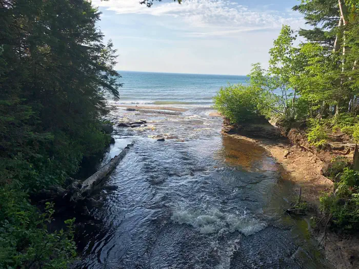
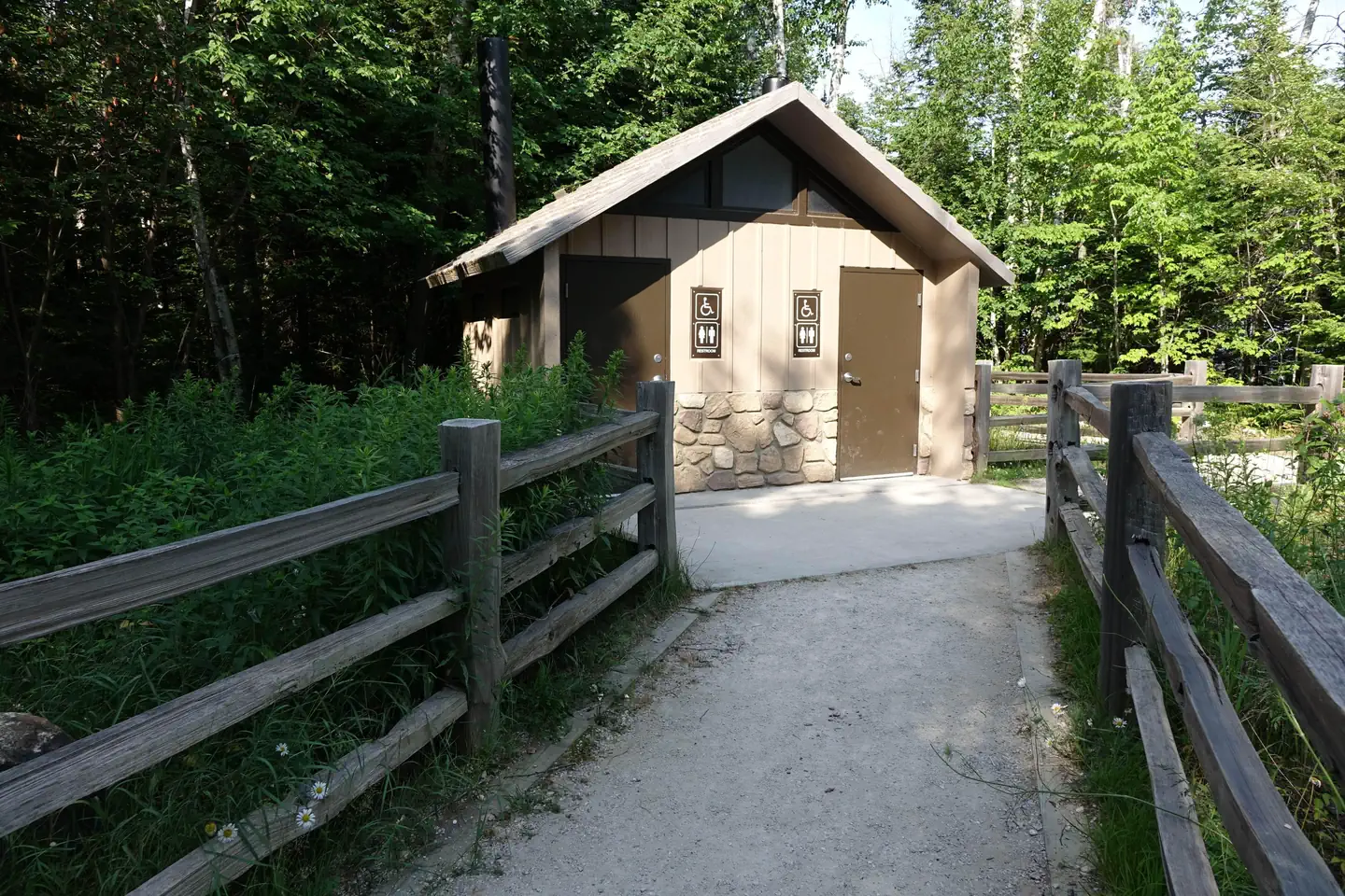
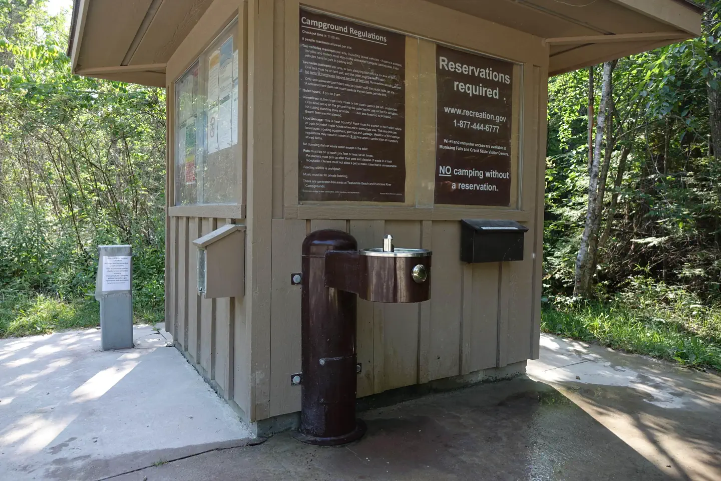
Hurricane River Campground is located 12 miles (19 km) west of Grand Marais and is divided into two separate sections off County Highway (H-) 58, Hurricane River Upper, and Hurricane River Lower. The Upper Campground has 10 sites and the Lower Campground has 12. Campground amenities include water, pit toilets, picnic tables, fire rings, and handicap accessible sites. Hurricane River Lower Campground is the trailhead for the Au Sable Light Station, which is a 3-mile (5 km) round trip stroll to the lighthouse with views of Lake Superior, Jacobsville Sandstone, and Shipwreck remains. Upper Hurricane River is tucked back in the woods with beautiful deciduous trees between sites allowing for the woodsy experience of Northern Michigan.
Recreation
Pictured Rocks National Lakeshore offers 100 miles (161 km) of hiking trails leading to waterfalls, beaches, forest wilderness, cultural sites, and breathtaking cliff-top views of Lake Superior. Whether you have only a few minutes, hours, or days to see a portion of the lakeshore, one of these hikes may be for you.
Lake Superior's rugged shoreline invites boaters to explore the beautiful Pictured Rocks National Lakeshore with its miles of colorful sandstone cliffs and long stretches of sandy beaches. Peaceful inland lakes also invite boaters to linger in the northwoods. Check the marine weather forecast before venturing out. Watch the weather carefully while on the lake. The weather can change suddenly and unexpectedly. Just because it's calm in Munising Bay or Grand Marais Harbor does not mean it is calm along the more distant shores. The Pictured Rocks cliffs rise 50 to 200 feet (15 to 61 m) directly from the lake, offering precious few protected places if the wind and waves increase.
Facilities
Pictured Rocks National Lakeshore drive-in campsites are rustic and do not have electric, water, or sewer hookups. Campsites provide a picnic table, fire ring with grill grate, and tent pad. The campgrounds have vault toilets and well water. Tent-style enclosures for campsite portable toilets are strictly prohibited. Typically there is no cell phone reception.
Natural Features
Sandstone cliffs, beaches, sand dunes, waterfalls, inland lakes, deep forest, and wild shoreline beckon you to visit Pictured Rocks National Lakeshore. The power of Lake Superior shapes the park's coastal features and affects every ecosystem, creating a unique landscape to explore. Hiking, camping, sightseeing, and four-season outdoor opportunities abound.
Nearby Attractions
Kayak and Other Guided Tours and Pictured Rocks Boat Cruises within the national lakeshore are offered by authorized private companies. Pontoon boat and other rentals for use on Lake Superior are available in nearby communities.
Charges & Cancellations
The facts
- 21 bookable sites
- 22 sites in total, including non-bookable
- 2 accessible sites
- Vehicles up to 42 ft
- Up to 8 people per site
- Loops: Lower, Upper
Site types
- 21 Standard Nonelectric
- 1 Management
Amenities
- Campfires allowed
- Fire pits
- Shade
- Pets allowed
Not recorded upstream: electric hookups, water hookups, sewer hookups, picnic tables, grills.
22 campsites at Hurricane River Campground
Check-in 11:00 AM · Check-out 11:00 AM
| Site | Loop | Type | Entry | Surface | Max rig | People | |
|---|---|---|---|---|---|---|---|
| 01 | Lower | Standard Nonelectric | — | Gravel | 24 ft | 8 | 🐾 |
| 02 | Lower | Standard Nonelectric | — | Gravel | 36 ft | 8 | 🐾 |
| 03 | Lower | Standard Nonelectric | — | Gravel | 36 ft | 8 | 🐾 |
| 04 | Lower | Standard Nonelectric | — | Gravel | 36 ft | 8 | 🐾 |
| 05 | Lower | Standard Nonelectric | — | Gravel | 36 ft | 8 | 🐾 |
| 06 | Lower | Standard Nonelectric | — | Gravel | 28 ft | 8 | 🐾 |
| 07 | Lower | Standard Nonelectric | — | Gravel | 33 ft | 8 | 🐾 |
| 08 | Lower | Management | — | Gravel | 36 ft | 8 | 🐾 |
| 09 | Lower | Standard Nonelectric | — | Gravel | 36 ft | 8 | 🐾 |
| 10 | Lower | Standard Nonelectric | — | Gravel | 36 ft | 8 | 🐾 |
| 11 | Lower | Standard Nonelectric | — | Gravel | 36 ft | 8 | 🐾 |
| 12 | Lower | Standard Nonelectric | — | Gravel | 36 ft | 8 | ♿ 🐾 |
| 01 | Upper | Standard Nonelectric | — | Gravel | 34 ft | 8 | 🐾 |
| 02 | Upper | Standard Nonelectric | — | Gravel | 36 ft | 8 | 🐾 |
| 03 | Upper | Standard Nonelectric | — | Gravel | 36 ft | 8 | 🐾 |
| 04 | Upper | Standard Nonelectric | — | Gravel | 36 ft | 8 | 🐾 |
| 05 | Upper | Standard Nonelectric | — | Gravel | 36 ft | 8 | 🐾 |
| 06 | Upper | Standard Nonelectric | — | Gravel | 36 ft | 8 | 🐾 |
| 07 | Upper | Standard Nonelectric | — | Gravel | 36 ft | 8 | 🐾 |
| 08 | Upper | Standard Nonelectric | — | Gravel | 42 ft | 8 | 🐾 |
| 09 | Upper | Standard Nonelectric | — | Gravel | 36 ft | 8 | 🐾 |
| 10 | Upper | Standard Nonelectric | — | Gravel | 36 ft | 8 | ♿ 🐾 |
Getting there
Pictured Rocks NL is located on the south shore of Lake Superior in Michigan's Upper Peninsula, between the towns of Munising (west) and Grand Marais (east). Access the west side of the park via Michigan highways M-28 and M-94 to Munising. State highway M-77 leads to Grand Marais on the east side. Alger County Road H-58 runs parallel and through the park, providing access to spur roads that lead to scenic overlooks, trailheads, campgrounds, beaches, etc. Many roads are closed in winter due to snow.
46.66395, -86.16616 · 46°39'50.2"N 86°9'58.2"W
Typical weather
Typically 75°F in Aug, down to 24°F in Jan.
| Jan | Feb | Mar | Apr | May | Jun | Jul | Aug | Sep | Oct | Nov | Dec | |
|---|---|---|---|---|---|---|---|---|---|---|---|---|
| High °F | 24 | 27 | 37 | 48 | 61 | 70 | 75 | 75 | 68 | 55 | 41 | 31 |
| Low °F | 14 | 13 | 20 | 28 | 40 | 48 | 55 | 56 | 50 | 39 | 29 | 20 |
| Precip in | — | — | — | — | — | — | — | — | — | — | — | — |
1991–2020 averages from the nearest NOAA station, 10.3 mi away — not measured at the facility itself, and elevation can make a real difference over that distance.
Map
Fees and stay limits
All campsites are $25.00 per day by reservation only. Senior Pass and Access Pass holders receive a 50% discount. The pass number must be entered when making reservation
From Recreation.gov, which is not always current. The operator's own page is the authority on what you will be charged.
More photos
Member photos
Common questions about Hurricane River Campground
- Can you reserve a site at Hurricane River Campground?
- Yes, Hurricane River Campground is reservable through Recreation.gov.
- How many campsites does Hurricane River Campground have?
- 22 sites in total, of which 21 can be booked.
- What is the maximum RV length at Hurricane River Campground?
- 42 ft. That is the longest vehicle the sites here are recorded as taking; individual sites may be shorter.
- Are pets allowed at Hurricane River Campground?
- Yes, pets are allowed at Hurricane River Campground.
- Are campfires allowed at Hurricane River Campground?
- Campfires are allowed at Hurricane River Campground. Check for a current fire restriction before you go.
Camping near Hurricane River Campground
- Au Sable Light Station 1.4 mi · Tickets · we watch it
- Twelvemile Beach Campground and Cabin 3 mi · Campground · we watch it
- Pictured Rocks National Lakeshore Backcountry Camping Permit 9.6 mi · Campground · we watch it
- Little Beaver Campground 11.8 mi · Campground · we watch it
- Little Dune 1 Campsite on Grand Island 25.6 mi · Campground
- Little Duck Campsite on Grand Island 26 mi · Facility
- Bermuda Campsite on Grand Island 26.4 mi · Campground
- Duck Lake Campsite on Grand Island 26.4 mi · Campground
- Loon Call Campsite on Grand Island 26.6 mi · Campground
- Murray Bay Group Campsite on Grand Island 26.8 mi · Campground
- Hemlock Campsite on Grand Island 27.1 mi · Campground
- Hardwood Campsite on Grand Island 27.3 mi · Campground
Contact
- Phone 906 387-3700 OR 906 494-2660
- Email piro_information@nps.gov
- Book Recreation.gov
Recreation.gov last updated this record on 2026-03-11.
Facility information and photographs from Recreation.gov (RIDB). SpotOpened is not affiliated with Recreation.gov or any federal agency.
Comments