Westville Recreation Area
Campground · Massachusetts · 3 bookable sites ·
Managed by the US Army Corps of Engineers
Westville Lake (Recreation Reservoir) · Open Access
- 3
- Bookable sites
- up to 100
- People per site
- 3
- Accessible sites
- 530 ft
- Elevation
Overview
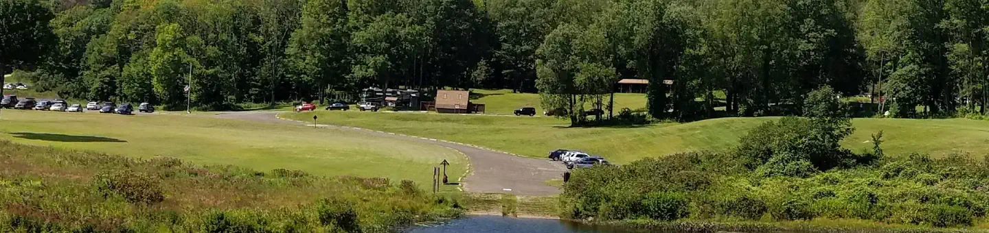
Westville Lake is situated on the Quinebaug River in the towns of Southbridge and Sturbridge, Massachusetts. Westville offers a variety of hiking opportunities, group picnic shelters, a picnic cove, a large recreation field, canoe/kayak launches, and much more.Recreation
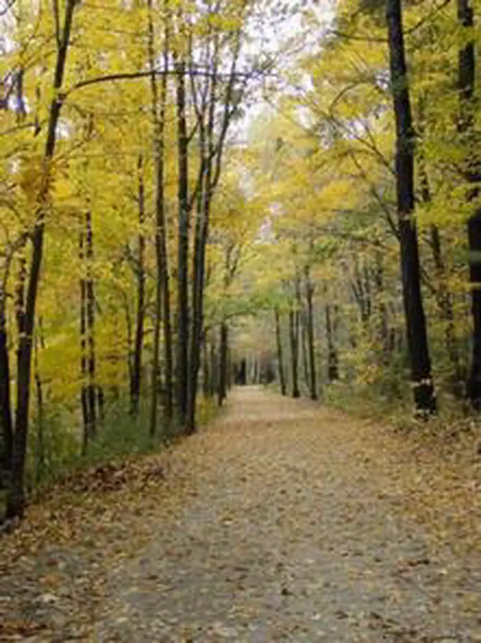
Westville Lake offers two large picnic shelters for hosting any number of events, a canoe/kayak launch into a slow current river, fishing opportunities, plenty of charcoal grills and picnic tables for everyone to enjoy, and a trail network perfect for hiking for all ages. In the winter, there is an ice skating pond in the park and perfect sledding hills!Facilities
There are two large picnic shelters with electricity hook-ups, picnic tables, and grills available for use in the recreation area. There is a large picnic cove with many picnic tables and grills. There are also flush toilets, drinking water, and hiking trails available throughout the park.Natural Features
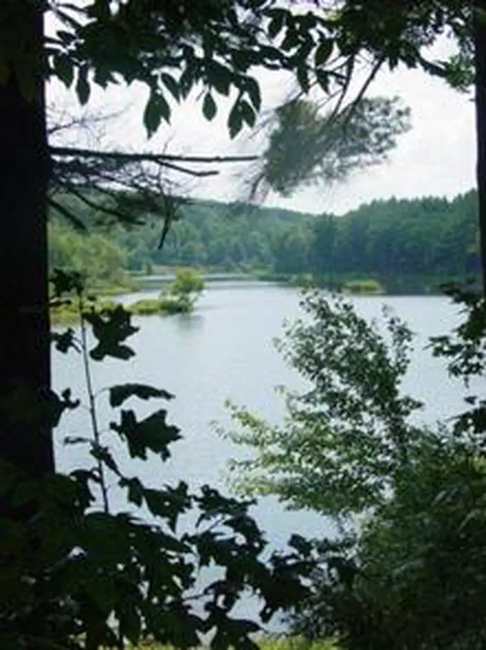
The recreation area features a large open field, a picnic cove with trees for shade on those hot summer days, and beautiful waterside views for wildlife viewing.Nearby Attractions
Explore the living history museum of Old Sturbridge Village nearby.Charges & Cancellations
Season Dates 2020 May 16, 2020 - September 7, 2020
The facts
- 3 bookable sites
- 3 sites for day use only
- 3 accessible sites
- Up to 100 people per site
- Loops: Ball Field, Shelters
Site types
- 2 Group Shelter Electric
- 1 Ball Field
Amenities
- Electric hookups
- Picnic tables
- Grills
- Pets allowed
Not recorded upstream: water hookups, sewer hookups, campfires allowed, fire pits, shade.
3 campsites at Westville Recreation Area
| Site | Loop | Type | Entry | Surface | Water | Max rig | People | |
|---|---|---|---|---|---|---|---|---|
| Ballfield | Ball Field | Ball Field | — | — | Lakefront | — | 100 | ♿ 🐾 |
| Shelter 1 | Shelters | Group Shelter Electric | — | — | Lakefront | — | 100 | ♿ 🐾 |
| Shelter 2 | Shelters | Group Shelter Electric | — | — | Lakefront | — | 50 | ♿ 🐾 |
Getting there
Westville Lake can be accessed from Wallace Road in Sturbridge, which is located directly off of Main St. The Dam and Recreation area can also be accessed from West St in Southbridge by taking a right onto South St.
The physical address for the Westville Lake Recreation Area is 125 Wallace Road.
The physical address for the Westville Lake Recreation Area is 125 Wallace Road.
42.07278, -72.06278 · 42°4'22.0"N 72°3'46.0"W
Typical weather
Typically 81°F in Jul, down to 35°F in Jan.
| Jan | Feb | Mar | Apr | May | Jun | Jul | Aug | Sep | Oct | Nov | Dec | |
|---|---|---|---|---|---|---|---|---|---|---|---|---|
| High °F | 35 | 36 | 45 | 58 | 69 | 77 | 81 | 79 | 72 | 59 | 49 | 39 |
| Low °F | 17 | 18 | 25 | 35 | 46 | 55 | 60 | 59 | 51 | 39 | 31 | 23 |
| Precip in | 4.0 | 3.5 | 4.6 | 4.4 | 3.7 | 4.4 | 4.3 | 4.4 | 4.2 | 5.0 | 4.1 | 5.1 |
1991–2020 averages from the nearest NOAA station, 1.1 mi away — not measured at the facility itself, and elevation can make a real difference over that distance.
Map
More photos
Member photos
Common questions about Westville Recreation Area
- Can you reserve a site at Westville Recreation Area?
- Yes, Westville Recreation Area is reservable through Recreation.gov.
- How many campsites does Westville Recreation Area have?
- 3 sites.
- Are pets allowed at Westville Recreation Area?
- Yes, pets are allowed at Westville Recreation Area.
- Does Westville Recreation Area have hookups?
- Electric.
Camping near Westville Recreation Area
- Buffumville Lake (Group Shelter) 8.6 mi · Campground · we watch it
- West Thompson Lake Campground 11.7 mi · Campground · we watch it
- West Hill Park 23.7 mi · Campground · we watch it
- Tully Lake Recreation Area (Ma) 40.2 mi · Campground · we watch it
- Indian Hollow 44.3 mi · Campground · we watch it
- Minute Man National Historical Park Tours 48 mi · Tickets · we watch it
- Richard Cronin National Salmon Station 34.9 mi · Facility
- Visitor Center 37.4 mi · Facility
- North Attleboro National Fish Hatchery 40.4 mi · Facility
- North Bridge Visitor Center 45.6 mi · Facility
- The Wayside: Home of Authors 45.8 mi · Visitor Center
- Nashua National Fish Hatchery 47.4 mi · Facility
Contact
- Phone 978-318-8848
- Book Recreation.gov
Recreation.gov last updated this record on 2026-04-16.
Facility information and photographs from Recreation.gov (RIDB). SpotOpened is not affiliated with Recreation.gov or any federal agency.
Comments