Buffumville Lake (Group Shelter)
Campground · Massachusetts · 1 bookable site ·
Managed by the US Army Corps of Engineers
Buffumville Lake (Recreation Reservoir) · Open Access
- 1
- Bookable site
- up to 60
- People per site
- 1
- Accessible site
- 516 ft
- Elevation
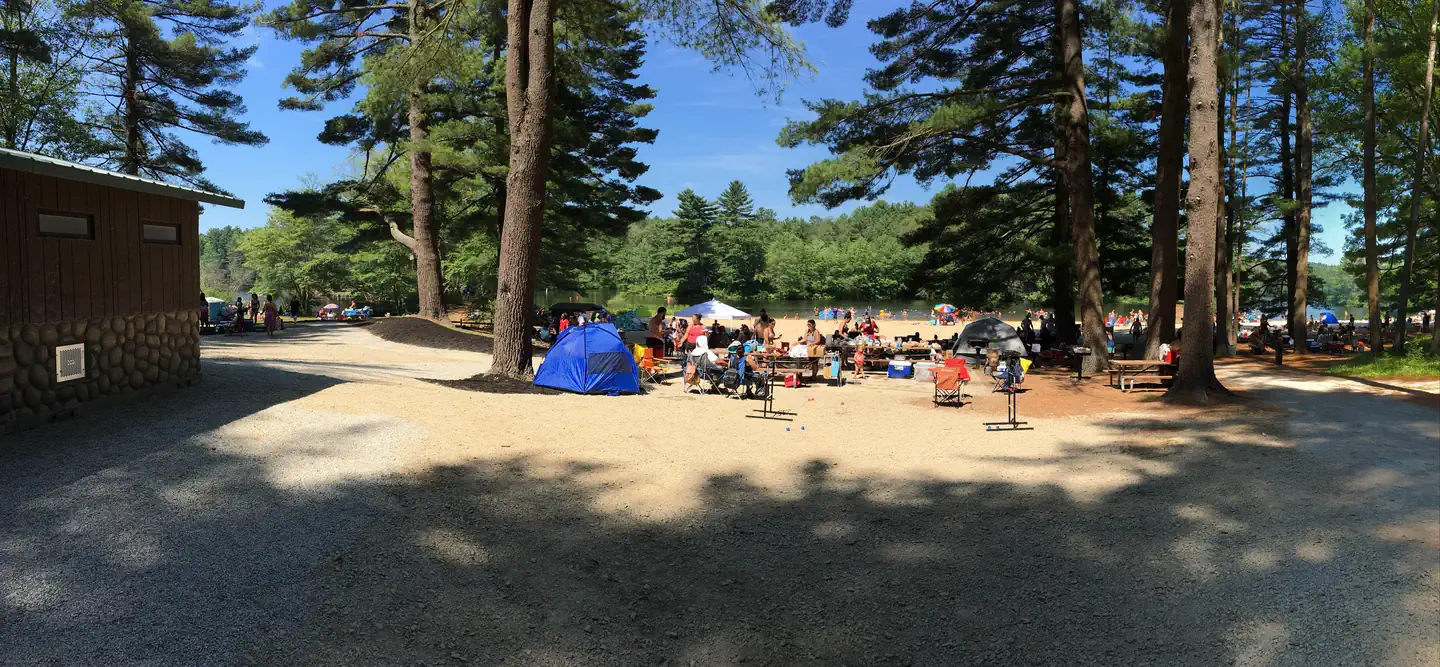
Overview
In 1958 the U.S. Army Corps of Engineers built Buffumville Dam in Charlton, Massachusetts to provide flood risk management for downstream communities. Flood waters due to large amounts of rainfall or spring snow melts are stored on 480 acres of land. The lake is also managed for recreation and environmental stewardship. Buffumville offers year-round recreation and park rangers are available to assist you during your visit.Recreation
Buffumville Lake provides excellent boating, canoeing, fishing, hiking and swimming opportunities. Hikers and bikers enjoy exploring the 7.2-mile Lake Shore Trail, which begins at the beach and circles the lake. Scenic and wildlife viewing opportunities are plentiful along the trail. The Buffumville Lake Disc Golf Course has an 18 hole professional layout and a 12 hole amateur layout that wind through the scenic project lands. The hilly terrain contains a mixture of open fairways, woods and water hazards. A concrete boat launch and courtesy dock allows boat access to the lake. Both sides of the lake are accessible by a twelve foot wide culvert under Oxford Road and there are no motor horsepower restrictions on the lake. Two barrier free fishing platforms are located within the boat launch area. Dogs are allowed in project recreation areas and shall be on a leash under six feet in length. Park rangers provide special interpretive programs on the cultural and natural environment, water resources, water safety, dam tours and flood risk management. Special use permits are available upon request for various lake events.Facilities
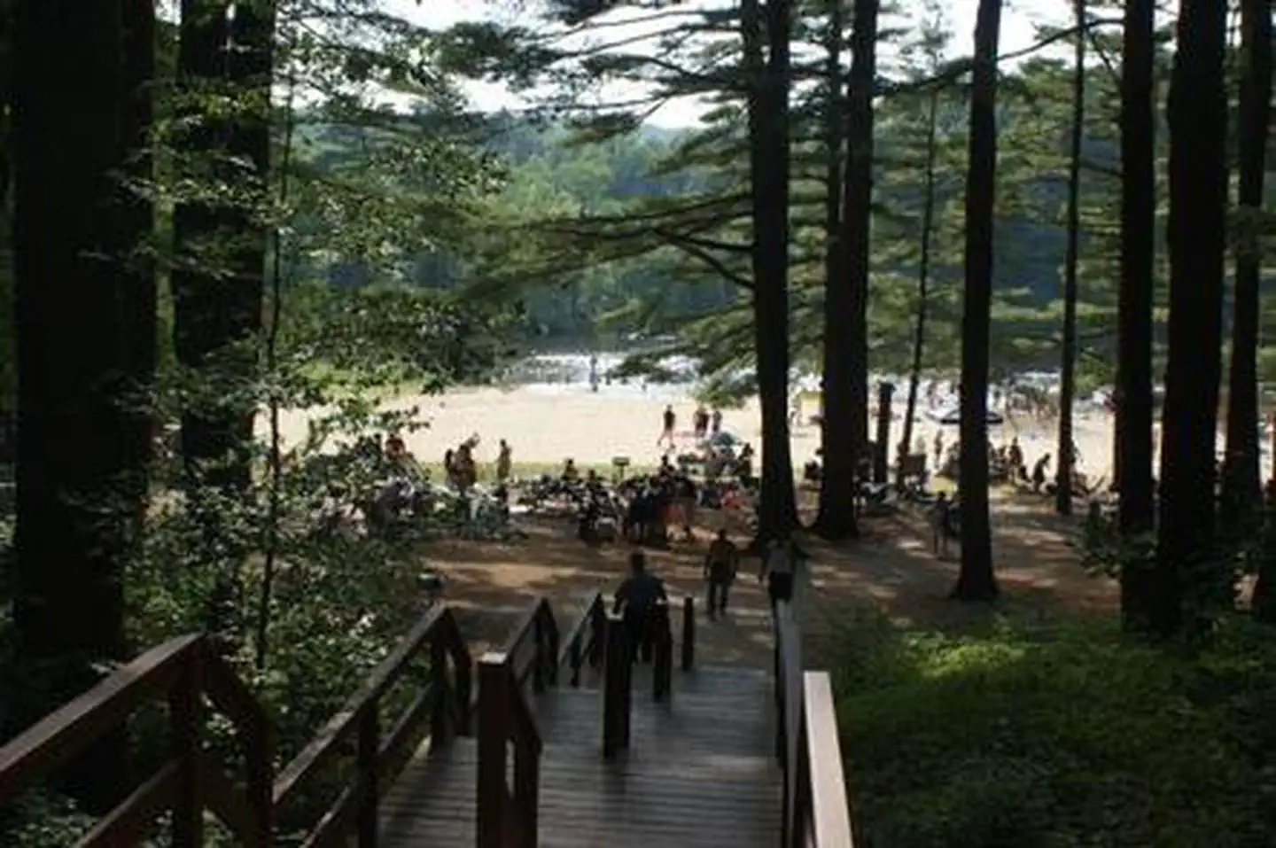
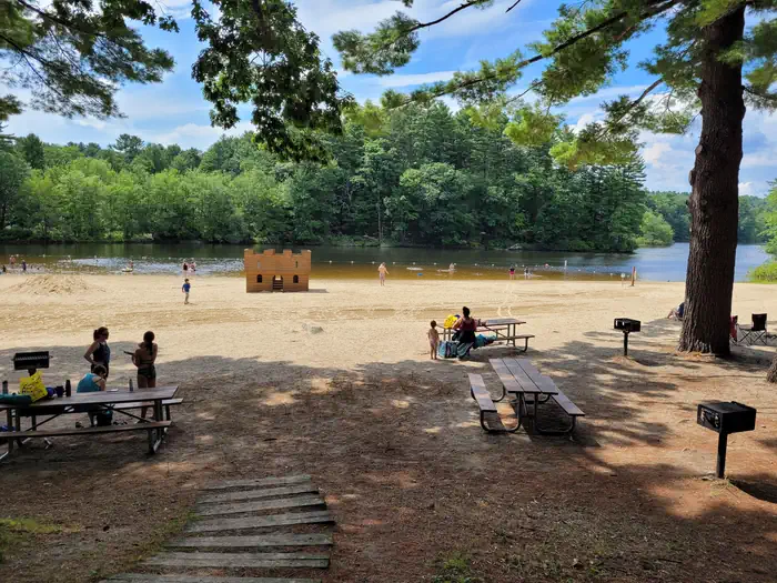
Buffumville Lake Park is open daily from 8am-7pm, from the 3rd Saturday in May through the 2nd Sunday in September. The park is a day use fee area containing over 50 picnic sites with tables and grills. The fee to enter the park is $5.00 per car, $2.00 walk-in, $20.00 commercial vehicles. Annual park passes are available upon request. The Corps maintains a swimming area with a 300 foot long sandy beach and castle play spot. This area also includes one picnic shelter that may be reserved for a fee, a life jacket loaner station, reservable horseshoe pit and volleyball court, and modern handicap accessible restrooms. America the Beautiful Federal Passes are sold at the ranger station. Please call 508-248-5697 to schedule an appointment.
Natural Features
The property at Buffumville is comprised of a diverse array of natural plant and wildlife habitats. The scenic 200-acre lake is surrounded by mixed forests of white pine, hemlock, red maple, alder and birch trees. Fall colors are spectacular in the region. Wildlife enthusiasts may spot fox, fishers, woodchucks, coyotes, hawks, and a wide variety of songbirds and migratory waterfowl. Game fish species include largemout bass, bluegill, northern pike, pumpkinseed, yellow perch, chain pickerel, brown bullhead, and black crappie. Hunting is not permitted in developed areas of the park and dam site. All federal, state and local laws apply.Nearby Attractions
Hodges Village Dam, West Thompson Lake CampgroundContact Info
For facility specific information, please call (508) 248-5697.Charges & Cancellations
Fees are non-refundable. Refunds will only be authorized if shelter is in unusable condition during reservation date.The facts
- 1 bookable site
- 1 site for day use only
- 1 accessible site
- Up to 60 people per site
- Loops: BUFFUMVILLE LAKE
Site types
- 1 Group Picnic Area
Amenities
- Grills
- Pets allowed
Not recorded upstream: electric hookups, water hookups, sewer hookups, campfires allowed, fire pits, picnic tables, shade.
1 campsite at Buffumville Lake (Group Shelter)
Check-in 08:00 AM · Check-out 7:00 PM
| Site | Loop | Type | Entry | Surface | Max rig | People | |
|---|---|---|---|---|---|---|---|
| 002 | BUFFUMVILLE LAKE | Group Picnic Area | — | — | — | 60 | ♿ 🐾 |
Getting there
From the Massachusetts Turnpike, take the Sturbridge exit and follow Route 20 to Charlton. Turn right on Route 31 and follow the brown signs to the park. From I-290, take exit 7B to Oxford Center and follow brown signs to park
42.12189, -71.90859 · 42°7'18.8"N 71°54'30.9"W
Typical weather
Typically 83°F in Jul, down to 34°F in Jan.
| Jan | Feb | Mar | Apr | May | Jun | Jul | Aug | Sep | Oct | Nov | Dec | |
|---|---|---|---|---|---|---|---|---|---|---|---|---|
| High °F | 34 | 37 | 45 | 57 | 69 | 77 | 83 | 81 | 74 | 61 | 50 | 39 |
| Low °F | 15 | 15 | 24 | 34 | 45 | 55 | 60 | 59 | 51 | 39 | 30 | 21 |
| Precip in | 3.8 | 3.2 | 4.4 | 4.3 | 3.6 | 4.0 | 3.9 | 4.2 | 4.1 | 4.8 | 3.9 | 4.6 |
1991–2020 averages from the nearest NOAA station, 0.4 mi away — not measured at the facility itself, and elevation can make a real difference over that distance.
Map
More photos
Member photos
Common questions about Buffumville Lake (Group Shelter)
- Can you reserve a site at Buffumville Lake (Group Shelter)?
- Yes, Buffumville Lake (Group Shelter) is reservable through Recreation.gov.
- How many campsites does Buffumville Lake (Group Shelter) have?
- 1 site.
- Are pets allowed at Buffumville Lake (Group Shelter)?
- Yes, pets are allowed at Buffumville Lake (Group Shelter).
Camping near Buffumville Lake (Group Shelter)
- Westville Recreation Area 8.6 mi · Campground · we watch it
- West Thompson Lake Campground 11.5 mi · Campground · we watch it
- West Hill Park 15.7 mi · Campground · we watch it
- Tully Lake Recreation Area (Ma) 39.4 mi · Campground · we watch it
- Minute Man National Historical Park Tours 39.6 mi · Tickets · we watch it
- Visitor Center 32.5 mi · Facility
- North Attleboro National Fish Hatchery 33.3 mi · Facility
- North Bridge Visitor Center 37.3 mi · Facility
- The Wayside: Home of Authors 37.5 mi · Visitor Center
- Richard Cronin National Salmon Station 38.8 mi · Facility
- Nashua National Fish Hatchery 39 mi · Facility
- Minute Man Visitor Center 39.7 mi · Facility
Contact
- Phone 508-248-5697
- Email nicole.c.giles@usace.army.mil
- Book Recreation.gov
Recreation.gov last updated this record on 2026-03-20.
Facility information and photographs from Recreation.gov (RIDB). SpotOpened is not affiliated with Recreation.gov or any federal agency.
Comments