St. Marks Wilderness
Facility · Florida ·
Managed by the Fish and Wildlife Service
St. Marks National Wildlife Refuge (NWR) · Restricted Access
- 9 ft
- Elevation
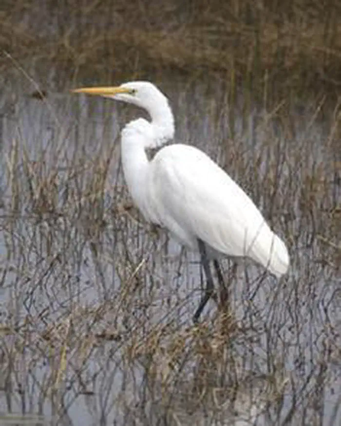
The St. Marks Wilderness now contains a total of 17,350 acres and is managed by the Fish & Wildlife Service's St. Marks National Wildlife Refuge. All of the Wilderness is in the state of Florida. In 1975 the St. Marks Wilderness became part of the now over 110 million acre National Wilderness Preservation System.
The U.S. Congress designated part of the St. Marks National Wildlife Refuge as the St. Marks Wilderness in 1975. The refuge is located along the Gulf coast of the Panhandle of Florida, 25 miles south of Tallahassee, the state capitol.
The diverse habitat and abundant wildlife populations make St. Marks NWR one of the most outstanding units of the National Wildlife Refuge System. Visitors view wildlife across primitive saltmarshes, and in hardwood swamps, freshwater pools and lakes, fragrant pine flatwoods and pine-oak uplands. The refuge also protects 32,000 acres of Apalachee Bay that runs along the 40-some mile long coast, where visitors will see pelicans, bottlenose dolphins, manatees, sea turtles. The bay is also a popular saltwater fishing destination.
Whether you are interested in birds, frogs, mammals, snakes, alligators, wildflowers, butterflies or just walking quietly in the woods, St. Marks NWR provides a generous variety of activities for visitors. Besides saltwater fishing, the refuge also boast year 'round freshwater fishing, hiking, birdwatching, seasonal hunting, and educational programs. Nesting birds include the Southern bald eagle, the red-cockaded woodpecker, wood ducks, ospreys and many song and shorebirds. Mammals such as white-tailed deer, black bear, river otter, bobcat, and foxes may be seen in their native habitats. In October, thousands of migrating monarch butterflies pause at St. Marks NWR to feed on their way to Mexico.
Forty-one miles of the Florida National Scenic Trail traverse St. Marks NWR from west to east, including through the eastern portion of the St. Marks Wilderness. Through hikers do qualify for camping permits. Otherwise, all visitor use is daylight use only. Entrance fees apply to the Lighthouse Rd. area of the refuge. The refuge visitor center is open every day except federal holidays and offers visitors many free publications,exhibits, a bookstore, and friendly information about the refuge.
Getting there
30.15154, -84.14733 · 30°9'5.5"N 84°8'50.4"W
Typical weather
| Jan | Feb | Mar | Apr | May | Jun | Jul | Aug | Sep | Oct | Nov | Dec | |
|---|---|---|---|---|---|---|---|---|---|---|---|---|
| High °F | — | — | — | — | — | — | — | — | — | — | — | — |
| Low °F | — | — | — | — | — | — | — | — | — | — | — | — |
| Precip in | 4.8 | 3.9 | 4.8 | 3.9 | 3.6 | 7.7 | 7.5 | 6.7 | 5.0 | 3.0 | 2.7 | 3.6 |
1991–2020 averages from the nearest NOAA station, 17.8 mi away — not measured at the facility itself, and elevation can make a real difference over that distance.
Map
Member photos
Common questions about St. Marks Wilderness
- Can you reserve a site at St. Marks Wilderness?
- No. St. Marks Wilderness is not reservable through Recreation.gov, so sites are first-come, first-served or booked elsewhere.
Camping near St. Marks Wilderness
- Camel Lake Campground 50.9 mi · Campground · we watch it
- Wright Lake Campground 52.2 mi · Campground · we watch it
- Faceville Landing Park 53.6 mi · Campground · we watch it
- Hales Landing Park 57 mi · Campground · we watch it
- Otter Hunt Camp 20.2 mi · Campground
- Pope Still Hunt Camp 20.2 mi · Campground
- Brown House Hunt Camp 24 mi · Campground
- Buckhorn Hunt Camp 26.3 mi · Campground
- Porter Lake 31.7 mi · Campground
- Harpers Hunt Camp 40.7 mi · Campground
- Twin Poles Hunt Camp 41.9 mi · Campground
- Cliff Lake Hunt Camp 46.9 mi · Campground
Contact
- Phone (850) 925-6121
- Email saintmarks@fws.gov
- Info Recreation.gov
Recreation.gov last updated this record on 2026-02-25.
Facility information and photographs from Recreation.gov (RIDB). SpotOpened is not affiliated with Recreation.gov or any federal agency.
Comments