Salt River Canyon Wilderness Permit
Permit · Arizona ·
Managed by the USDA Forest Service
Fort Apache Reservation (D2)
- 3,336 ft
- Elevation
Overview:
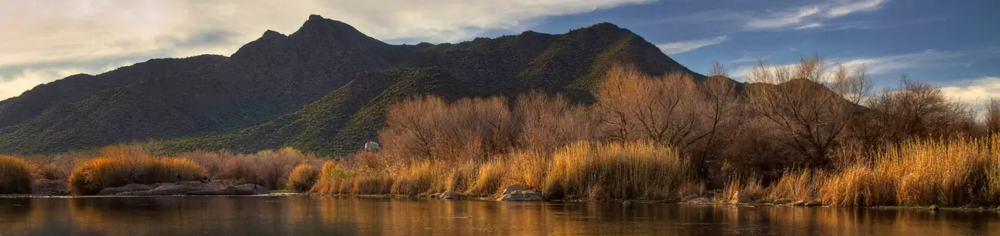
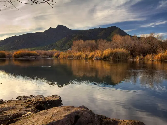
The Upper Salt River runs through the Salt River Canyon Wilderness, often referred to as Arizona's other Grand Canyon. While it lacks the size of the Grand Canyon, it certainly measures up in terms of outstanding, rugged geology and sheer scenic beauty. It is one of a few rivers to flow through the saguaro cactus forests of the Sonoran Desert, a truly exotic landscape.A Tonto National Forest Upper Salt River boater permit is required to float the Salt River Canyon Wilderness from March 1st to May 15th annually. The Upper Salt River is a solid Class III-IV river and requires whitewater boating skills. As the water level drops the river becomes more technically difficult, and at low water a few of the rapids approach Class V. Because it is a free flowing river, it also has the potential to go to flood stage and become very dangerous in just hours.
The weather varies greatly in the Sonoran Desert, and it is not uncommon to find yourself wearing shorts and a t-shirt, and later wearing your winter weather gear. It is a good idea to check the weather before you leave for your trip, as there is no cell phone service in the canyon. Water levels vary from year to year, so it is wise to check on the snow pack in Arizona's White Mountains.
You must launch on your permitted entry day. Typically boaters launch on river right from First Campground on Apache Road 1 just down from where the Highway 60 Bridge crosses the Upper Salt River. The take-out for the permitted wilderness section is just downstream of the Highway 288 Bridge on river left, 52.3 miles downstream from First Campground. Most people with boater permits plan a four or five day river trip.
There are no trails in the Salt River Canyon Wilderness, but many of the side canyons are great hikes. The wildflowers in the Sonoran Desert can be magical in the spring, and just walking out into the desert from any of the camps can lead to fabulous scenic hiking.
There are several grocery stores in Globe, the nearest town to the Salt River Canyon Wilderness. There are four companies with permits to shuttle visitors to launch and take-out points along the Upper Salt. These include: Wilderness Aware Rafting (800) 231-2738, Mild to Wild Rafting (800) 567-6745, Salt River Rafting (800) 425-5253 and Canyon Rio Rafting (800) 637-4604. The shuttle takes approximately three hours round-trip if you do not stop in town.
If you have questions, you may call the River Manager, Don Sullivan, at (928) 402-6236.
Getting there
33.80233, -110.50936 · 33°48'8.4"N 110°30'33.7"W
Typical weather
| Jan | Feb | Mar | Apr | May | Jun | Jul | Aug | Sep | Oct | Nov | Dec | |
|---|---|---|---|---|---|---|---|---|---|---|---|---|
| High °F | — | — | — | — | — | — | — | — | — | — | — | — |
| Low °F | — | — | — | — | — | — | — | — | — | — | — | — |
| Precip in | 4.8 | 4.4 | 3.5 | 1.1 | 0.7 | 0.4 | 2.9 | 3.6 | 2.1 | 1.8 | 2.6 | 4.5 |
1991–2020 averages from the nearest NOAA station, 23.6 mi away — not measured at the facility itself, and elevation can make a real difference over that distance.
Map
More photos
Member photos
Common questions about Salt River Canyon Wilderness Permit
- Can you reserve a site at Salt River Canyon Wilderness Permit?
- Yes, Salt River Canyon Wilderness Permit is reservable through Recreation.gov.
Camping near Salt River Canyon Wilderness Permit
- TIMBER CAMP RECREATION AREA and GROUP CAMPGROUNDS 8.7 mi · Campground · we watch it
- Reynolds Creek Group Camp (ID) 27.3 mi · Campground · we watch it
- Reynolds Creek Group Campground 27.3 mi · Campground · we watch it
- Schoolhouse Campground (AZ) 30.7 mi · Campground · we watch it
- Grapevine Group Campground 32.8 mi · Campground · we watch it
- Windy Hill Campground 34.5 mi · Campground · we watch it
- Gentry Group Campground 36.2 mi · Campground · we watch it
- Frazier Group Campground 36.8 mi · Campground · we watch it
- Jones Water Campground 16.5 mi · Campground
- Valentine Ridge Dispersed Camping Area 34.6 mi · Campground
- Visitor Center 36.4 mi · Facility
- Gentry Campground 36.4 mi · Campground
Contact
- Book Recreation.gov
Recreation.gov last updated this record on 2026-02-25.
Facility information and photographs from Recreation.gov (RIDB). SpotOpened is not affiliated with Recreation.gov or any federal agency.
Comments