Fort Bowie National Historic Site Visitor Center
Facility · Arizona ·
Managed by the National Park Service
Fort Bowie National Historic Site (National Historic Site) · Restricted Access
- 5,010 ft
- Elevation
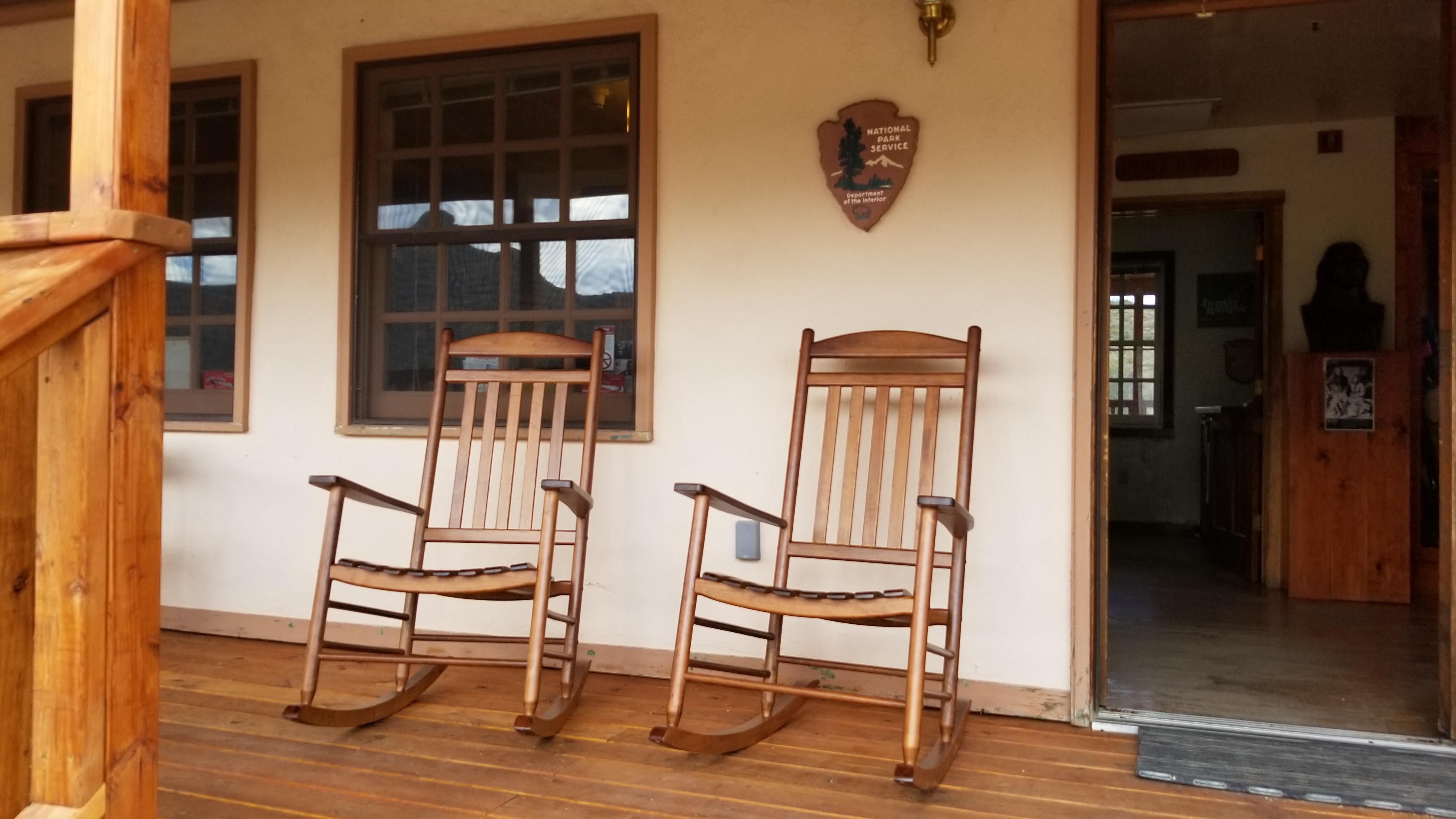
The visitor center is best accessed via the Fort Bowie Trail. The story of Apache Pass and the events that led to the establishment of Fort Bowie are best understood via a 3-mile roundtrip hike from the trailhead on Apache Pass Road to the visitor center and Second Fort Ruins.
For those who cannot hike the trail visit our directions page for more info: https://www.nps.gov/fobo/planyourvisit/accessibility.htm
Getting there
From Willcox, AZ / points west on I-10: drive 23 miles east of Willcox on Interstate 10 to the the town of Bowie. Exit at the first Bowie exit and drive through the town. Follow the signs for Fort Bowie National Historic Site and turn south on Apache Pass Road. Drive 13 miles to the Fort Bowie Trailhead (the last mile of the road is unpaved). Be prepared to walk the three miles round trip to the ruins and back to your car.
32.14593, -109.43637 · 32°8'45.4"N 109°26'10.9"W
Typical weather
Typically 91°F in Jun, down to 56°F in Dec.
| Jan | Feb | Mar | Apr | May | Jun | Jul | Aug | Sep | Oct | Nov | Dec | |
|---|---|---|---|---|---|---|---|---|---|---|---|---|
| High °F | 56 | 61 | 67 | 74 | 83 | 91 | 90 | 87 | 84 | 76 | 66 | 56 |
| Low °F | 30 | 33 | 37 | 41 | 49 | 57 | 60 | 60 | 57 | 47 | 38 | 31 |
| Precip in | 1.3 | 1.3 | 1.2 | 0.3 | 0.3 | 0.9 | 3.8 | 4.6 | 1.6 | 1.0 | 1.0 | 1.5 |
1991–2020 averages from the nearest NOAA station, 10.7 mi away — not measured at the facility itself, and elevation can make a real difference over that distance.
Map
Member photos
Common questions about Fort Bowie National Historic Site Visitor Center
- Can you reserve a site at Fort Bowie National Historic Site Visitor Center?
- No. Fort Bowie National Historic Site Visitor Center is not reservable through Recreation.gov, so sites are first-come, first-served or booked elsewhere.
Camping near Fort Bowie National Historic Site Visitor Center
- Bonita Canyon Campground 10.5 mi · Campground · we watch it
- Portal CCC House 23.4 mi · Campground · we watch it
- Portal Bunkhouse 23.4 mi · Campground · we watch it
- Chiricahua National Monument Visitor Center 10.8 mi · Facility
- Rustler Park Campground 19.1 mi · Campground
- Sycamore Campground 20.7 mi · Campground
- Herb Martyr Campground 22.3 mi · Campground
- Idlewilde Campground 23.5 mi · Campground
- Stewart Campground 23.6 mi · Campground
- Sunny Flat Campground 23.6 mi · Campground
- Hot Well Dunes Campground 26 mi · Campground
- Walnut Grove Campground 27.1 mi · Campground
Contact
- Phone (520) 549-6751
- Email chir_info@nps.gov
- Info Recreation.gov
Recreation.gov last updated this record on 2026-02-25.
Facility information and photographs from Recreation.gov (RIDB). SpotOpened is not affiliated with Recreation.gov or any federal agency.
Comments