River Road
Campground · Arkansas · 21 bookable sites ·
Managed by the US Army Corps of Engineers
Nimrod State Game Management Area (3308) · Restricted Access
- 21
- Bookable sites
- 78 ft
- Max rig length
- up to 50
- People per site
- 328 ft
- Elevation
Overview
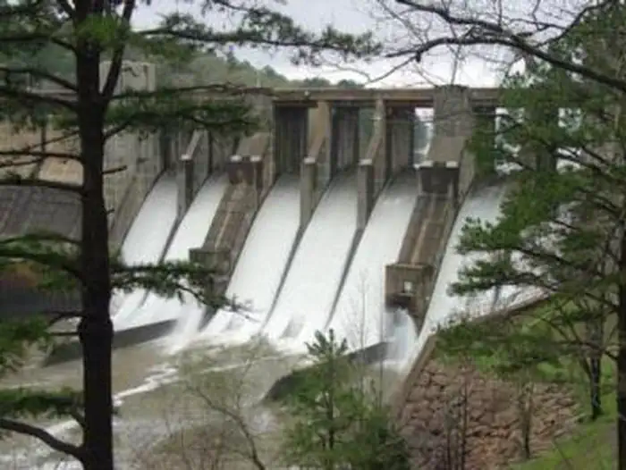
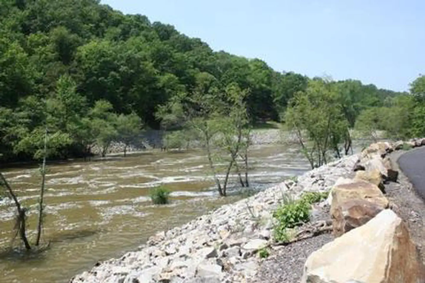
River Road Campground sits along the shores of Fourche LaFave River and Nimrod Dam, cradled between Arkansas' Ouachita and Ozark Mountains. Visitors are greeted with shaded campsites, beautiful scenery and many outdoor recreation opportunities. Nimrod Lake provides the ideal spot to get away from it all, relax and enjoy yourself.Recreation
Fishing is one of the most popular activities at the lake, with an abundance of crappie, largemouth bass, catfish and bream available. Boating, water skiing and tubing are also popular, with 11 boat ramps conveniently located around the lake, however, skiing and tubing are only allowed from the tip of Carden Point eastward toward the dam because areas west of there are too hazardous. Campers are likely to spot white-tailed deer, eastern wild turkey, bobwhite quail, squirrel, rabbit, fox, mink, black bear, dove and waterfowl in the area. Seasonal hunting is also permitted throughout the forested area around the lake, except in or near recreation areas.Facilities
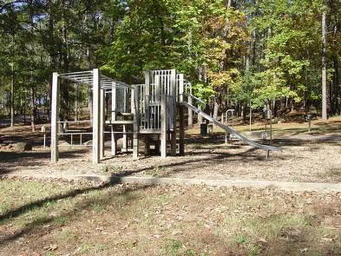
With 21 spacious and modern campsites (15 campsites in the River Road Loop and 6 campsites in the Project Point Loop) and one large day use group picnic shelter, River Road Campground has plenty of room for the family. A boat ramp into the river and playground are also provided.Natural Features
Nimrod Dam was completed in 1942 as part of a comprehensive plan for flood control and development of water resources in the Fourche LaFave River. Although recreation was not part of the initial mission of the dam project, the lake and surrounding 21,000 acres of pristine land have now become a recreational oasis for outdoor enthusiasts.Nearby Attractions
Nimrod Lake is conveniently located adjacent to State Highway 7, a National Scenic Byway and other nearby points of interest like Petit Jean State Park, Mount Nebo State Park and Hot Springs National Park.The facts
- 21 bookable sites
- 22 sites in total, including non-bookable
- 1 site for day use only
- Vehicles up to 78 ft
- Up to 50 people per site
- Loops: PROJ, RROA
Site types
- 20 Standard Electric
- 1 Group Shelter Electric
- 1 Management
Amenities
- Electric hookups
- Water hookups
- Campfires allowed
- Picnic tables
- Grills
- Shade
- Pets allowed
Not recorded upstream: sewer hookups, fire pits.
22 campsites at River Road
| Site | Loop | Type | Entry | Surface | Grade | Max rig | People | |
|---|---|---|---|---|---|---|---|---|
| P01 | PROJ | Standard Electric | Back In | Paved | — | 35 ft | 8 | 🐾 |
| P02 | PROJ | Standard Electric | Back In | Paved | Moderate | 26 ft | 8 | 🐾 |
| P03 | PROJ | Standard Electric | Back In | Paved | Moderate | 35 ft | 8 | 🐾 |
| P04 | PROJ | Standard Electric | Back In | Paved | Moderate | 33 ft | 8 | 🐾 |
| P05 | PROJ | Standard Electric | Pull Through | Paved | — | 78 ft | 8 | 🐾 |
| P06 | PROJ | Standard Electric | Back In | Paved | — | 27 ft | 8 | 🐾 |
| 001 | RROA | Standard Electric | Back In | Paved | — | 50 ft | 16 | 🐾 |
| 002 | RROA | Standard Electric | Back In | Paved | Slight | 63 ft | 8 | 🐾 |
| 003 | RROA | Standard Electric | Back In | Paved | Slight | 44 ft | 8 | 🐾 |
| 004 | RROA | Standard Electric | Parallel | Paved | Moderate | 40 ft | 8 | 🐾 |
| 005 | RROA | Standard Electric | Parallel | Paved | Moderate | 50 ft | 8 | 🐾 |
| 006 | RROA | Management | Back In | Paved | Slight | 60 ft | 8 | 🐾 |
| 007 | RROA | Standard Electric | Back In | Paved | — | 50 ft | 8 | 🐾 |
| 008 | RROA | Standard Electric | Pull Through | Paved | — | 58 ft | 16 | 🐾 |
| 009 | RROA | Standard Electric | Back In | Paved | — | 47 ft | 8 | 🐾 |
| 010 | RROA | Standard Electric | Back In | Paved | — | 28 ft | 8 | 🐾 |
| 011 | RROA | Standard Electric | Back In | Paved | — | 40 ft | 8 | 🐾 |
| 012 | RROA | Standard Electric | Back In | Paved | Slight | 60 ft | 8 | 🐾 |
| 013 | RROA | Standard Electric | Back In | Paved | Slight | 42 ft | 8 | 🐾 |
| 014 | RROA | Standard Electric | Pull Through | Paved | Slight | 75 ft | 8 | 🐾 |
| 015 | RROA | Standard Electric | Back In | Paved | Slight | 39 ft | 8 | 🐾 |
| GS001 | RROA | Group Shelter Electric | — | — | — | — | 50 | 🐾 |
Getting there
From Ola, Arkansas, take Route 7 south for 9 miles to the Access Road and follow the signs to the campground.
34.95162, -93.15423 · 34°57'5.8"N 93°9'15.2"W
Typical weather
Typically 94°F in Jul, down to 52°F in Jan.
| Jan | Feb | Mar | Apr | May | Jun | Jul | Aug | Sep | Oct | Nov | Dec | |
|---|---|---|---|---|---|---|---|---|---|---|---|---|
| High °F | 52 | 57 | 66 | 75 | 82 | 90 | 94 | 94 | 87 | 76 | 64 | 54 |
| Low °F | 31 | 34 | 41 | 50 | 60 | 68 | 72 | 70 | 63 | 51 | 40 | 33 |
| Precip in | 3.8 | 3.9 | 4.9 | 5.4 | 6.2 | 4.2 | 3.7 | 3.6 | 4.0 | 4.5 | 5.1 | 5.0 |
1991–2020 averages from the nearest NOAA station, 0.4 mi away — not measured at the facility itself, and elevation can make a real difference over that distance.
Map
More photos
Member photos
Common questions about River Road
- Can you reserve a site at River Road?
- Yes, River Road is reservable through Recreation.gov.
- How many campsites does River Road have?
- 22 sites in total, of which 21 can be booked.
- What is the maximum RV length at River Road?
- 78 ft. That is the longest vehicle the sites here are recorded as taking; individual sites may be shorter.
- Are pets allowed at River Road?
- Yes, pets are allowed at River Road.
- Does River Road have hookups?
- Electric, Water.
- Are campfires allowed at River Road?
- Campfires are allowed at River Road. Check for a current fire restriction before you go.
Camping near River Road
- Quarry Cove 0.8 mi · Campground · we watch it
- Carden Point 2.4 mi · Campground · we watch it
- Carter Cove 4.9 mi · Campground · we watch it
- Sunlight Bay 8.5 mi · Campground · we watch it
- Old Post Road 20.4 mi · Campground · we watch it
- Spring Lake Recreation Area 20.6 mi · Campground · we watch it
- Cherokee (Arkansas River) 24.2 mi · Campground · we watch it
- Brady Mountain 26.3 mi · Campground · we watch it
- South Fourche Recreation Area 6.2 mi · Campground
- Fourche Mountain Recreation Area 13.9 mi · Campground
- Lake Sylvia Recreation Area 19.7 mi · Campground
- Huckleberry Walk-in Turkey Hunting Area 25.5 mi · Facility
Contact
- Phone 479-272-4835
- Book Recreation.gov
Recreation.gov last updated this record on 2026-02-25.
Facility information and photographs from Recreation.gov (RIDB). SpotOpened is not affiliated with Recreation.gov or any federal agency.
Comments