Blanchard Springs Recreation Area
Campground · Arkansas · 23 bookable sites ·
Managed by the USDA Forest Service
Ozark National Forest (NF) · Open Access
- 23
- Bookable sites
- 25 ft
- Max rig length
- up to 125
- People per site
- 3
- Accessible sites
- 631 ft
- Elevation
Overview
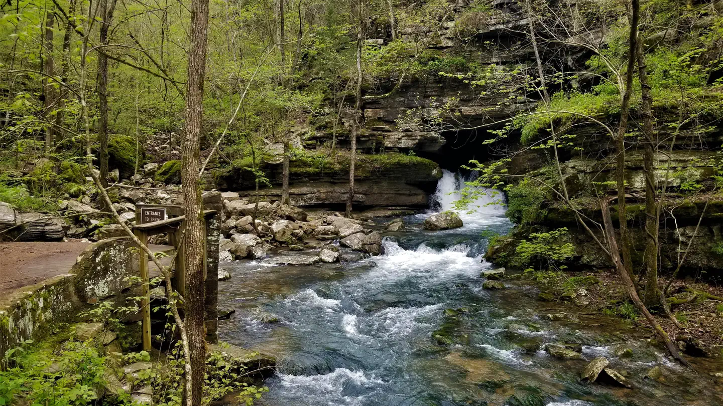
Blanchard Springs Recreation Area is located in the scenic Ozark National Forest. The Ozark Mountains are known for beautiful "rolling" hills, hidden caverns, waterfalls and clear flowing streams. Examples of early Ozark culture and music can be found throughout the region. Blanchard recreation area is a great starting point for an Ozark adventure.Recreation
Trout fishing is available on nearby Mirror Lake.Other popular activities in the Blanchard area include mountain biking, hiking and swimming.
Facilities
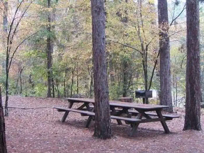
The campgrounds offer a variety of campsites to accommodate all types of visitors, including group and single campsites. All sites are equipped with tables, grills and campfire rings. Individual sites are on a first come, first served basis. The individual sites are open except when there is high water. To check campground status, call 870 757 2211. The picnic shelters have grills and ample picnic tables for groups. Flush toilets and drinking water are provided.Natural Features
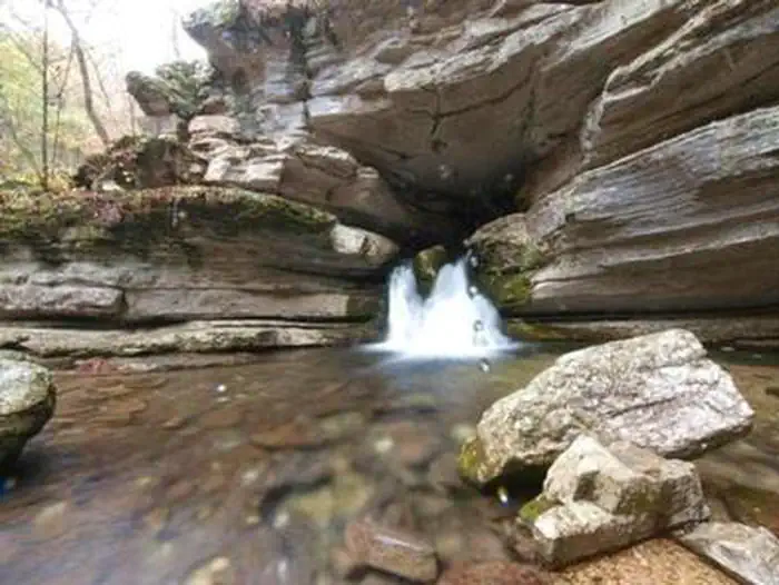
The facilities are near picturesque rock bluffs and crystal clear streams. Sites are well shaded by stately yellow pine trees.Nearby Attractions
Blanchard Springs Caverns offers tours, exhibits and family activities. North Sylamore hiking trail follows the scenic Sylamore creek for 25 miles and connects to the Ozark Highland trail. Mountain biking is available on 50 miles of the Syllamo Mountain Bike Trail.The facts
- 23 bookable sites
- 24 sites in total, including non-bookable
- 3 sites for day use only
- 3 accessible sites
- Vehicles up to 25 ft
- Up to 125 people per site
- Loops: Day Use, Group Camp, S&P, Upper Loop
Site types
- 18 Standard Nonelectric
- 2 Group Shelter Electric
- 2 Group Standard Area Nonelectric
- 1 Group Walk To
- 1 Management
Amenities
- Electric hookups
- Water hookups
- Campfires allowed
- Fire pits
- Picnic tables
- Grills
- Shade
- Pets allowed
Not recorded upstream: sewer hookups.
24 campsites at Blanchard Springs Recreation Area
| Site | Loop | Type | Entry | Surface | Grade | Water | Max rig | People | |
|---|---|---|---|---|---|---|---|---|---|
| Amphitheater | Day Use | Group Walk To | — | Paved | — | — | 20 ft | 100 | ♿ 🐾 |
| Large Pavillion | Day Use | Group Shelter Electric | — | Paved | — | — | 20 ft | 125 | ♿ 🐾 |
| Small Pavillion | Day Use | Group Shelter Electric | — | Paved | — | — | 20 ft | 50 | ♿ 🐾 |
| GS 1 | Group Camp | Group Standard Area Nonelectric | Pull Through | Gravel | Slight | Riverfront | 25 ft | 50 | 🐾 |
| GS 2 | Group Camp | Group Standard Area Nonelectric | Pull Through | Gravel | Slight | Riverfront | 25 ft | 30 | 🐾 |
| Single, S&P | S&P | Management | Back In | Paved | Slight | Riverfront | 25 ft | 8 | 🐾 |
| 15 | Upper Loop | Standard Nonelectric | Back In | Paved | Slight | Riverfront | 25 ft | 8 | 🐾 |
| 16 | Upper Loop | Standard Nonelectric | Back In | Paved | Slight | Riverfront | 25 ft | 8 | 🐾 |
| 17 | Upper Loop | Standard Nonelectric | Back In | Paved | Slight | Riverfront | 25 ft | 8 | 🐾 |
| 18 | Upper Loop | Standard Nonelectric | Back In | Paved | Slight | Riverfront | 25 ft | 8 | 🐾 |
| 19 | Upper Loop | Standard Nonelectric | Back In | Paved | Slight | Riverfront | 25 ft | 8 | 🐾 |
| 20 | Upper Loop | Standard Nonelectric | Back In | Paved | Slight | Riverfront | 25 ft | 8 | 🐾 |
| 21 | Upper Loop | Standard Nonelectric | Back In | Paved | Slight | Riverfront | 25 ft | 8 | 🐾 |
| 22 | Upper Loop | Standard Nonelectric | Back In | Paved | Slight | Riverfront | 25 ft | 8 | 🐾 |
| 23 | Upper Loop | Standard Nonelectric | Back In | Paved | Slight | Riverfront | 25 ft | 8 | 🐾 |
| 24 | Upper Loop | Standard Nonelectric | Back In | Paved | Slight | Riverfront | 25 ft | 8 | 🐾 |
| 25 | Upper Loop | Standard Nonelectric | Back In | Paved | Slight | Riverfront | 25 ft | 8 | 🐾 |
| 26 | Upper Loop | Standard Nonelectric | Back In | Paved | Slight | Riverfront | 25 ft | 12 | 🐾 |
| 27 | Upper Loop | Standard Nonelectric | Pull Through | Paved | Slight | Riverfront | 25 ft | 8 | 🐾 |
| 28 | Upper Loop | Standard Nonelectric | Back In | Paved | Slight | Riverfront | 25 ft | 8 | 🐾 |
| 29 | Upper Loop | Standard Nonelectric | Back In | Paved | Slight | Riverfront | 25 ft | 8 | 🐾 |
| 30 | Upper Loop | Standard Nonelectric | Back In | Paved | Slight | Riverfront | 25 ft | 8 | 🐾 |
| 31 | Upper Loop | Standard Nonelectric | Back In | Paved | Slight | Riverfront | 25 ft | 8 | 🐾 |
| 32 | Upper Loop | Standard Nonelectric | Back In | Paved | Slight | Riverfront | 25 ft | 8 | 🐾 |
Getting there
From Mountain View, take Highway 5-9-14 north for 5 miles to Allison. At Allison, take Highway 14 west for 8 miles toward the town of Fifty Six. Turn right at the Blanchard Springs Recreation Area sign. Be sure to bring a map, GPS directions have led many visitors off-course.
35.97438, -92.17720 · 35°58'27.8"N 92°10'37.9"W
Typical weather
| Jan | Feb | Mar | Apr | May | Jun | Jul | Aug | Sep | Oct | Nov | Dec | |
|---|---|---|---|---|---|---|---|---|---|---|---|---|
| High °F | — | — | — | — | — | — | — | — | — | — | — | — |
| Low °F | — | — | — | — | — | — | — | — | — | — | — | — |
| Precip in | 3.8 | 3.5 | 5.4 | 5.7 | 5.6 | 3.6 | 4.5 | 4.2 | 3.8 | 4.0 | 4.9 | 4.5 |
1991–2020 averages from the nearest NOAA station, 3.7 mi away — not measured at the facility itself, and elevation can make a real difference over that distance.
Map
More photos
Member photos
Common questions about Blanchard Springs Recreation Area
- Can you reserve a site at Blanchard Springs Recreation Area?
- Yes, Blanchard Springs Recreation Area is reservable through Recreation.gov.
- How many campsites does Blanchard Springs Recreation Area have?
- 24 sites in total, of which 23 can be booked.
- What is the maximum RV length at Blanchard Springs Recreation Area?
- 25 ft. That is the longest vehicle the sites here are recorded as taking; individual sites may be shorter.
- Are pets allowed at Blanchard Springs Recreation Area?
- Yes, pets are allowed at Blanchard Springs Recreation Area.
- Does Blanchard Springs Recreation Area have hookups?
- Electric, Water.
- Are campfires allowed at Blanchard Springs Recreation Area?
- Campfires are allowed at Blanchard Springs Recreation Area. Check for a current fire restriction before you go.
Camping near Blanchard Springs Recreation Area
- Blanchard Springs Caverns 0.8 mi · Tickets · we watch it
- Gunner Pool Campground 2.4 mi · Campground · we watch it
- Barkshed Campground 5.1 mi · Campground · we watch it
- Dam - Quarry 19.9 mi · Campground · we watch it
- Buffalo Point 23 mi · Campground · we watch it
- Hill Creek 25.2 mi · Campground · we watch it
- Robinson Point 26.4 mi · Campground · we watch it
- Blanchard Springs Campgrounds 0.1 mi · Campground
- Gunner Pool Recreation Area 2.4 mi · Facility
- Norfork National Fish Hatchery 19.3 mi · Facility
- Rush Campground 23.2 mi · Campground
- South Maumee 26 mi · Facility
Contact
- Phone 870-757-2211
- Book Recreation.gov
Recreation.gov last updated this record on 2026-02-25.
Facility information and photographs from Recreation.gov (RIDB). SpotOpened is not affiliated with Recreation.gov or any federal agency.
Comments