Spillway Falls
Campground · Alabama · 1 bookable site ·
Managed by the US Army Corps of Engineers
- 1
- Bookable site
- 79 ft
- Elevation
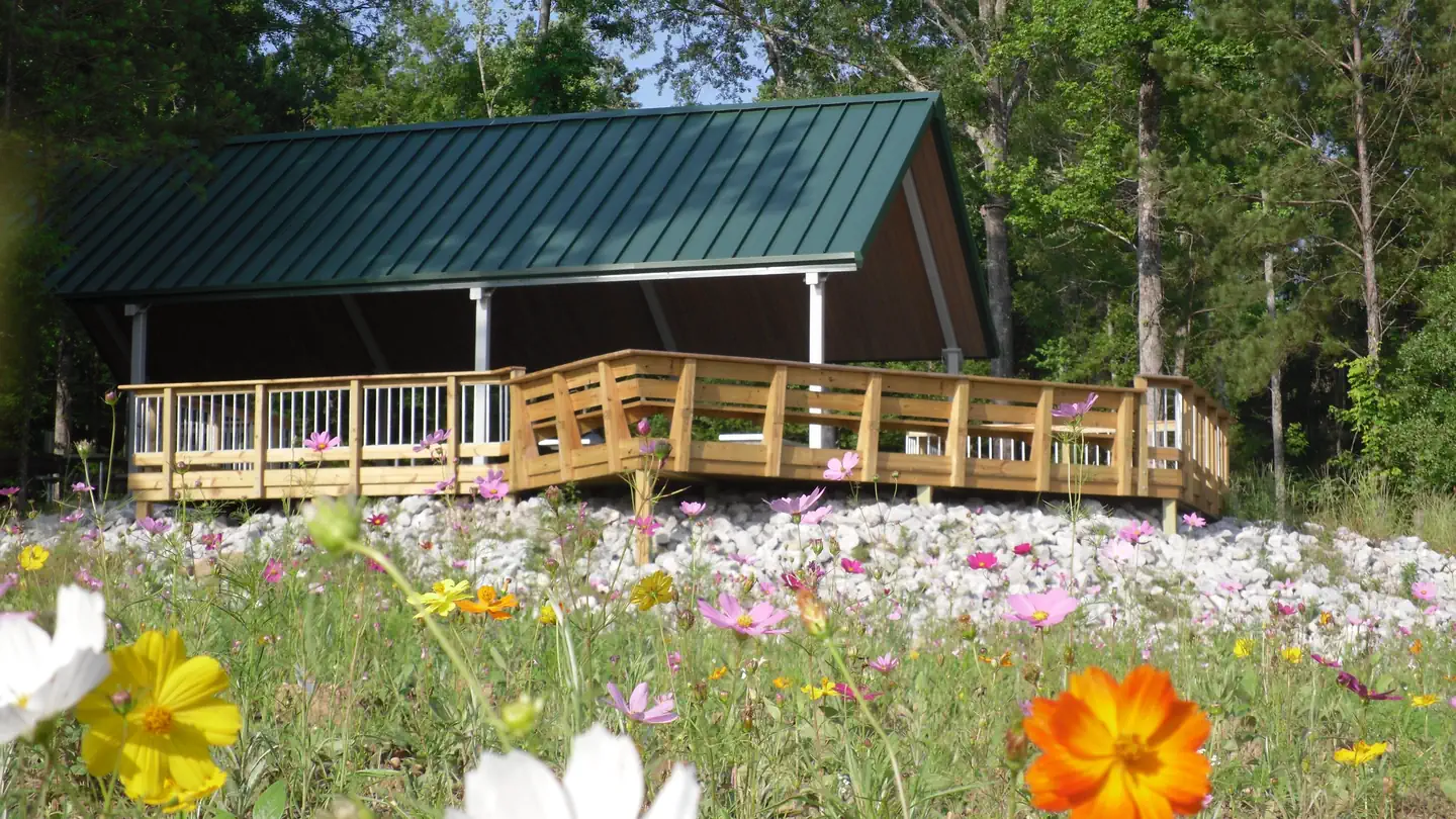
Overview
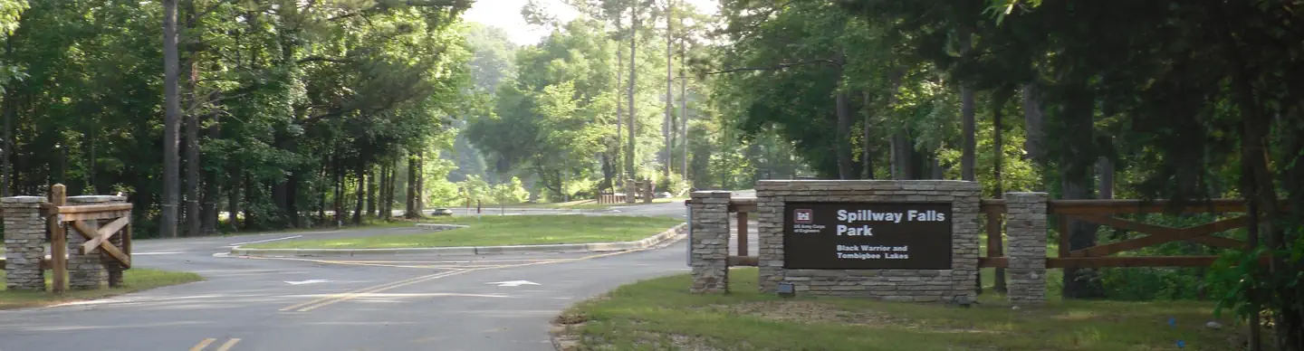
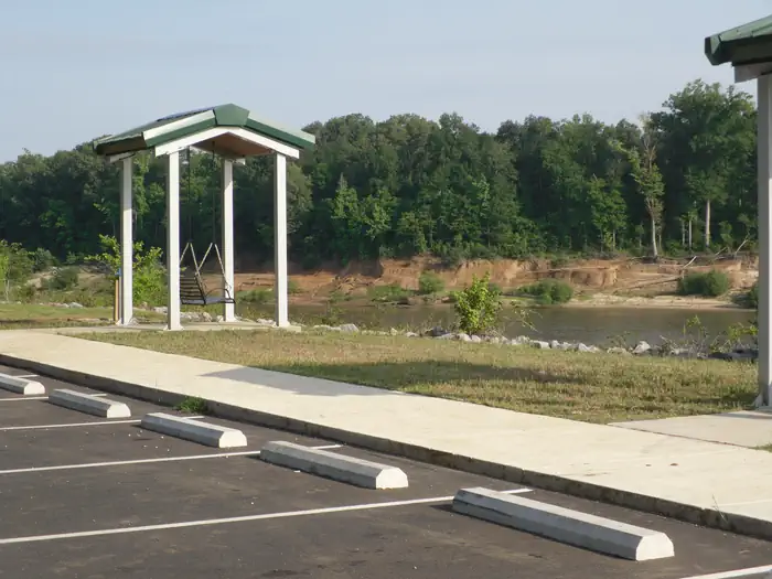
Spillway Falls Park overlooks the Tombigbee River and the falls created by the Demopolis Lock and Dam. Beautiful vistas make this a perfect site to birdwatch or just relax. The park offers individual picnic shelters, a large group shelter, a 3.5 mile hiking trail system, boat ramp, paved parking, and two flush toilets. On-site park hosts control after-hours access.
The facts
- 1 bookable site
- 1 site for day use only
- Loops: Spillway Falls
Site types
- 1 Group Shelter Nonelectric
1 campsite at Spillway Falls
Check-in 07:00 AM · Check-out 06:00 PM
| Site | Loop | Type | Entry | Surface | Max rig | People | |
|---|---|---|---|---|---|---|---|
| Spillway Falls Shelter | Spillway Falls | Group Shelter Nonelectric | — | — | — | — |
Getting there
32.51764, -87.89184 · 32°31'3.5"N 87°53'30.6"W
Typical weather
Typically 92°F in Jul, down to 57°F in Jan.
| Jan | Feb | Mar | Apr | May | Jun | Jul | Aug | Sep | Oct | Nov | Dec | |
|---|---|---|---|---|---|---|---|---|---|---|---|---|
| High °F | 57 | 61 | 69 | 77 | 84 | 90 | 92 | 91 | 87 | 78 | 67 | 59 |
| Low °F | 34 | 37 | 44 | 51 | 60 | 68 | 71 | 70 | 65 | 53 | 42 | 36 |
| Precip in | 5.7 | 5.5 | 5.8 | 4.8 | 3.6 | 4.7 | 5.0 | 4.8 | 3.4 | 3.3 | 4.3 | 5.4 |
1991–2020 averages from the nearest NOAA station, 0.7 mi away — not measured at the facility itself, and elevation can make a real difference over that distance.
Map
More photos
Member photos
Common questions about Spillway Falls
- Can you reserve a site at Spillway Falls?
- Yes, Spillway Falls is reservable through Recreation.gov.
- How many campsites does Spillway Falls have?
- 1 site.
Camping near Spillway Falls
- Foscue Creek 1.3 mi · Campground · we watch it
- Belmont Park 2.7 mi · Campground · we watch it
- Forkland 7.5 mi · Campground · we watch it
- Lock 6 14.5 mi · Campground · we watch it
- Jennings Ferry 20.6 mi · Campground · we watch it
- Finches Ferry 22.7 mi · Campground · we watch it
- Lock 8 26.9 mi · Campground · we watch it
- Millers Ferry Campground 40.4 mi · Campground · we watch it
- East Bank Beach Shelters 40.4 mi · Campground · we watch it
- Chilatchee Creek 44.5 mi · Campground · we watch it
- Payne Lake Recreation Area 36.5 mi · Facility
- South Sandy Shooting Range 41 mi · Facility
Contact
- Phone Resource Office 334-289-3540
- Email bwthelp@usace.army.mil
- Book Recreation.gov
Recreation.gov last updated this record on 2026-02-25.
Facility information and photographs from Recreation.gov (RIDB). SpotOpened is not affiliated with Recreation.gov or any federal agency.
Comments