Tuxedni Wilderness
Facility · Alaska ·
Managed by the Fish and Wildlife Service
Tuxedni Wilderness Area (WILDERNESS AREA) · Restricted Access
- 1,748 ft
- Elevation
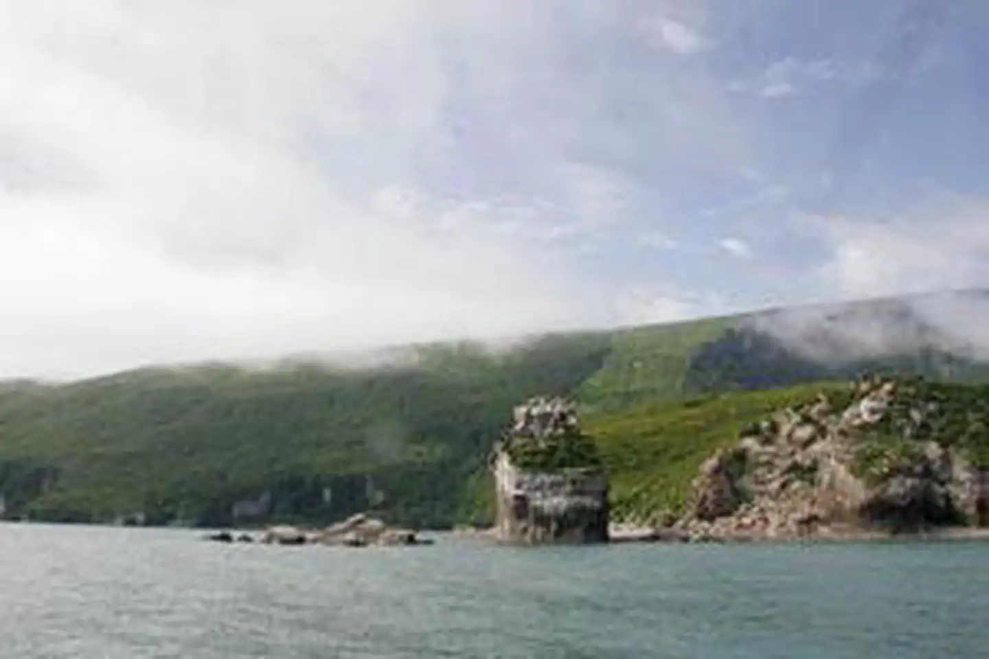
The Tuxedni Wilderness now contains a total of 5,566 acres and is managed by the Fish & Wildlife Service's Alaska Maritime National Wildlife Refuge. All of the Wilderness is in the state of Alaska. In 1970 the Tuxedni Wilderness became part of the now over 110 million acre National Wilderness Preservation System.
In 1909 two islands at the mouth of Tuxedni Bay off of Cook Inlet--Chisik and Duck--were established as a refuge for seabirds, bald eagles, and peregrine falcons. In 1970 they were designated Wilderness and in 1980 became a subunit of the Gulf of Alaska Unit of the Alaska Maritime National Wildlife Refuge. Most of the refuge lies on Chisik Island (tiny, six-acre Duck Island is a rocky dot with almost no vegetation). Chisik slopes upward out of Cook Inlet from sandy beaches on the southern end to 400-foot cliffs on the northern end. A cannery located on the southern end occupies a small non-Wilderness area of the island.
An understory of salmonberry, alder, and other brushy growth forms an impenetrable, wet jungle over much of Chisik, filling the few openings in the spruce-hemlock forest. The higher elevations are alpine tundra from which the volcanoes of Mounts Redoubt and Iliamna in Lake Clark Wilderness often can be seen. Chisik Island has no trails. Camping is unrestricted. Hunting is not allowed, but fishing is permitted, with salmon being sought most often. Small planes and boats land here, but sudden winds and rough waters make access risky.
Getting there
A journey to the far-flung lands of the Tuxedni Island Wilderness within the Alaska Maritime Refuge almost always involves a boat. Tour boats, ferries, planes , cruise ships or your own boat can transport you to parts of the refuge. No refuge lands are accessible from the road system. Homer and Seward are the only road accessible communities near the refuge. All other communities in and near the refuge are accessible by scheduled air service and some such as Sitka, Seldovia, Kodiak, Chignik, Sand Point, King Cove, Cold Bay, False Pass, Akutan and Unalaska also have ferry service.
For those not ready to set sail, the Alaska Islands & Ocean Visitor Center and Refuge headquarter at 95 Sterling Highway # 1, Homer, Alaska, can be reached by vehicle and scheduled aircraft from Anchorage (225 miles).
60.14800, -152.59289 · 60°8'52.8"N 152°35'34.4"W
Typical weather
Typically 61°F in Jul, down to 28°F in Jan.
| Jan | Feb | Mar | Apr | May | Jun | Jul | Aug | Sep | Oct | Nov | Dec | |
|---|---|---|---|---|---|---|---|---|---|---|---|---|
| High °F | 28 | 31 | 33 | 42 | 51 | 57 | 61 | 60 | 53 | 42 | 33 | 29 |
| Low °F | 18 | 20 | 21 | 29 | 36 | 42 | 47 | 46 | 41 | 32 | 23 | 20 |
| Precip in | 2.1 | 1.9 | 1.2 | 1.4 | 1.2 | 1.6 | 2.3 | 3.3 | 4.6 | 3.6 | 3.2 | 3.3 |
1991–2020 averages from the nearest NOAA station, 43.3 mi away — not measured at the facility itself, and elevation can make a real difference over that distance.
Map
Member photos
Common questions about Tuxedni Wilderness
- Can you reserve a site at Tuxedni Wilderness?
- No. Tuxedni Wilderness is not reservable through Recreation.gov, so sites are first-come, first-served or booked elsewhere.
Camping near Tuxedni Wilderness
- Priest Rock Cabin 55.5 mi · Campground · we watch it
- Kenai National Wildlife Refuge Cabins 56.4 mi · Campground · we watch it
- Aleutian Islands Wilderness 50.6 mi · Facility
- Hazy Islands Wilderness 50.6 mi · Facility
- Semidi Wilderness 50.6 mi · Facility
- Kenai Wilderness 56.4 mi · Facility
- Port Alsworth Visitor Center 59.5 mi · Facility
Contact
- Phone 907-235-6546
- Email alaskamaritime@fws.gov
- Info Recreation.gov
Recreation.gov last updated this record on 2026-02-25.
Facility information and photographs from Recreation.gov (RIDB). SpotOpened is not affiliated with Recreation.gov or any federal agency.
Comments