Semidi Wilderness
Facility · Alaska ·
Managed by the Fish and Wildlife Service
Ninilchik Alaska Native Village Statistical Area (E1)
- 62 ft
- Elevation
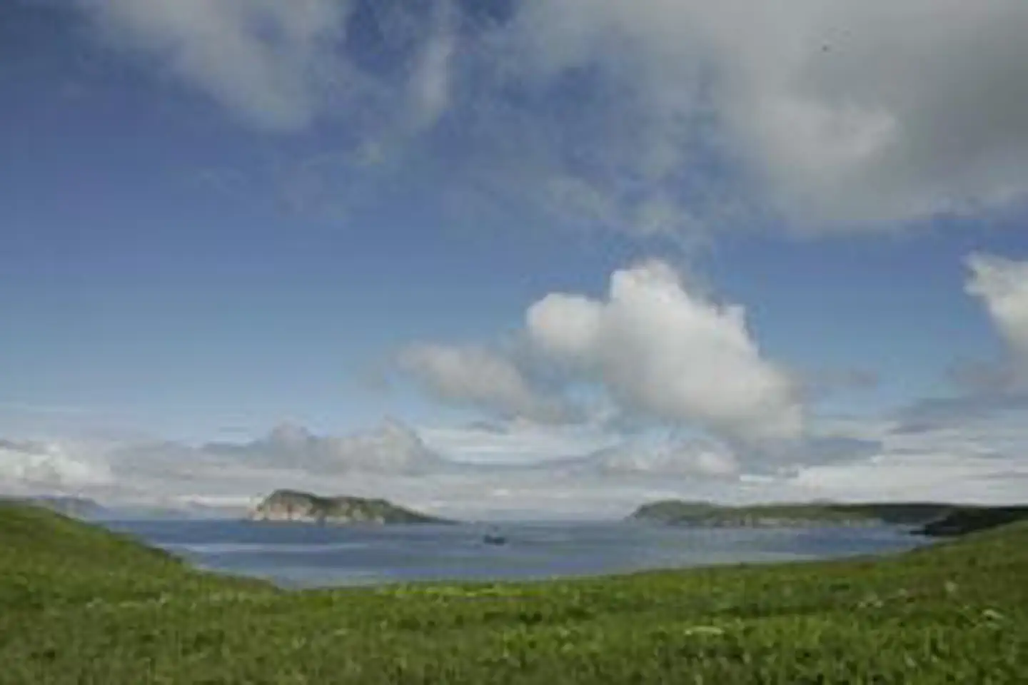
The Semidi Wilderness now contains a total of 250,000 acres and is managed by the Fish & Wildlife Service's Alaska Maritime National Wildlife Refuge. All of the Wilderness is in the state of Alaska. In 1980 the Semidi Wilderness became part of the now over 110 million acre National Wilderness Preservation System.
Nine major treeless and ragged rock islands, some sided with precipitous cliffs, were combined with many small rocks and islets to form Semidi Islands National Wildlife Refuge in 1932. In 1980 these lands became a subunit of the 715,000-acre Alaska Peninsula Unit of the Alaska Maritime National Wildlife Refuge and a Wilderness area. More than 2.4 million birds, almost half the breeding seabirds of the Alaska Peninsula Unit, nest on the Semidis. Aghiluk Island alone, the largest of the Semidis, is home to more than half a million birds. About 370,000 horned puffins nest in the Semidis along with almost all of the unit's northern fulmars and jaegers, and one million-plus murres. Ancient murrelets and parakeet auklets are among the other species found here. Seabird populations would be even higher, but fox farmers in the 1880s released their animals on some of the larger Semidis, and their descendants consume many eggs and birds annually.
Semidi Islands Wilderness Area is not great in land mass but includes approximately one-quarter million acres of surrounding seabed, providing at least temporary homes for sea otters, sea lions, seals, porpoises, and whales. Exposed to the stormy Gulf of Alaska, drenched by frequent rains, remote and difficult to reach, lying in poorly charted waters, this region is seen by few humans. The dangerous crossing of an unpredictable stretch of sea is simply too great a risk for most.
Getting there
59.64111, -151.54005 · 59°38'28.0"N 151°32'24.2"W
Typical weather
Typically 63°F in Jul, down to 32°F in Jan.
| Jan | Feb | Mar | Apr | May | Jun | Jul | Aug | Sep | Oct | Nov | Dec | |
|---|---|---|---|---|---|---|---|---|---|---|---|---|
| High °F | 32 | 35 | 37 | 46 | 54 | 59 | 63 | 63 | 57 | 47 | 38 | 34 |
| Low °F | 19 | 22 | 23 | 31 | 38 | 45 | 49 | 48 | 42 | 33 | 25 | 21 |
| Precip in | 2.1 | 1.8 | 1.3 | 1.1 | 0.8 | 0.9 | 1.4 | 2.3 | 3.3 | 2.6 | 2.9 | 3.3 |
1991–2020 averages from the nearest NOAA station, 1.7 mi away — not measured at the facility itself, and elevation can make a real difference over that distance.
Map
Member photos
Common questions about Semidi Wilderness
- Can you reserve a site at Semidi Wilderness?
- No. Semidi Wilderness is not reservable through Recreation.gov, so sites are first-come, first-served or booked elsewhere.
Camping near Semidi Wilderness
- Kenai National Wildlife Refuge Cabins 59.1 mi · Campground · we watch it
- Hazy Islands Wilderness less than 0.1 mi · Facility
- Aleutian Islands Wilderness less than 0.1 mi · Facility
- Tuxedni Wilderness 50.6 mi · Facility
- Kenai Wilderness 59.1 mi · Facility
Contact
- Phone 907-235-6546
- Email alaskamaritime@fws.gov
- Info Recreation.gov
Recreation.gov last updated this record on 2026-02-25.
Facility information and photographs from Recreation.gov (RIDB). SpotOpened is not affiliated with Recreation.gov or any federal agency.
Comments