Main Day Use
Campground · Wisconsin · 2 bookable sites ·
Managed by the US Army Corps of Engineers
- 2
- Bookable sites
- up to 250
- People per site
- 2
- Accessible sites
- 988 ft
- Elevation
Overview
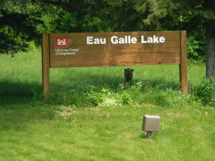
Main Day Use Are at Eau Galle Lake offers many family-friendly outdoor activities including fishing, boating and hiking, in the lush Wisconsin woodlands.Recreation
In summer, the lake is a popular place for canoe, kayak and other non-gasoline powered boating. Fishermen cast their reels year-round for a chance to catch Bass, Panfish, Pike, and TroutFacilities
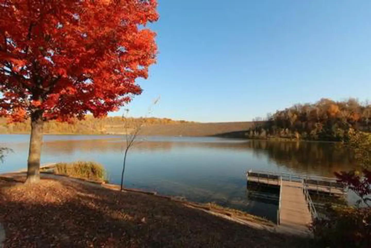
Amenities include flush toilets, playgrounds, horseshoe pits, volleyball courts, a large sandy swimming beach, boat ramp, and a fishing dock.Natural Features
Eau Galle Lake is a 150-acre impoundment surrounded by densely wooded hills and bluffs. Its waters are fed by the 35-mile Eau Galle River, shaded with scenic mixed hardwoods.Nearby Attractions
Crystal Cave, Wisconsin's longest cave, is approximately 1 mile southwest of Spring Valley, WI. A series of steps and ramps allow visitors to descend over 70 ft. among stalagmites and rippling flowstone.Spring Valley Golf Course is nearby.
The facts
- 2 bookable sites
- 2 sites for day use only
- 2 accessible sites
- Up to 250 people per site
- Loops: MDAU
Site types
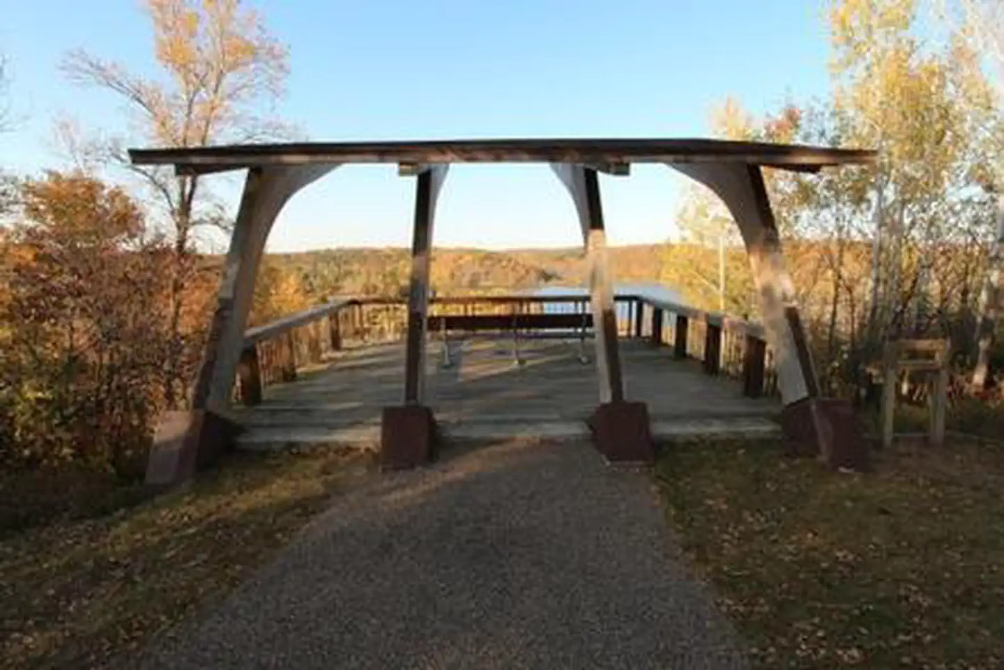
- 2 Group Shelter Electric
Amenities
- Electric hookups
- Water hookups — not available
- Campfires allowed — not available
Not recorded upstream: sewer hookups, fire pits, picnic tables, grills, shade, pets allowed.
2 campsites at Main Day Use
Check-in 6:00 AM · Check-out 10:00 PM
| Site | Loop | Type | Entry | Surface | Max rig | People | |
|---|---|---|---|---|---|---|---|
| EAST | MDAU | Group Shelter Electric | — | — | — | 250 | ♿ |
| WEST | MDAU | Group Shelter Electric | — | — | — | 75 | ♿ |
Getting there
From Minneapolis/St. Paul, take I-94 east to Exit 24. Take County Road B south approximately 6 miles and follow the highway signs to the park.
44.85944, -92.24444 · 44°51'34.0"N 92°14'40.0"W
Typical weather
| Jan | Feb | Mar | Apr | May | Jun | Jul | Aug | Sep | Oct | Nov | Dec | |
|---|---|---|---|---|---|---|---|---|---|---|---|---|
| High °F | — | — | — | — | — | — | — | — | — | — | — | — |
| Low °F | — | — | — | — | — | — | — | — | — | — | — | — |
| Precip in | 1.1 | 1.0 | 2.3 | 3.0 | 4.2 | 5.2 | 3.5 | 4.0 | 4.1 | 2.6 | 1.9 | 1.4 |
1991–2020 averages from the nearest NOAA station, 1.3 mi away — not measured at the facility itself, and elevation can make a real difference over that distance.
Map
More photos
Member photos
Common questions about Main Day Use
- Can you reserve a site at Main Day Use?
- Yes, Main Day Use is reservable through Recreation.gov.
- How many campsites does Main Day Use have?
- 2 sites.
- Does Main Day Use have hookups?
- Electric.
- Are campfires allowed at Main Day Use?
- Campfires are not allowed at Main Day Use.
Camping near Main Day Use
- Highland Ridge 0.9 mi · Campground · we watch it
- St. James Hotel 24.8 mi · Facility
- Lower St. Croix District 37.1 mi · Campground
- Mississippi River Visitor Center 42.2 mi · Facility
- St. Croix River Visitor Center 43.2 mi · Facility
Contact
- Phone 715-778-5562
- Book Recreation.gov
Recreation.gov last updated this record on 2026-06-22.
Facility information and photographs from Recreation.gov (RIDB). SpotOpened is not affiliated with Recreation.gov or any federal agency.
Comments