Horseshoe Cove Campground
Campground · Washington · 40 bookable sites ·
Managed by the USDA Forest Service
Mt. Baker National Forest (NF) · Open Access
- 40
- Bookable sites
- 60 ft
- Max rig length
- up to 25
- People per site
- 736 ft
- Elevation
Overview
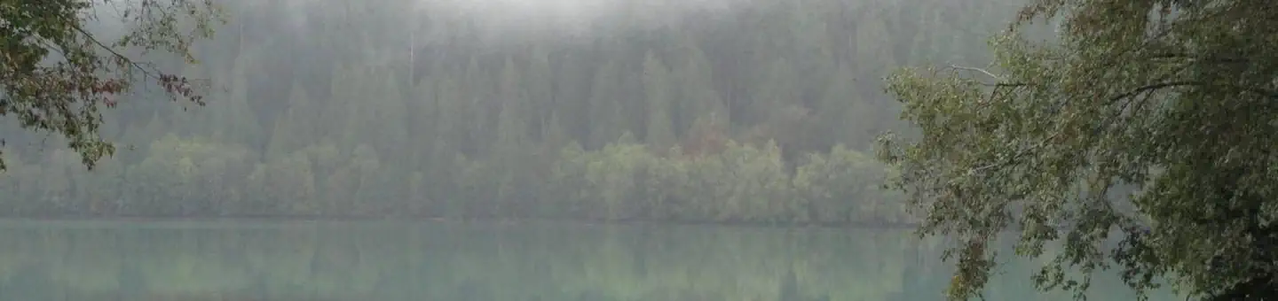
Horseshoe Cove Campground is nestled under a canopy of forest along the banks of Baker Lake. Located in the Mt. Baker-Snoqualmie National Forest which stretches along the west side of the Cascade Mountains between the Canadian border and Mt. Rainier National Park, this area is one of the most spectacular in the country, showcasing glacier-covered peaks, wide mountain meadows and old-growth forests.Recreation
In addition to being a prime location for boating, fishing, swimming, and picnicking , hikers and backpackers are especially fortunate to have access to a variety of spectacular trails along the lake and in the nearby Mt. Baker National Recreation Area.. The Baker Lake and Baker River Trails are family friendly hikes that are a short drive from the campground. The Baker Lake trail starts on the south end of the lake in a stand of Douglas fir and travels 13 miles above the eastern shoreline of Baker Lake. Anderson Point with views of Mt. Baker and Mt. Shuksan is 2.5 miles from the trailheadand is a popular boat in camp, backpacking destination and lunch spot. The Baker River Trail starts at the north end of the lake and follows the river 2.25 miles upstream, through large old-growth into North Cascades National Park.Facilities
There are 39 campsites at Horseshoe Cove Campground, including three large group sites.
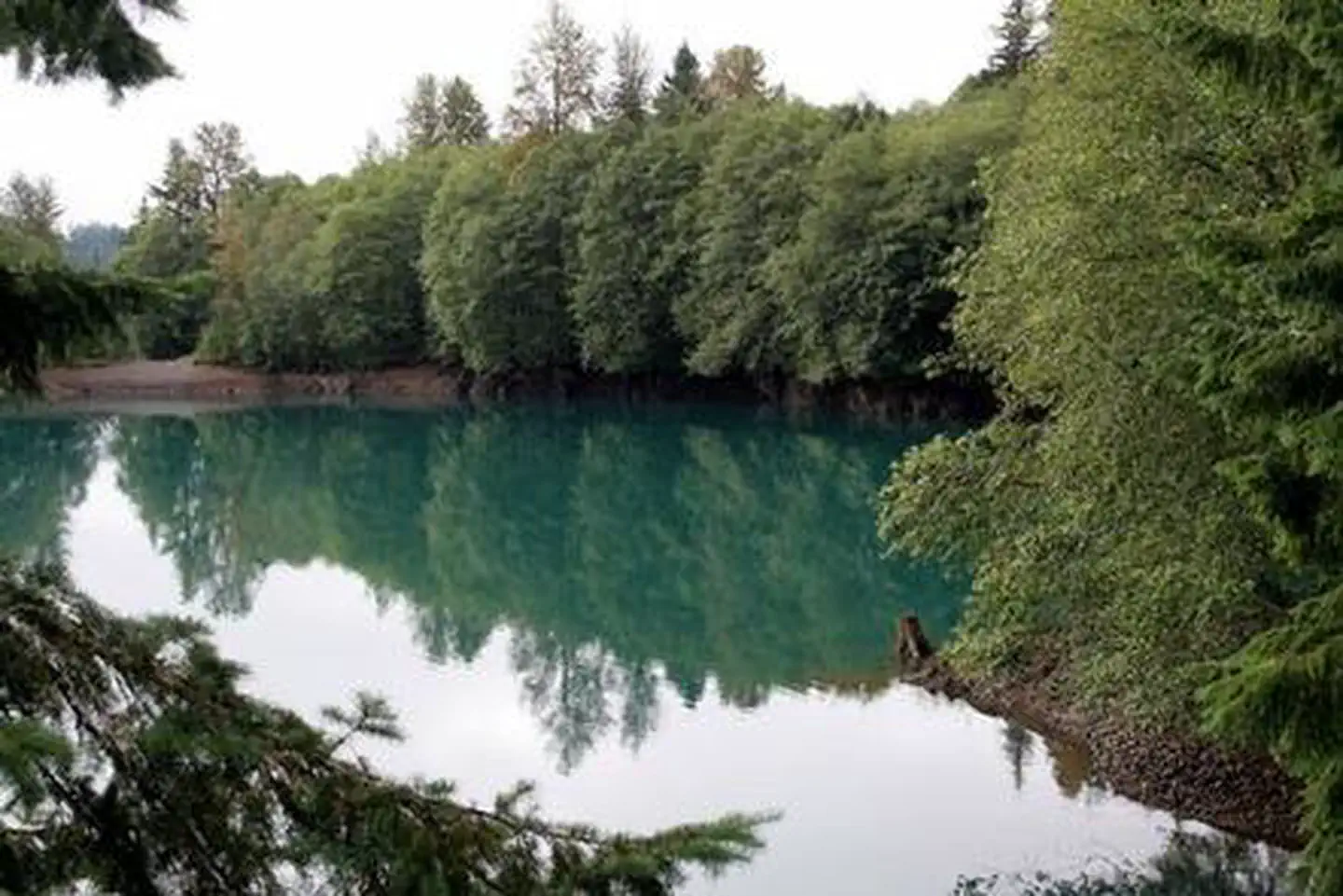
With several sites located at the lake's edge, and others in close vicinity, this campground offers visitors the ideal opportunity to camp near the shoreline or under a canopy of trees.
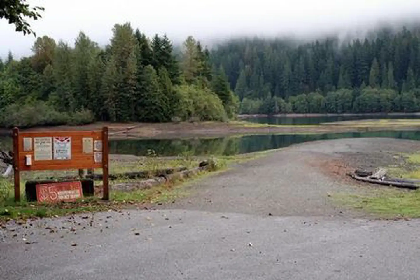
A boat ramp, large sandy swim beach, trail, firewood are available at the campground.
Natural Features
From the lake on a clear day visitors will see Mt. Baker, the most prominent feature of the Mt. Baker Wilderness. Rising to an elevation of 10,781 feet, the active volcano from which the forest takes its name is perpetually snow-capped and mantled with an extensive network of creeping glaciers. Mt. Baker's summit, Grant Peak, is actually a 1,300-foot-deep mound of ice, which hides a massive volcanic crater.Contact Info
For facility specific information, please call (530) 932-0242.Nearby Attractions
Hike in the mountains above the lake in the Mt. Baker National Recreation Area, or take some time to visit North Cascades National Park. This unique park is like no other place on earth. It features a deep blue lake surrounded by sheer, 2,000' cliffs, two picturesque islands and a violent volcanic past. Hiking trails, a visitor center and educational programs are available.Charges & Cancellations
Once your reservation start date has begun, neither the Recreation.gov Contact Center nor the campground manager will be able to modify your reservation.
The facts
- 40 bookable sites
- 41 sites in total, including non-bookable
- Vehicles up to 60 ft
- Up to 25 people per site
- Loops: North Loop, South Loop
Site types
- 37 Standard Nonelectric
- 3 Group Standard Nonelectric
- 1 Management
Amenities
- Campfires allowed
- Fire pits
- Picnic tables
- Grills
- Shade
- Pets allowed
Not recorded upstream: electric hookups, water hookups, sewer hookups.
41 campsites at Horseshoe Cove Campground
Check-in 2:00 PM · Check-out 12:00 PM
| Site | Loop | Type | Entry | Surface | Max rig | People | |
|---|---|---|---|---|---|---|---|
| 001 HOST | North Loop | Management | Back In | Gravel | 40 ft | 6 | 🐾 |
| 002 | North Loop | Standard Nonelectric | Back In | Gravel | 40 ft | 6 | 🐾 |
| 003 | North Loop | Standard Nonelectric | Back In | Gravel | 40 ft | 6 | 🐾 |
| 004 | North Loop | Standard Nonelectric | Back In | Gravel | 40 ft | 6 | 🐾 |
| 005 | North Loop | Standard Nonelectric | Pull Through | Gravel | 40 ft | 6 | 🐾 |
| 006 | North Loop | Standard Nonelectric | Back In | Gravel | 40 ft | 6 | 🐾 |
| 007 | North Loop | Standard Nonelectric | Back In | Gravel | 50 ft | 6 | 🐾 |
| 008 | North Loop | Standard Nonelectric | Back In | Gravel | 40 ft | 6 | 🐾 |
| 009 | North Loop | Standard Nonelectric | Back In | Gravel | 56 ft | 6 | 🐾 |
| 010 | North Loop | Standard Nonelectric | Back In | Gravel | 50 ft | 6 | 🐾 |
| 011 | North Loop | Standard Nonelectric | Back In | Gravel | 50 ft | 6 | 🐾 |
| 012 | North Loop | Standard Nonelectric | Back In | Gravel | 40 ft | 6 | 🐾 |
| 013 | North Loop | Standard Nonelectric | — | Gravel | 35 ft | 6 | 🐾 |
| 014 | North Loop | Standard Nonelectric | Back In | Gravel | 40 ft | 6 | 🐾 |
| 015 | North Loop | Standard Nonelectric | Back In | Gravel | 48 ft | 6 | 🐾 |
| 016 | North Loop | Standard Nonelectric | Back In | Gravel | 45 ft | 6 | 🐾 |
| 017 Multi | North Loop | Standard Nonelectric | Back In | Gravel | 35 ft | 12 | 🐾 |
| 018 | North Loop | Standard Nonelectric | Back In | Gravel | 50 ft | 6 | 🐾 |
| 019 | North Loop | Standard Nonelectric | Back In | Gravel | 45 ft | 6 | 🐾 |
| 020 | North Loop | Standard Nonelectric | Back In | Gravel | 30 ft | 6 | 🐾 |
| 021 | North Loop | Standard Nonelectric | Back In | Gravel | 40 ft | 6 | 🐾 |
| 022 | North Loop | Standard Nonelectric | Back In | Gravel | 30 ft | 6 | 🐾 |
| 023 | North Loop | Standard Nonelectric | Back In | Gravel | 60 ft | 6 | 🐾 |
| 024 | North Loop | Standard Nonelectric | — | Gravel | 40 ft | 6 | 🐾 |
| 025 | North Loop | Standard Nonelectric | Back In | Gravel | 32 ft | 6 | 🐾 |
| 026 | North Loop | Standard Nonelectric | Back In | Gravel | 35 ft | 6 | 🐾 |
| Group Site A | North Loop | Group Standard Nonelectric | Back In | Gravel | 40 ft | 25 | 🐾 |
| Group Site B | North Loop | Group Standard Nonelectric | Back In | Gravel | 40 ft | 25 | 🐾 |
| Group Site C | North Loop | Group Standard Nonelectric | Back In | Gravel | 40 ft | 25 | 🐾 |
| 027 | South Loop | Standard Nonelectric | Pull Through | Gravel | 40 ft | 6 | 🐾 |
| 028 | South Loop | Standard Nonelectric | Pull Through | Gravel | 45 ft | 6 | 🐾 |
| 029 | South Loop | Standard Nonelectric | Back In | Gravel | 40 ft | 6 | 🐾 |
| 030 | South Loop | Standard Nonelectric | Pull Through | Gravel | 45 ft | 6 | 🐾 |
| 031 | South Loop | Standard Nonelectric | Pull Through | Gravel | 45 ft | 6 | 🐾 |
| 032 | South Loop | Standard Nonelectric | Pull Through | Gravel | 45 ft | 6 | 🐾 |
| 033 | South Loop | Standard Nonelectric | Pull Through | Gravel | 45 ft | 6 | 🐾 |
| 034 | South Loop | Standard Nonelectric | Pull Through | Gravel | 45 ft | 6 | 🐾 |
| 035 Multi | South Loop | Standard Nonelectric | Back In | Gravel | 45 ft | 12 | 🐾 |
| 036 | South Loop | Standard Nonelectric | Back In | Gravel | 40 ft | 6 | 🐾 |
| 037 | South Loop | Standard Nonelectric | Back In | Gravel | 40 ft | 6 | 🐾 |
| 038 | South Loop | Standard Nonelectric | Back In | Gravel | 40 ft | 6 | 🐾 |
Getting there
48.67194, -121.67645 · 48°40'19.0"N 121°40'35.2"W
Typical weather
Typically 75°F in Aug, down to 37°F in Dec.
| Jan | Feb | Mar | Apr | May | Jun | Jul | Aug | Sep | Oct | Nov | Dec | |
|---|---|---|---|---|---|---|---|---|---|---|---|---|
| High °F | 38 | 42 | 48 | 56 | 64 | 68 | 74 | 75 | 69 | 56 | 44 | 37 |
| Low °F | 29 | 29 | 32 | 36 | 42 | 47 | 51 | 51 | 47 | 41 | 34 | 30 |
| Precip in | 15.3 | 8.8 | 10.4 | 6.7 | 4.5 | 3.3 | 1.8 | 1.9 | 4.8 | 10.5 | 16.0 | 14.2 |
1991–2020 averages from the nearest NOAA station, 1.5 mi away — not measured at the facility itself, and elevation can make a real difference over that distance.
Map
More photos
Member photos
Common questions about Horseshoe Cove Campground
- Can you reserve a site at Horseshoe Cove Campground?
- Yes, Horseshoe Cove Campground is reservable through Recreation.gov.
- How many campsites does Horseshoe Cove Campground have?
- 41 sites in total, of which 40 can be booked.
- What is the maximum RV length at Horseshoe Cove Campground?
- 60 ft. That is the longest vehicle the sites here are recorded as taking; individual sites may be shorter.
- Are pets allowed at Horseshoe Cove Campground?
- Yes, pets are allowed at Horseshoe Cove Campground.
- Are campfires allowed at Horseshoe Cove Campground?
- Campfires are allowed at Horseshoe Cove Campground. Check for a current fire restriction before you go.
Also listed by
Horseshoe Cove Campground also appears in other federal recreation data. Facts below are matched by name and location, not confirmed by Horseshoe Cove Campground's operator.
USDA Forest Service — data as of Aug 24, 2026
- View Recreation.gov for Fee Information and for open season dates.
Camping near Horseshoe Cove Campground
- Bayview Campground (Mt. Baker-Snoqualmie National Forest, WA) 0.2 mi · Campground · we watch it
- Boulder Creek Campground 3.1 mi · Campground · we watch it
- Panorama Point Campground 3.6 mi · Campground · we watch it
- Swift Creek Campground 4.1 mi · Campground · we watch it
- Park Creek Campground 4.4 mi · Campground · we watch it
- Shannon Creek Campground 5.9 mi · Campground · we watch it
- Bayview Campground 0.2 mi · Campground
- Baker Lake 1.7 mi · Facility
- Baker Lake / Middle Fork Nooksack 3.1 mi · Facility
- Mt. Baker Summit - Climbing 9.7 mi · Facility
- Park Glacier Climbing Route 12.1 mi · Facility
- North Cascades (SR 20) 13.4 mi · Facility
Contact
- Phone 360-804-1103
- Book Recreation.gov
Recreation.gov last updated this record on 2026-03-11.
Facility information and photographs from Recreation.gov (RIDB). SpotOpened is not affiliated with Recreation.gov or any federal agency.
Comments