Historic Jamestowne Visitor Center
Facility · Virginia ·
Managed by the National Park Service
Colonial National Historical Park (National Historical Park) · Restricted Access
- 10 ft
- Elevation
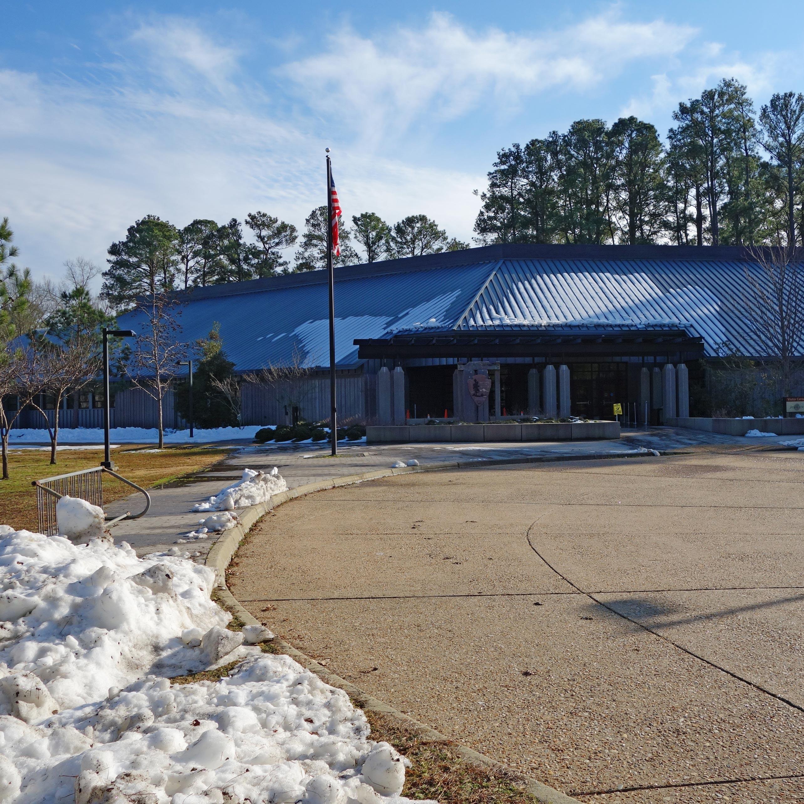
Welcome to Historic Jamestowne!
Your visit to Historic Jamestowne can be made more enjoyable and memorable with a little advanced planning and knowledge. This can often make the difference between a good visit and a great visit.
Getting there
Situated on the banks of the James River, Jamestown is a short distance from many major roadways and highways. For a google map search or GPS, use the following address: 1368 Colonial Parkway, Jamestown, Virginia 23081.
37.21128, -76.77732 · 37°12'40.6"N 76°46'38.3"W
Typical weather
| Jan | Feb | Mar | Apr | May | Jun | Jul | Aug | Sep | Oct | Nov | Dec | |
|---|---|---|---|---|---|---|---|---|---|---|---|---|
| High °F | — | — | — | — | — | — | — | — | — | — | — | — |
| Low °F | — | — | — | — | — | — | — | — | — | — | — | — |
| Precip in | 3.4 | 2.8 | 3.8 | 3.5 | 4.0 | 4.4 | 5.3 | 5.9 | 5.2 | 3.8 | 3.2 | 3.4 |
1991–2020 averages from the nearest NOAA station, 1.3 mi away — not measured at the facility itself, and elevation can make a real difference over that distance.
Map
Member photos
Common questions about Historic Jamestowne Visitor Center
- Can you reserve a site at Historic Jamestowne Visitor Center?
- No. Historic Jamestowne Visitor Center is not reservable through Recreation.gov, so sites are first-come, first-served or booked elsewhere.
Camping near Historic Jamestowne Visitor Center
- Historic Jamestowne less than 0.1 mi · Facility
- Historic Jamestowne - Trail Headquarters less than 0.1 mi · Facility
- Yorktown Battlefield Visitor Center 15.2 mi · Facility
- Yorktown Battlefield 15.5 mi · Visitor Center
- Harrison Lake National Fish Hatchery 18.5 mi · Facility
- General Grant's Headquarters at City Point 28.5 mi · Visitor Center
- The Colonies RV Travel Park & Country Store 29.4 mi · Facility
- Fort Monroe Visitor & Education Center 29.5 mi · Visitor Center
- Casemate Museum 29.6 mi · Visitor Center
- Eastern Front Visitor Center 32 mi · Visitor Center
- Cold Harbor Battlefield Visitor Center 38.1 mi · Visitor Center
- The Jefferson Hotel 43.3 mi · Facility
Contact
- Phone (757) 856-1200
- Email Michael_Byrd@nps.gov
- Info Recreation.gov
Recreation.gov last updated this record on 2026-02-25.
Facility information and photographs from Recreation.gov (RIDB). SpotOpened is not affiliated with Recreation.gov or any federal agency.
Comments