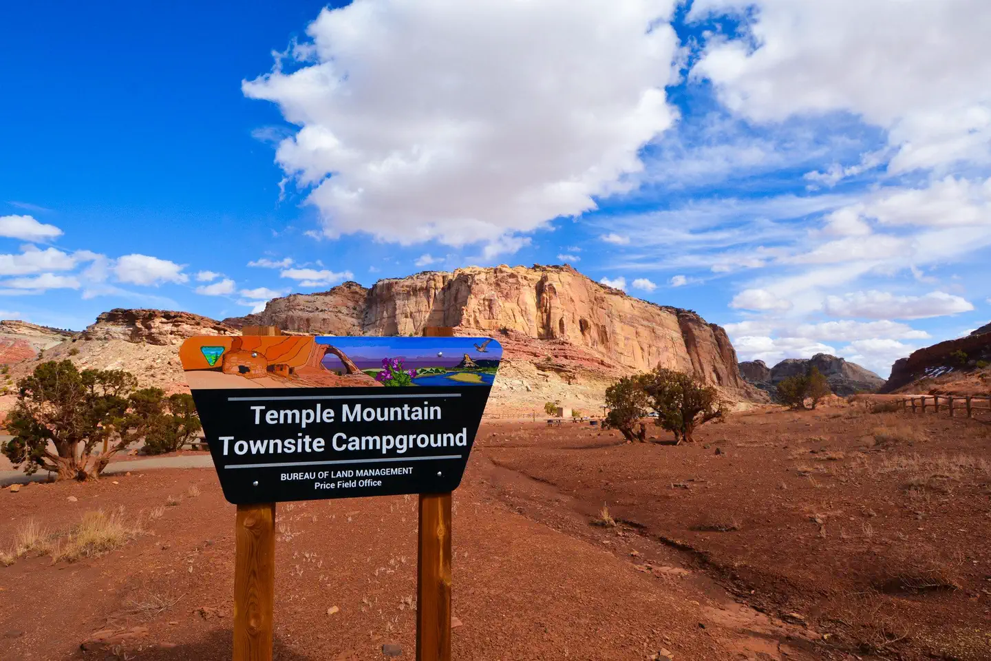
Temple Mountain Townsite Campground
Campground · 10 bookable sites ·
Managed by the Bureau of Land Management
Price Field Office (Bureau of Land Management UT) · Open Access
- 10
- Bookable sites
- 5,453 ft
- Elevation
Overview
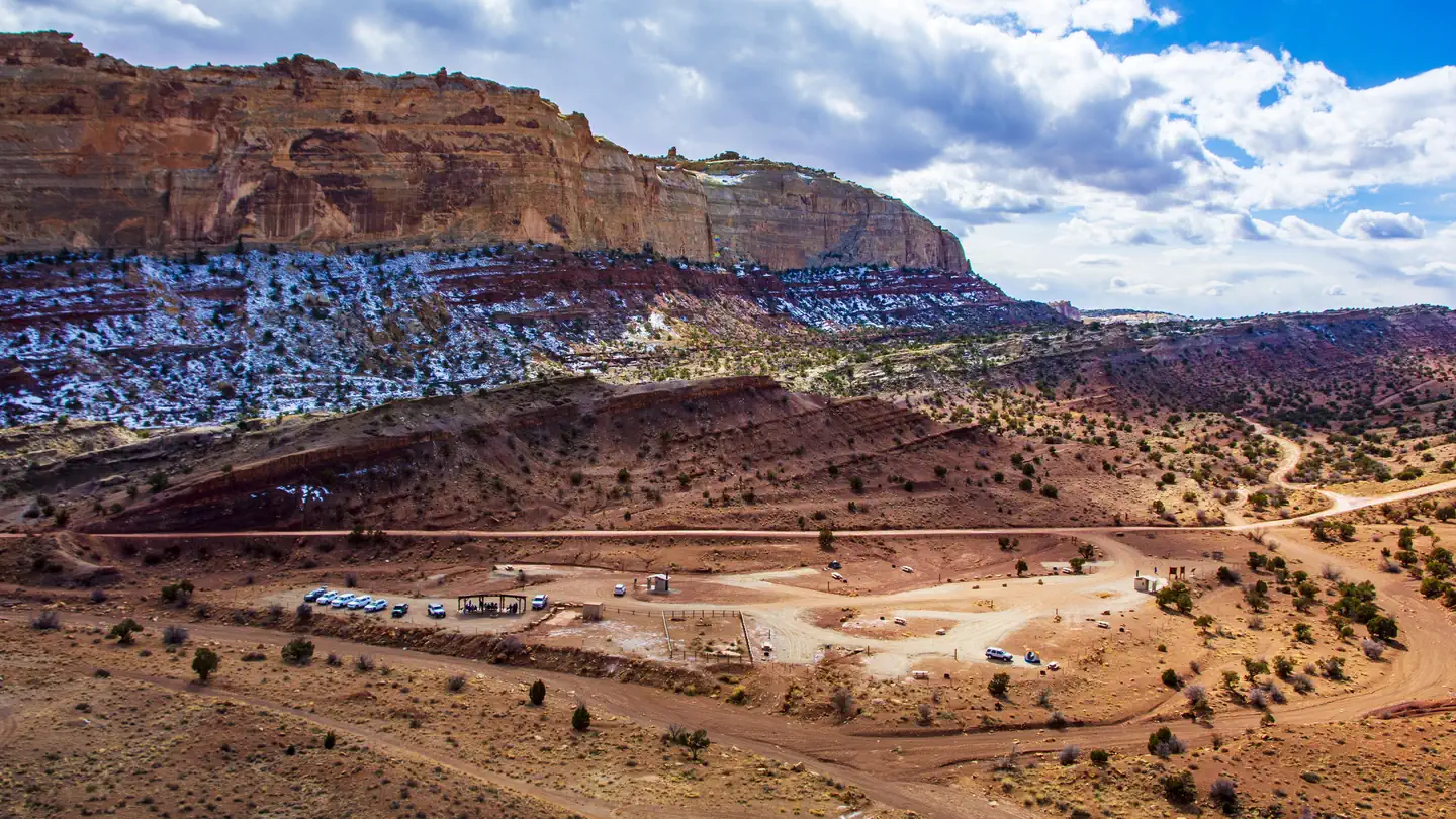
Temple Mountain Townsite is a fee campground in the San Rafael Swell Recreation Area.
Recreation
Temple Mountain Townsite is at the intersection of Temple Mountain Road and the Behind-the-Reef Road. From the campground, visitors can hike to reclaimed uranium mines, drive a short distance down the wash to the Temple Mountain Pictograph Panel, or drive the longer North Temple Wash loop. The Behind-the-Reef Road is accessible to most vehicles for six miles, accessing several trailheads for hikes into the San Rafael Reef Wilderness. Two of these (Chute Canyon and Wild Horse Canyon) are accessible for horseback riders. The road continues for another 14 miles requiring high clearance and four-wheel-drive as it follows the rugged base of the reef against a backdrop of 500-foot cliffs and jagged canyons. After about seven miles, the road narrows to a maximum vehicle width of 50 feet. More wilderness slot canyons hikes can be accessed from this road. Motorized vehicle use is not permitted in wilderness.
Natural Features
The campground is at the mouth of a short, steep canyon (Temple Wash) which cuts through the San Rafael Reef. One of the most distinctive geologic features of central Utah, the Reef is a 75-mile-long rocky spine that reaches up to 1,000 feet high and forms the eastern edge of the San Rafael Swell. The Temple Mountain area provides acces to many scenic slot canyons, hills, and spires cut from red and white rock.
Contact Info
For facility specific information, please call (435) 636-3600.Nearby Attractions
Goblin Valley State Park (fee area), 2 miles east: The state park entrance is two miles up the Temple Wash Road going back towards Highway 24. The state park is famous for its unique landscape of sandstone hoodoos (goblins) and buttes. The park has hiking and mountain biking trails as well as a fee campground and yurt rentals.
Little Wild Horse Canyon: The Little Wild Horse slot canyon is the most popular hike in the San Rafael Reef. Visitors can appreciate sculpted sandstone walls and narrows through the three-mile canyon. Paired with Bell Canyon via the Behind-the-Reef Road, this makes for an eight-mile moderate day hike with varied scenery. The canyon bottoms are gravel and there are some obstacles requiring straightforward scrambling.
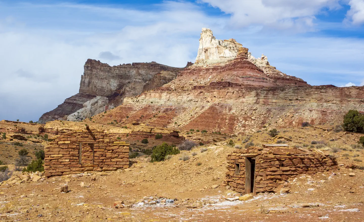
Temple Mountain Mining District: The townsite is in the heart of the historic Temple Mountain Mining District. Visitors can visit sites and learn about the history of Cold War-era uranium mining by foot or vehicle.
The facts
- 10 bookable sites
- Loops: Temple Mtn Townsite
Site types
- 9 Standard Nonelectric
- 1 Group Standard Nonelectric
Amenities
- Campfires allowed
- Water hookups — not available
Not recorded upstream: electric hookups, sewer hookups, fire pits, picnic tables, grills, shade, pets allowed.
10 campsites at Temple Mountain Townsite Campground
| Site | Loop | Type | Entry | Surface | Max rig | People | |
|---|---|---|---|---|---|---|---|
| Site 01 | Temple Mtn Townsite | Standard Nonelectric | Parallel | Gravel | — | — | |
| Site 02 | Temple Mtn Townsite | Standard Nonelectric | Parallel | Gravel | — | — | |
| Site 03 | Temple Mtn Townsite | Standard Nonelectric | Parallel | Gravel | — | — | |
| Site 04 | Temple Mtn Townsite | Standard Nonelectric | Parallel | Gravel | — | — | |
| Site 05 (Group) | Temple Mtn Townsite | Group Standard Nonelectric | Back In | Gravel | — | — | |
| Site 06 | Temple Mtn Townsite | Standard Nonelectric | Parallel | Gravel | — | — | |
| Site 07 | Temple Mtn Townsite | Standard Nonelectric | Parallel | Gravel | — | — | |
| Site 08 | Temple Mtn Townsite | Standard Nonelectric | Parallel | Gravel | — | — | |
| Site 09 | Temple Mtn Townsite | Standard Nonelectric | Parallel | Gravel | — | — | |
| Site 10 | Temple Mtn Townsite | Standard Nonelectric | Parallel | Gravel | — | — |
Getting there
From Highway 24, turn west onto Temple Mountain Road (signed for Goblin Valley State Park). Continue straight on this road past the state park turnoff as it turns from pavement to gravel and enters a short canyon. Temple Mountain Townsite is located on the north (right) side of the road as the canyon opens up, seven miles from the highway turnoff.
38.66744, -110.68624 · 38°40'2.8"N 110°41'10.5"W
Typical weather
Typically 95°F in Jul, down to 41°F in Dec.
| Jan | Feb | Mar | Apr | May | Jun | Jul | Aug | Sep | Oct | Nov | Dec | |
|---|---|---|---|---|---|---|---|---|---|---|---|---|
| High °F | 41 | 47 | 59 | 66 | 76 | 89 | 95 | 92 | 84 | 68 | 53 | 41 |
| Low °F | 17 | 23 | 30 | 37 | 47 | 55 | 63 | 61 | 51 | 39 | 26 | 18 |
| Precip in | 0.5 | 0.6 | 0.8 | 0.7 | 1.0 | 0.5 | 0.8 | 0.9 | 0.9 | 1.2 | 0.5 | 0.4 |
1991–2020 averages from the nearest NOAA station, 6.3 mi away — not measured at the facility itself, and elevation can make a real difference over that distance.
Map
Fees and stay limits
Individual sites $15/night and group sites $50/night, paid at self-pay kiosks.
From Recreation.gov, which is not always current. The operator's own page is the authority on what you will be charged.
More photos
Member photos
Common questions about Temple Mountain Townsite Campground
- Can you reserve a site at Temple Mountain Townsite Campground?
- Yes, Temple Mountain Townsite Campground is reservable through Recreation.gov.
- How many campsites does Temple Mountain Townsite Campground have?
- 10 sites.
- Does Temple Mountain Townsite Campground have hookups?
- No hookups are recorded here.
- Are campfires allowed at Temple Mountain Townsite Campground?
- Campfires are allowed at Temple Mountain Townsite Campground. Check for a current fire restriction before you go.
Camping near Temple Mountain Townsite Campground
- South Temple Wash 1.5 mi · Campground · we watch it
- Temple Moutain Campground West less than 0.1 mi · Campground
- Temple Mountain Campground East 1.5 mi · Campground
- Waterfall North Trailhead 3.4 mi · Facility
- Crack Canyon Trailhead 3.6 mi · Facility
- Waterfall South Trailhead South 3.6 mi · Facility
- Chute Canyon Trailhead 5.2 mi · Facility
- Baptist Draw Trailhead 6.5 mi · Facility
- Five Miles of Hell TH 8.5 mi · Facility
- Little Wild Horse Trailhead 8.6 mi · Facility
- Ding and Dang Trailhead 9.7 mi · Facility
- Swaseys Cabin TH 13.3 mi · Facility
Contact
- Email utprmail@blm.gov
- Book Recreation.gov
Recreation.gov last updated this record on 2026-02-25.
Facility information and photographs from Recreation.gov (RIDB). SpotOpened is not affiliated with Recreation.gov or any federal agency.
Comments