Round Spring Ranger Station
Visitor Center ·
Managed by the National Park Service
Ozark National Scenic Riverways (National River) · Open Access
- 708 ft
- Elevation
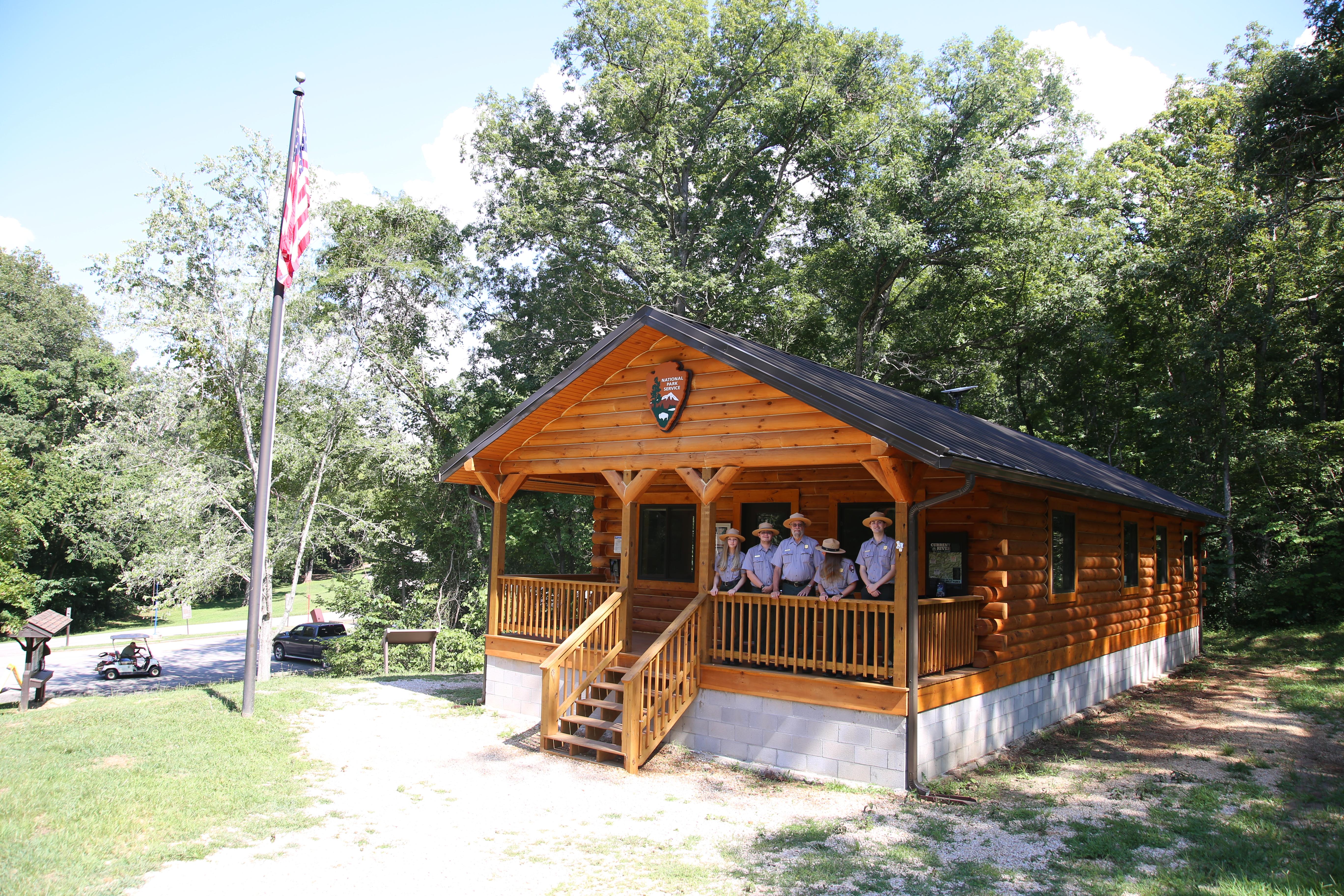
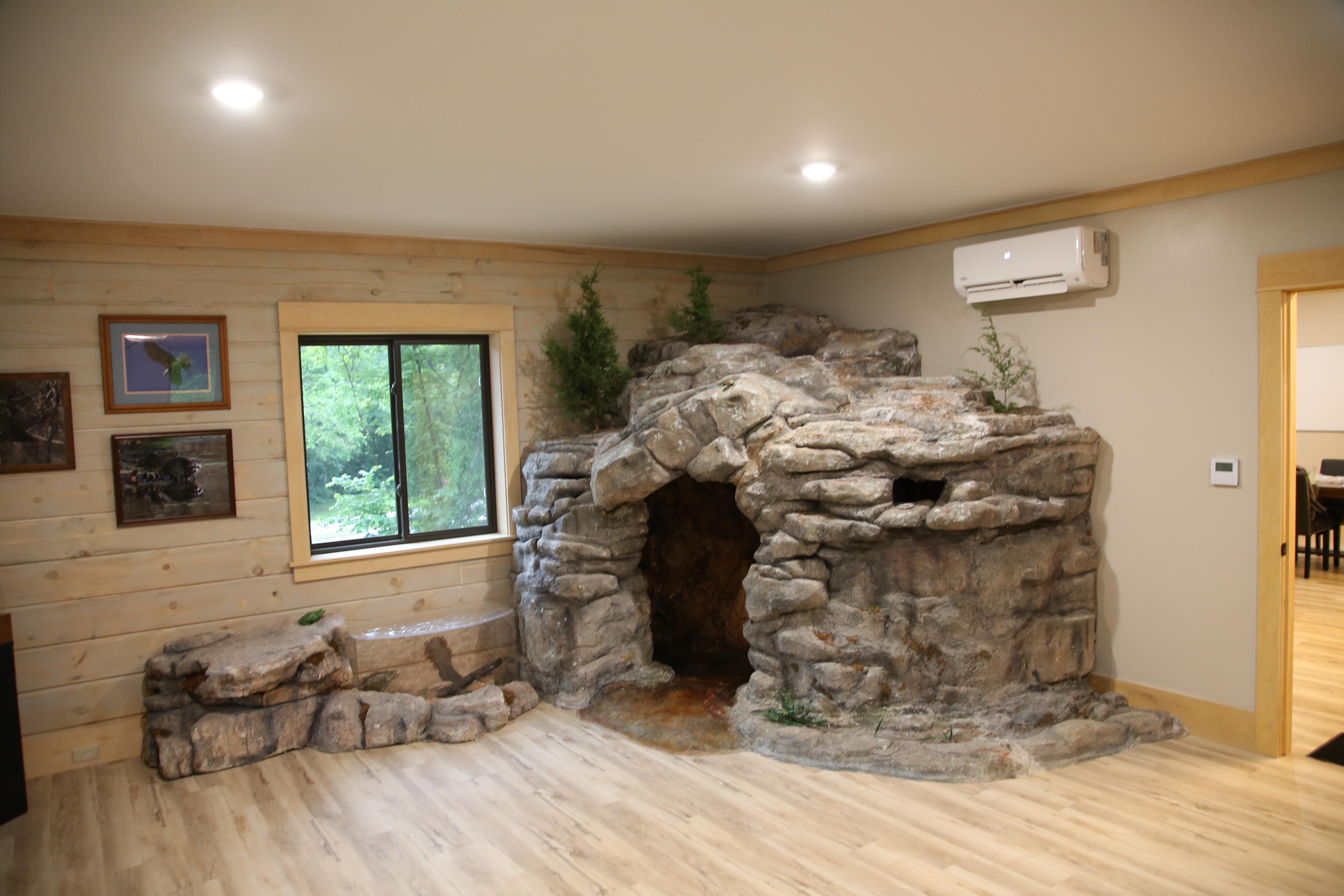
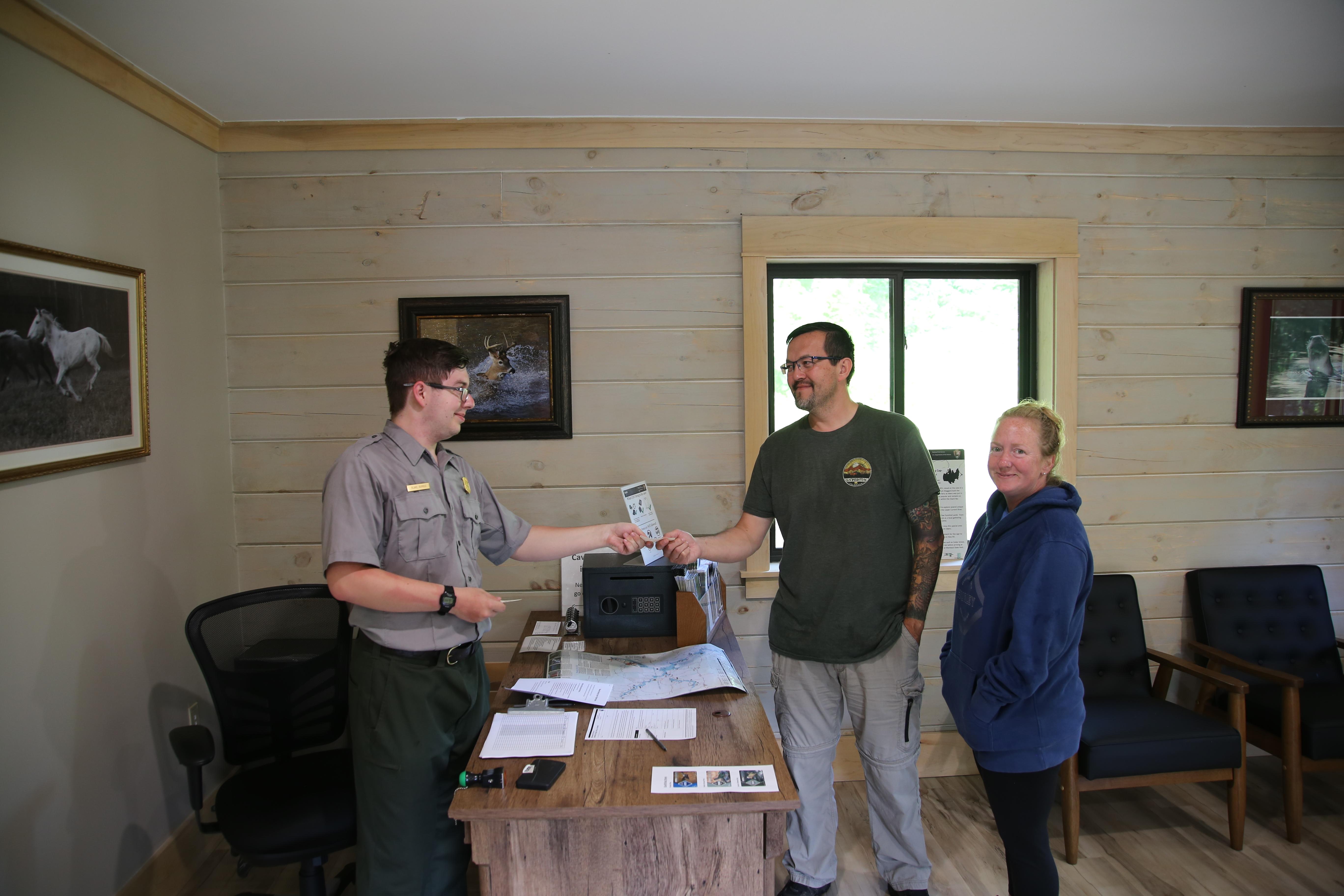
Round Spring Ranger Station, located along the Current River, serves the upper third of Ozark National Scenic Riverways. This station offers park literature, trip planning advice, and cave tour tickets. Exhibits and videos make this a great place to learn about the park's rivers and caves.
Getting there
Round Spring Ranger Station can be found on Highway 19, about 12.4 miles north of Eminence, MO. From Eminence, simply drive north on Highway 19 until you reach Round Spring.
The station is located near the family campground, on the south end of a two-lane bridge. There is parking in front of the building (on top of the hill) and below the building (at the bottom of the hill).
37.28032, -91.40975 · 37°16'49.2"N 91°24'35.1"W
Typical weather
Typically 90°F in Jul, down to 45°F in Jan.
| Jan | Feb | Mar | Apr | May | Jun | Jul | Aug | Sep | Oct | Nov | Dec | |
|---|---|---|---|---|---|---|---|---|---|---|---|---|
| High °F | 45 | 50 | 60 | 71 | 78 | 85 | 90 | 88 | 81 | 71 | 59 | 47 |
| Low °F | 20 | 23 | 32 | 40 | 51 | 60 | 65 | 63 | 54 | 41 | 32 | 24 |
| Precip in | 2.7 | 3.6 | 4.1 | 4.8 | 6.2 | 4.3 | 4.6 | 4.3 | 3.8 | 3.3 | 4.1 | 3.5 |
1991–2020 averages from the nearest NOAA station, 1.7 mi away — not measured at the facility itself, and elevation can make a real difference over that distance.
Map
More photos
Member photos
Common questions about Round Spring Ranger Station
- Can you reserve a site at Round Spring Ranger Station?
- No. Round Spring Ranger Station is not reservable through Recreation.gov, so sites are first-come, first-served or booked elsewhere.
Camping near Round Spring Ranger Station
- Round Spring 0.2 mi · Campground · we watch it
- Pulltite 5.5 mi · Campground · we watch it
- Two Rivers 9.2 mi · Campground · we watch it
- Alley Spring 9.5 mi · Campground · we watch it
- Loggers Lake Campground 10.3 mi · Campground · we watch it
- Akers 11.3 mi · Campground · we watch it
- Sutton Bluff Recreation Area 25.9 mi · Campground · we watch it
- Pulltite Ranger Station 5.2 mi · Visitor Center
- Alley Mill 8.9 mi · Facility
- Alley General Store 9 mi · Visitor Center
- Loggers Lake Recreation Area 11 mi · Campground
- Mark Twain National Forest Day Use Pass 19.5 mi · Activity pass
Contact
- Phone (573) 858-3297
- Email ozar_interpretation@nps.gov
- Info Recreation.gov
Recreation.gov last updated this record on 2026-02-25.
Facility information and photographs from Recreation.gov (RIDB). SpotOpened is not affiliated with Recreation.gov or any federal agency.
Comments