Rough Canyon Campground
Facility ·
Managed by the National Park Service
Amistad National Recreation Area (National Recreation Area) · Open Access
- 1,127 ft
- Elevation
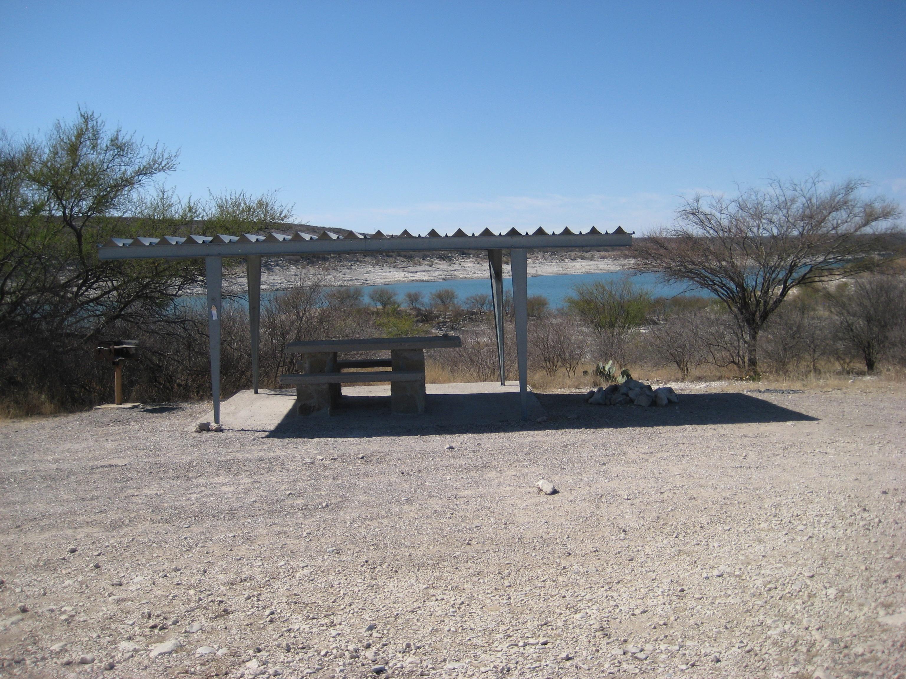
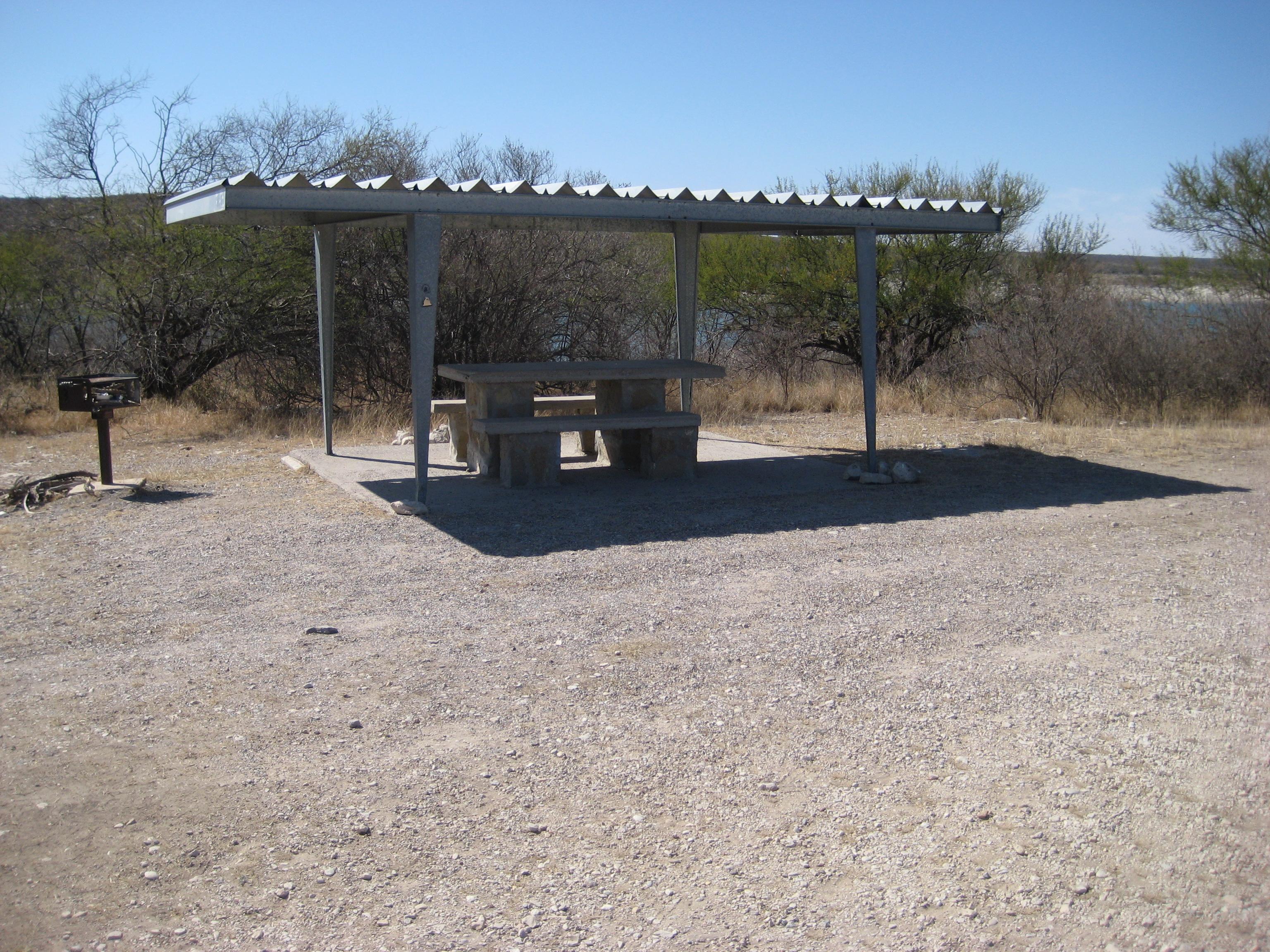
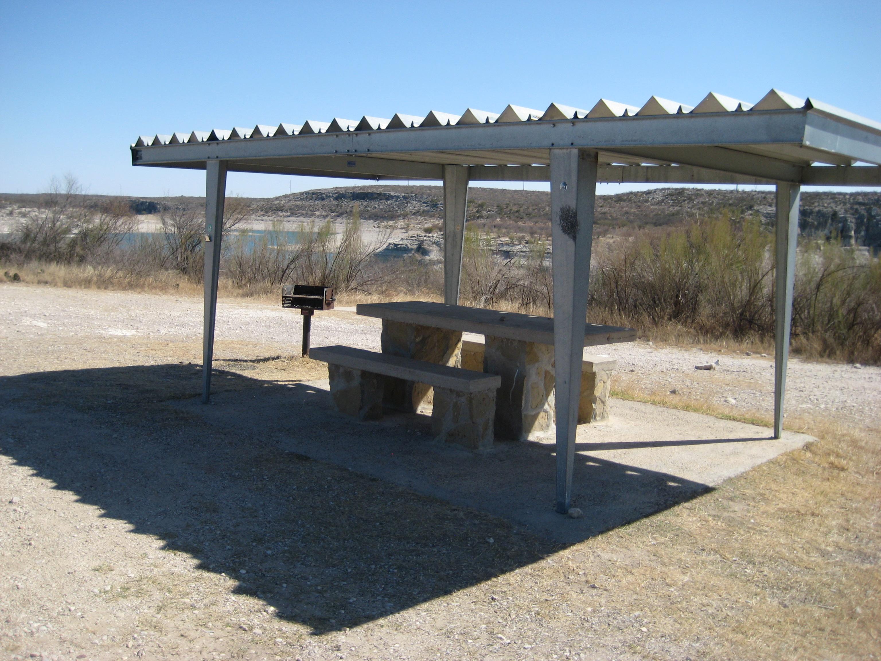
Rough Canyon Campground is generally open year-round and is in close proximity to a boat ramp. There may be a camp host on duty in the winter, and a Ranger Station is staffed intermittently. This campground offers 4 primitive sites, each with a covered picnic table and a BBQ grill. The sites are suitable for tents or RVs. No drinking water or hookups are available. Comfort station and running water available nearby at the Ranger Station.
Getting there
From Amistad National Recreation Area's Visitor Center- Head east (turn left out of parking lot) and drive 4.7 miles. Turn left onto Highway 377 North and travel 12.1 miles (follow signs to Sonora). Turn left onto Recreation Road 2 (also called "R 2") and travel 7.4 miles. Campground is located at the end of Recreation Road 2 just before the boat ramp area.
GPS Coordinates
29.573629, -100.977417
or
Lat-Long: 29° 34' 24.9564" N 100° 58' 38.8560" W
29.57360, -100.97746 · 29°34'25.0"N 100°58'38.9"W
Typical weather
Typically 97°F in Aug, down to 63°F in Jan.
| Jan | Feb | Mar | Apr | May | Jun | Jul | Aug | Sep | Oct | Nov | Dec | |
|---|---|---|---|---|---|---|---|---|---|---|---|---|
| High °F | 63 | 68 | 76 | 83 | 89 | 95 | 97 | 97 | 90 | 82 | 71 | 63 |
| Low °F | 40 | 43 | 51 | 58 | 66 | 72 | 74 | 74 | 69 | 60 | 49 | 41 |
| Precip in | 0.7 | 0.7 | 1.4 | 1.3 | 2.6 | 1.8 | 1.9 | 2.5 | 3.2 | 1.7 | 1.0 | 0.7 |
1991–2020 averages from the nearest NOAA station, 8.4 mi away — not measured at the facility itself, and elevation can make a real difference over that distance.
Map
More photos
Member photos
Common questions about Rough Canyon Campground
- Can you reserve a site at Rough Canyon Campground?
- No. Rough Canyon Campground is not reservable through Recreation.gov, so sites are first-come, first-served or booked elsewhere.
Camping near Rough Canyon Campground
- 277 North Group Campground 6 mi · Campground · we watch it
- San Pedro Group Campground 7.2 mi · Campground · we watch it
- Spur 406 Campground 3 mi · Facility
- Governors Landing Campground 7.2 mi · Facility
- Amistad National Recreation Area Visitor Center 7.5 mi · Facility
Contact
- Phone (830) 775-7491
- Email AMIS_Interpretation@nps.gov
- Info Recreation.gov
Recreation.gov last updated this record on 2026-02-25.
Facility information and photographs from Recreation.gov (RIDB). SpotOpened is not affiliated with Recreation.gov or any federal agency.
Comments