Multnomah Falls and Waterfall Corridor Timed Use Permits
Timed entry ·
Managed by the USDA Forest Service
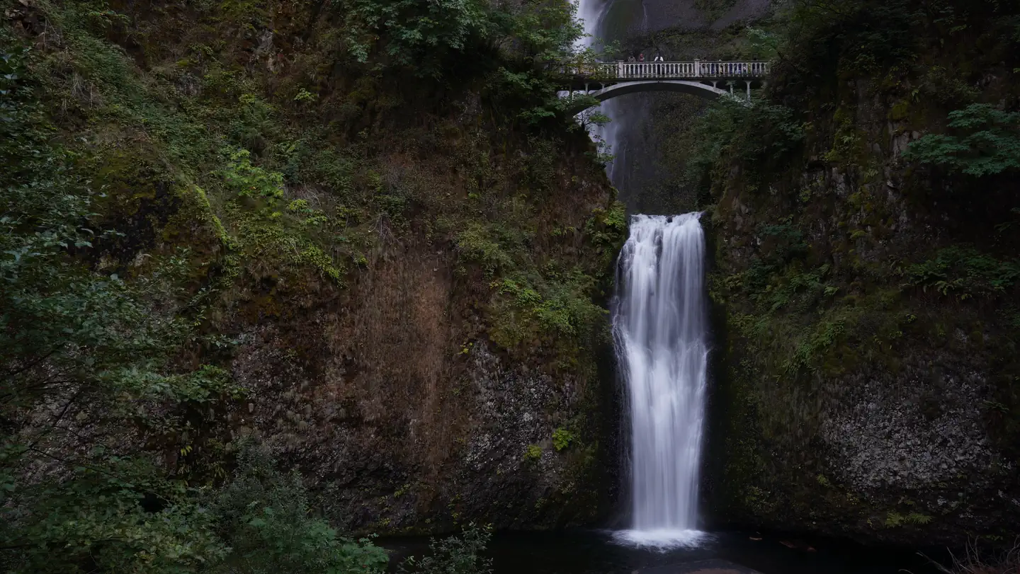
Permit reservations will be required to access Multnomah Falls and the Waterfall Corridor between Bridal Veil (Exit 28) and Ainsworth (Exit 35). The Forest Service in partnership with Oregon Department of Transportation, Oregon Parks Recreation Department, and Multnomah County will pilot Timed Use Permits to access two separate areas - Multnomah Falls and the Waterfall Corridor between Bridal Veil (Exit 28) and Ainsworth (Exit 35). Starting May 24th through September 5th, permits will be required from 9:00 am to 6:00 pm. Permits will be available on a per vehicle basis and visitors will be limited to 2 permits per day.
The Waterfall Corridor Timed Use Permit will provide access to US Forest Service sites including Wahkeena Falls recreation area, Oneonta Trailhead, and Horsetail Falls recreation area. The permit will also provide access to Multnomah Falls for visitor using the Historic Columbia River Highway parking lot.
Access to Multnomah Falls from Interstate 84/Exit 31 will require the Multnomah Falls Timed Use Permit.
Both Timed Use Permits are intended to improve the visitor experience and access to US Forest Service recreation sites by reducing congestion. It will improve public safety by facilitating timely response to emergencies which is impacted by extreme congestion and limited access for emergency responders.
A permit reservation for either the Multnomah Falls Timed Use Permit or the Waterfall Corridor Timed Use Permit does not guarantee you a parking space. Thank you for your cooperation!
Learn more about the Waterfall Corridor improved access and view the map of the permit area.
Getting there
Direction to Multnomah Falls Timed Use Permit area:
From Portland take Interstate 84 (eastbound) and follow signs to Multnomah Falls. Take exit 31 to access the parking lot for Multnomah Falls. On foot, follow the path under the eastbound lanes of Interstate 84 to the entrance station. Continue on the path to Multnomah Falls. Please be careful crossing the Historic Columbia River Highway at the pedestrian crosswalk before entering the site.
From points east take Interstate 84 (westbound) and take exit 31 to access the parking lot for Multnomah Falls. Exit 31 westbound may be closed due to congestion especially on weekends and in the afternoons. Visitors would then be required to travel to Rooster Rock, exit 25 and circle back to approach exit 31 from Interstate 84 eastbound. On foot follow the path under the eastbound lanes of Interstate 84 to the entrance station. Continue on the path to Multnomah Falls. Please be careful crossing the Historic Columbia River Highway at the pedestrian crosswalk before entering the site.
Directions to Waterfall Corridor Timed Use Permit area:
From Portland, take Interstate 84 (eastbound) to two permit check-in options: 1. Follow signs to Bridal Veil Exit 28 - from the off ramp take a right onto East Bridal Veil Road for approximately 0.30 miles to the permit check-in station. Merge onto the Historic Columbia River Highway eastbound as you enter the Waterfall Corridor. 2. Follow signs to Ainsworth State Park Exit 35 – from the off ramp take a right on the frontage road for approximately 0.2 miles to the permit check-in station. Merge onto the Historic Columbia River Highway westbound as you enter the Waterfall Corridor.
From points east, take Interstate 84 (westbound) and follow signs to Ainsworth exit 31. From the off ramp take a right onto the Historic Columbia River Highway and travel westbound approximately 0.50 miles to the Waterfall Corridor check-in station. From eastbound Interstate 84 there is no access to the Bridal Veil exit.
More photos

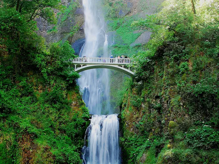
Member photos
Common questions about Multnomah Falls and Waterfall Corridor Timed Use Permits
- Can you reserve a site at Multnomah Falls and Waterfall Corridor Timed Use Permits?
- Yes, Multnomah Falls and Waterfall Corridor Timed Use Permits is reservable through Recreation.gov.
Contact
- Phone 541-308-1700
- Book Recreation.gov
Recreation.gov last updated this record on 2026-02-25.
Facility information and photographs from Recreation.gov (RIDB). SpotOpened is not affiliated with Recreation.gov or any federal agency.
Comments