Lower Tonto Creek
Campground · 9 bookable sites ·
Managed by the USDA Forest Service
Tonto National Forest (NF) · Open Access
- 9
- Bookable sites
- up to 10
- People per site
- 5,627 ft
- Elevation
Overview
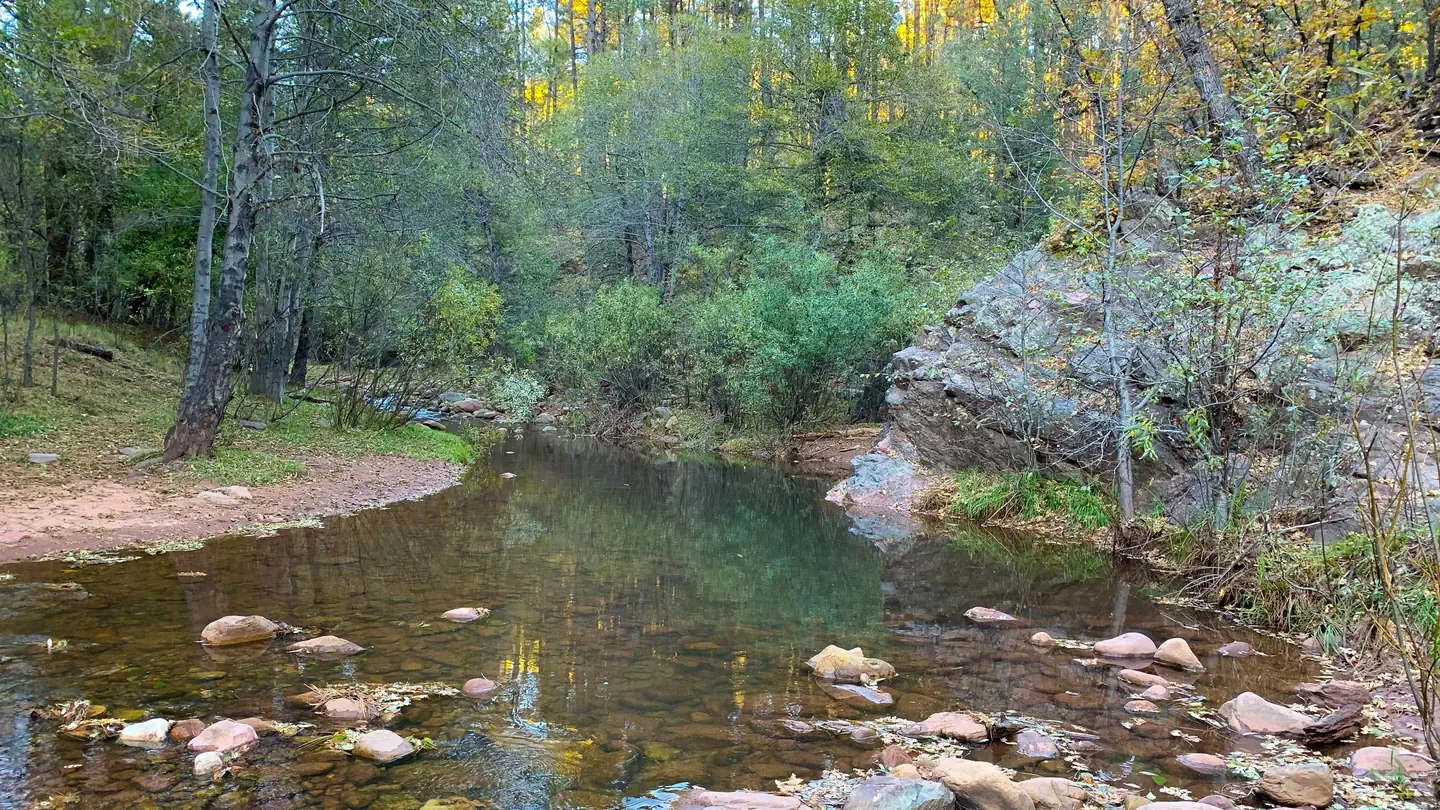
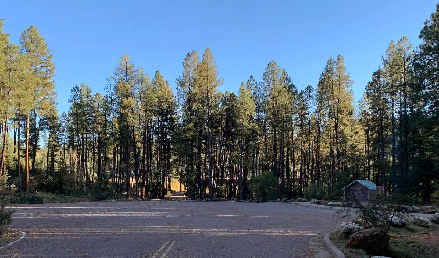
The Lower Tonto Creek Campground is tucked away right next to the main highway just south of where the Tonto and Horton Creeks merge. Families may enjoy fishing at both Tonto and Horton Creeks or pass time hiking through nearby Horton Creek Trail or Derrick Trail. The Lower Tonto Creek Campground has a large open-space parking lot and paved walkway makes it accessible with only a light hike to the creek.
This location is available on a first-come, first-served basis only.
Visitors are required to physically arrive at the campground to purchase and claim a site. Once on-site, you will be able to pay for your campsite(s) by scanning a QR code using the Recreation.gov mobile app, and the Scan and Pay feature.
You will need to first download the free Recreation.gov mobile app https://www.recreation.gov/mobile-app prior to your arrival as this area has limited or no cellular service.
There is no adjacent parking spot to any camp site. Walk-in access only to all campsites (paved sidewalk is provided).
Map to campground here.
Please note: This campground is right next to Hwy 260 and receives a considerable amount of traffic noise and light throughout the day & night.
Recreation
The union of Tonto and Horton Creeks is at the north end of the Upper Tonto Creek campground. Fishing in both creeks is a popular sport. The trailheads for Horton Creek Trail 285 and Derrick Trail 33 are located in the Upper Tonto Creek campground. Both of these trails access the Highline National Recreation Trail (#31
Natural Features
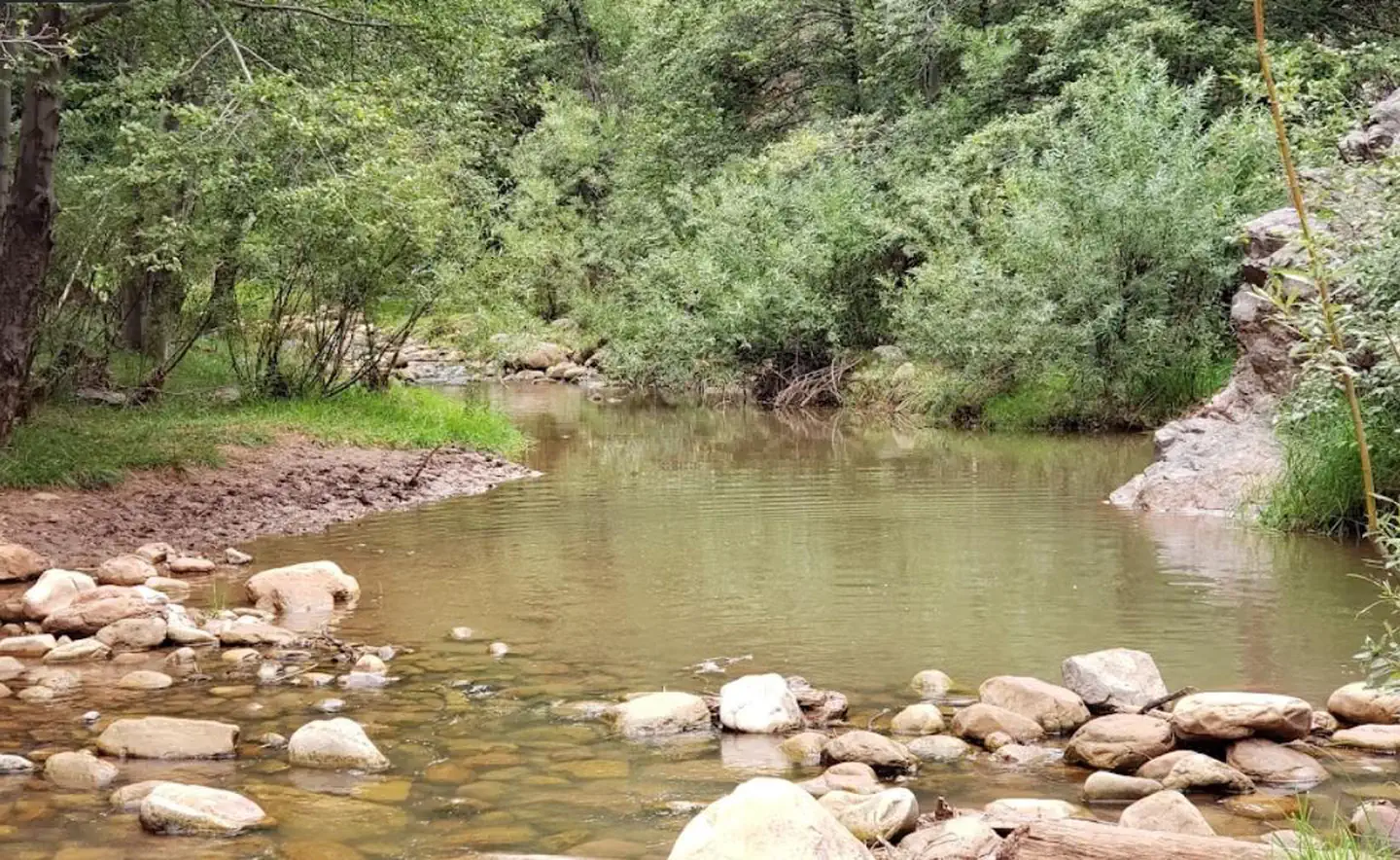
Located just South of where the Tonto and Horton Creeks merge. Campsites are dotted along a paved sidewalk surrounded by tall Pines, situated just next to Tonto Creek.
Please note: This campground is right next to Hwy 260 and receives a considerable amount of traffic noise and light throughout the day & night.
The facts
- Season: April – October — USDA Forest Service, Aug 24, 2026
- 9 bookable sites
- 13 sites in total, including non-bookable
- Up to 10 people per site
- Loops: Lower Tonto Creek, Scan & Pay, Scan and Pay
Site types
- 9 Walk To
- 4 Management
Amenities
- Campfires allowed
- Pets allowed
- Water hookups — not available
Not recorded upstream: electric hookups, sewer hookups, fire pits, picnic tables, grills, shade.
13 campsites at Lower Tonto Creek
Check-in 2:00 PM · Check-out 11:00 AM
| Site | Loop | Type | Entry | Surface | Access | Max rig | People | |
|---|---|---|---|---|---|---|---|---|
| 001 | Lower Tonto Creek | Walk To | — | — | Hike In | — | 10 | 🐾 |
| 002 | Lower Tonto Creek | Walk To | — | — | Hike In | — | 10 | 🐾 |
| 003 | Lower Tonto Creek | Walk To | — | — | Hike In | — | 10 | 🐾 |
| 004 | Lower Tonto Creek | Walk To | — | — | Hike In | — | 10 | 🐾 |
| 005 | Lower Tonto Creek | Walk To | — | — | Hike In | — | 10 | 🐾 |
| 006 | Lower Tonto Creek | Walk To | — | — | Hike In | — | 10 | 🐾 |
| 007 | Lower Tonto Creek | Walk To | — | — | Hike In | — | 10 | 🐾 |
| 008 | Lower Tonto Creek | Walk To | — | — | Hike In | — | 10 | 🐾 |
| 009 | Lower Tonto Creek | Walk To | — | — | Hike In | — | 10 | 🐾 |
| Scan & Pay | Scan & Pay | Management | — | — | Hike In | — | 10 | 🐾 |
| ScanPay 2 | Scan and Pay | Management | — | — | — | — | — | |
| ScanPay 3 | Scan and Pay | Management | — | — | — | — | — | |
| ScanPay 4 | Scan and Pay | Management | — | — | — | — | — |
Getting there
This site is 15 miles northeast of Payson. From Payson, travel 15 miles east on State Hwy. 260. Just east of mile marker 269 at Kohl’s Ranch, turn left (north) on Forest Road (FR) 289.
34.33255, -111.09731 · 34°19'57.2"N 111°5'50.3"W
Typical weather
| Jan | Feb | Mar | Apr | May | Jun | Jul | Aug | Sep | Oct | Nov | Dec | |
|---|---|---|---|---|---|---|---|---|---|---|---|---|
| High °F | — | — | — | — | — | — | — | — | — | — | — | — |
| Low °F | — | — | — | — | — | — | — | — | — | — | — | — |
| Precip in | 4.3 | 2.9 | 3.1 | 1.1 | 1.1 | 0.3 | 3.5 | 4.1 | 2.4 | 1.9 | 2.0 | 3.4 |
1991–2020 averages from the nearest NOAA station, 3.5 mi away — not measured at the facility itself, and elevation can make a real difference over that distance.
Map
More photos
Member photos
Common questions about Lower Tonto Creek
- Can you reserve a site at Lower Tonto Creek?
- Yes, Lower Tonto Creek is reservable through Recreation.gov.
- How many campsites does Lower Tonto Creek have?
- 13 sites in total, of which 9 can be booked.
- Are pets allowed at Lower Tonto Creek?
- Yes, pets are allowed at Lower Tonto Creek.
- Does Lower Tonto Creek have hookups?
- No hookups are recorded here.
- Are campfires allowed at Lower Tonto Creek?
- Campfires are allowed at Lower Tonto Creek. Check for a current fire restriction before you go.
Also listed by
Lower Tonto Creek also appears in other federal recreation data. Facts below are matched by name and location, not confirmed by Lower Tonto Creek's operator.
USDA Forest Service — data as of Aug 24, 2026
- Scan & Pay only accepted (No cash or checks accepted) Download Recreation.gov app (app information) and log into account before heading to campground. See instructions here.
- $20 per night for campsites
- *America the Beautiful Interagency Senior or Access Pass holders receive 50% discount (persons over 62 or living with a permanent disability) for single camp units only.
Restrictions:
- 14-day stay limit.
- No OHV recreational riding within the campground.
- No firewood sales, no dump station and no shower building.
- Dogs are allowed and must be kept on a leash.
- Please use trash receptacles or pack it in, pack it out.
- All campgrounds have posted Rules & Regulations at entrance kiosks. Please read and observe all rules.
- Sites are small, so trailers have to be short or only over camper type mounts.
- Walk-in tent sites only.
- Quiet hours 10:00 pm to 6:00 am (running generators are not permitted during quiet hours).
Camping near Lower Tonto Creek
- Upper Tonto Creek 0.5 mi · Campground · we watch it
- Ponderosa (Az) 2.5 mi · Campground · we watch it
- Christopher Creek 4 mi · Campground · we watch it
- Sharp Creek 6.1 mi · Campground · we watch it
- Mogollon Campground 8.1 mi · Campground · we watch it
- Horton 0.5 mi · Facility
- Knoll Lake Campground 6.5 mi · Campground
- Fr 9350 Campground 6.6 mi · Campground
- Knoll Lake 6.9 mi · Facility
- Carr Lake Trailhead 7.2 mi · Facility
- Bear Canyon Lake and Camping Area 7.3 mi · Campground
- Woods Canyon Lake Area Boating Site 8.6 mi · Facility
Contact
- Phone N/A
- Book Recreation.gov
Recreation.gov last updated this record on 2026-03-11.
Facility information and photographs from Recreation.gov (RIDB). SpotOpened is not affiliated with Recreation.gov or any federal agency.
Comments