King Range Wilderness Permits (Lost Coast)
Permit ·
Managed by the Bureau of Land Management
Arcata Field Office (Bureau of Land Management CA) · Open Access
- 1,010 ft
- Elevation
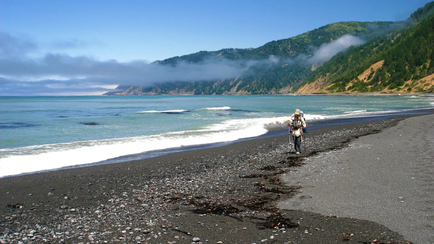
Getting there
40.05679, -123.97563 · 40°3'24.5"N 123°58'32.3"W
Typical weather
| Jan | Feb | Mar | Apr | May | Jun | Jul | Aug | Sep | Oct | Nov | Dec | |
|---|---|---|---|---|---|---|---|---|---|---|---|---|
| High °F | — | — | — | — | — | — | — | — | — | — | — | — |
| Low °F | — | — | — | — | — | — | — | — | — | — | — | — |
| Precip in | 17.6 | 14.2 | 13.6 | 10.1 | 3.6 | 0.6 | 0.1 | 0.2 | 0.5 | 2.9 | 10.3 | 14.5 |
1991–2020 averages from the nearest NOAA station, 1.2 mi away — not measured at the facility itself, and elevation can make a real difference over that distance.
Map
More photos
Member photos
Common questions about King Range Wilderness Permits (Lost Coast)
- Can you reserve a site at King Range Wilderness Permits (Lost Coast)?
- Yes, King Range Wilderness Permits (Lost Coast) is reservable through Recreation.gov.
Camping near King Range Wilderness Permits (Lost Coast)
- Mad River Campground 36 mi · Campground · we watch it
- Fir Cove Campground 36.2 mi · Campground · we watch it
- Salmon Pass Trail Docent Guided Hiking Tours 40.1 mi · Tickets · we watch it
- Nadelos Campground 2.9 mi · Campground
- Wailaki Campground 3 mi · Campground
- Paradise Royale Mt Bike Trail 4.6 mi · Facility
- Tolkan Campground 4.7 mi · Campground
- Lost Coast Trail 5.4 mi · Facility
- Shelter Cove - Mal Coombs Park 5.5 mi · Facility
- Mattole Campground 25.7 mi · Campground
- Bailey Canyon Campground 36.1 mi · Campground
- Forest Glen Campground 40.8 mi · Campground
Contact
- Book Recreation.gov
Recreation.gov last updated this record on 2026-02-25.
Facility information and photographs from Recreation.gov (RIDB). SpotOpened is not affiliated with Recreation.gov or any federal agency.
Comments