Isaac Creek Shelters
Campground · 3 bookable sites ·
Managed by the US Army Corps of Engineers
- 3
- Bookable sites
- 60 ft
- Elevation
Overview
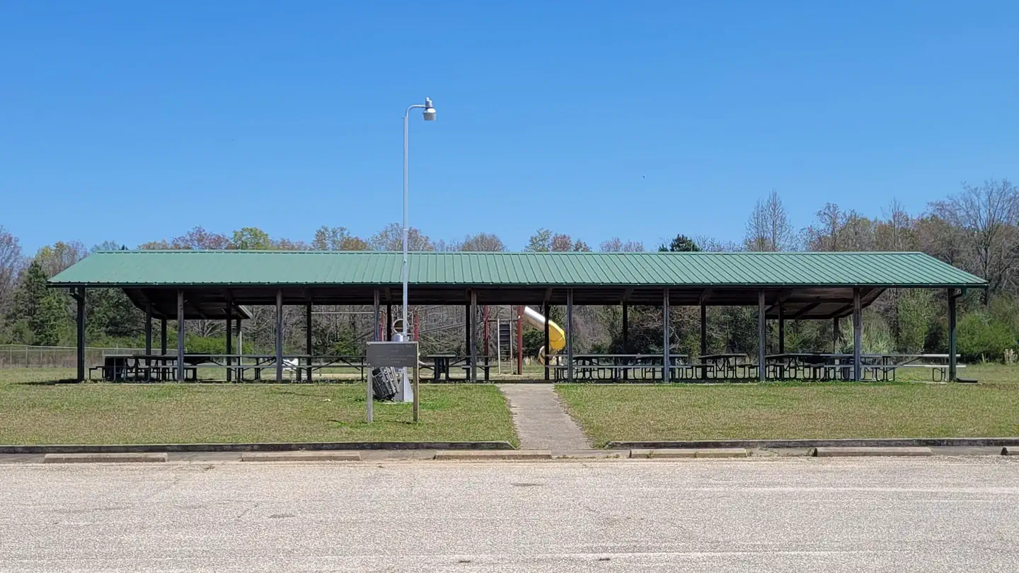
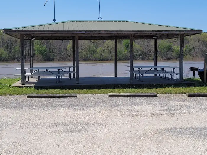
Isaac Creek / Damsite East Bank is located on Claiborne Lake in Alabama's southwest Hill Country. Day use shelters are located above and below Claiborne Lock and Dam The lake encompasses more than 60 miles of the Alabama River, and Isaac Creek has great appeal to sportsmen, birders, naturalists or those simply wanting to relax in the outdoors.
The facts
- 3 bookable sites
- 3 sites for day use only
- Loops: Isaac Creek
Site types
- 3 Group Shelter Electric
Amenities
- Electric hookups
- Water hookups
Not recorded upstream: sewer hookups, campfires allowed, fire pits, picnic tables, grills, shade, pets allowed.
3 campsites at Isaac Creek Shelters
Check-in 07:00 AM · Check-out 07:00 PM
| Site | Loop | Type | Entry | Surface | Max rig | People | |
|---|---|---|---|---|---|---|---|
| Shelter #1 | Isaac Creek | Group Shelter Electric | — | — | — | — | |
| Shelter #2 | Isaac Creek | Group Shelter Electric | — | — | — | — | |
| Shelter #3 | Isaac Creek | Group Shelter Electric | — | — | — | — |
Getting there
31.61514, -87.54726 · 31°36'54.5"N 87°32'50.1"W
Typical weather
| Jan | Feb | Mar | Apr | May | Jun | Jul | Aug | Sep | Oct | Nov | Dec | |
|---|---|---|---|---|---|---|---|---|---|---|---|---|
| High °F | — | — | — | — | — | — | — | — | — | — | — | — |
| Low °F | — | — | — | — | — | — | — | — | — | — | — | — |
| Precip in | 5.7 | 4.6 | 5.4 | 4.0 | 4.5 | 4.6 | 4.1 | 4.5 | 3.9 | 3.1 | 4.2 | 5.8 |
1991–2020 averages from the nearest NOAA station, 2.8 mi away — not measured at the facility itself, and elevation can make a real difference over that distance.
Map
More photos
Member photos
Common questions about Isaac Creek Shelters
- Can you reserve a site at Isaac Creek Shelters?
- Yes, Isaac Creek Shelters is reservable through Recreation.gov.
- How many campsites does Isaac Creek Shelters have?
- 3 sites.
- Does Isaac Creek Shelters have hookups?
- Electric, Water.
Camping near Isaac Creek Shelters
- Isaac Creek 0.5 mi · Campground · we watch it
- Lock 1 28.7 mi · Campground · we watch it
- Bridgeport Beach Shelter 34.6 mi · Campground · we watch it
- East Bank Beach Shelters 35.8 mi · Campground · we watch it
- Millers Ferry Campground 35.8 mi · Campground · we watch it
- Service 36.2 mi · Campground · we watch it
- Chilatchee Creek 39.7 mi · Campground · we watch it
- Elm Bluff Campground 45.6 mi · Campground · we watch it
- Six Mile Creek 58.1 mi · Campground · we watch it
- Ellis Landing Day Use 32.2 mi · Activity pass
- Leon Brooks Hines Public Fishing Lake 58.5 mi · Facility
Contact
- Phone 334-682-4244
- Email alabamariverlakes@usace.army.mil
- Book Recreation.gov
Recreation.gov last updated this record on 2026-02-25.
Facility information and photographs from Recreation.gov (RIDB). SpotOpened is not affiliated with Recreation.gov or any federal agency.
Comments