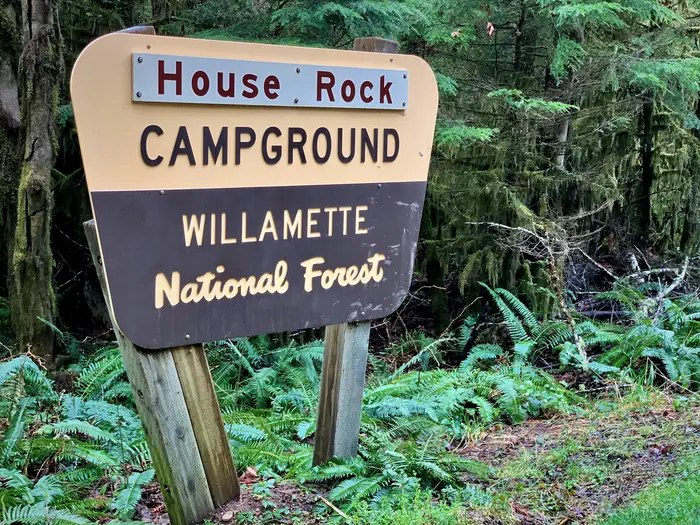
House Rock Campground
Campground · 16 bookable sites ·
Managed by the USDA Forest Service
Willamette National Forest (NF) · Open Access
- 16
- Bookable sites
- 65 ft
- Max rig length
- up to 8
- People per site
- 1,691 ft
- Elevation
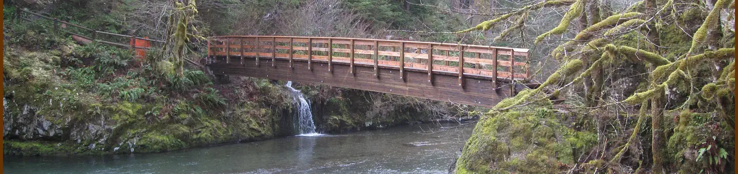
Overview
There are 17 campsites set in an upper and lower loop. Some of the sites can accommodate trailers up to 22 feet in length. The upper loop has one accessible single vault toilet while the lower loop has two accessible single vault toilets. Drinking water is available from hand pumps located in both the upper and lower loops.
The adjacent picnic area is part of the site and has four tables and two grills, and provides access to the Horse Rock Trial, a 0.8-mile loop trail.
Scan and Pay might be offered at this campground; It is recommended that you pay by cash or check for FCFS campsites. There are no refunds, modifications, cancellations, or other fee changes allowed with FCFS payments. This system is the same as putting cash into a fee tube and cannot be refunded. Please download the Rec.Gov app prior to arriving at the campground as there may be no cellular service or very limited service at the campground. If no Scan & Pay option is available you must pay via cash or check.
Reservations may be made up to 6 months in advance of arrival date by reserving online at RECREATION.GOV or by calling 877-444-6777.
Recreation
Swimming is popular, especially because many sites have riverfront access to shallow swimming areas. Anglers can cast for native cutthroat trout.In addition to the House Rock Trail, hikers have access to a variety of other trails in the Tombstone Pass Area, like the Iron Mountain Trail.
Facilities
The campground road and parking spurs are composed of packed dirt and rock. The double-loop area comes with accessible vault toilets and drinking water from hand pumps. Picnic tables, campfire rings and grills are at each site.
Campfire wood is not readily available at the park. Please plan to bring firewood or purchase from a nearby vendor. Linn County Parks staff, may occasionally, pass through the park with firewood available for purchase.
Natural Features
House Rock Campground is perched on the confluence of Sheep Creek and the South Santiam River in an old growth grove.The river is a 66-mile tributary of the Santiam River that is fed by snowmelt from the Cascade Mountains.
Nearby Attractions
Campers enjoy hiking the House Rock Trail, which starts at the day-use area. Part of the trail shares paths with the historic Santiam Wagon Road, a trail used to transport livestock east across the Cascade Mountains to central Oregon's grasslands. In addition to the House Rock Trail, hikers have access to a variety of other trails in the Tombstone Pass Area, like the Iron Mountain Trail. Swimming is popular, especially because many sites have riverfront access to shallow swimming areas. Anglers can cast for native cutthroat trout.
The facts
- Season: May – October — USDA Forest Service, Aug 24, 2026
- 16 bookable sites
- 17 sites in total, including non-bookable
- Vehicles up to 65 ft
- Up to 8 people per site
- Loops: Lower, S&P, Upper
Site types
- 16 Standard Nonelectric
- 1 Management
Amenities
- Campfires allowed
- Fire pits
- Picnic tables
- Grills
- Shade
- Pets allowed
Not recorded upstream: electric hookups, water hookups, sewer hookups.
17 campsites at House Rock Campground
Check-in 2:00 PM · Check-out 12:00 PM
| Site | Loop | Type | Entry | Surface | Grade | Water | Max rig | People | |
|---|---|---|---|---|---|---|---|---|---|
| 002 | Lower | Standard Nonelectric | Back In | Gravel | — | Riverfront | 33 ft | 8 | 🐾 |
| 003 | Lower | Standard Nonelectric | Back In | Gravel | — | Riverfront | 26 ft | 8 | 🐾 |
| 004 | Lower | Standard Nonelectric | Back In | Gravel | — | Riverfront | 25 ft | 8 | 🐾 |
| 005 | Lower | Standard Nonelectric | Back In | Gravel | — | Riverfront | 35 ft | 8 | 🐾 |
| 006 | Lower | Standard Nonelectric | Back In | Gravel | — | Riverfront | 46 ft | 8 | 🐾 |
| 007 | Lower | Standard Nonelectric | Back In | Gravel | — | Riverfront | 29 ft | 8 | 🐾 |
| Standard S&P | S&P | Management | Back In | Gravel | — | Riverfront | 26 ft | 8 | 🐾 |
| 008 | Upper | Standard Nonelectric | Back In | Gravel | Moderate | — | 37 ft | 8 | 🐾 |
| 009 | Upper | Standard Nonelectric | Back In | Gravel | Moderate | Riverfront | 28 ft | 8 | 🐾 |
| 010 | Upper | Standard Nonelectric | Back In | Gravel | Slight | Riverfront | 25 ft | 8 | 🐾 |
| 011 | Upper | Standard Nonelectric | Back In | Gravel | — | — | 25 ft | 8 | 🐾 |
| 012 | Upper | Standard Nonelectric | Back In | Gravel | Moderate | Riverfront | 27 ft | 8 | 🐾 |
| 013 | Upper | Standard Nonelectric | Back In | Gravel | — | — | 20 ft | 8 | 🐾 |
| 014 | Upper | Standard Nonelectric | Back In | Gravel | — | Riverfront | 65 ft | 8 | 🐾 |
| 015 | Upper | Standard Nonelectric | Back In | Gravel | — | Riverfront | 30 ft | 8 | 🐾 |
| 016 | Upper | Standard Nonelectric | Back In | Gravel | — | Riverfront | 20 ft | 8 | 🐾 |
| 017 | Upper | Standard Nonelectric | Back In | Gravel | — | Riverfront | 21 ft | 8 | 🐾 |
Getting there
44.39361, -122.24389 · 44°23'37.0"N 122°14'38.0"W
Typical weather
| Jan | Feb | Mar | Apr | May | Jun | Jul | Aug | Sep | Oct | Nov | Dec | |
|---|---|---|---|---|---|---|---|---|---|---|---|---|
| High °F | — | — | — | — | — | — | — | — | — | — | — | — |
| Low °F | — | — | — | — | — | — | — | — | — | — | — | — |
| Precip in | 11.4 | 8.8 | 9.6 | 7.9 | 5.3 | 3.8 | 0.6 | 0.9 | 2.9 | 7.3 | 12.4 | 14.2 |
1991–2020 averages from the nearest NOAA station, 3.7 mi away — not measured at the facility itself, and elevation can make a real difference over that distance.
Map
More photos
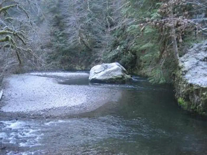
Member photos
Common questions about House Rock Campground
- Can you reserve a site at House Rock Campground?
- Yes, House Rock Campground is reservable through Recreation.gov.
- How many campsites does House Rock Campground have?
- 17 sites in total, of which 16 can be booked.
- What is the maximum RV length at House Rock Campground?
- 65 ft. That is the longest vehicle the sites here are recorded as taking; individual sites may be shorter.
- Are pets allowed at House Rock Campground?
- Yes, pets are allowed at House Rock Campground.
- Are campfires allowed at House Rock Campground?
- Campfires are allowed at House Rock Campground. Check for a current fire restriction before you go.
Also listed by
House Rock Campground also appears in other federal recreation data. Facts below are matched by name and location, not confirmed by House Rock Campground's operator.
USDA Forest Service — data as of Aug 24, 2026
- Single Campsites - $23 per night
- Extra Vehicles - $8 per vehicle, per night
- Day Use - No fee
Restrictions:
- Camping is not allowed more than 14 days in a 60 day period.
- Check-in time: 2:00 pm or later. Check-out time: 12:00 pm
- Use of chainsaws in the campground is prohibited
- Dogs MUST be on leash at all times within the campground
Camping near House Rock Campground
- Sevenmile 1.8 mi · Campground · we watch it
- Fernview Group Site 2.8 mi · Campground · we watch it
- Yukwah Campground 4.7 mi · Campground · we watch it
- Longbow Organization Group 6.1 mi · Campground · we watch it
- Trout Creek Campground - Willamette (OR) 8.3 mi · Campground · we watch it
- Lost Prairie Group Site 8.3 mi · Campground · we watch it
- Menagerie Wilderness 4 mi · Facility
- Trout Creek Campground 5.2 mi · Campground
- South Pyramid Horse Camp 8.7 mi · Facility
- Middle Santiam Wilderness 9.4 mi · Facility
- Lakes End Campground 10.6 mi · Campground
- Smith Reservoir Area 11.3 mi · Facility
Contact
- Phone 541-967-3917
- Email r6_willamette_wwweb_frontdesk@fs.fed.us
- Book Recreation.gov
Recreation.gov last updated this record on 2026-07-07.
Facility information and photographs from Recreation.gov (RIDB). SpotOpened is not affiliated with Recreation.gov or any federal agency.
Comments