Rock Creek Campground (TN)
Campground · Tennessee · 11 bookable sites ·
Managed by the National Park Service
Obed Wild and Scenic River (National Wild & Scenic River) · Open Access
- 11
- Bookable sites
- 20 ft
- Max rig length
- up to 8
- People per site
- 1
- Accessible site
- 877 ft
- Elevation
Overview
Rock Creek Campground is located near the Emory River in the Obed Wild and Scenic River.Recreation
Whitewater paddling is available seasonally in the Obed WSR. Rock climbing is another challenging activity, as is boulder climbing. The Obed WSR sports several unique trails for hikers, most notably the Point Trail and a portion of the Cumberland Trail. Those who like to fish will enjoy the Obed WSR, as a variety of bass, bluegill, catfish and other fish populate the river. Birdwatching is also a fun activity, particularly during the migratory seasons.Facilities
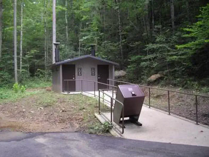
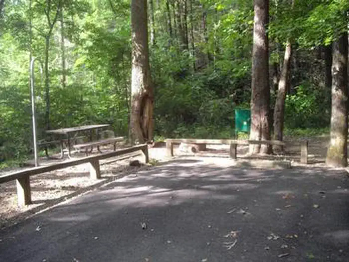
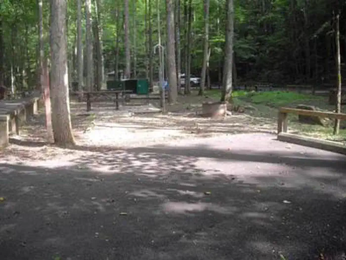
Rock Creek Campground has 11 campsites. Each site has a picnic table, food storage locker, fire ring with grill, lantern hook and paved parking. A vault toilet is also centrally located in the campground.Natural Features
The Obed River winds through the Cumberland Plateau offering a variety of recreational activities for everyone.Nearby Attractions
Just a few miles from the park is Frozen Head State Park which encompasses more than 24,000 acres of forest with mountainous terrain at an elevation from 1,340 feet to over 3,000 feet.Catoosa Wildlife Management Area is an 82,000 acre preserve with a focus on hunting and fishing but offering a wealth of other recreational activities as well.
Lone Mountain State Forest is 3,600 acres and has 15 miles of trails for hikers, mountain bikers and horseback riders.
The facts
- 11 bookable sites
- 1 accessible site
- Vehicles up to 20 ft
- Up to 8 people per site
- Loops: Rock Creek Campground (TN)
Site types
- 11 Tent Only Nonelectric
Amenities
- Campfires allowed
- Fire pits
- Picnic tables
- Grills
- Shade
- Pets allowed
- Water hookups — not available
Not recorded upstream: electric hookups, sewer hookups.
11 campsites at Rock Creek Campground (TN)
Check-in 12:00 PM · Check-out 12:00 PM
| Site | Loop | Type | Entry | Surface | Grade | Access | Water | Max rig | People | |
|---|---|---|---|---|---|---|---|---|---|---|
| 1 | Rock Creek Campground (TN) | Tent Only Nonelectric | Back In | Gravel | Slight | Drive In | Riverfront | 20 ft | 8 | 🐾 |
| 10 | Rock Creek Campground (TN) | Tent Only Nonelectric | Back In | Gravel | Slight | Hike In | Riverfront | 20 ft | 8 | 🐾 |
| 11 | Rock Creek Campground (TN) | Tent Only Nonelectric | Back In | Gravel | Slight | Hike In | Riverfront | 20 ft | 8 | 🐾 |
| 2 | Rock Creek Campground (TN) | Tent Only Nonelectric | Back In | Gravel | Slight | Drive In | Riverfront | 20 ft | 8 | 🐾 |
| 3 | Rock Creek Campground (TN) | Tent Only Nonelectric | Back In | Gravel | Slight | Drive In | Riverfront | 20 ft | 8 | 🐾 |
| 4 | Rock Creek Campground (TN) | Tent Only Nonelectric | Back In | Gravel | Slight | Drive In | Riverfront | 20 ft | 8 | 🐾 |
| 5 | Rock Creek Campground (TN) | Tent Only Nonelectric | Back In | Gravel | Slight | Drive In | Riverfront | 20 ft | 8 | 🐾 |
| 6 | Rock Creek Campground (TN) | Tent Only Nonelectric | Back In | Gravel | Slight | Drive In | Riverfront | 20 ft | 8 | 🐾 |
| 7 | Rock Creek Campground (TN) | Tent Only Nonelectric | Back In | Gravel | Slight | Drive In | Riverfront | 20 ft | 8 | 🐾 |
| 8 | Rock Creek Campground (TN) | Tent Only Nonelectric | Back In | Gravel | Slight | Drive In | Riverfront | 20 ft | 8 | ♿ 🐾 |
| 9 | Rock Creek Campground (TN) | Tent Only Nonelectric | Back In | Gravel | Slight | Hike In | Riverfront | 20 ft | 8 | 🐾 |
Getting there
From the East: Take State Route 62 West, then veer to the right onto State Route 27. Make a left onto Kingston Street, and follow the brown Obed road signs to the visitor center on North Maiden Street. To continue on to the campground, stay on North Maiden Street until reaching an intersection. Stay straight on North Maiden Street crossing Main Street/Old Hwy 27 until you reach Spring Street. Turn right onto Spring Street and continue on to the sharp left-handed curve where the road becomes Catoosa Road. Stay on Catoosa Road for approximately 5.5 miles until reaching the entrance of the campground.
From the West: Take State Route 62 East, then make a right onto State Route 27 South. Make a right onto Kingston Street, and follow the brown Obed road signs to the visitor center on North Maiden Street. To continue on to the campground, stay on North Maiden Street until reaching an intersection. Stay straight on North Maiden Street crossing Main Street/Old Hwy 27 until you reach Spring Street. Turn right onto Spring Street and continue on to the sharp left-handed curve where the road becomes Catoosa Road. Stay on Catoosa Road for approximately 5.5 miles until reaching the entrance of the campground.
From the North: Follow State Route 27 South into Wartburg. Make a right onto Kingston Street, and follow the brown Obed road signs to the visitor center on North Maiden Street. To continue on to the campground, stay on North Maiden Street until reaching an intersection. Stay straight on North Maiden Street crossing Main Street/Old Hwy 27 until you reach Spring Street. Turn right onto Spring Street and continue on to the sharp left-handed curve where the road becomes Catoosa Road. Stay on Catoosa Road for approximately 5.5 miles until reaching the entrance of the campground.
From the South: Follow State Route 27 North into Wartburg. Make a left onto Kingston Street, then follow the brown Obed road signs to the visitor center on North Maiden Street. To continue on to the campground, stay on North Maiden Street until reaching an intersection. Stay straight on North Maiden Street crossing Main Street/Old Hwy 27 until you reach Spring Street. Turn right onto Spring Street and continue on to the sharp left-handed curve where the road becomes Catoosa Road. Stay on Catoosa Road for approximately 5.5 miles until reaching the entrance of the campground.
36.07020, -84.66331 · 36°4'12.7"N 84°39'47.9"W
Typical weather
Typically 86°F in Jul, down to 46°F in Jan.
| Jan | Feb | Mar | Apr | May | Jun | Jul | Aug | Sep | Oct | Nov | Dec | |
|---|---|---|---|---|---|---|---|---|---|---|---|---|
| High °F | 46 | 50 | 59 | 69 | 76 | 83 | 86 | 85 | 80 | 70 | 59 | 50 |
| Low °F | 26 | 28 | 35 | 42 | 51 | 59 | 63 | 62 | 54 | 43 | 34 | 29 |
| Precip in | 4.8 | 4.6 | 5.0 | 5.9 | 4.7 | 5.1 | 5.7 | 3.4 | 4.3 | 3.3 | 3.9 | 5.7 |
1991–2020 averages from the nearest NOAA station, 6.6 mi away — not measured at the facility itself, and elevation can make a real difference over that distance.
Map
More photos
Member photos
Common questions about Rock Creek Campground (TN)
- Can you reserve a site at Rock Creek Campground (TN)?
- Yes, Rock Creek Campground (TN) is reservable through Recreation.gov.
- How many campsites does Rock Creek Campground (TN) have?
- 11 sites.
- What is the maximum RV length at Rock Creek Campground (TN)?
- 20 ft. That is the longest vehicle the sites here are recorded as taking; individual sites may be shorter.
- Are pets allowed at Rock Creek Campground (TN)?
- Yes, pets are allowed at Rock Creek Campground (TN).
- Does Rock Creek Campground (TN) have hookups?
- No hookups are recorded here.
- Are campfires allowed at Rock Creek Campground (TN)?
- Campfires are allowed at Rock Creek Campground (TN). Check for a current fire restriction before you go.
Camping near Rock Creek Campground (TN)
- Bandy Creek 29 mi · Campground · we watch it
- Station Camp Campground 33 mi · Campground · we watch it
- Bear Creek Campground - KY 40.2 mi · Campground · we watch it
- Obey River Park 42.5 mi · Campground · we watch it
- Obed Visitor Center 4.4 mi · Facility
- Oak Ridge Visitor Center 22.1 mi · Facility
- American Museum of Science and Energy 23.1 mi · Facility
- Bandy Creek Visitor Center 28.9 mi · Facility
- Great Meadows Campground 38.8 mi · Campground
- Bell Farm Horse Camp 41.4 mi · Facility
- Frank H. McClung Museum 41.9 mi · Facility
- Blue Heron Interpretive Center 42 mi · Facility
Contact
- Phone (423) 346-6294
- Email obri_information@nps.gov
- Book Recreation.gov
Recreation.gov last updated this record on 2026-02-25.
Facility information and photographs from Recreation.gov (RIDB). SpotOpened is not affiliated with Recreation.gov or any federal agency.
Comments