Sunset Cove Campground
Campground · Oregon · 20 bookable sites ·
Managed by the USDA Forest Service
Deschutes National Forest (NF) · Open Access
- 20
- Bookable sites
- 40 ft
- Max rig length
- up to 12
- People per site
- 4,800 ft
- Elevation
Overview
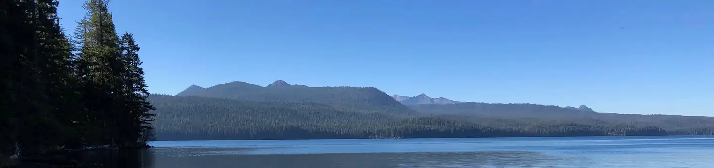
Located next to Odell Lake, Sunset Cove Campground is in the midst of sparkling lakes, tranquil streams and nearby scenic peaks that provide visitors with the perfect backdrop for fishing, boating, hiking and biking throughout the area.Recreation
Odell Lake also offers beautiful campsites tucked away in thick forests and some excellent opportunities for water recreation as boating, fishing and wind surfing are all popular. Boats are the most effective way to fish this lake but be aware of afternoon winds as the lake can get rough. Both motorized and non-motorized boats are allowed on this body of water.Facilities
Sunset Cove Campground can accommodate RV, trailer or tent-campers however water and electric hookups are not available. All sites are equipped with a picnic table and campfire ring with grill and the campground has vault toilets and drinking water available. This campground offers a boat ramp with access to Odell Lake as well as a handful of first-come, first-served boat slips.Natural Features
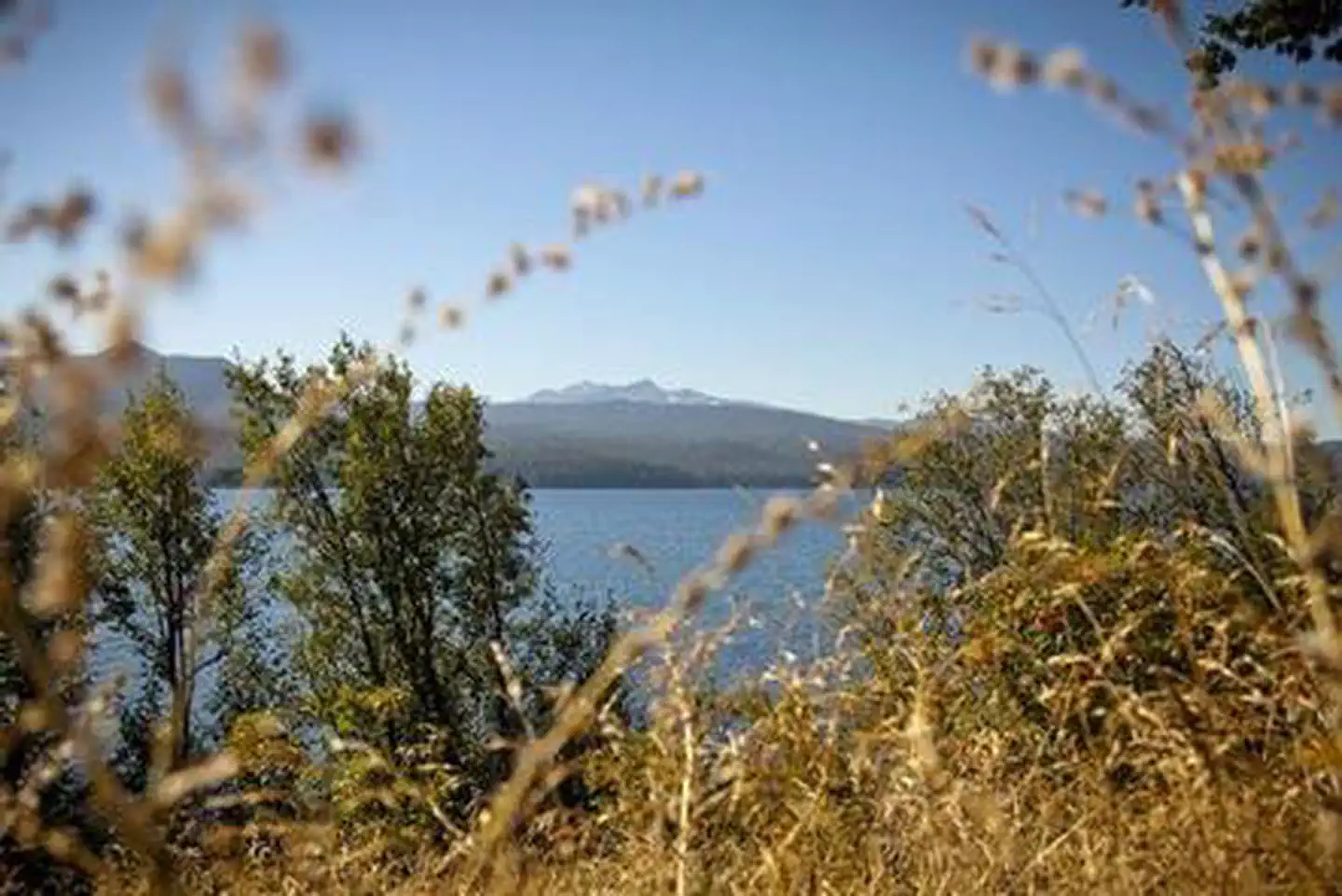
This area offers a beautiful mix of Oregon forest types with Douglas fir, white fir, hemlock and a few ponderosa pines towering over a variety of springtime flowers. Huckleberry is common in the underbrush of the campground. Wildlife found in the area include deer, elk, pine martens, ravens, native fish and an occasional black bear.Diamond Peak stands as a sentinel over Odell Lake as one of the blue giants of the Deschutes National Forest and the most prominent peak in the nearby Diamond Peak Wilderness. At an elevation of 8,744 feet, this shield volcano formed as the entire Cascades mountain range was undergoing volcanic activity and uplift.
Nearby Attractions
Campers can explore wilderness areas, rivers, lakes and reservoirs, and approximately 1,600 miles of trails that comprise nearly 2.5 million acres within the Deschutes National Forest and the adjacent Ochoco National Forest.Visitors can enjoy traveling the Cascade Lakes Scenic Byway, known as Oregon's Highway in the Sky, which climbs into the clouds on a 66-mile drive through the Cascade Range, weaving past snow-capped peaks and alpine lakes.
Lava Lands Visitor Center in nearby Bend, Oregon, and the unique geological landscape of Newberry National Volcanic Monument draw visitors to the region as well. It is a great starting point for visitors to learn about the diverse landscape and history of the area through interpretive programs and exhibits. Visitors can also explore the Lava River Cave, located in the Newberry National Volcanic Monument. At 5,211 feet in length, the northwest section of the cave is the longest continuous lava tube in Oregon.
A nearby resort on Odell Lake offers lodging and a general store with camping supplies, coffee, snacks and fishing licenses.
Charges & Cancellations
Once your reservation start date has begun, neither the Recreation.gov Contact Center nor the campground manager will be able to modify your reservation.
The facts
- Season: Tentative Opening: April 11, 2025 – October 19, 2025 — USDA Forest Service, Aug 24, 2026
- 20 bookable sites
- 21 sites in total, including non-bookable
- Vehicles up to 40 ft
- Up to 12 people per site
- Loops: Loop 1, Loop 2, Middle
Site types
- 20 Standard Nonelectric
- 1 Management
Amenities
- Campfires allowed
- Fire pits
- Picnic tables
- Shade
- Pets allowed
Not recorded upstream: electric hookups, water hookups, sewer hookups, grills.
21 campsites at Sunset Cove Campground
Check-in 2:00 PM · Check-out 12:00 PM
| Site | Loop | Type | Entry | Surface | Grade | Max rig | People | |
|---|---|---|---|---|---|---|---|---|
| 006 | Loop 1 | Standard Nonelectric | Back In | Gravel | Slight | 32 ft | 6 | 🐾 |
| 007 | Loop 1 | Standard Nonelectric | Back In | Gravel | Slight | 32 ft | 6 | 🐾 |
| 008 | Loop 1 | Standard Nonelectric | Back In | Gravel | Slight | 32 ft | 6 | 🐾 |
| 009 | Loop 1 | Standard Nonelectric | Back In | Gravel | Slight | 30 ft | 6 | 🐾 |
| 010 | Loop 1 | Standard Nonelectric | Pull Through | Gravel | Slight | 32 ft | 6 | 🐾 |
| 011 | Loop 1 | Standard Nonelectric | Back In | Gravel | Slight | 32 ft | 6 | 🐾 |
| 012 | Loop 1 | Standard Nonelectric | Pull Through | Gravel | Slight | 30 ft | 6 | 🐾 |
| 013 | Loop 1 | Standard Nonelectric | Back In | Gravel | Slight | 36 ft | 6 | 🐾 |
| 014 | Loop 1 | Standard Nonelectric | Back In | Gravel | Slight | 32 ft | 6 | 🐾 |
| 015 | Loop 1 | Standard Nonelectric | Pull Through | Gravel | Slight | 24 ft | 6 | 🐾 |
| 016 | Loop 2 | Standard Nonelectric | Pull Through | Gravel | Slight | 32 ft | 6 | 🐾 |
| 017 | Loop 2 | Standard Nonelectric | Back In | Gravel | Slight | 28 ft | 6 | 🐾 |
| 018 | Loop 2 | Standard Nonelectric | Pull Through | Gravel | Slight | 32 ft | 6 | 🐾 |
| 019 | Loop 2 | Standard Nonelectric | Back In | Gravel | Slight | 32 ft | 6 | 🐾 |
| 020 | Loop 2 | Standard Nonelectric | Back In | Gravel | Slight | 28 ft | 6 | 🐾 |
| 021 | Loop 2 | Standard Nonelectric | Back In | Gravel | Slight | 32 ft | 6 | 🐾 |
| 001 Multi | Middle | Standard Nonelectric | Back In | Gravel | Slight | 40 ft | 12 | 🐾 |
| 002 Host | Middle | Management | Back In | Gravel | Slight | 40 ft | 6 | 🐾 |
| 003 | Middle | Standard Nonelectric | Pull Through | Gravel | Slight | 36 ft | 6 | 🐾 |
| 004 | Middle | Standard Nonelectric | Pull Through | Gravel | Slight | 32 ft | 6 | 🐾 |
| 005 | Middle | Standard Nonelectric | Back In | Gravel | Slight | 30 ft | 6 | 🐾 |
Getting there
43.56252, -121.96369 · 43°33'45.1"N 121°57'49.3"W
Typical weather
Typically 74°F in Aug, down to 34°F in Dec.
| Jan | Feb | Mar | Apr | May | Jun | Jul | Aug | Sep | Oct | Nov | Dec | |
|---|---|---|---|---|---|---|---|---|---|---|---|---|
| High °F | 35 | 38 | 42 | 46 | 56 | 63 | 73 | 74 | 68 | 55 | 41 | 34 |
| Low °F | 20 | 21 | 24 | 28 | 34 | 38 | 44 | 42 | 36 | 30 | 26 | 20 |
| Precip in | 5.7 | 4.7 | 3.3 | 1.9 | 1.8 | 1.0 | 0.5 | 0.5 | 1.0 | 2.6 | 4.7 | 6.0 |
1991–2020 averages from the nearest NOAA station, 0.9 mi away — not measured at the facility itself, and elevation can make a real difference over that distance.
Map
More photos
Member photos
Common questions about Sunset Cove Campground
- Can you reserve a site at Sunset Cove Campground?
- Yes, Sunset Cove Campground is reservable through Recreation.gov.
- How many campsites does Sunset Cove Campground have?
- 21 sites in total, of which 20 can be booked.
- What is the maximum RV length at Sunset Cove Campground?
- 40 ft. That is the longest vehicle the sites here are recorded as taking; individual sites may be shorter.
- Are pets allowed at Sunset Cove Campground?
- Yes, pets are allowed at Sunset Cove Campground.
- Are campfires allowed at Sunset Cove Campground?
- Campfires are allowed at Sunset Cove Campground. Check for a current fire restriction before you go.
Also listed by
Sunset Cove Campground also appears in other federal recreation data. Facts below are matched by name and location, not confirmed by Sunset Cove Campground's operator.
USDA Forest Service — data as of Aug 24, 2026
- Single Campsite Rate: $25/night
- Double Campsite Rate: $50/night
- One vehicle included with reservation – Each Additional Vehicle: $10.00
Restrictions:
- Maximum site spur length is 40 feet.
- The water system will be turned on in the month of May depending on weather conditions and will be turned off no later than September 30, or upon the campground closing, whichever, is earlier to prevent potential damage from cold temperatures.
Camping near Sunset Cove Campground
- Princess Creek Campground 2.8 mi · Campground · we watch it
- Crescent Lake Yurts 4.1 mi · Campground · we watch it
- Crescent Lake Campground 4.2 mi · Campground · we watch it
- Crescent Lake Guard Station 4.3 mi · Campground · we watch it
- Trapper Creek Campground 4.3 mi · Campground · we watch it
- Simax Group Camp 4.7 mi · Campground · we watch it
- Odell Lake 0.9 mi · Facility
- Crescent Lake Boat Launch 4.2 mi · Facility
- Simax Beach Picnic Area 4.3 mi · Facility
- Crescent Lake Guard Station 4.3 mi · Facility
- Trapper Creek Boat Launch 4.3 mi · Facility
- Winter Recreation Area: Willamette Pass (Hwy 58) 4.4 mi · Facility
Contact
- Phone 541-323-1746
- Email Jen@Hoodoo.com
- Book Recreation.gov
Recreation.gov last updated this record on 2026-06-12.
Facility information and photographs from Recreation.gov (RIDB). SpotOpened is not affiliated with Recreation.gov or any federal agency.
Comments