Spring Recreation Site
Facility · Oregon ·
Managed by the Bureau of Land Management
Vale Baker Field Office (Bureau of Land Management OR) · Open Access
- 2,119 ft
- Elevation
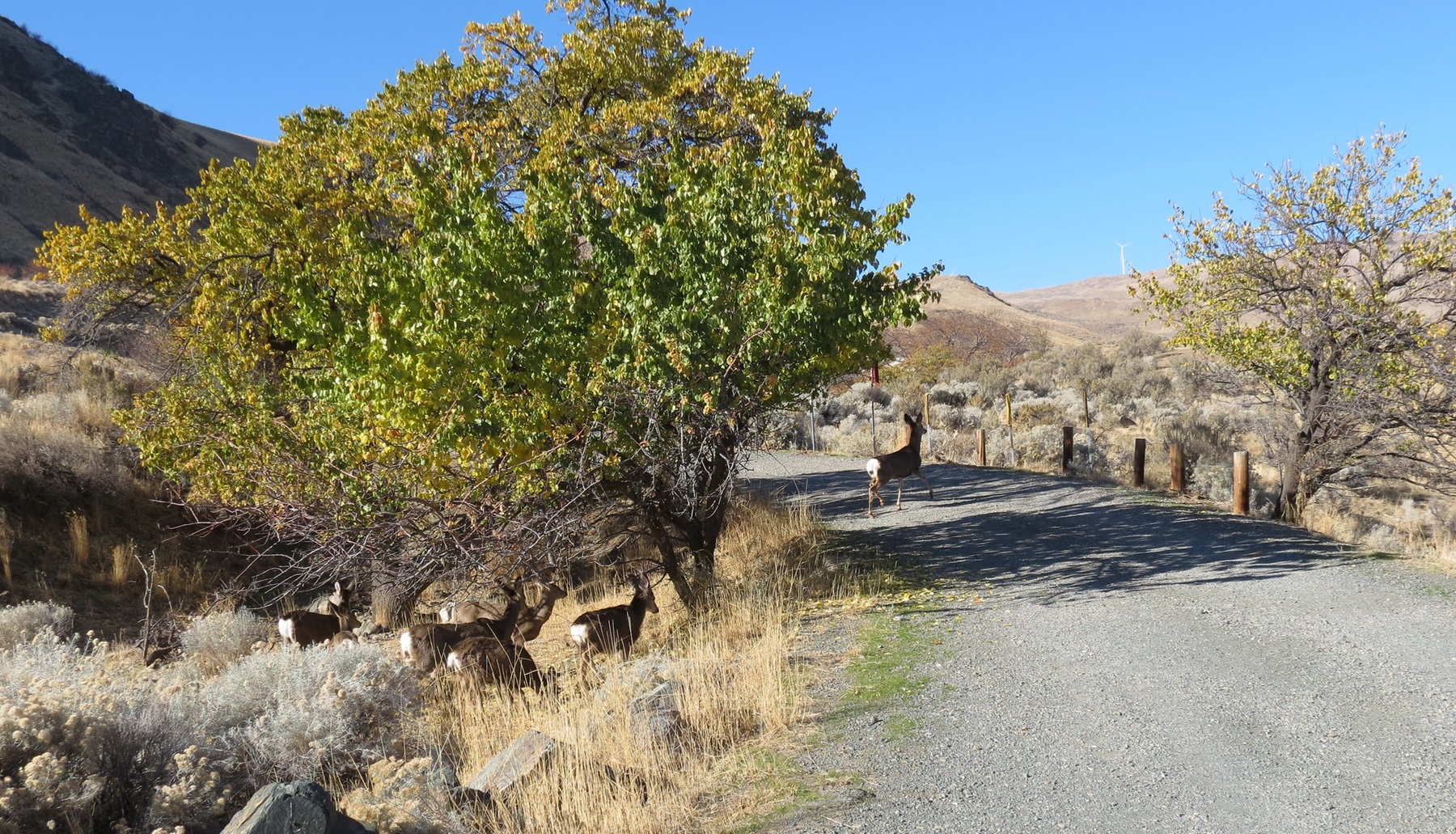
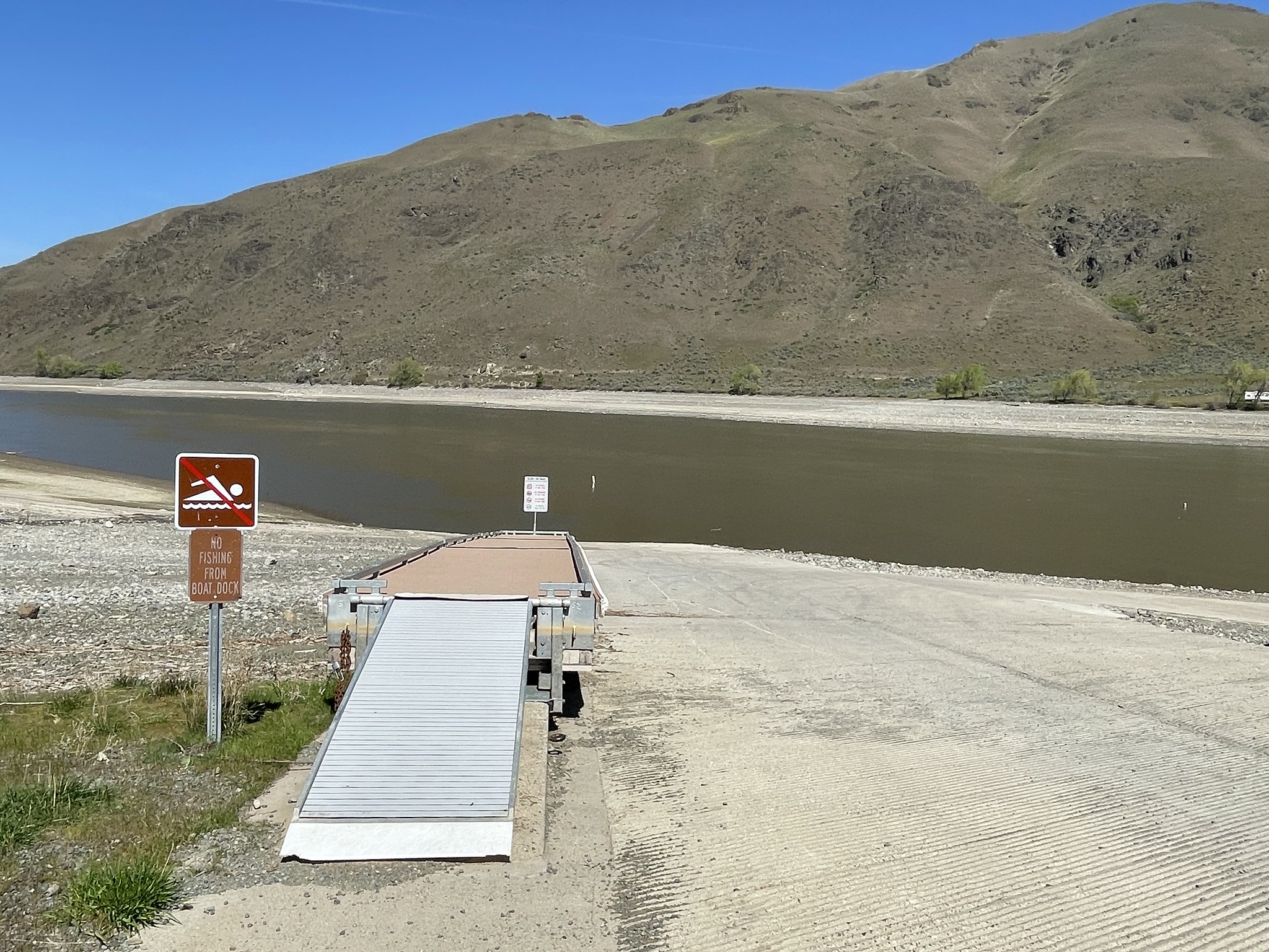
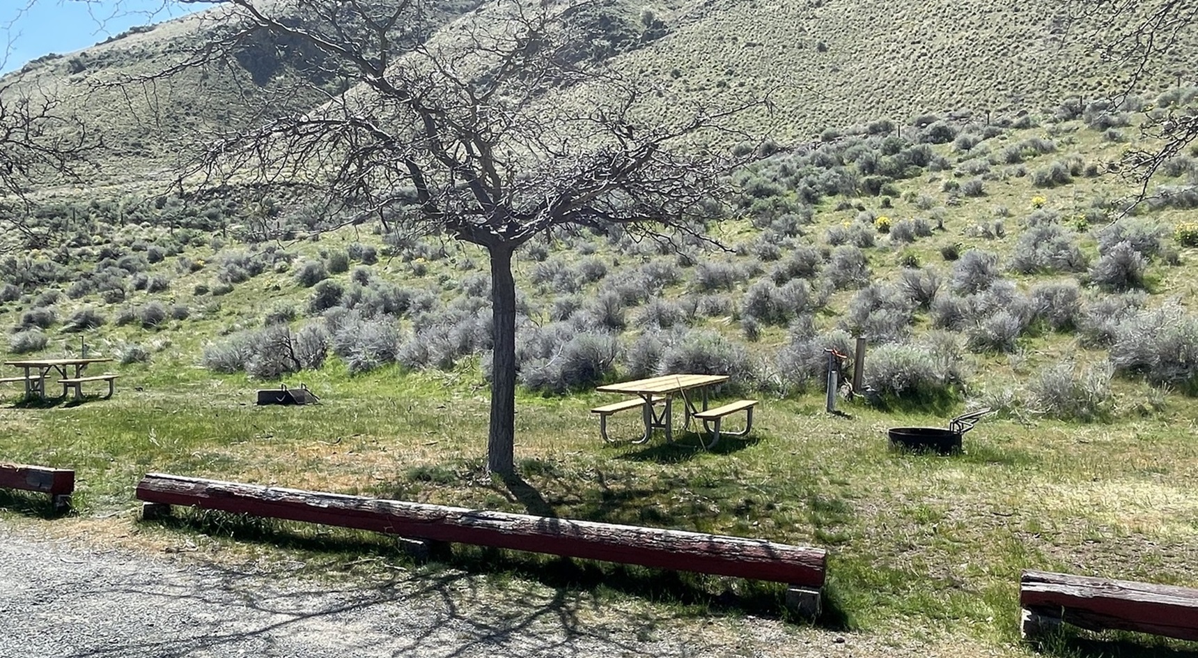
The Spring Recreation Site, or Spring Rec for short, is a camping and fishing location off the beaten path away from the crowds. Spring Rec sits on the banks of Brownlee Reservoir, a 52-mile long reservoir on the Snake River. The reservoir is known for its large channel catfish, abundant crappie, and good bass fishing. The RV and tent camping sites, boat launch, boarding dock, and fish cleaning station all create a comfortable camping and fishing experience. Spring Rec is ideal for the angler, those who love the outdoors, or for those just looking for a scenic getaway.
Know Before You Go
- All vehicles must display a stub from the fee envelope in their windshield.
- Drinking water is available.
- There are no RV hookups.
- Dumpsters are provided.
- Portable toilets are available throughout the site.
Point of Interest
Brownlee Reservoir is generally full in the spring, but a drawdown begins in summer and may result in closure of the boat ramp at lower levels. Call the Baker BLM office at 541-523-1256 for current ramp conditions.
The entire site overlooks the Reservoir, and there is a turnout off the gravel load leading up to the site that allows visitors to stop and look out over the campground and water.
The site has apricot trees and grapevines that were planted by homesteaders who arrived via the Historic Oregon Trail. A train crosses over a nearby bridge spanning the Snake River, and the Farewell Bend State Recreation Area is also close by.
Getting there
From Interstate 84 east or west, go to the small town of Huntington, Oregon. On the east end of town, there is a street sign directing you to the “Spring Rec Site.” Following this sign, after leaving town, you will be on the Snake River Road. Follow this narrow, paved road approximately three miles to the Spring Recreation Site.
44.37688, -117.23880 · 44°22'36.8"N 117°14'19.7"W
Typical weather
Typically 94°F in Jul, down to 37°F in Jan.
| Jan | Feb | Mar | Apr | May | Jun | Jul | Aug | Sep | Oct | Nov | Dec | |
|---|---|---|---|---|---|---|---|---|---|---|---|---|
| High °F | 37 | 44 | 55 | 63 | 74 | 82 | 94 | 93 | 82 | 66 | 48 | 37 |
| Low °F | 21 | 25 | 32 | 38 | 48 | 56 | 65 | 62 | 51 | 37 | 27 | 21 |
| Precip in | 1.6 | 1.3 | 1.1 | 0.9 | 1.4 | 1.0 | 0.4 | 0.3 | 0.3 | 0.8 | 1.4 | 2.6 |
1991–2020 averages from the nearest NOAA station, 1.6 mi away — not measured at the facility itself, and elevation can make a real difference over that distance.
Map
Fees and stay limits
$5.00 per vehicle per night, $2.00 day use fee
From Recreation.gov, which is not always current. The operator's own page is the authority on what you will be charged.
More photos
Member photos
Common questions about Spring Recreation Site
- Can you reserve a site at Spring Recreation Site?
- No. Spring Recreation Site is not reservable through Recreation.gov, so sites are first-come, first-served or booked elsewhere.
Camping near Spring Recreation Site
- Mann Creek Campground 16.4 mi · Campground · we watch it
- Spring Creek Campground 19.7 mi · Campground · we watch it
- Brownlee 32.4 mi · Campground · we watch it
- Buck Park Cabin 37.2 mi · Campground · we watch it
- Union Creek Campground 38.2 mi · Campground · we watch it
- Steck Park 1.3 mi · Facility
- Kiwanis Campground 16.9 mi · Facility
- Justrite Campground 18 mi · Campground
- Paradise Campground 18.2 mi · Campground
- Hitt Mountain Camping Area and Trailhead 23 mi · Campground
- Eagle Forks Campground 35.5 mi · Campground
- Virtue Flat Shooting Range 37.4 mi · Facility
Contact
- Phone 541-473-3144
- Email BLM_OR_BK_Mail@blm.gov
- Info Recreation.gov
Recreation.gov last updated this record on 2026-06-05.
Facility information and photographs from Recreation.gov (RIDB). SpotOpened is not affiliated with Recreation.gov or any federal agency.
Comments