Jack Creek Campground
Campground · Oregon · 19 bookable sites ·
Managed by the USDA Forest Service
Deschutes National Forest (NF) · Open Access
- 19
- Bookable sites
- 40 ft
- Max rig length
- up to 6
- People per site
- 3,057 ft
- Elevation
Overview
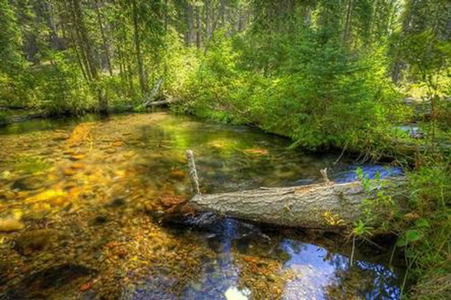
Jack Creek Campground sits on Jack Creek and is located near a chain of campgrounds one right after another that dot the nearby Metolius River.Recreation
Hiking and fishing top the list of recreational activities for visitors.For anglers, the spring-fed Metolius river offers a stunning setting for fly-fishing. The clear, cold water supports rainbow trout, whitefish, bull trout and kokanee salmon.
For day hikers and backpackers, the area offers a wide variety of scenic terrain, ranging from riverside trails to routes in subalpine forests.
Facilities
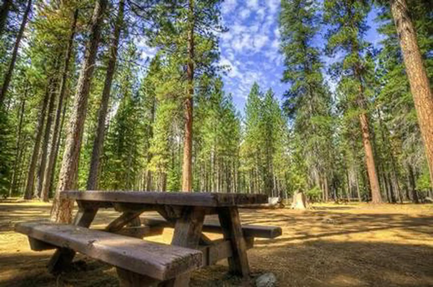
Jack Creek Campground can accommodate RV, trailer or tent-campers however water and electric hookups are not available. This is a no water facility so campers will need to bring their own supply. All sites are equipped with a picnic table and campfire ring with grill and the campground has vault toilets available.Natural Features
The headwaters of the adjacent Metolius River are at Metolius Springs at the base of Black Butte, a 3,076-foot cinder cone. The clear, cold river flows north from the springs through diverse coniferous forest and a landscape of volcanic activity. The area provides habitat for mammals such as mule deer, coyote and cougar. Migratory birds and native fish also call the area home.Nearby Attractions
The Camp Sherman Fish Viewing Platform allows visitors the chance to view a variety of types of fish while the Metolius Research Natural Area gives bird watchers ample opportunities. Visit the Metolius Fish Hatchery or Wizard Falls Fish Hatchery display ponds to observe and feed different types of salmon and other fish.The Metolius-Windigo Trail, open to hikers, bikers and horses, is more than 100 miles in length and begins near the Metolius River headwaters west of the town of Sisters, Oregon. The trail was created in the 1980s primarily to serve long-distance horse riders seeking an alternative to the Pacific Crest Trail.
Lava Lands Visitor Center in nearby Bend, Oregon, and the unique geological landscape of Newberry National Volcanic Monument draw visitors to the region as well. It is a great starting point for visitors to learn about the diverse landscape and history of the area through interpretive programs and exhibits. Visitors can also explore the Lava River Cave, located in the Newberry National Volcanic Monument. At 5,211 feet in length, the northwest section of the cave is the longest continuous lava tube in Oregon.
Charges & Cancellations
Once your reservation start date has begun, neither the Recreation.gov Contact Center nor the campground manager will be able to modify your reservation.
The facts
- 19 bookable sites
- Vehicles up to 40 ft
- Up to 6 people per site
- Loops: Loop 1
Site types
- 19 Standard Nonelectric
Amenities
- Campfires allowed
- Fire pits
- Picnic tables
- Shade
- Pets allowed
Not recorded upstream: electric hookups, water hookups, sewer hookups, grills.
19 campsites at Jack Creek Campground
Check-in 2:00 PM · Check-out 12:00 PM
| Site | Loop | Type | Entry | Surface | Grade | Max rig | People | |
|---|---|---|---|---|---|---|---|---|
| 001 | Loop 1 | Standard Nonelectric | Pull Through | Gravel | Slight | 40 ft | 6 | 🐾 |
| 002 | Loop 1 | Standard Nonelectric | — | Gravel | Slight | 40 ft | 6 | 🐾 |
| 003 | Loop 1 | Standard Nonelectric | — | Gravel | Slight | 40 ft | 6 | 🐾 |
| 004 | Loop 1 | Standard Nonelectric | — | Gravel | Slight | 40 ft | 6 | 🐾 |
| 005 | Loop 1 | Standard Nonelectric | — | Gravel | Slight | 40 ft | 6 | 🐾 |
| 006 | Loop 1 | Standard Nonelectric | — | Gravel | Slight | 40 ft | 6 | 🐾 |
| 007 | Loop 1 | Standard Nonelectric | — | Gravel | Slight | 40 ft | 6 | 🐾 |
| 008 | Loop 1 | Standard Nonelectric | — | Gravel | Slight | 40 ft | 6 | 🐾 |
| 009 | Loop 1 | Standard Nonelectric | — | Gravel | Slight | 40 ft | 6 | 🐾 |
| 010 | Loop 1 | Standard Nonelectric | — | Gravel | Slight | 40 ft | 6 | 🐾 |
| 011 | Loop 1 | Standard Nonelectric | — | Gravel | Slight | 40 ft | 6 | 🐾 |
| 012 | Loop 1 | Standard Nonelectric | — | Gravel | Slight | 40 ft | 6 | 🐾 |
| 013 | Loop 1 | Standard Nonelectric | — | Gravel | Slight | 40 ft | 6 | 🐾 |
| 014 | Loop 1 | Standard Nonelectric | Back In | Gravel | Slight | 40 ft | 6 | 🐾 |
| 015 | Loop 1 | Standard Nonelectric | Back In | Gravel | Slight | 40 ft | 6 | 🐾 |
| 016 | Loop 1 | Standard Nonelectric | Back In | Gravel | Slight | 40 ft | 6 | 🐾 |
| 017 | Loop 1 | Standard Nonelectric | Back In | Gravel | Slight | 40 ft | 6 | 🐾 |
| 018 | Loop 1 | Standard Nonelectric | Back In | Gravel | Slight | 40 ft | 6 | 🐾 |
| 019 | Loop 1 | Standard Nonelectric | Back In | Gravel | Slight | 40 ft | 6 | 🐾 |
Getting there
44.50782, -121.69386 · 44°30'28.2"N 121°41'37.9"W
Typical weather
| Jan | Feb | Mar | Apr | May | Jun | Jul | Aug | Sep | Oct | Nov | Dec | |
|---|---|---|---|---|---|---|---|---|---|---|---|---|
| High °F | — | — | — | — | — | — | — | — | — | — | — | — |
| Low °F | — | — | — | — | — | — | — | — | — | — | — | — |
| Precip in | 12.0 | 8.0 | 8.9 | 6.6 | 4.6 | 2.8 | 0.7 | 0.6 | 2.6 | 6.4 | 11.3 | 12.7 |
1991–2020 averages from the nearest NOAA station, 10.2 mi away — not measured at the facility itself, and elevation can make a real difference over that distance.
Map
More photos
Member photos
Common questions about Jack Creek Campground
- Can you reserve a site at Jack Creek Campground?
- Yes, Jack Creek Campground is reservable through Recreation.gov.
- How many campsites does Jack Creek Campground have?
- 19 sites.
- What is the maximum RV length at Jack Creek Campground?
- 40 ft. That is the longest vehicle the sites here are recorded as taking; individual sites may be shorter.
- Are pets allowed at Jack Creek Campground?
- Yes, pets are allowed at Jack Creek Campground.
- Are campfires allowed at Jack Creek Campground?
- Campfires are allowed at Jack Creek Campground. Check for a current fire restriction before you go.
Camping near Jack Creek Campground
- Lower Canyon Creek Campground 2.6 mi · Campground · we watch it
- Smiling River Campground 2.8 mi · Campground · we watch it
- Allingham Campground 2.9 mi · Campground · we watch it
- Gorge Campground 3.1 mi · Campground · we watch it
- Camp Sherman Campground 3.2 mi · Campground · we watch it
- Pine Rest Campground 3.3 mi · Campground · we watch it
- Allen Springs Campground 3.6 mi · Campground · we watch it
- Riverside Campground (Deschutes National Forest, OR) 4.6 mi · Campground · we watch it
- Green Ridge Lookout 4.6 mi · Campground · we watch it
- Smiling River Campground 3.6 mi · Campground
- Allingham Campground 3.7 mi · Campground
- Camp Sherman Campground 4.1 mi · Campground
Contact
- Phone 541-323-1746
- Email Jen@Hoodoo.com
- Book Recreation.gov
Recreation.gov last updated this record on 2026-06-12.
Facility information and photographs from Recreation.gov (RIDB). SpotOpened is not affiliated with Recreation.gov or any federal agency.
Comments