Gerber Recreation Area
Facility · Oregon ·
Managed by the Bureau of Land Management
Lakeview Klamath Falls Field Office (Bureau of Land Management OR) · Open Access
- 4,932 ft
- Elevation
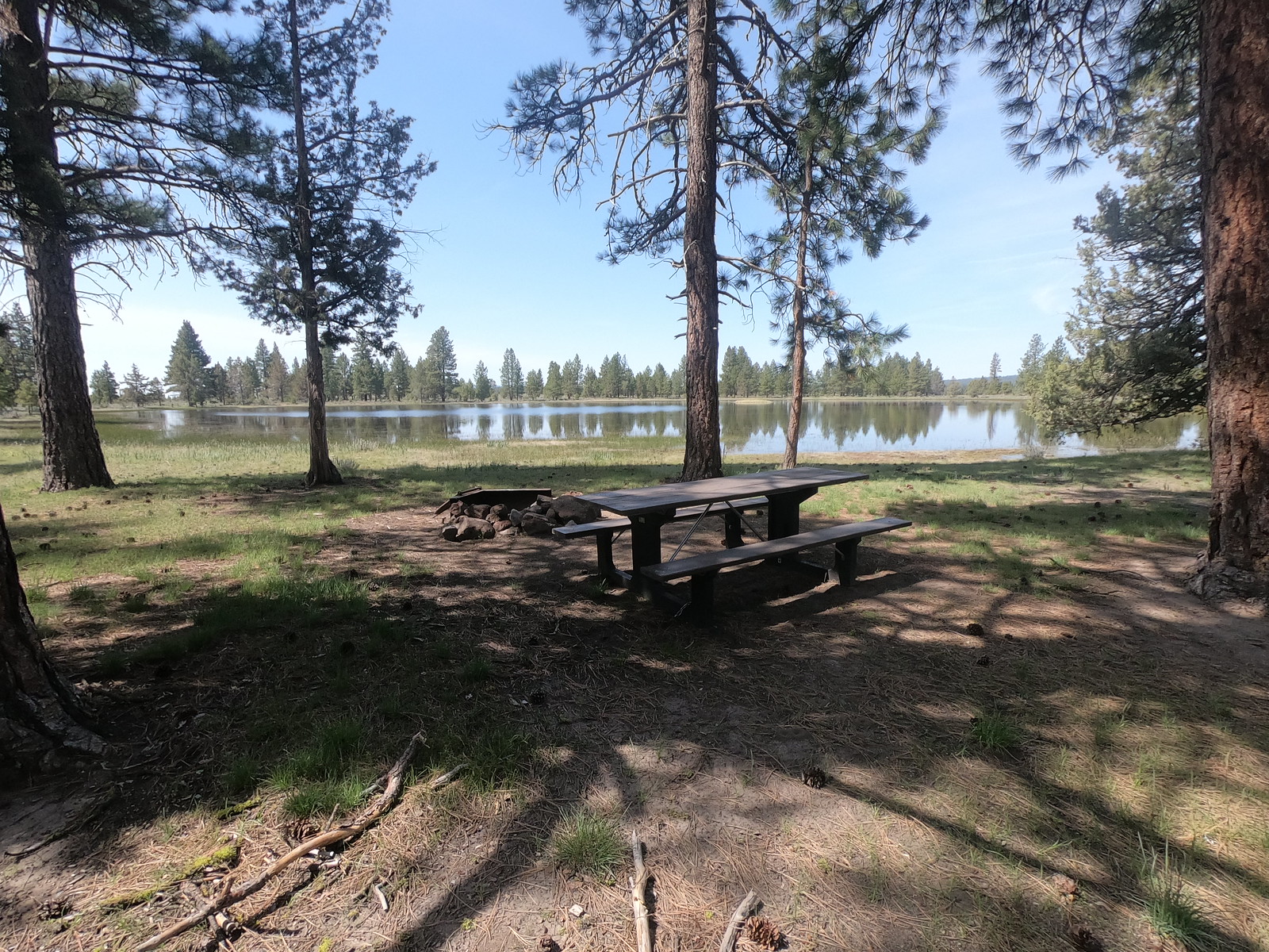
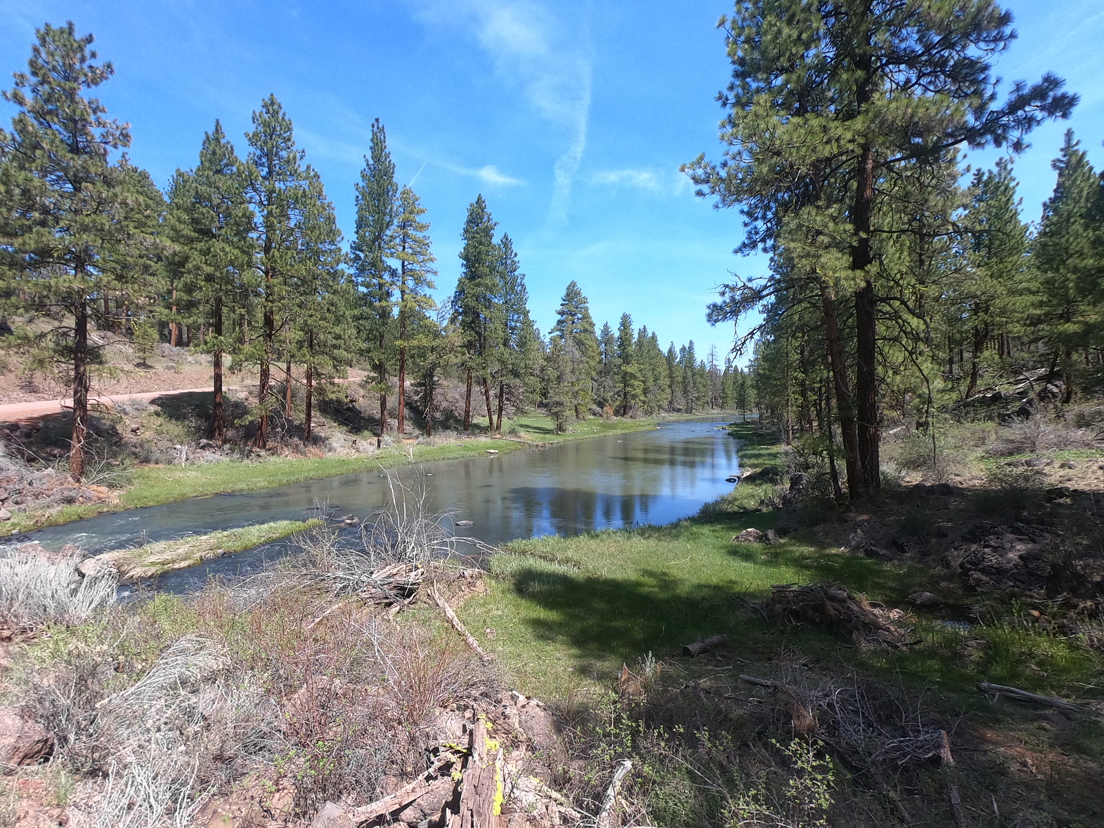
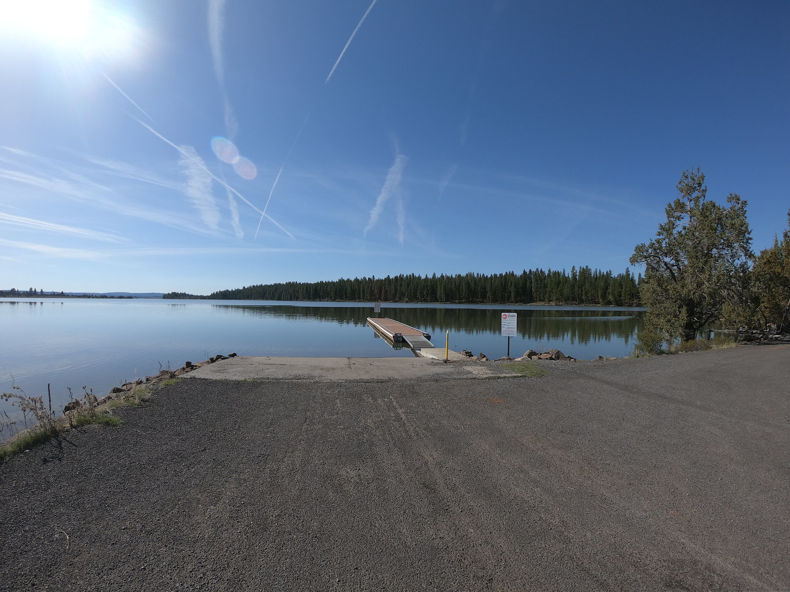
Gerber is set on a vast plateau in the high desert about one hour’s drive east of Klamath Falls, Oregon. Mountain ridges and scattered Ponderosa Pine forests add variety and texture to the area. Gerber offers opportunities for camping, fishing, hiking, horseback riding, and mountain biking, along with access to 100,000 acres of backcountry suitable for exploring, hunting, wildlife viewing, and scenic OHV driving. Developed campsites are available at Gerber North and South Campgrounds. The area also offers primitive campsites, a horse camp, and a day-use area as well as two boat ramps.
Know Before You Go
- Open season: Gerber Recreation Area is open YEAR ROUND.
- The North and South Campgrounds have 50 sites with picnic tables, fire rings, and tent pads.
- Peak season generally extends from May through September. Camping and day-use fees ARE collected and amenities such as drinking water, trash collection, and campground hosts ARE provided.
- Off season generally extends from October through April. Campground and day-use fees are NOT collected and amenities ARE NOT provided.
- The Horse Camp is generally open from May through October. It has 7 camp sites with picnic tables, fire rings, tent pads, and double corral/horse stalls.
- America the Beautiful Pass accepted.
- Universal Access Restrooms available.
- Pets must be kept on a leash.
Point of Interest
There are numerous small reservoirs scattered through the greater Gerber area and nearby Fremont-Winema National Forest that provide fishing and wildlife viewing opportunities.
Getting there
From Klamath Falls, Oregon: Head east for 15 miles east on State Highway 140 to Dairy, Oregon. Turn right onto State Highway 70 and drive 5 miles to Bonanza, Oregon. Travel through downtown and merge onto East Langell Valley Road. Drive 11 miles and turn left onto Gerber Road. Follow Gerber Road for 8.5 miles to the signed entrance to the Gerber Recreation Area.
42.20982, -121.13871 · 42°12'35.4"N 121°8'19.4"W
Typical weather
| Jan | Feb | Mar | Apr | May | Jun | Jul | Aug | Sep | Oct | Nov | Dec | |
|---|---|---|---|---|---|---|---|---|---|---|---|---|
| High °F | — | — | — | — | — | — | — | — | — | — | — | — |
| Low °F | — | — | — | — | — | — | — | — | — | — | — | — |
| Precip in | 2.4 | 1.6 | 1.8 | 1.7 | 1.4 | 0.8 | 0.2 | 0.2 | 0.5 | 1.0 | 1.9 | 2.6 |
1991–2020 averages from the nearest NOAA station, 0.4 mi away — not measured at the facility itself, and elevation can make a real difference over that distance.
Map
Fees and stay limits
Fees - $7 per night, $4 per extra vehicle, $2 day use area.
Stay limit: 14 Days.
From Recreation.gov, which is not always current. The operator's own page is the authority on what you will be charged.
More photos
Member photos
Common questions about Gerber Recreation Area
- Can you reserve a site at Gerber Recreation Area?
- No. Gerber Recreation Area is not reservable through Recreation.gov, so sites are first-come, first-served or booked elsewhere.
- How long can you stay at Gerber Recreation Area?
- 14 Days.
Camping near Gerber Recreation Area
- Bly Ranger District 14 mi · Facility
- Holbrook Reservoir Campground 15.1 mi · Campground
- Lofton Reservoir Campground 16.8 mi · Campground
- Dog Lake Campground/Boating Site/Picnic Site 23.7 mi · Campground
- Corral Creek Campground 24.9 mi · Campground
- Tule Lake Visitor Center 25.4 mi · Facility
- Cottonwood Recreation Area Campground 26.1 mi · Campground
- Clear Spring Campground 28.3 mi · Campground
- Drews Creek Campground 29.3 mi · Campground
- Sandhill Crossing Campground 29.6 mi · Campground
- Happy Camp Campground 29.7 mi · Campground
- Jane's Reservoir Campground 29.8 mi · Campground
Contact
- Phone 541-883-6916
- Email BLM_OR_KF_MAIL@blm.gov
- Info Recreation.gov
Recreation.gov last updated this record on 2026-07-30.
Facility information and photographs from Recreation.gov (RIDB). SpotOpened is not affiliated with Recreation.gov or any federal agency.
Comments