Dry River Canyon Trail
Facility · Oregon ·
Managed by the Bureau of Land Management
Prineville Deschutes Field Office (Bureau of Land Management OR) · Open Access
- 3,687 ft
- Elevation
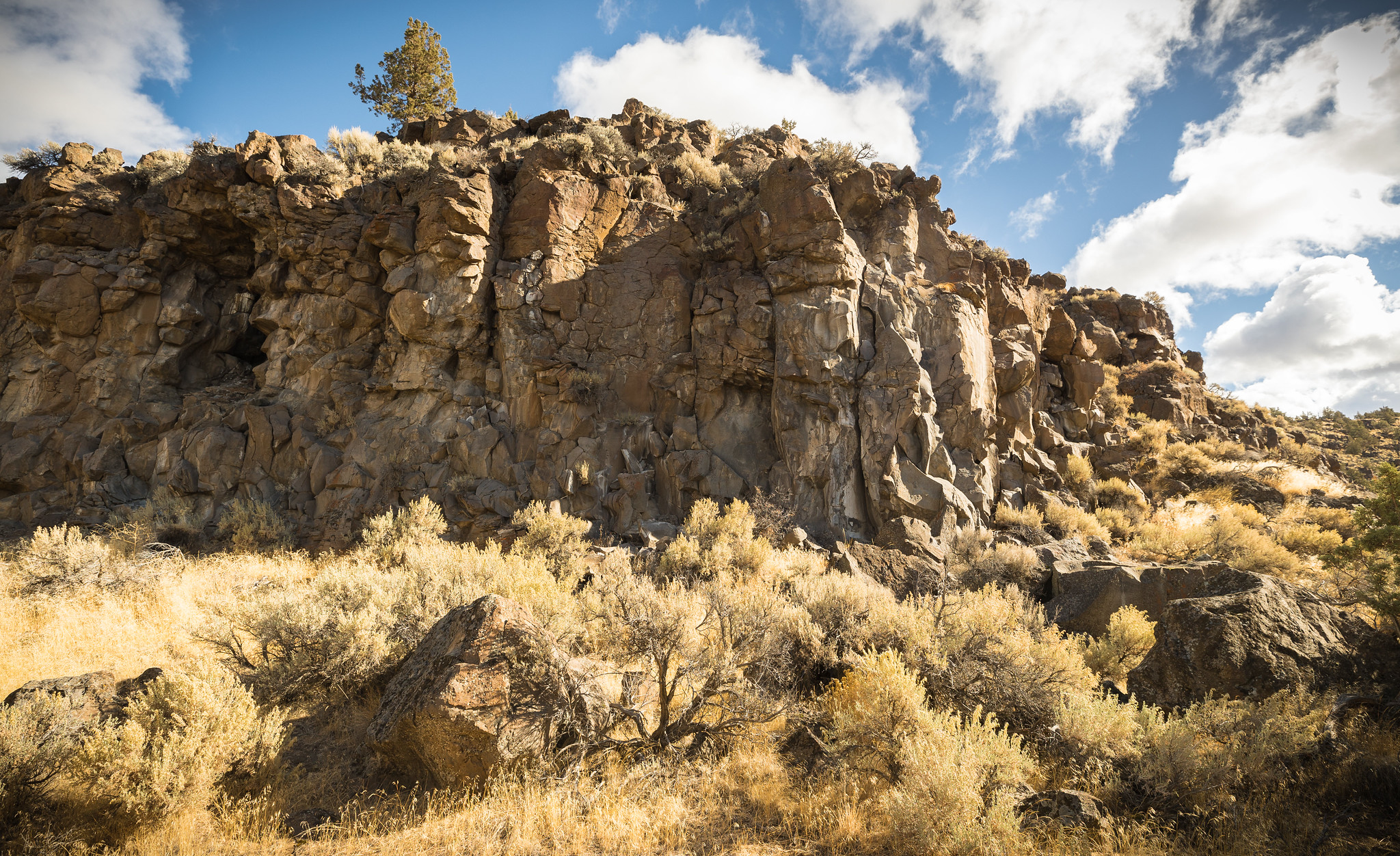
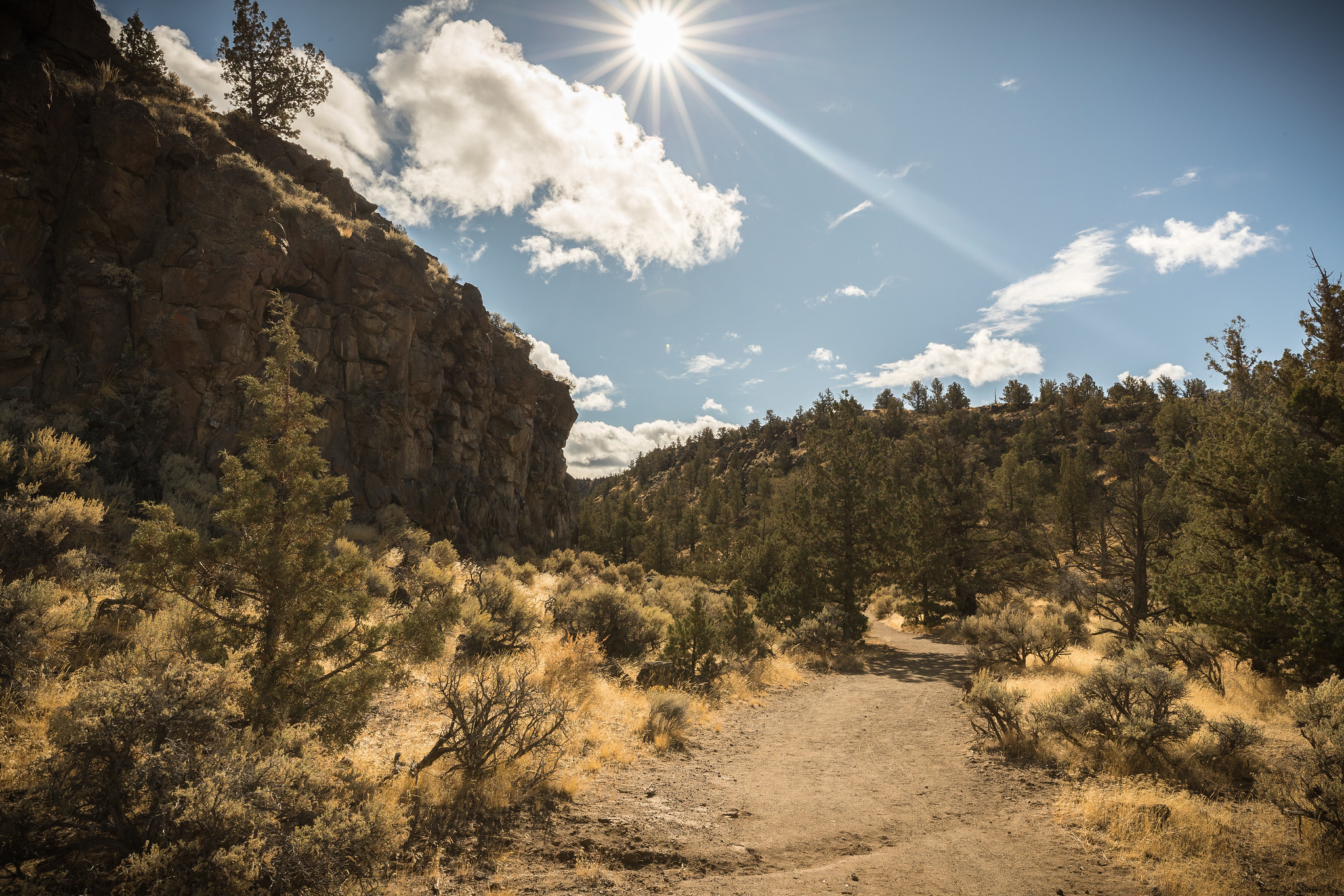
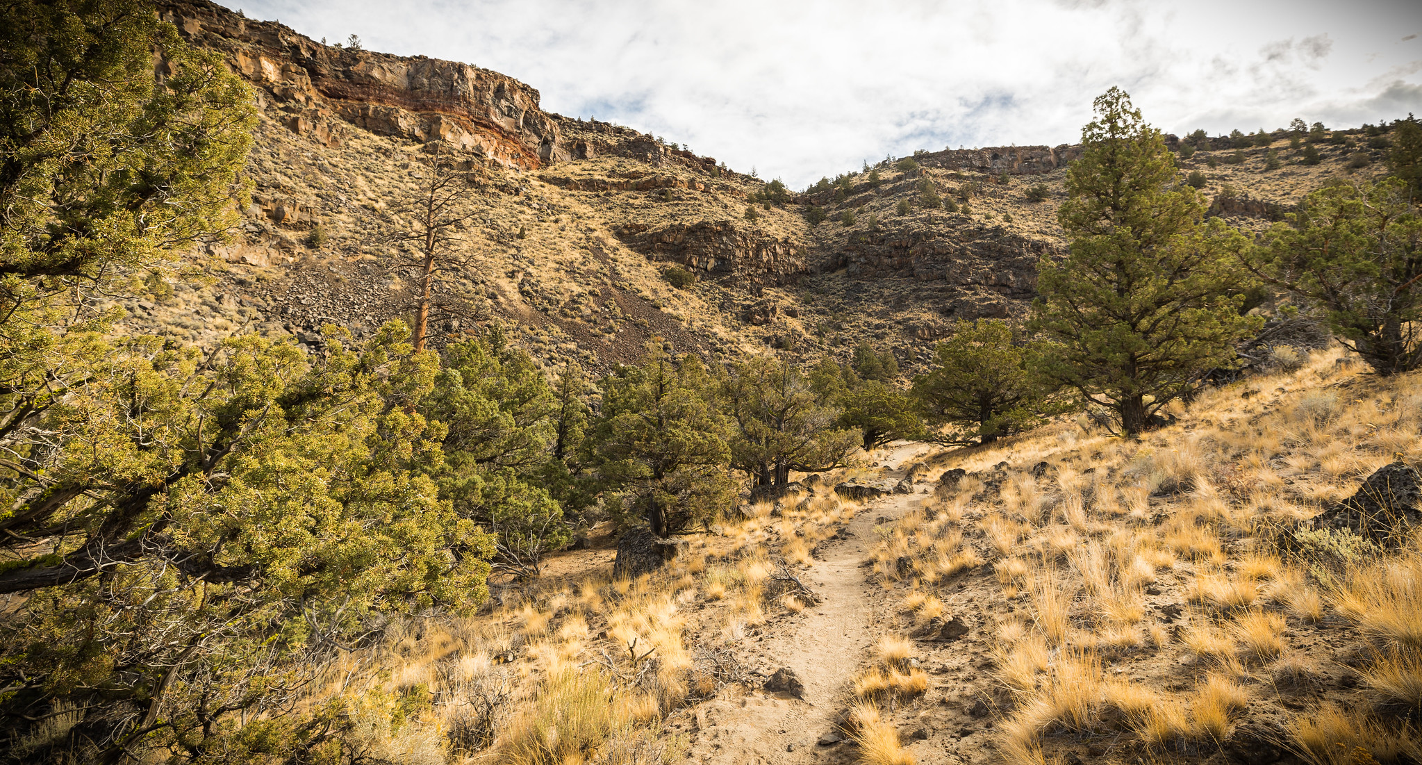
It's a small finger off the east side of the Oregon Badlands Wilderness, a nook that holds a trail that winds in and out of old, twisty juniper, bordered by steep basalt cliffs. A stretch where an ancient river cut into the canyon, once draining the ancient Lake Millican. Rounded boulders, worked by the old river, appear out of place along the now dry trail. Head out for a moderate hike for about 2.3 miles one-way, or add in an additional mile by rock-hopping an unmarked area for about 50 yards, then picking up the trail again for the last 1/2 mile.
Know Before You Go
- Open seasonally with a wildlife closure to all uses from February 1 through August 31st, unless lifted by BLM staff earlier.
- This is a primitive, rocky trail and trailhead with no water or restrooms; Practice Leave No Trace and pack out what you pack in.
- No motorized vehicles are allowed.
- Dogs are allowed.
- Horses are allowed, but are not advised; the trail is rocky with low-hanging branches
Point of Interest
Look up from the path of the old river and enjoy the views of exposed layers of lava and cinders from early volcanoes in this 300-foot deep canyon.
Getting there
From Bend, Oregon: Drive 17 miles east along State Highway 20. Turn left a few hundred yards east of Milepost 17, crossing a cattle guard. Immediately bear right into the ODOT gravel area. Low clearance vehicles should park here at the information kiosk or proceed slowly as the next mile is rocky and unmaintained. From the kiosk, walk or drive 0.9 miles southeast to the end of the rough road to the trailhead kiosk.
43.93744, -121.01726 · 43°56'14.8"N 121°1'2.2"W
Typical weather
Typically 84°F in Jul, down to 41°F in Dec.
| Jan | Feb | Mar | Apr | May | Jun | Jul | Aug | Sep | Oct | Nov | Dec | |
|---|---|---|---|---|---|---|---|---|---|---|---|---|
| High °F | 43 | 46 | 52 | 58 | 66 | 74 | 84 | 83 | 76 | 63 | 49 | 41 |
| Low °F | 25 | 24 | 28 | 31 | 37 | 42 | 49 | 48 | 41 | 34 | 28 | 23 |
| Precip in | 1.4 | 1.0 | 0.7 | 0.8 | 1.0 | 0.7 | 0.4 | 0.3 | 0.3 | 0.7 | 1.3 | 2.1 |
1991–2020 averages from the nearest NOAA station, 15.7 mi away — not measured at the facility itself, and elevation can make a real difference over that distance.
Map
Fees and stay limits
No Fees.
Stay limit: Day use only.
From Recreation.gov, which is not always current. The operator's own page is the authority on what you will be charged.
More photos
Member photos
Common questions about Dry River Canyon Trail
- Can you reserve a site at Dry River Canyon Trail?
- No. Dry River Canyon Trail is not reservable through Recreation.gov, so sites are first-come, first-served or booked elsewhere.
- How long can you stay at Dry River Canyon Trail?
- Day use only.
Camping near Dry River Canyon Trail
- Central Cascades Wilderness Permit - Day Use 16.2 mi · Tickets · we watch it
- Reynolds Pond Recreation Site 8.4 mi · Facility
- Alfalfa Curves Off Highway Vehicle Staging Area 9.6 mi · Facility
- Pine Mountain Campground 10.8 mi · Campground
- Road 25 OHV Staging Area 10.9 mi · Facility
- Corral Off Highway Vehicle Staging Area 12.2 mi · Facility
- Reservoir Road Off Highway Vehicle Play Area 14 mi · Facility
- Lava Cast Forest Day Use Interpretive Site 15.9 mi · Facility
- Upper Lone Pine Day-Use Area 16 mi · Facility
- Greenwood Day-Use Area 16.3 mi · Facility
- Big Bend Campground (Crooked River) 16.5 mi · Facility
- Palisades Campground 16.5 mi · Facility
Contact
- Phone 541-416-6700
- Email BLM_OR_PR_Mail@blm.gov
- Info Recreation.gov
Recreation.gov last updated this record on 2026-06-22.
Facility information and photographs from Recreation.gov (RIDB). SpotOpened is not affiliated with Recreation.gov or any federal agency.
Comments