Devil's Flat Campground
Campground · Oregon · 3 bookable sites ·
Managed by the USDA Forest Service
- 3
- Bookable sites
- 22 ft
- Max rig length
- up to 8
- People per site
Overview
Enjoy a beautiful drive through the picturesque Cow Creek drainage on your way to one of the most interesting campgrounds in the Umpqua.
Located under a bluff and surrounded by a forest of cedar, pine, and madrone, Devil’s Flat is a small campground with three campsites, a bevy of hiking opportunities, and a handful of historic landmarks.
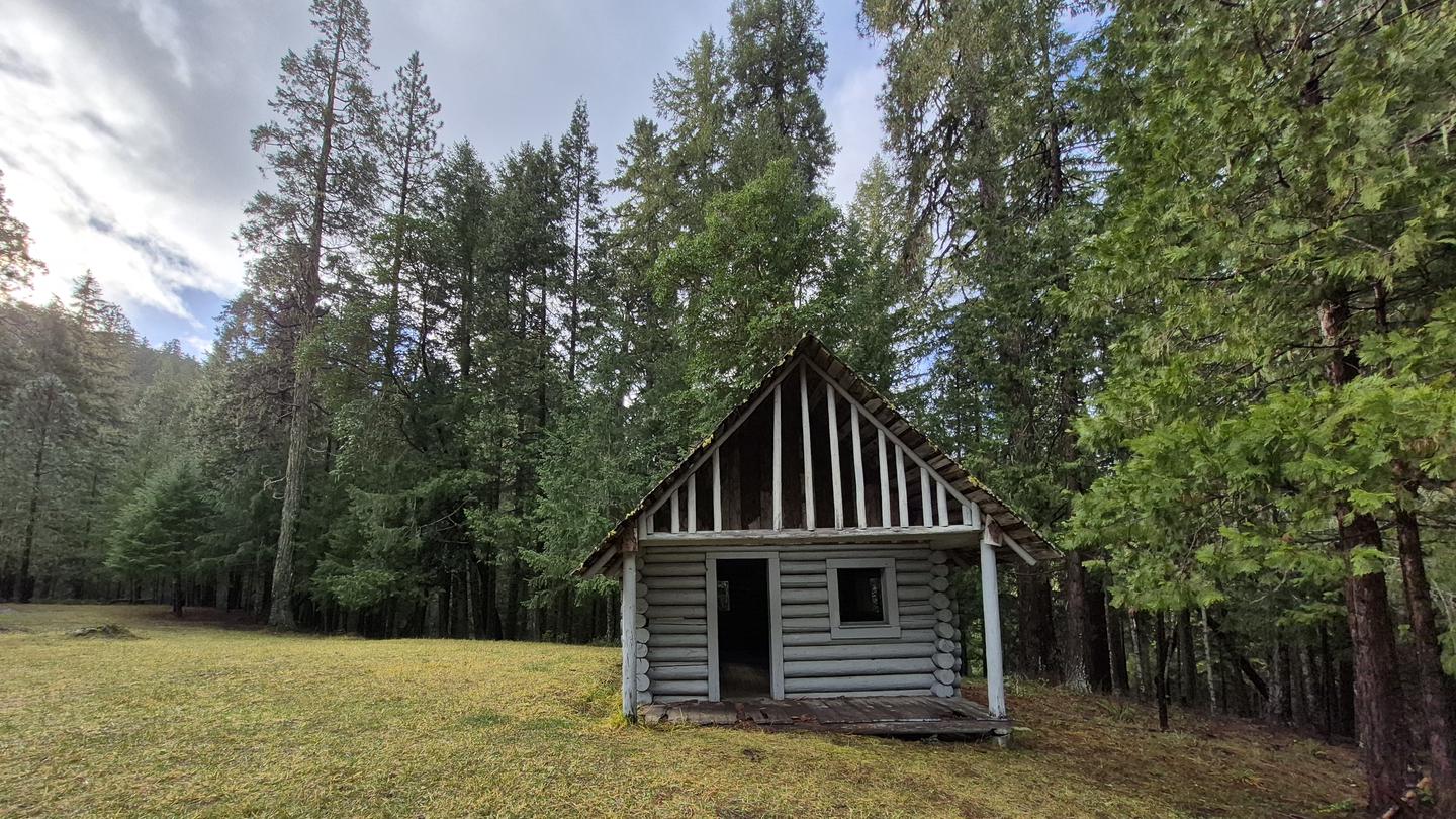
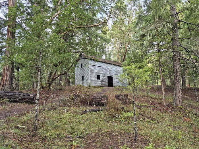
On the north side of the campground, you can see the stone ruins of an old water fixture built by the Civilian Conservation Corps “Fire-Eaters” in the 1930s. On the south side is the old Devil's Flat Guard Station, where you’ll find a Ranger Cabin built in 1915 and a 1920s-era horse barn. Near the ranger cabin, in a fir tree, you can also see the tiki carving that gave Devil’s Flat its name.
Recreation
Devil’s Flat offers easy access to beautiful hikes of varying length and difficulty:
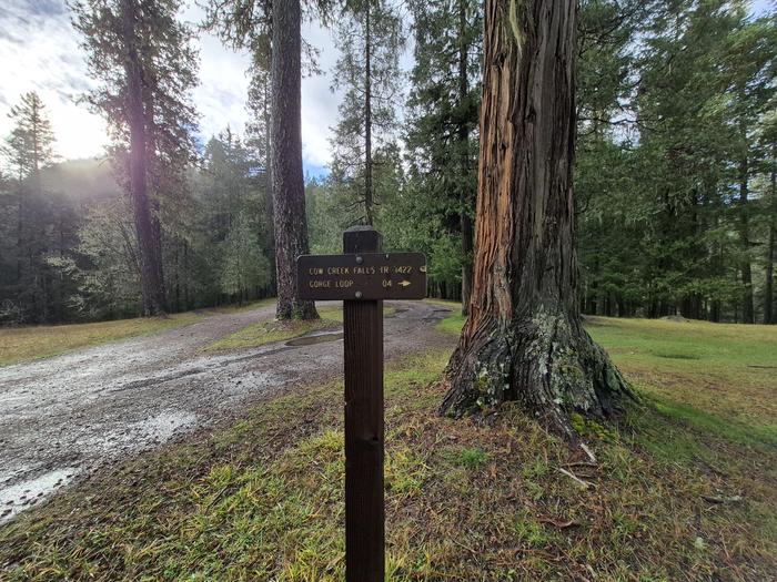
Cow Creek Falls Trail #1422 makes a 0.3-mile loop along cascading Cow Creek Gorge.
Elk’s Skull Bluff Trail #1428A makes a 0.5-mile loop from the campground to a vantage point of the Upper Cow Creek drainage.
Maranatha Trail #1422A travels 1.5 miles to a viewpoint over the Cow Creek drainage.
Devil’s Flat Trail #1428 leads five miles to the top of Red Mountain.
Facilities
Three tent/trailer sites
Vault Toilet
Each site has a picnic table and fire ring
Open year-round; first come, first serve
Gravel Road, Spurs, and Parking
Maximum Vehicle Length: 22 feet
Natural Features
Visitors to the Umpqua National Forest are often taken aback by the unique landscapes of southwestern Oregon. High Cascades glaciation, whitewater rapids, and explosive geologic events have shaped the distinctive landscape on the 983,239 acres of forest that provides spectacular scenery as well as an abundance of natural and cultural resources.
Verdant stands of hemlock, fir and cedar transition to forests of mixed conifers and hardwoods at lower elevations, while alpine ecosystems dominate high peaks.
The translation of the word "Umpqua," meaning "thundering waters," defines the area. The Forest's waterways and diversity create desirable habitat for many species of fish and wildlife, in addition to providing outstanding recreational opportunities to our local communities and visitors.
Nearby Attractions
Galesville Reservoir
Contact Info
For facility specific information, please call (541) 440-4930.Charges & Cancellations
This is a Scan and Pay campground. There are no refunds, modifications, cancellations, or other fee changes allowed with Scan and Pay payments. This system is the same as putting cash into a fee tube and cannot be refunded.
The facts
- 3 bookable sites
- 4 sites in total, including non-bookable
- Vehicles up to 22 ft
- Up to 8 people per site
- Loops: Devil's Flat, Extra Vehicle Fee
Site types
- 3 Standard Nonelectric
- 1 Management
Amenities
- Campfires allowed
- Fire pits
- Picnic tables
- Shade
- Pets allowed
- Water hookups — not available
- Sewer hookups — not available
Not recorded upstream: electric hookups, grills.
4 campsites at Devil's Flat Campground
Check-in 1:00 PM · Check-out 11:00 AM
| Site | Loop | Type | Entry | Surface | Max rig | People | |
|---|---|---|---|---|---|---|---|
| 1 | Devil's Flat | Standard Nonelectric | — | — | 22 ft | 8 | 🐾 |
| 2 | Devil's Flat | Standard Nonelectric | — | — | 22 ft | 8 | 🐾 |
| 3 | Devil's Flat | Standard Nonelectric | — | — | 22 ft | 8 | 🐾 |
| Extra Vehicle Fee | Extra Vehicle Fee | Management | — | — | 22 ft | 8 | 🐾 |
Getting there
From Azalea, OR, travel east on County Road 36 for about 17 miles to Devil’s Flat Campground, located on the left side of the road.
Fees and stay limits
Extra vehicle fee $5 per vehicle per night. NOTE: 50% discount for Interagency Senior and Access Pass holders on a single campsite. This discount does not apply to use of a cabin, lookout, double camping unit, triple camping unit, group camping unit, extra vehicle fees, or any additional camping units and separately charged utility, water, hook-up or day use fees.
From Recreation.gov, which is not always current. The operator's own page is the authority on what you will be charged.
More photos
Member photos
Common questions about Devil's Flat Campground
- Can you reserve a site at Devil's Flat Campground?
- Yes, Devil's Flat Campground is reservable through Recreation.gov.
- How many campsites does Devil's Flat Campground have?
- 4 sites in total, of which 3 can be booked.
- What is the maximum RV length at Devil's Flat Campground?
- 22 ft. That is the longest vehicle the sites here are recorded as taking; individual sites may be shorter.
- Are pets allowed at Devil's Flat Campground?
- Yes, pets are allowed at Devil's Flat Campground.
- Does Devil's Flat Campground have hookups?
- No hookups are recorded here.
- Are campfires allowed at Devil's Flat Campground?
- Campfires are allowed at Devil's Flat Campground. Check for a current fire restriction before you go.
Contact
- Book Recreation.gov
Recreation.gov last updated this record on 2026-03-11.
Facility information and photographs from Recreation.gov (RIDB). SpotOpened is not affiliated with Recreation.gov or any federal agency.
Comments