Wichita Mountains Wilderness
Facility · Oklahoma ·
Managed by the Fish and Wildlife Service
Kiowa-Comanche-Apache-Fort Sill Apache Oklahoma Tribal Statistical Area (D6)
- 1,484 ft
- Elevation
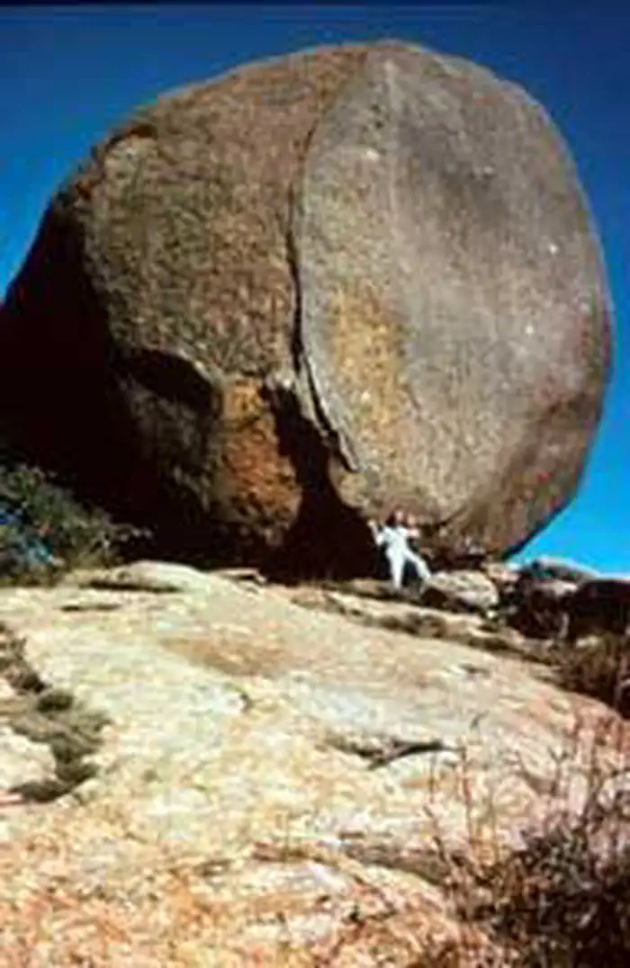
The Wichita Mountains Wilderness now contains a total of 8,570 acres and is managed by the Fish & Wildlife Service's Wichita Mountains National Wildlife Refuge. All of the Wilderness is in the state of Oklahoma. In 1970 the Wichita Mountains Wilderness became part of the now over 110 million acre National Wilderness Preservation System. Of the refuge's 59,020 acres, 22,400 acres are open to public use. The rest of the refuge is a special-use area reserved for the wild animals.
In 1901 this area was proclaimed a "Forest Preserve," and in 1905 President Theodore Roosevelt signed a law creating the first "Game Sanctuary" here for the almost-extinct Bison bison. Thanks to careful management, a remnant bunch of 15 buffalo has grown to a maintained herd of about 650, which live among the rugged rocky outcroppings, oak forests, and the mixed-grass prairie of the refuge.
Within the northern portion of the special-use area lies North Mountain Wilderness Unit. The rugged southwestern corner of the refuge is protected as Charons Garden Wilderness Unit and is open to the public. The outstanding and unique scenic qualities of this wilderness unit attract many visitors.
Getting there
How to Get There From I-44 take Highway 49 (exit 45). Go west 10 miles to the Refuge gate. If coming from Highway 62, take Highway 115 (Cache exit) north to the Refuge Gate. A map is available. You will find leaflet dispensers inside each of the Refuge gates that have maps and information. The Wichita Mountains Wilderness Area is located in the Southwest portion of the Refuge. Contact the Refuge Visitor Center for more information.
34.71064, -98.62343 · 34°42'38.3"N 98°37'24.3"W
Typical weather
Typically 94°F in Jul, down to 50°F in Jan.
| Jan | Feb | Mar | Apr | May | Jun | Jul | Aug | Sep | Oct | Nov | Dec | |
|---|---|---|---|---|---|---|---|---|---|---|---|---|
| High °F | 50 | 55 | 64 | 72 | 80 | 89 | 94 | 94 | 85 | 74 | 61 | 51 |
| Low °F | 31 | 34 | 43 | 50 | 59 | 67 | 72 | 72 | 64 | 53 | 41 | 32 |
| Precip in | 1.3 | 1.4 | 2.2 | 3.0 | 4.8 | 4.2 | 2.4 | 2.9 | 3.2 | 3.2 | 1.9 | 1.7 |
1991–2020 averages from the nearest NOAA station, 3.3 mi away — not measured at the facility itself, and elevation can make a real difference over that distance.
Map
Member photos
Common questions about Wichita Mountains Wilderness
- Can you reserve a site at Wichita Mountains Wilderness?
- No. Wichita Mountains Wilderness is not reservable through Recreation.gov, so sites are first-come, first-served or booked elsewhere.
Camping near Wichita Mountains Wilderness
- Doris Campground 1.6 mi · Campground · we watch it
- Charon's Garden Wilderness Permits 6.3 mi · Permit · we watch it
- Kiowa Park I 43.8 mi · Campground · we watch it
- Chisholm Trail Ridge 45.8 mi · Campground · we watch it
Contact
- Phone (580) 429-3222
- Info Recreation.gov
Recreation.gov last updated this record on 2026-02-25.
Facility information and photographs from Recreation.gov (RIDB). SpotOpened is not affiliated with Recreation.gov or any federal agency.
Comments