Sagamore Hill National Historic Site Tours
Tickets · New York ·
Managed by the National Park Service
Sagamore Hill National Historic Site (National Historic Site) · Restricted Access
- 145 ft
- Elevation
Overview:
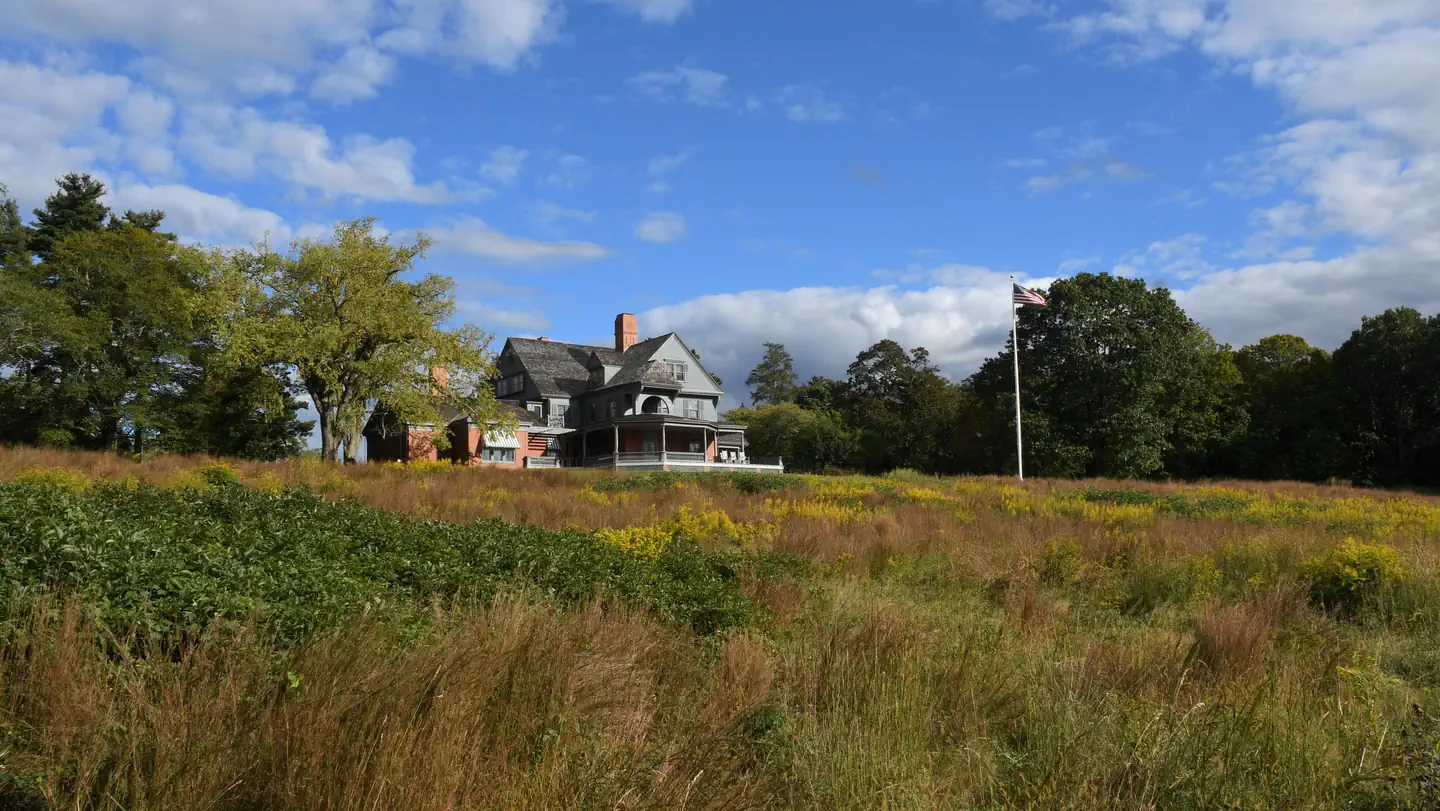
Sagamore Hill was the home of Theodore Roosevelt, 26th President of the United States, from 1885 until his death in 1919. During Roosevelt's time in office, his "Summer White House" was the focus of international attention. Explore the natural surroundings and become inspired by the legacy of one of America's most popular presidents.Summary of Fees - Sagamore Hill National Historic Site Tours
Getting there
The Southern State Parkway connects to NSP/LIE via the Wantagh/Meadowbrook Parkways, or the Seaford/Oyster Bay Expressway. Take Southern State Exit 28AN to Route 135 North (Seaford/Oyster Bay Expressway) for 10 miles to Exit 14E (Woodbury) and Route 25 (Jericho Turnpike). Turn right/east, travel to the third traffic light. Turn left on South Woods Road, traveling 1.6 miles to its end and turn right on to Cold Spring Road. Travel 1 mile to Route 25A intersection. Turn left on Route 25A and travel 0.7 miles downhill to the Cove Road stoplight. Turn right on Cove Road for 1.7 miles to Cove Neck Road. Turn right on Cove Neck Road and follow the signs for 1.5 miles to Sagamore Hill.
40.88639, -73.49861 · 40°53'11.0"N 73°29'55.0"W
Typical weather
| Jan | Feb | Mar | Apr | May | Jun | Jul | Aug | Sep | Oct | Nov | Dec | |
|---|---|---|---|---|---|---|---|---|---|---|---|---|
| High °F | — | — | — | — | — | — | — | — | — | — | — | — |
| Low °F | — | — | — | — | — | — | — | — | — | — | — | — |
| Precip in | 3.8 | 3.2 | 4.4 | 4.4 | 3.9 | 3.7 | 3.9 | 4.1 | 4.1 | 4.2 | 3.7 | 4.3 |
1991–2020 averages from the nearest NOAA station, 4.5 mi away — not measured at the facility itself, and elevation can make a real difference over that distance.
Map
More photos

Member photos
Common questions about Sagamore Hill National Historic Site Tours
- Can you reserve a site at Sagamore Hill National Historic Site Tours?
- Yes, Sagamore Hill National Historic Site Tours is reservable through Recreation.gov.
Camping near Sagamore Hill National Historic Site Tours
- The Cottage at Sailors Haven 26.2 mi · Campground · we watch it
- Oheka Castle 4.9 mi · Facility
- Fire Island Lighthouse 22.9 mi · Facility
- The Jazz Museum in Harlem 23.6 mi · Facility
- General Grant National Memorial Visitor Center and Overlook Pavilion 24.8 mi · Visitor Center
- Cooper-Hewitt, Smithsonian Design Museum 25.1 mi · Facility
- Jamaica Bay Wildlife Refuge Visitor Center 25.3 mi · Facility
- Temporary Outdoor Visitor Center 25.6 mi · Visitor Center
- Burlingham House Visitor Center 25.7 mi · Facility
- Sailors Haven Visitor Center 26 mi · Facility
- The Plaza 26.3 mi · Facility
- Visitor Center 28.2 mi · Visitor Center
Contact
- Book Recreation.gov
Recreation.gov last updated this record on 2026-02-25.
Facility information and photographs from Recreation.gov (RIDB). SpotOpened is not affiliated with Recreation.gov or any federal agency.
Comments