Lehman Caves Tours
Tickets · Nevada ·
Managed by the National Park Service
Great Basin National Park (National Park) · Open Access
- 6,829 ft
- Elevation
Overview:
Great Basin National Park awaits your discovery. Experience the solitude of the desert, the smell of sagebrush after a thunderstorm, the darkest of night skies, and the beauty of Lehman Caves. Take the scenic drive to the face of 13,063 foot Wheeler Peak or see 5,000 year old Bristlecone pine trees grow on rocky glacial moraines.Lehman Caves is an excellent example of a limestone solution cavern. Its beginning can be traced back 550 to 600 million years ago when a warm shallow sea covered most of what is now Nevada and Utah. Over the next 400 million years, sea creatures lived and died, piling layers of calcium carbonate-rich sediment on the ocean floor. These sediments gradually solidified into limestone rock.
Millions of years ago, these limestone layers were uplifted, exposing them to the elements. For millennia, rain and melting snow soaked through the soil and combined with carbon dioxide gas from decaying plans and animals to form a weak solution of carbonic acid. This acidic solution trickled downward through tiny cracks until it reached the water table. The limestone around these water-filled cracks slowly dissolved. These cracks grew into the rooms and passageways that make up Lehman Caves. Over time, the water table dropped, and the water drained out of these underground chambers.
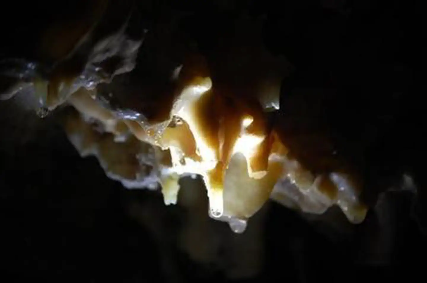
Seeping water continued to enter the air-filled chambers of the cave. Every water droplet carried with it a small amount of dissolved limestone. When exposed to the air of the open chamber, the carbon dioxide gas escaped from the solution. Calcite and other minerals formed deposits along the walls, ceilings and floors. These deposits created the beautiful and mysterious formations we know as speleothems.
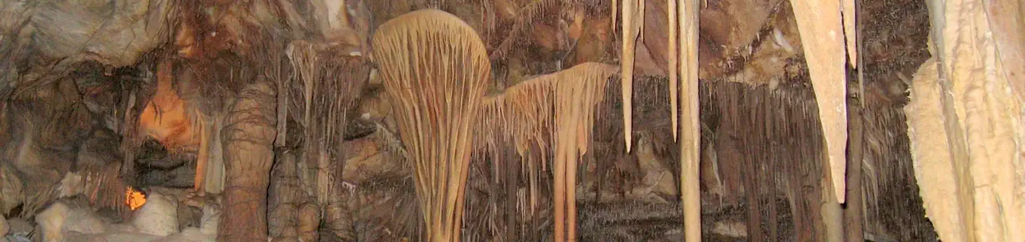
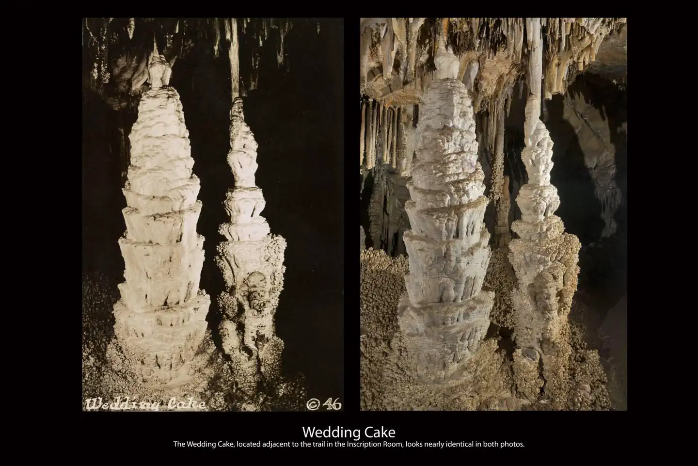
Today, these same processes of growth continue, slowly decorating the passages and rooms of the cave, adding to the fantastic examples of stalactites, columns, draperies, flowstone, helicities, and rare shield formations.
Getting there
Plane
The nearest airport is located in Ely, NV, 70 miles away, or Cedar City, Utah, 142 miles away. Major airports are in Salt Lake City, Utah (234 miles) and Las Vegas, Nevada (286 miles).
Car
From the east or west: From U.S. Highway 6 & 50, turn south on Nevada State Highway 487 and travel 5 miles to Baker, NV. In Baker, turn west on Highway 488 and travel 5 miles to the park.
From the south (Utah): Travel north on Utah State Highway 21 through Milford, UT and Garrison, UT, which will become Nevada State Highway 487 as you cross the border. Turn west on Highway 488 in Baker and travel 5 miles to the park.
From the south (Nevada): Travel north on U.S. Highway 93 (Great Basin Highway). At the junction of U.S. Highway 6 & 50 drive east to Nevada State Highway 487 and turn south. Travel 5 miles to Baker, NV. In Baker, turn west on Highway 488 and travel 5 miles to the park.
39.00551, -114.21998 · 39°0'19.8"N 114°13'11.9"W
Typical weather
Typically 85°F in Jul, down to 40°F in Jan.
| Jan | Feb | Mar | Apr | May | Jun | Jul | Aug | Sep | Oct | Nov | Dec | |
|---|---|---|---|---|---|---|---|---|---|---|---|---|
| High °F | 40 | 41 | 48 | 55 | 64 | 76 | 85 | 83 | 73 | 60 | 48 | 40 |
| Low °F | 20 | 21 | 27 | 32 | 40 | 49 | 58 | 56 | 48 | 36 | 26 | 20 |
| Precip in | 1.3 | 1.5 | 1.2 | 1.6 | 1.3 | 1.1 | 0.9 | 1.2 | 1.1 | 1.3 | 0.9 | 1.0 |
1991–2020 averages from the nearest NOAA station, 0 mi away — not measured at the facility itself, and elevation can make a real difference over that distance.
Map
More photos
Member photos
Common questions about Lehman Caves Tours
- Can you reserve a site at Lehman Caves Tours?
- Yes, Lehman Caves Tours is reservable through Recreation.gov.
Camping near Lehman Caves Tours
- Grey Cliffs Campground 1.1 mi · Campground · we watch it
- Lower Lehman Creek Campground 1.3 mi · Campground · we watch it
- Upper Lehman Creek Campground 1.6 mi · Campground · we watch it
- Wheeler Peak Campground 4.5 mi · Campground · we watch it
- Timber Creek Campground 34.9 mi · Campground · we watch it
- Bird Creek Campground 39.2 mi · Campground · we watch it
- Lehman Caves Visitor Center less than 0.1 mi · Visitor Center
- Great Basin Visitor Center 5.1 mi · Visitor Center
- Snake Creek Primitive Campgrounds 5.8 mi · Facility
- Sacramento Pass Rec. Area 9.2 mi · Facility
- Cleve Creek Campground 22.3 mi · Campground
- Conger Mountain One Day Ride 32.6 mi · Facility
Contact
- Phone 775-234-7500
- Book Recreation.gov
Recreation.gov last updated this record on 2026-02-25.
Facility information and photographs from Recreation.gov (RIDB). SpotOpened is not affiliated with Recreation.gov or any federal agency.
Comments