Covered Bridge
Campground · New Hampshire · 29 bookable sites ·
Managed by the USDA Forest Service
White Mountain National Forest (NF) · Open Access
- 29
- Bookable sites
- 35 ft
- Max rig length
- up to 8
- People per site
- 24
- Accessible sites
- 842 ft
- Elevation
Overview
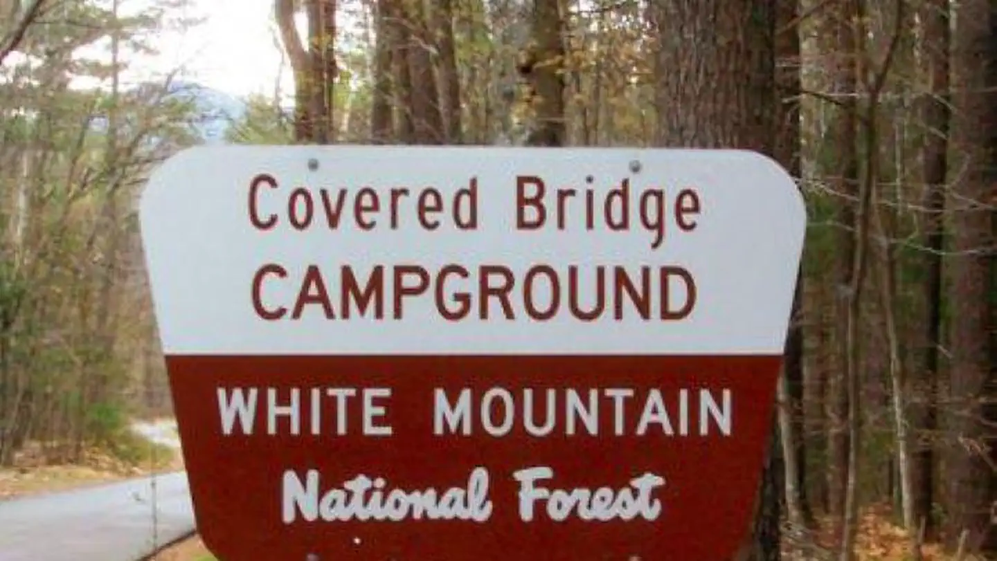
Covered Bridge Campground is located in a thick forest along one of the most scenic drives in New Hampshire. This facility provides access to the heart of White Mountain National Forest and its many recreation opportunities such as hiking, biking, fishing and sightseeing.The quaint town of Conway is just 6 miles away and provides shops, restaurants and other conveniences.
The White Mountains boast pristine forests, clear mountain streams and rivers and the tallest peaks in the Northeast. The forest encompasses nearly 800,000 acres in New Hampshire and western Maine, and is one of the most popular in the country.
Recreation
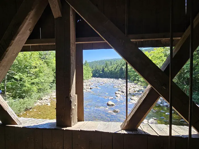
The adjacent Kancamagus Highway, referred to locally as "the Kanc," is a National Scenic Byway that offers some of the best fall foliage viewing in New England. The 26.5-mile road connects the towns of Lincoln to the west and Conway to the east, and takes about one hour to drive from end to end.The cool, cascading Swift River is a great spot to wade or fish for brook trout during warm summer months.
The area is extremely popular for hiking. The 3-mile Boulder Loop Trail and a 0.5-mile nature trail can be accessed near the campground.
Learn more about recreation in the national forest.
Facilities
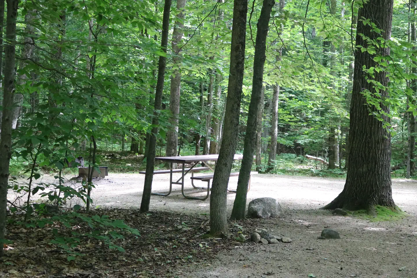
The facility is organized into two loops. Accessible vault restrooms and a hand pump for water are provided. No showers or dump station are available.Natural Features
The campground is nestled in an old hardwood forest near the Swift River. The forest is home to many species of northern wildlife, including moose, white-tailed deer and black bear. Almost 200 species of birds, including the rare Bicknell's Thrush, live in the forest.Contact Info
For facility specific information, please call (802) 289-0970.Nearby Attractions
The nearby towns of Conway and North Conway offer tours, shopping, restaurants and many other amenities.Within an hour drive, campers can access the Presidential Range, which consists of the tallest mountains in the forest, including the 6,288-ft. Mount Washington, the highest peak north of the Smoky Mountains and east of the Mississippi River.
The White Mountains region hosts four alpine and five nordic ski areas, which provide year-round recreation opportunities.
The facts
- Season: mid-May – mid-October — USDA Forest Service, Aug 24, 2026
- 29 bookable sites
- 50 sites in total, including non-bookable
- 24 accessible sites
- Vehicles up to 35 ft
- Up to 8 people per site
- Loops: COVE, MANAGEMENT SITES
Site types
- 21 Management
- 21 Standard Nonelectric
- 8 Tent Only Nonelectric
Amenities
- Shade
- Pets allowed
Not recorded upstream: electric hookups, water hookups, sewer hookups, campfires allowed, fire pits, picnic tables, grills.
50 campsites at Covered Bridge
| Site | Loop | Type | Entry | Surface | Access | Max rig | People | |
|---|---|---|---|---|---|---|---|---|
| 009 | COVE | Standard Nonelectric | Back In | Gravel | — | 30 ft | 8 | ♿ 🐾 |
| 010 | COVE | Standard Nonelectric | Back In | Gravel | — | 30 ft | 8 | ♿ 🐾 |
| 011 | COVE | Standard Nonelectric | Back In | Gravel | — | 30 ft | 8 | ♿ 🐾 |
| 012 | COVE | Standard Nonelectric | Back In | Gravel | — | 30 ft | 8 | ♿ 🐾 |
| 013 | COVE | Standard Nonelectric | Back In | Gravel | — | 30 ft | 8 | ♿ 🐾 |
| 014 | COVE | Standard Nonelectric | Back In | Gravel | — | 30 ft | 8 | ♿ 🐾 |
| 015 | COVE | Standard Nonelectric | Back In | Gravel | — | 30 ft | 8 | ♿ 🐾 |
| 016 | COVE | Standard Nonelectric | Back In | Gravel | — | 30 ft | 8 | ♿ 🐾 |
| 017 | COVE | Tent Only Nonelectric | — | Gravel | — | — | 8 | 🐾 |
| 029 | COVE | Standard Nonelectric | Back In | Gravel | — | 25 ft | 8 | ♿ 🐾 |
| 030 | COVE | Standard Nonelectric | Back In | Gravel | — | 30 ft | 8 | ♿ 🐾 |
| 031 | COVE | Standard Nonelectric | Back In | Gravel | — | 30 ft | 8 | ♿ 🐾 |
| 032 | COVE | Tent Only Nonelectric | — | Gravel | — | — | 8 | ♿ 🐾 |
| 033 | COVE | Standard Nonelectric | Back In | Gravel | — | 30 ft | 8 | 🐾 |
| 034 | COVE | Standard Nonelectric | Back In | Gravel | — | 30 ft | 8 | ♿ 🐾 |
| 035 | COVE | Standard Nonelectric | Back In | Gravel | — | 30 ft | 8 | ♿ 🐾 |
| 036 | COVE | Standard Nonelectric | Back In | Gravel | — | 30 ft | 8 | ♿ 🐾 |
| 037 | COVE | Tent Only Nonelectric | — | Gravel | — | 30 ft | 8 | ♿ 🐾 |
| 038 HOST | COVE | Management | Back In | Gravel | — | 30 ft | 8 | ♿ 🐾 |
| 039 | COVE | Standard Nonelectric | Back In | Gravel | — | 35 ft | 8 | ♿ 🐾 |
| 040 | COVE | Standard Nonelectric | Back In | Gravel | — | 30 ft | 8 | ♿ 🐾 |
| 041 | COVE | Tent Only Nonelectric | — | Gravel | Walk In | — | 8 | 🐾 |
| 042 | COVE | Standard Nonelectric | Back In | Gravel | — | 25 ft | 8 | ♿ 🐾 |
| 043 | COVE | Tent Only Nonelectric | — | Gravel | Walk In | — | 8 | 🐾 |
| 044 | COVE | Standard Nonelectric | Back In | Gravel | — | 25 ft | 8 | ♿ 🐾 |
| 045 | COVE | Tent Only Nonelectric | — | Gravel | Walk In | — | 8 | 🐾 |
| 046 | COVE | Standard Nonelectric | Back In | Gravel | — | 25 ft | 8 | ♿ 🐾 |
| 047 | COVE | Tent Only Nonelectric | — | Gravel | Walk In | — | 8 | 🐾 |
| 048 | COVE | Standard Nonelectric | Back In | Gravel | — | 25 ft | 8 | ♿ 🐾 |
| 049 | COVE | Tent Only Nonelectric | — | Gravel | Walk In | — | 8 | 🐾 |
| 001 | MANAGEMENT SITES | Management | — | — | — | — | — | |
| 002 | MANAGEMENT SITES | Management | — | — | — | — | — | |
| 003 | MANAGEMENT SITES | Management | — | — | — | — | — | |
| 004 | MANAGEMENT SITES | Management | — | — | — | — | — | |
| 005 | MANAGEMENT SITES | Management | — | — | — | — | — | |
| 006 | MANAGEMENT SITES | Management | — | — | — | — | — | |
| 007 | MANAGEMENT SITES | Management | — | — | — | — | — | |
| 008 | MANAGEMENT SITES | Management | — | — | — | — | — | |
| 018 | MANAGEMENT SITES | Management | — | — | — | — | — | |
| 019 | MANAGEMENT SITES | Management | — | — | — | — | — | |
| 020 | MANAGEMENT SITES | Management | — | — | — | — | — | |
| 021 | MANAGEMENT SITES | Management | — | — | — | — | — | |
| 022 | MANAGEMENT SITES | Management | — | — | — | — | — | |
| 023 | MANAGEMENT SITES | Management | — | — | — | — | — | |
| 024 | MANAGEMENT SITES | Management | — | — | — | — | — | |
| 025 | MANAGEMENT SITES | Management | — | — | — | — | — | |
| 026 | MANAGEMENT SITES | Management | — | — | — | — | — | |
| 027 | MANAGEMENT SITES | Management | — | — | — | — | — | |
| 028 | MANAGEMENT SITES | Management | — | — | — | — | — | |
| XXX | MANAGEMENT SITES | Management | Back In | Gravel | — | 30 ft | 8 | ♿ |
Getting there
Vehicles 7'9" or taller are unable to pass through due to height restriction for the covered bridge and must use an alternate route: At traffic light in Conway Village go north on Washington Street, which becomes West Side Road. Proceed approximately 1 mile to Passaconaway Road. Turn west on Passaconaway road and follow for 5 miles to the campground.
44.00333, -71.23222 · 44°0'12.0"N 71°13'56.0"W
Typical weather
| Jan | Feb | Mar | Apr | May | Jun | Jul | Aug | Sep | Oct | Nov | Dec | |
|---|---|---|---|---|---|---|---|---|---|---|---|---|
| High °F | — | — | — | — | — | — | — | — | — | — | — | — |
| Low °F | — | — | — | — | — | — | — | — | — | — | — | — |
| Precip in | 4.0 | 3.3 | 3.6 | 4.3 | 3.7 | 4.5 | 4.5 | 4.3 | 4.2 | 5.3 | 4.5 | 4.6 |
1991–2020 averages from the nearest NOAA station, 5.1 mi away — not measured at the facility itself, and elevation can make a real difference over that distance.
Map
More photos
Member photos
Common questions about Covered Bridge
- Can you reserve a site at Covered Bridge?
- Yes, Covered Bridge is reservable through Recreation.gov.
- How many campsites does Covered Bridge have?
- 50 sites in total, of which 29 can be booked.
- What is the maximum RV length at Covered Bridge?
- 35 ft. That is the longest vehicle the sites here are recorded as taking; individual sites may be shorter.
- Are pets allowed at Covered Bridge?
- Yes, pets are allowed at Covered Bridge.
Also listed by
Covered Bridge also appears in other federal recreation data. Facts below are matched by name and location, not confirmed by Covered Bridge's operator.
USDA Forest Service — data as of Aug 24, 2026
- Single Family Site Per site / per night $30.00
- Extra Vehicle (Space Permitting) Per vehicle / per night $6.00
Accessibility:
- This campground has accessible sites and is near an accessible fishing pier.
Camping near Covered Bridge
- White Ledge Campground 3.5 mi · Campground · we watch it
- Radeke Cabin 6.7 mi · Campground · we watch it
- Boulder Loop Trailhead 0.4 mi · Facility
- Blackberry Crossing Campground 0.7 mi · Campground
- Camp Penacook Shelter 3.6 mi · Campground
- Jim Liberty Cabin 4.1 mi · Campground
- Jigger Johnson Campground 5.1 mi · Campground
- Saco Ranger District 5.2 mi · Facility
- Sawyer Pond Trailhead (Kancamagus Hwy) 6.2 mi · Facility
- Mt. Langdon Trailhead 6.2 mi · Facility
- Passaconaway Campground 6.9 mi · Campground
- Fourth Iron Campground 7.9 mi · Campground
Contact
- Phone 603-447-2166
- Email whitemountaincampgrounds@goexplorus.com
- Book Recreation.gov
Recreation.gov last updated this record on 2026-02-25.
Facility information and photographs from Recreation.gov (RIDB). SpotOpened is not affiliated with Recreation.gov or any federal agency.
Comments