Fort Niobrara Wilderness
Facility · Nebraska ·
Managed by the Fish and Wildlife Service
Fort Niobrara National Wildlife Refuge (NWR) · Restricted Access
- 2,463 ft
- Elevation
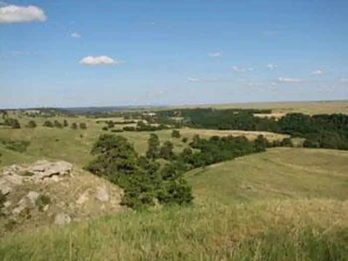
The Fort Niobrara Wilderness now contains a total of 4,635 acres and is managed by the Fish & Wildlife Service's Fort Niobrara National Wildlife Refuge. All of the Wilderness is in the state of Nebraska. In 1976 the Fort Niobrara Wilderness became part of the now over 110 million acre National Wilderness Preservation System.
Herds of bison and elk find sanctuary in the rolling sand hills of Fort Niobrara National Wildlife Refuge. Little remains of the fort that once protected northern Nebraska settlers. The only surviving colonists, prairie dogs, have taken up residence in "dog towns" beneath the wildflower-scattered grasses. The Niobrara River flows swiftly through about nine miles of the refuge, creating a canyon riverine ecosystem of trees and bushes and attracting summer canoeists. From the south rim of the Niobrara River canyon and north to the refuge boundary, you'll find the Fort Niobrara Wilderness, a unique mix of prairie and wooded valleys. Bison winter here, then head south of the river for the summer. Day-hikers can have a great adventure in the wilderness year round. No maintained trails offer access north of the river. The Fort Falls Trail is maintained on the south side of the river. The refuge is open only during daylight hours, and camping is prohibited.
Getting there
The Fort Niobrara Wilderness is located on the Fort Niobrara National Wildlife Refuge, 4 miles east of Valentine, NE off Highway 12. Ther are four main access points for the wilderness: By horses or foot at an access point located at the Fort Niobrara Corrals, by foot only from the observation area and Fort Falls Trail, and from the Niobrara River. Access to the river is from the refuge canoe launch. There is a $1.00 per person charge to use the canoe launch.
42.89322, -100.47697 · 42°53'35.6"N 100°28'37.1"W
Typical weather
| Jan | Feb | Mar | Apr | May | Jun | Jul | Aug | Sep | Oct | Nov | Dec | |
|---|---|---|---|---|---|---|---|---|---|---|---|---|
| High °F | — | — | — | — | — | — | — | — | — | — | — | — |
| Low °F | — | — | — | — | — | — | — | — | — | — | — | — |
| Precip in | 0.4 | 0.6 | 1.2 | 2.7 | 3.5 | 4.2 | 2.9 | 2.4 | 1.9 | 1.8 | 0.6 | 0.4 |
1991–2020 averages from the nearest NOAA station, 3.7 mi away — not measured at the facility itself, and elevation can make a real difference over that distance.
Map
Member photos
Common questions about Fort Niobrara Wilderness
- Can you reserve a site at Fort Niobrara Wilderness?
- No. Fort Niobrara Wilderness is not reservable through Recreation.gov, so sites are first-come, first-served or booked elsewhere.
Camping near Fort Niobrara Wilderness
- Niobrara National Scenic River Visitor Center 4.3 mi · Facility
- Samuel R. McKelvie National Forest 30.3 mi · Facility
- Steer Creek Campground 37.1 mi · Campground
Contact
- Phone (402) 376-3789
- Email fortniobrara@fws.gov
- Info Recreation.gov
Recreation.gov last updated this record on 2026-02-25.
Facility information and photographs from Recreation.gov (RIDB). SpotOpened is not affiliated with Recreation.gov or any federal agency.
Comments